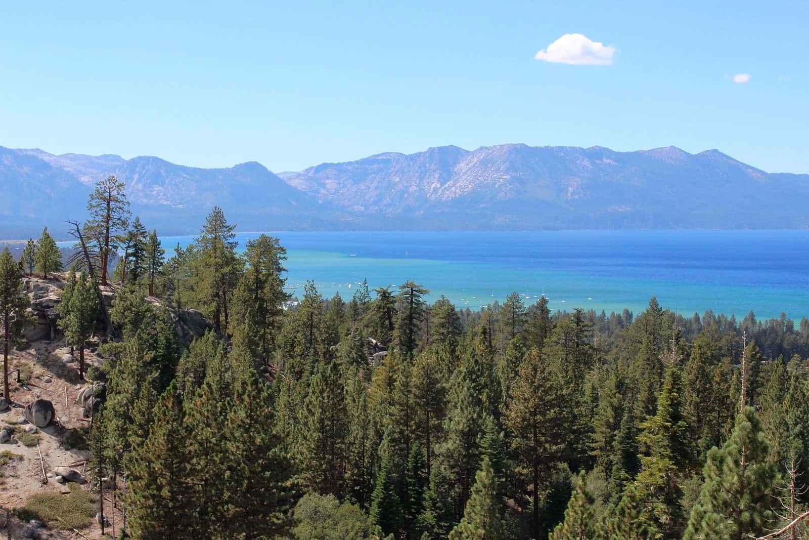
Situated in the eastern foothills of the Sierra Nevada, Indian Creek Recreation Area offers a variety of outdoor recreation opportunities highlighted by Indian Creek Reservoir, Indian Creek Campground and the East Fork of the Carson River. Elevation in the area ranges from 5,600 feet at the reservoir to 6,400 feet in the surrounding foothills. Pine trees and sagebrush dot the landscape.
Summers are generally warm and dry with daytime temperatures occasionally reaching 90 degrees Fahrenheit, while evenings are cool and comfortable. Sunny and dry days prevail, interspersed with periods of spectacular thunderstorms in the mid-summer months. Winter brings heavy snow at times, and temperatures can drop well below freezing. It is not unusual for the reservoir to freeze over in the winter.
Paved access is provided by Airport Road off California State Route 89 midway between Woodfords and Markleeville, California.
Explore Nearby
- Grover Hot Springs State Park — State Park in California
- Ebbetts Pass Scenic Byway — Scenic Byway in California
- Lake Valley State Recreation Area — State Park in California
- Lake Tahoe Basin Management Unit National Forest — National Forest in California, Nevada
- Rubicon Point Light — Lighthouse in California