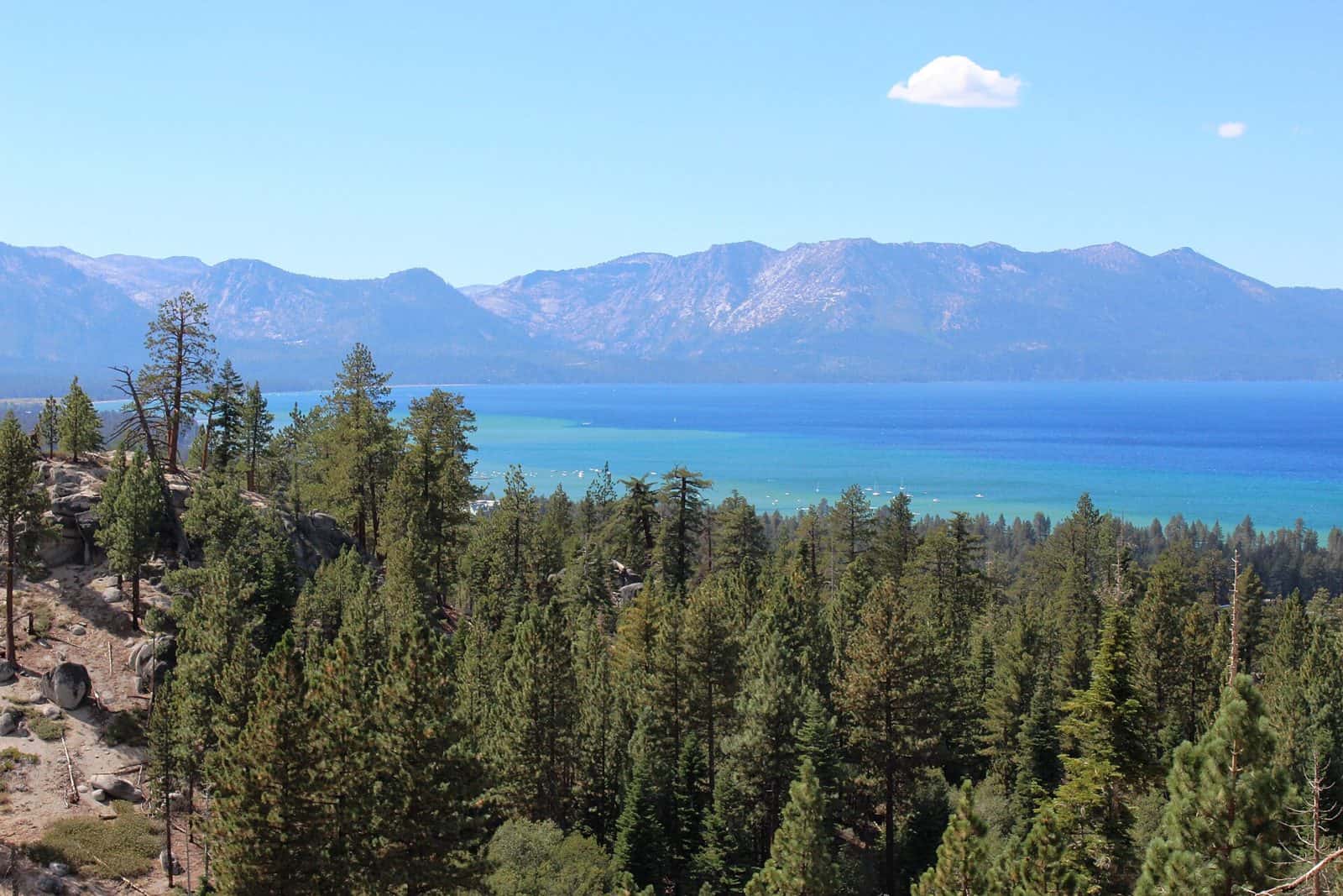
Straddling the California–Nevada border in the Sierra Nevada, the Lake Tahoe Basin Management Unit protects 152,008 acres of stunning alpine terrain surrounding one of North America’s deepest and clearest lakes. Established in 1973, this unique forest unit was created specifically to manage the fragile ecosystem of the Lake Tahoe Basin, where elevations range from 6,225 feet at the lake’s surface to 10,881 feet at Freel Peak—the highest summit in the Tahoe Basin.
The crystalline waters of Lake Tahoe serve as the centerpiece, but the surrounding forest offers extensive trail networks through old-growth Jeffrey pine and red fir stands. Anglers can cast for Mackinaw trout and kokanee salmon in the lake and its tributary streams, while hikers access portions of the Tahoe Rim Trail and routes leading to granite peaks with panoramic views.
Nine campgrounds provide overnight options, including Fallen Leaf Campground near its namesake lake, William Kent Campground on the west shore, and Kaspian Campground tucked along the shoreline. Meeks Bay Resort and Eagles Nest at Camp Richardson Resort offer more developed accommodations for those preferring amenities.
Summer months—June through September—bring ideal conditions for camping, hiking, and water activities, though wildflower displays peak in July at higher elevations. The forest remains accessible year-round from Lake Tahoe city and surrounding communities via Highway 89 and Highway 50, with winter bringing cross-country skiing and snowshoeing opportunities along designated trails.
Explore Nearby
- Van Sickle Bi-State Park — State Park in Nevada
- Lake Valley State Recreation Area — State Park in California
- Rubicon Point Light — Lighthouse in California
- Faye-Luther Trail System — Public Land in Nevada
- Sugar Pine Point Light — Lighthouse in California