
Faye-Luther Trail System
Nevada
The Faye-Luther Trail System offers approximately 9 miles of loop and connector trails managed by the Bureau of Land Management in Nevada. Two trailheads—Fay-Luther and Jobs Peak—provide access to this mixed-use network popular with both hikers and mountain bikers.
The terrain winds through high desert landscape typical of the Carson Valley area, with elevation changes that provide views of the surrounding Sierra Nevada foothills. Trails are well-marked, and staying on designated routes is essential due to adjacent private property. Dogs are permitted but must remain leashed throughout the system.
As BLM land, dispersed camping is generally allowed in the surrounding area, though campers should verify current regulations and respect private property boundaries near the trailheads. No developed campgrounds or facilities exist within the trail system itself.
Access is straightforward from the Gardnerville area. Spring and fall provide the most comfortable conditions for extended outings, while summer months bring intense heat to the lower elevations. Early morning starts are recommended during warmer seasons. Snow and mud may limit winter access depending on elevation and recent weather.
Explore Nearby
- Van Sickle Bi-State Park — State Park in Nevada
- Mormon Station State Historic Park — State Park in Nevada
- Lake Tahoe Basin Management Unit National Forest — National Forest in California, Nevada
- Rubicon Point Light — Lighthouse in California
- Sugar Pine Point Light — Lighthouse in California
Nearby Discoveries
12 places to explore within 30 miles
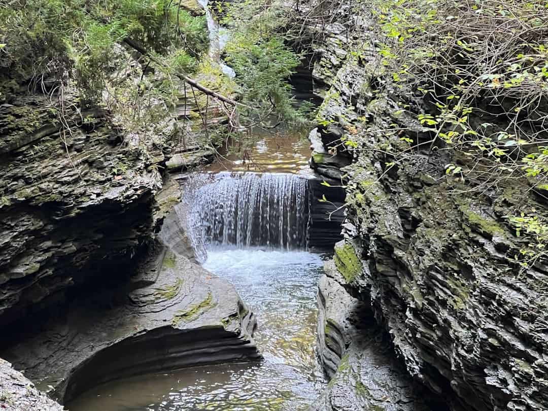
Van Sickle Bi-State Park
9.1 miles away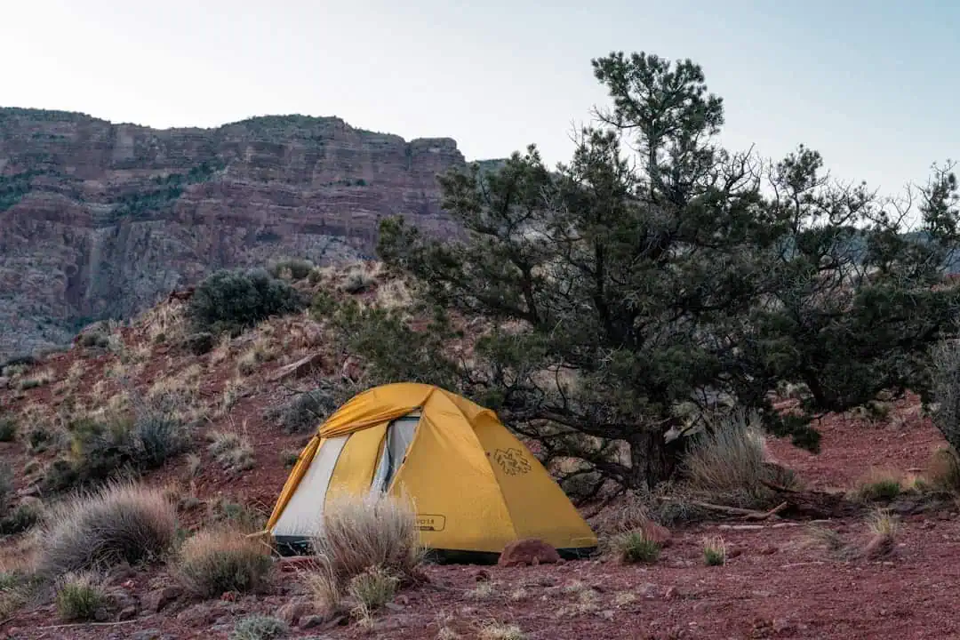
Indian Creek Recreation Area
9.2 miles away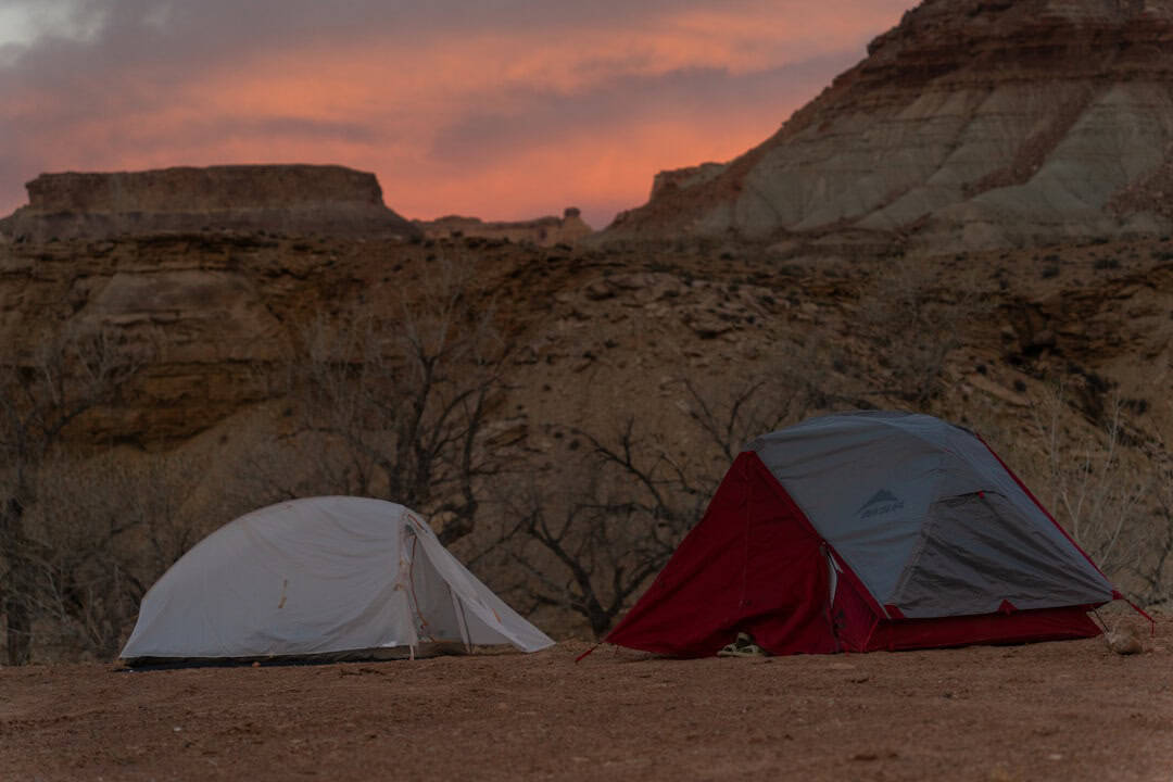
Indian Creek Recreation Area
9.2 miles away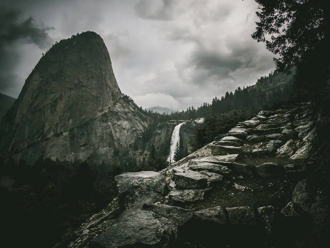
Mormon Station State Historic Park
9.5 miles away
Lake Tahoe Basin Management Unit National Forest
9.7 miles away · 4.4 ★
Lake Valley State Recreation Area
10.6 miles away · 4.6 ★
Washoe Meadows State Park
11.8 miles away · 4.4 ★
Grover Hot Springs State Park
12 miles away · 4.5 ★
Emerald Bay State Park
16.9 miles away · 4.8 ★
D. L. Bliss State Park
17.4 miles away · 4.6 ★
Rubicon Point Light
17.6 miles away
