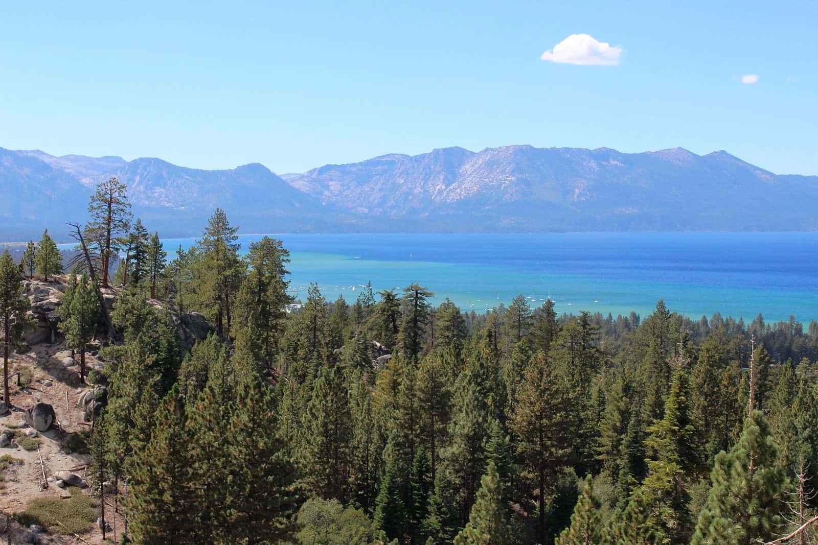
Winding 61 miles through the heart of California’s Sierra Nevada, Ebbetts Pass Scenic Byway (State Route 4) delivers one of the most dramatic alpine drives in the West. Beginning in the charming mountain town of Arnold and climbing to 8,730 feet at Ebbetts Pass before descending to SR 89 near Markleeville, this National Scenic Byway traverses landscapes that shift from towering pine forests to granite-studded high country.
Along the way, discover the ancient giants of Calaveras Big Trees State Park, where massive sequoias have stood for millennia. The route passes pristine alpine lakes perfect for fishing and picnicking, including Lake Alpine and Mosquito Lakes. At the summit, pull over to breathe in crisp mountain air and take in sweeping views of volcanic peaks and wildflower-dotted meadows.
The narrow, winding road near the pass adds adventure to the journey—tight curves and steep grades reward confident drivers with unforgettable scenery. Stop in historic Markleeville, one of California’s smallest county seats, for a taste of authentic Gold Rush heritage.
Best time to visit: Late June through October, after snowmelt clears the pass. Allow 2-3 hours for the drive, longer if you plan to hike or explore the parks along the way.
Explore Nearby
- Grover Hot Springs State Park — State Park in California
- Indian Creek Recreation Area — Public Land in California
- Indian Creek Recreation Area — Public Land in California
- Stanislaus National Forest — National Forest in California
- Lake Valley State Recreation Area — State Park in California