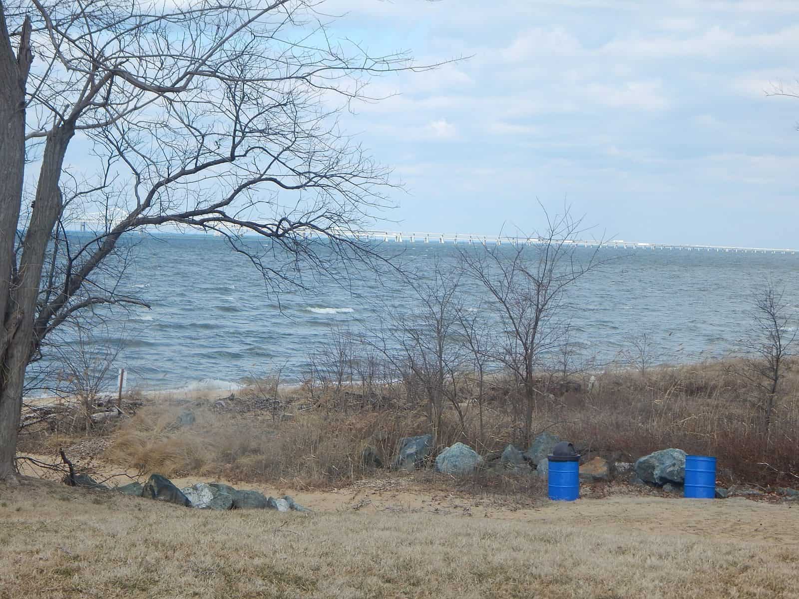
Tucked along the Eastern Shore in Queen Anne’s County, Wye Island Natural Resources Management Area spreads across 2,450 acres of tidal marshland, mature hardwood forests, and open fields on a secluded island in the Wye River. Connected to the mainland by a single bridge, the area feels remarkably remote despite sitting just minutes from Route 50.
Six miles of shoreline and nearly seven miles of trails make Wye Island a quiet haven for hikers, birders, and paddlers. The flat, well-maintained trail system loops through holly groves and along bluffs overlooking the Wye East River, rewarding walkers with views of osprey nests, great blue herons, and the occasional bald eagle. Kayakers and canoeists will find sheltered launches ideal for exploring the island’s creeks and coves, where the calm tidal waters suit all skill levels.
Hunting is permitted in season across designated areas, drawing waterfowl and deer hunters each fall and winter. Equestrians share several trails, and the open fields invite picnicking and wildlife photography year-round.
Spring brings migrating warblers and wildflower blooms along the forest floor. Fall delivers stunning foliage against the tidal backdrop, with fewer visitors and cooler temperatures for comfortable trail days. Summer can be hot and humid, but the waterfront breezes help.
Explore Nearby
- Bodkin Island Light — Lighthouse in Maryland
- Hooper Strait Light — Lighthouse in Maryland
- Chesapeake Country Scenic Byway — Scenic Byway in Maryland
- Harriet Tubman Underground Railroad Byway — Scenic Byway in Maryland
- Jericho Covered Bridge — Covered Bridge in Maryland