
Lower Valley Pike Scenic Byway
Ohio
18.0 miles
Follow the Lower Valley Pike Scenic Byway on an 18-mile journey through the heart of Ohio’s Miami Valley, where history and pastoral beauty unfold at every turn. This state-designated scenic byway traces one of Ohio’s oldest transportation corridors, passing through rolling farmland, quiet river towns, and landscapes shaped by centuries of settlement along the Great Miami River.
Travelers will enjoy sweeping views of fertile bottomlands framed by gentle hills, with the river never far from sight. Historic stone and brick buildings dot the small communities along the route, offering glimpses into the region’s rich agricultural and industrial heritage. Watch for old canal remnants, charming covered bridges nearby, and well-preserved 19th-century architecture that speaks to the pike’s importance as a vital early American roadway.
Spring and early fall are ideal times to drive the Lower Valley Pike, when wildflowers brighten the roadsides or autumn color sets the valley ablaze. Allow one to two hours to complete the drive at a leisurely pace, with time to stop at local antique shops, roadside produce stands, and riverside pull-offs perfect for photography.
This is a quiet, unhurried drive that rewards those who slow down and take it all in.
Explore Nearby
- High Point Monument — State Park in New Jersey
- High Point State Park — State Park in New Jersey
- Cliff Ridge Hang Gliding Area — Public Land
- Stony Point Light — Lighthouse in New York
- Tarrytown Light — Lighthouse in New York
Photos

Nearby Discoveries
12 places to explore within 30 miles
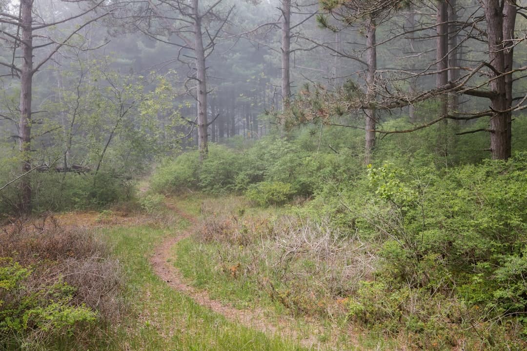
Buck Creek State Park
8 miles away
Glen Helen Covered Bridge
9 miles away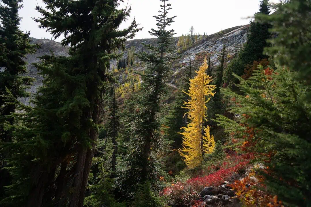
John Bryan State Park
9.2 miles away
Hyde Road Covered Bridge
9.5 miles away
Stevenson Road Covered Bridge
13 miles away
Charlton Mill Road Bridge
13.3 miles away
Great Council State Park
13.8 miles away
Ballard Road Covered Bridge
17.1 miles away
Kiser Lake State Park
20 miles away
Eldean Covered Bridge
21.3 miles away
Feedwire Covered Bridge
21.4 miles away
