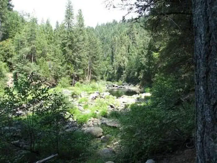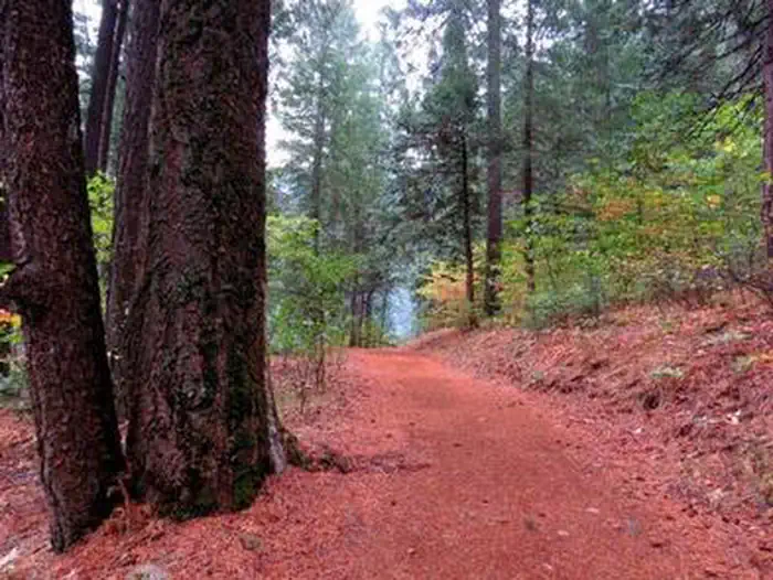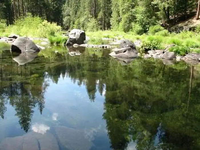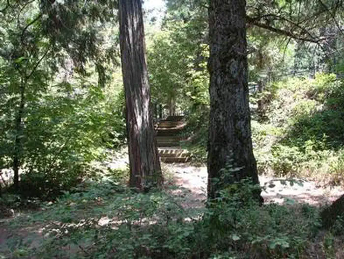
Bridal Veil Falls State Scenic Viewpoint offers one of the most accessible waterfall experiences in Oregon’s Columbia River Gorge. Located just off the Historic Columbia River Highway about 30 minutes east of Portland, this compact park packs a remarkable amount of scenery into a short visit.
Two trails depart from the parking area. The lower trail drops about half a mile to the base of Bridal Veil Falls, a two-tiered cascade plunging roughly 120 feet into a mossy basalt bowl. The upper trail, an easy interpretive loop, leads to a fenced overlook with sweeping views of the Columbia River and the Gorge’s basalt cliffs. Both paths are short enough for families with young children, though the lower trail includes stairs and can be slippery when wet.
Spring is the prime season here. Snowmelt and rain push the falls to their fullest between March and May, and the surrounding forest floor erupts with wildflowers — look for camas, bleeding heart, and trillium along the upper loop. Summer brings drier conditions and thinner water flow, but the shaded forest stays cool even on hot days. Winter visits are possible but icy conditions sometimes close the trail.
There is no camping at Bridal Veil Falls itself, though nearby Ainsworth State Park offers full-hookup sites within a few miles along the Historic Highway.
Expect a popular trailhead on weekends. Arriving before 10 a.m. or visiting midweek helps you avoid the crowds and enjoy the falls in relative quiet.
Explore Nearby
- Eldorado National Forest — National Forest in California, Nevada
- Buffalo Hills — Public Land in California
- Rubicon Point Light — Lighthouse in California
- Sugar Pine Point Light — Lighthouse in California
- Lake Tahoe Basin Management Unit National Forest — National Forest in California, Nevada