
George W. Joseph State Natural Area (accessible from Guy W. Talbot State Park)
Oregon (Portland/Columbia Gorge County)
I’ll write this based on my knowledge of the area. George W. Joseph State Natural Area is well-known for Upper Latourell Falls and its connection to Guy W. Talbot State Park along the Historic Columbia River Highway.
George W. Joseph State Natural Area
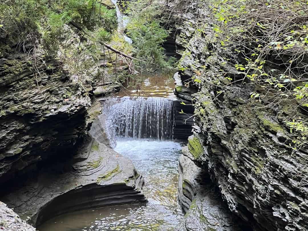
Tucked into the lush basalt cliffs of the Columbia River Gorge, George W. Joseph State Natural Area is one of Oregon’s most rewarding short hikes — and one of its best-kept secrets. Accessed through neighboring Guy W. Talbot State Park, this natural area is home to Upper Latourell Falls, a striking 100-foot cascade that fans across a mossy amphitheater of columnar basalt.
Most visitors to Guy W. Talbot stop at Lower Latourell Falls near the parking area and turn around. Those who continue on the 2.3-mile loop trail climb through a dense canopy of Douglas fir and bigleaf maple into Joseph Natural Area, where the upper falls reveal themselves in a quieter, more intimate setting. The trail crosses a bridge above the falls, offering a rare top-down perspective before looping back through wildflower meadows that erupt with color in late spring.
The park has no camping facilities, but nearby Ainsworth State Park offers full-hookup campsites just minutes east along the Historic Columbia River Highway. Day-use access is free and no permits are required.
The best time to visit is late April through June, when snowmelt powers the falls and wildflowers line the trail. Fall brings golden foliage and thinner crowds. Winter visits reward with dramatic water flow, though trails can be muddy and slippery.
Bring sturdy shoes, layers for Gorge microclimates, and a camera — the basalt formations alone are worth the trip.
Explore Nearby
- Historic Columbia River Highway — Scenic Byway in Oregon
- Sandy Wild and Scenic River — Public Land in Oregon
- Lost Lake sits within the Widow Mountain Wilderness Study Area — Public Land
- Mount Hood National Forest — National Forest in Oregon
- Cedar Creek Covered Bridge — Covered Bridge in Washington
Photos
Nearby Discoveries
12 places to explore within 30 miles
Guy W. Talbot State Park
0.6 miles away
Crown Point State Scenic Corridor
1.3 miles away
Rooster Rock State Park
1.4 miles away
Shepperd’s Dell State Natural Area
1.5 miles away
Portland Women’s Forum State Scenic Viewpoint
1.9 miles away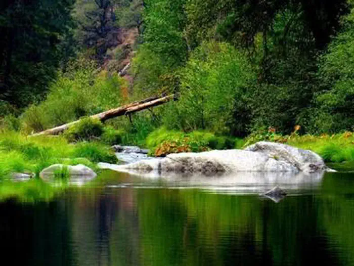
Bridal Veil Falls State Scenic Viewpoint
2.8 miles away
Reed Island
4.2 miles away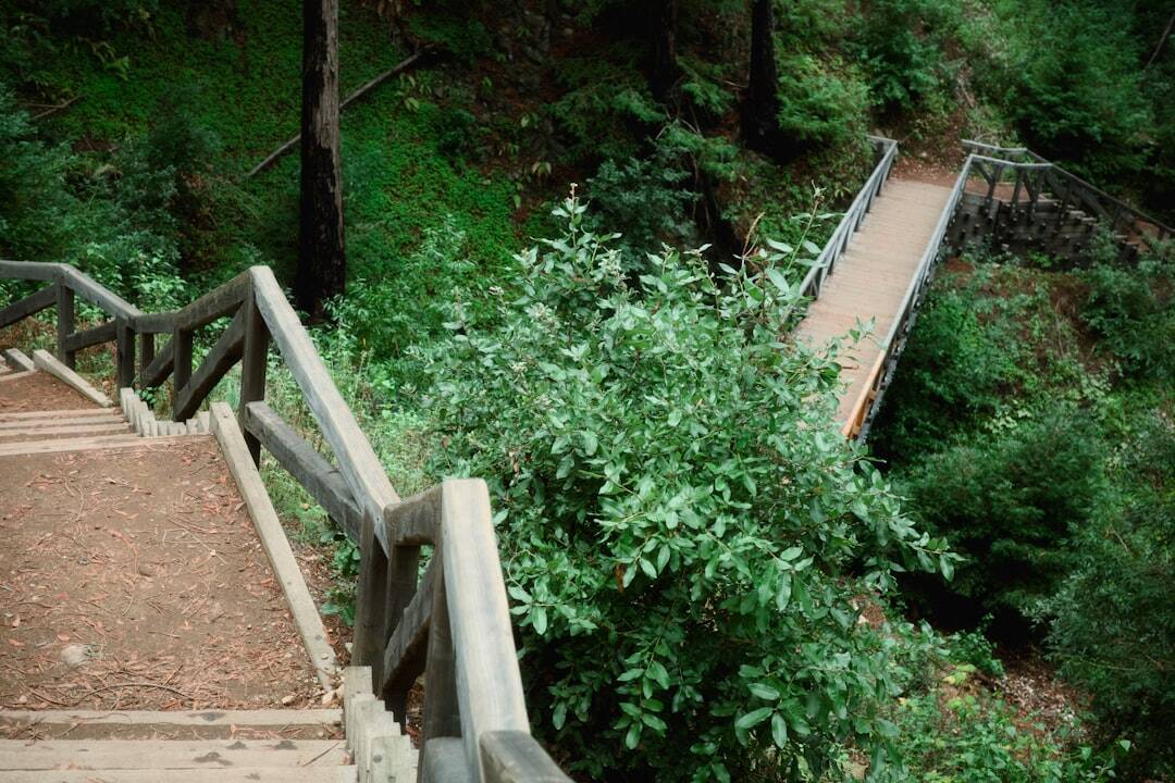
Benson State Recreation Area
5.8 miles away
Dabney State Recreation Area
6.2 miles away
Lewis and Clark State Recreation Site
7.4 miles away
Ainsworth State Park
9.7 miles away
