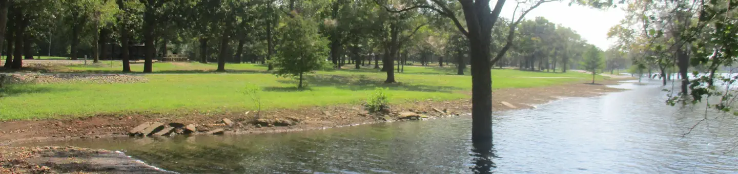
Spanning 1.6 million acres along the eastern slopes of Oregon’s Cascade Range, Deschutes National Forest offers dramatic volcanic landscapes, alpine lakes, and year-round outdoor recreation just minutes from Bend.
Established in 1908, this Central Oregon forest is defined by its high-desert terrain meeting mountain wilderness. Mount Bachelor anchors the winter experience with reliable snowfall for skiing, while summer transforms the same slopes into hiking and mountain biking territory. The forest maintains an extensive trail network that draws riders from across the Pacific Northwest.
Water defines much of the Deschutes experience. Cultus Lake, South Twin Lake, and dozens of other alpine bodies provide excellent fishing for trout and kokanee salmon, plus opportunities for boating and paddling. The forest’s 73 campgrounds—including popular spots like Princess Creek, Three Creeks Meadow, and Cold Springs—range from developed sites with full amenities to primitive backcountry locations.
Best Times to Visit: Summer (June–September) offers the widest access, with most campgrounds and high-elevation trails open. Winter brings exceptional skiing at Mount Bachelor and cross-country opportunities throughout the forest. Spring snowmelt can limit access to higher elevations through May.
Getting There: Bend serves as the primary gateway, with forest access points along Highway 97 and Cascade Lakes Scenic Byway. Most popular recreation areas sit within 30–45 minutes of downtown Bend, making day trips convenient and multi-day camping adventures easy to plan.
The forest spans Deschutes, Klamath, Lake, and Jefferson counties, bordered by Willamette, Umpqua, and Fremont-Winema National Forests.
Explore Nearby
- La Pine State Park — State Park in Oregon
- West Cascades Scenic Byway — Scenic Byway in Oregon
- Cascade Lakes Scenic Byway — Scenic Byway in Oregon
- Fort Rock Cave (near Fort Rock State Natural Area) — State Park in Oregon
- Oregon Badlands Wilderness — Public Land in Oregon