
McKenzie Pass-Santiam Pass Scenic Byway
Oregon
82.0 miles
Winding through the heart of Oregon’s Cascade Range, the McKenzie Pass-Santiam Pass Scenic Byway offers 82 miles of breathtaking volcanic landscapes and pristine alpine wilderness. This National Scenic Byway loops from the McKenzie River ranger station through Sisters, treating travelers to some of the Pacific Northwest’s most dramatic scenery.
The route traverses ancient lava fields at Dee Wright Observatory, where a stone structure provides 360-degree views of snow-capped peaks including Mount Washington, Three Fingered Jack, and the Three Sisters. Dense old-growth forests of Douglas fir and western red cedar give way to crystalline Proxy Falls and the turquoise waters of Clear Lake, fed by underground springs.
Stop at Sahalie and Koosah Falls to witness the McKenzie River plunging through basalt canyons. The charming mountain town of Sisters offers artisan shops, galleries, and farm-to-table dining—perfect for a midday break.
Best Time to Visit: Late June through October, as McKenzie Pass (OR 242) closes during winter months due to snow.
Duration: Allow 3-4 hours for the drive alone, or a full day to explore waterfalls, hiking trails, and viewpoints along the way.
This byway rewards those who take their time with unforgettable volcanic vistas and cascading waterfalls at every turn.
Explore Nearby
- Willamette National Forest — National Forest in Oregon
- North Santiam State Recreation Area — State Park in Oregon
- Cascade View Trail System — Public Land in Oregon
- Fort Rock Cave (near Fort Rock State Natural Area) — State Park in Oregon
- Deschutes National Forest — National Forest in Oregon
Photos

Nearby Discoveries
12 places to explore within 30 miles

Belknap Covered Bridge
2.4 miles away
Willamette National Forest
9.5 miles away · 4.7 ★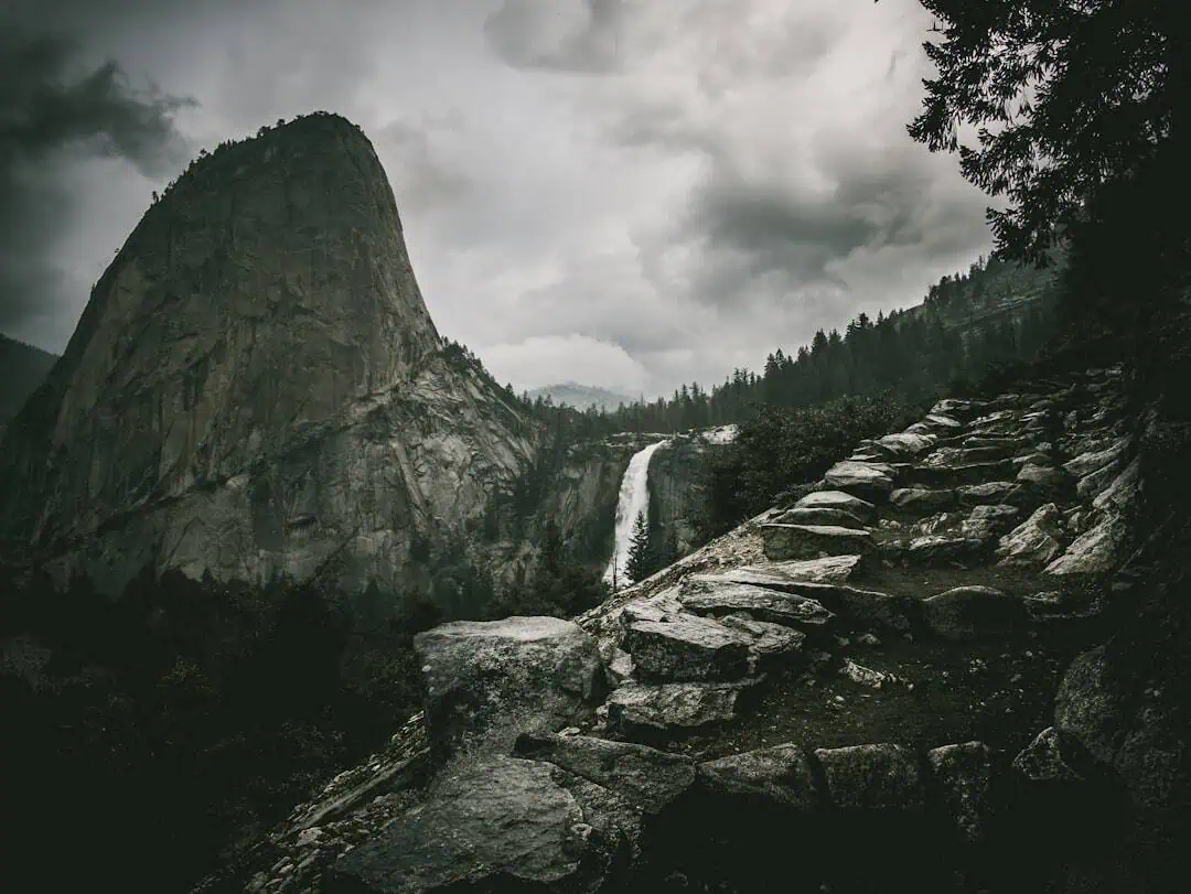
North Santiam State Recreation Area
10 miles away
Cascade View Trail System
24.6 miles away · 4.4 ★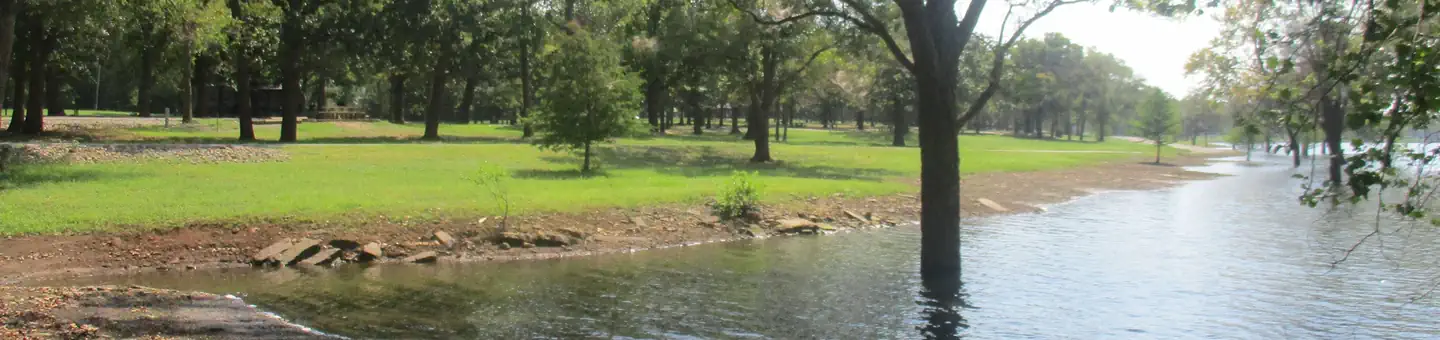
Fort Rock Cave (near Fort Rock State Natural Area)
24.8 miles away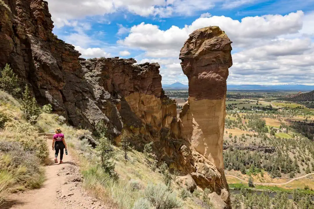
Tumalo State Park
25.4 miles away
Cline Falls State Scenic Viewpoint
27.4 miles away
Deschutes National Forest
27.6 miles away · 4.8 ★
Steelhead Falls Trail
27.6 miles away · 4.7 ★
Trout Creek Trail
28.2 miles away · 4.6 ★
West Cascades Scenic Byway
29.3 miles away · 4.6 ★
