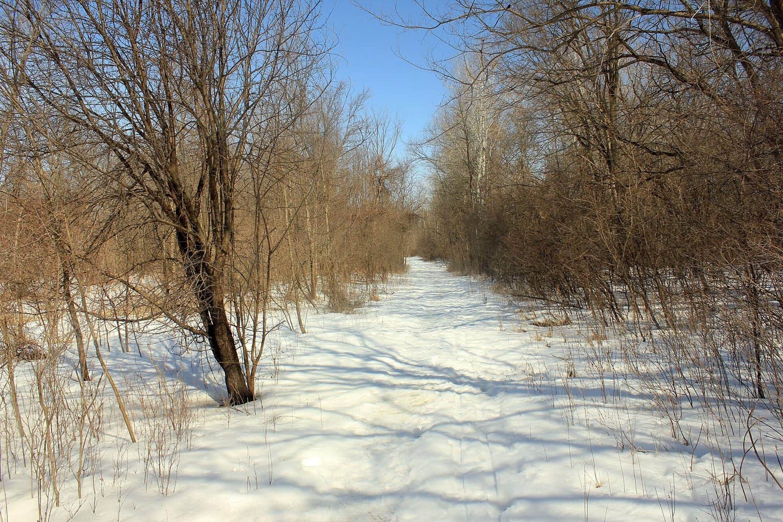
Luce Line State Trail stretches roughly 63 miles across central Minnesota, following the former Electric Short Line Railroad corridor from the western suburbs of Minneapolis to the small town of Cosmos. This rail-trail is one of the state’s most versatile recreational corridors, offering a distinctly different experience as it transitions from suburban greenway to open prairie.
The eastern section, from Plymouth to Winsted, features a paved surface ideal for cycling, inline skating, and wheelchair access. West of Winsted, the trail shifts to a natural crushed-limestone and grass surface that appeals to horseback riders, mountain bikers, and hikers seeking a more rugged feel. This east-to-west progression mirrors Minnesota’s own landscape shift — from wooded lakeland to the wide-open agricultural prairie that defined the state’s western frontier.
Birdwatching is excellent along the trail, particularly near the wetland areas around Stubbs Bay and the prairie stretches west of Silver Lake. Spring and fall migrations bring warblers, hawks, and shorebirds in impressive numbers. Wildflower displays peak in June and July along the prairie segments.
The trail passes through several small towns — Watertown, Winsted, Silver Lake, and Hutchinson among them — where you can refuel at local cafes and explore Main Street shops. No designated camping exists directly on the trail, but nearby state forests and private campgrounds provide overnight options.
The best months to visit are May through October. Summer offers the fullest experience, while autumn transforms the eastern wooded stretches into a corridor of gold and crimson.
Explore Nearby
- Superior National Forest — National Forest in Minnesota
- Chippewa National Forest — National Forest in Minnesota
- Minnesota Scenic Byways — Scenic Byway in Minnesota
- Paul Bunyan Scenic Byway — Scenic Byway in Minnesota
- The Arches Covered Bridge — Covered Bridge in Minnesota