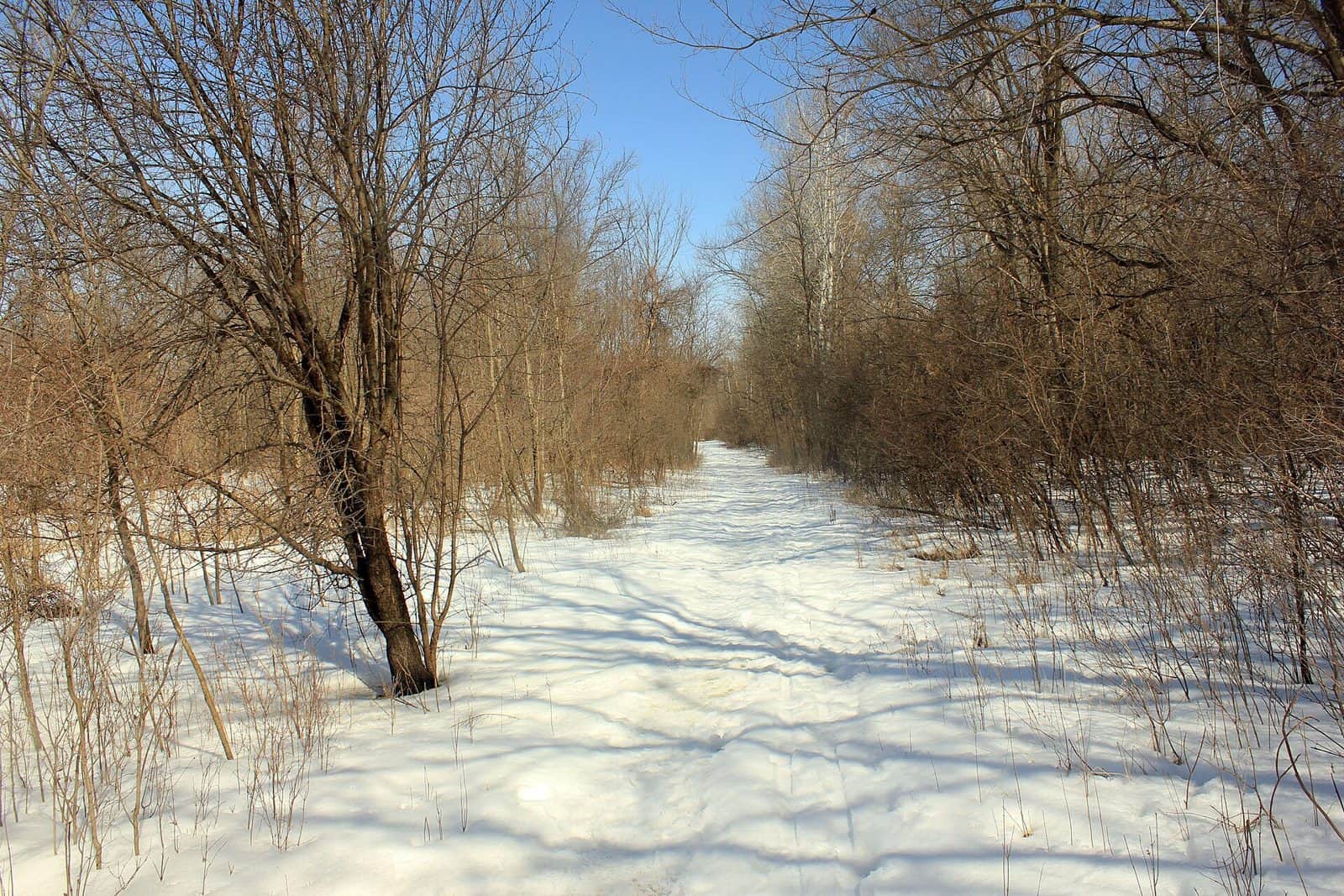
Minnesota Valley State Trail follows the winding path of the Minnesota River through one of the most surprising stretches of wilderness in the Twin Cities metro area. Spanning roughly 39 miles between Belle Plaine and Le Sueur, this trail threads through river bottomlands, blufftop prairies, and dense floodplain forests that feel worlds away from the nearby suburbs.
What makes this trail special is the contrast. Within minutes of leaving residential neighborhoods, you’re surrounded by towering cottonwoods, wetlands teeming with herons and egrets, and sweeping valley views that reveal the ancient glacial river channel carved during the last ice age. The Minnesota River valley is one of the state’s most important wildlife corridors, and the trail puts you right in the middle of it.
Hikers and mountain bikers share much of the route, with dedicated segments for horseback riding and snowmobiling in winter. Birdwatching is exceptional here — the river bottoms attract bald eagles, pelicans, and migrating waterfowl by the thousands during spring and fall. Cross-country skiing and fat biking keep the trail active through Minnesota’s long winters.
Spring brings dramatic flooding that reshapes the bottomlands, making late spring through early fall the most reliable window for trail access. Fall color along the river bluffs is outstanding and far less crowded than North Shore destinations.
Expect muddy conditions after rain, especially on lower sections near the river. Bring insect repellent in summer — the river bottoms earn their reputation. Trail surfaces vary from paved to natural, so check current conditions before heading out.
Explore Nearby
- Superior National Forest — National Forest in Minnesota
- Chippewa National Forest — National Forest in Minnesota
- Minnesota Scenic Byways — Scenic Byway in Minnesota
- Paul Bunyan Scenic Byway — Scenic Byway in Minnesota
- The Arches Covered Bridge — Covered Bridge in Minnesota