Stretching across six counties along the Minnesota River, Minnesota Valley State Recreation Area protects over 6,400 acres of river bottomlands, bluffs, and prairie remnants in the heart of southern Minnesota. What makes this park remarkable is its sheer reach—the recreation area spans roughly 75 miles of river corridor from Le Sueur County to the edge of the Twin Cities metro, making it one of the longest linear parks in the state.
The landscape shifts dramatically as you move through the park. Towering cottonwood floodplain forests give way to oak savannas and restored tallgrass prairies along the valley’s upper bluffs. This diversity supports excellent wildlife viewing—white-tailed deer, bald eagles, great blue herons, and wild turkeys are common sights, and the river corridor serves as a major migratory flyway each spring and fall.
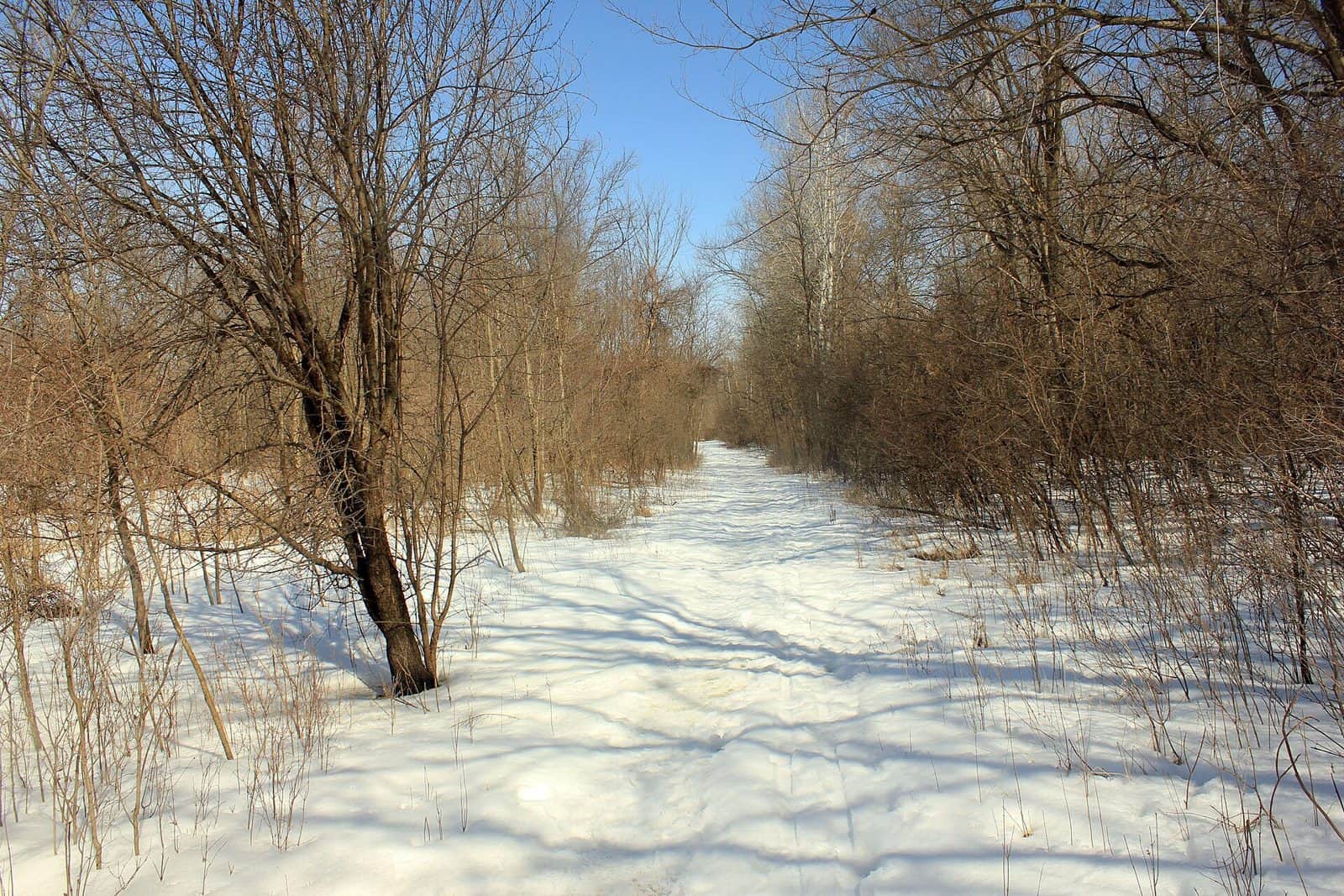
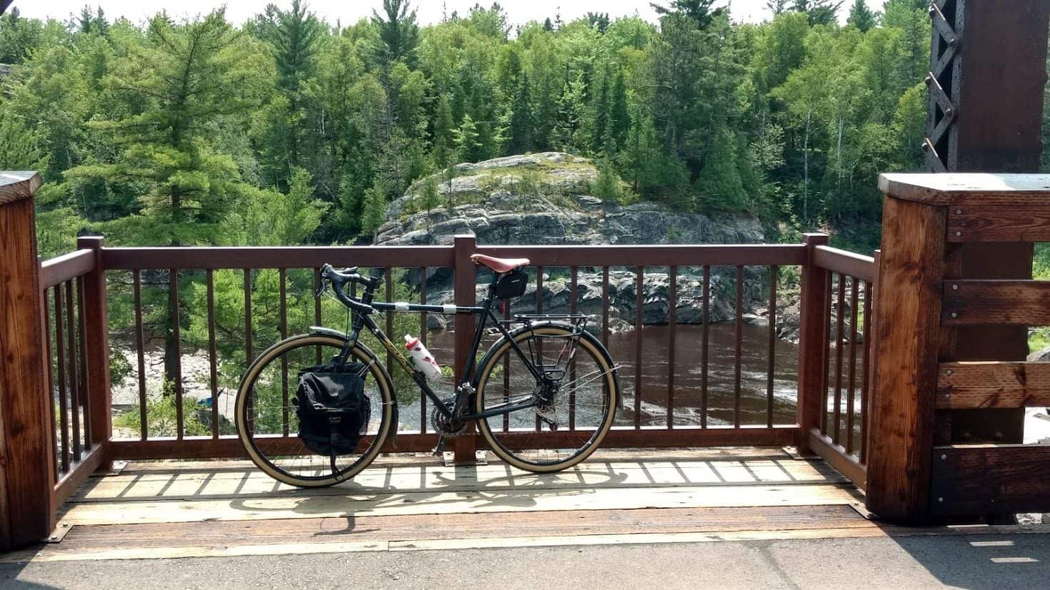
Hiking trails wind through wooded bottomlands and climb to bluff-top overlooks with sweeping views of the Minnesota River valley. Horseback riding is popular on designated trails, and the river itself draws anglers targeting walleye, northern pike, and channel catfish. In winter, cross-country skiing and snowmobiling take over the trail system.
Fall is arguably the best season to visit, when the river bluffs light up with color and the crowds thin out. Spring brings wildflower blooms and peak bird migration, though trails in the bottomlands can be muddy after snowmelt.
With multiple access points spread across its corridor, Minnesota Valley rewards repeat visits—each unit offers a different slice of the river valley experience.
Explore Nearby
- Superior National Forest — National Forest in Minnesota
- Chippewa National Forest — National Forest in Minnesota
- Minnesota Scenic Byways — Scenic Byway in Minnesota
- Paul Bunyan Scenic Byway — Scenic Byway in Minnesota
- The Arches Covered Bridge — Covered Bridge in Minnesota