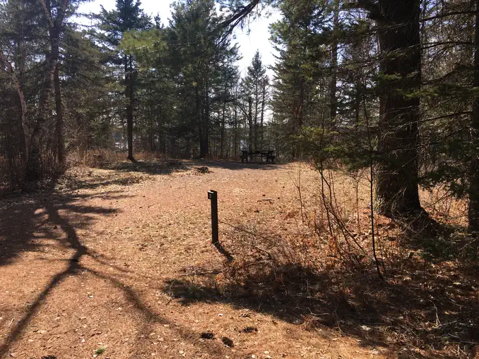
Spanning 2.1 million acres across Minnesota’s Arrowhead Region, Superior National Forest protects one of the most pristine wilderness areas in the lower 48 states. Established in 1909, this forest shares its northern boundary with Canada and stretches south toward the rugged north shore of Lake Superior, encompassing thousands of lakes, streams, and waterways that once served as vital routes for fur traders exploring the Boundary Waters region.
The forest contains a significant section of the 4,800-mile North Country National Scenic Trail, running from near Burntside Lake by Ely to just south of Temperance River State Park. Paddlers and boaters find exceptional opportunities on the countless interconnected lakes, while anglers pursue walleye, northern pike, and smallmouth bass in these clear northern waters.
Twenty-one developed campgrounds provide varied basecamp options. South Kawishiwi River and Fenske Lake campgrounds offer excellent access to canoe routes, while Flour Lake and Pfeiffer Lake provide quieter settings for families. Cadotte Lake serves as a solid choice for those seeking fishing-focused trips.
Summer months from June through August deliver warm days ideal for hiking, camping, and water activities, though mosquitoes and blackflies are persistent companions. September brings spectacular fall color with fewer crowds and cooler temperatures. Winter transforms the forest into a destination for cross-country skiing and snowshoeing, though many roads and facilities close seasonally.
Access points are scattered throughout the forest, with the town of Ely serving as a primary gateway. Most campgrounds operate from mid-May through September, with reservations recommended during peak summer months.
Explore Nearby
- Boundary Waters Canoe Area Wilderness — Dark Sky Site in Minnesota
- Central Lakes State Trail — State Park in Minnesota
- Bear Head Lake State Park — State Park in Minnesota
- Lake Vermilion Public Islands — Public Land in Minnesota
- Split Rock Lighthouse — Lighthouse in Minnesota