Bald Mountain rises from the forested landscape of Franklin County, Maine, offering one of the region’s most rewarding short hikes. Spanning 1,873 acres of state parkland, this granite summit delivers panoramic views of Rangeley Lake and the surrounding Appalachian peaks — a vista that feels earned without requiring an all-day commitment.
The trail to the summit covers roughly two miles round-trip, making it accessible for families and casual hikers while still providing enough elevation gain to get the heart pumping. At the top, exposed ledges open up to sweeping views in nearly every direction — Mooselookmeguntic Lake to the west, Saddleback Mountain to the east, and on clear days, the peaks of New Hampshire’s White Mountains on the horizon.
Beyond hiking, the surrounding area supports berry picking in late summer (wild blueberries carpet the upper slopes in August), birding, and wildlife observation. Moose sightings are common in the early morning hours along nearby logging roads.
The best time to visit is late September through mid-October, when the hardwood forests below the summit ignite with fall color — the contrast of orange and crimson against the dark spruce is striking from above. Summer months bring warm days ideal for combining a morning hike with an afternoon on Rangeley Lake.
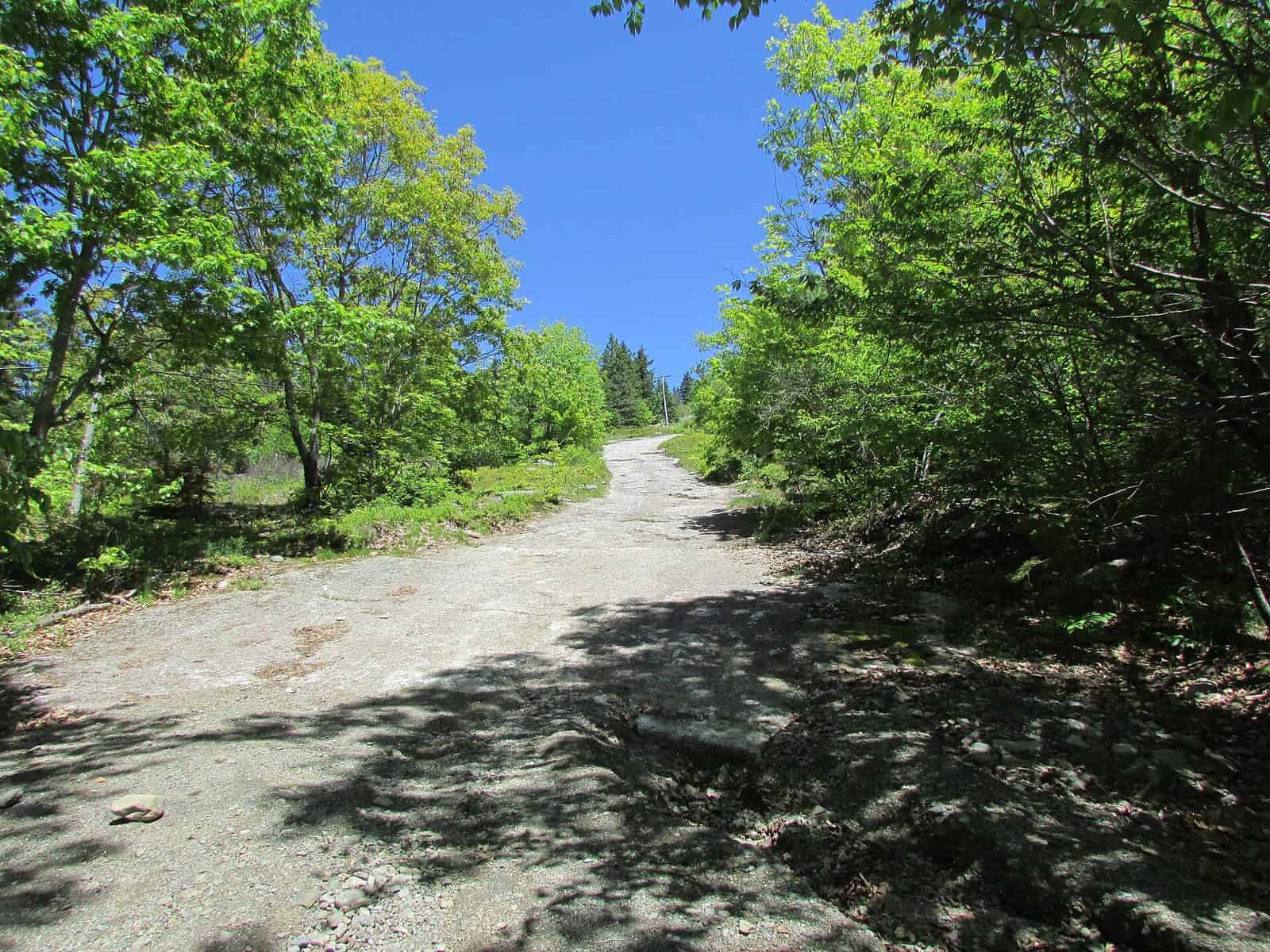
Come prepared with layers; the exposed summit can be significantly windier and cooler than the trailhead. Sturdy footwear is recommended, as the upper trail crosses root-laced granite sections that can be slippery when wet.
Explore Nearby
- Pisgah National Forest — National Forest in North Carolina
- Pisgah Loop Scenic Byway — Scenic Byway in North Carolina
- Bible Bridge — Covered Bridge in Tennessee
- Elizabethton Covered Bridge — Covered Bridge in Tennessee
- Mayland Community College Dark Sky Community — Dark Sky Site in North Carolina