
Keysville Special Recreation Management Area
EMERGENCY CLOSURE 01/25/2023
Keysville Beach Road and Keysville Beach have been closed until further notice due to serious erosion along the road. The affected area is Keysville Beach and Keysville Beach Road. The rest of the SRMA remains open.
Overview
Keysville (formerly Keyesville) is a historic mining area that offers a wide variety of recreational opportunities. Set in rolling terrain amidst a blue oak and foothill pine woodland, Keysville is dissected by the lower Kern River. A little exploration can turn up a wealth of historic resources, including a variety of mining structures and features, a historic fort, and the famous Walker Cabin. Keysville offers commercial and noncommercial white-water rafting opportunities as well as fishing, recreational gold panning, and dispersed camping. A network of over seventy miles of trails provides for mountain biking, equestrian, and motorized recreation use.
All motorized use is limited to designated roads and trails. For a map of Keysville area designated routes, see https://www.blm.gov/documents/california/public-room/map/keysville-recreation-management-area.
Attention: Swimming in the area is discouraged. Use extreme caution around the river’s edge and ALWAYS use a life jacket when boating.
Last Updated 1/30/2023
Explore Nearby
- Lake Isabella — State Park in Washington
- Sequoia National Forest — National Forest in California
- Tomo-Kahni State Historic Park — State Park in California
- Indian Canyon Scenic Byway — Scenic Byway in Utah
- Angeles National Forest — National Forest in California
Nearby Discoveries
8 places to explore within 30 miles
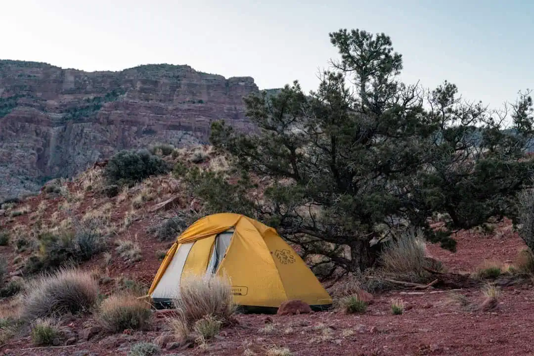
Bright Star Wilderness
17.7 miles away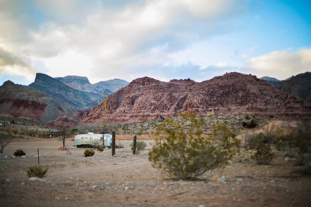
Kiavah Wilderness
21.8 miles away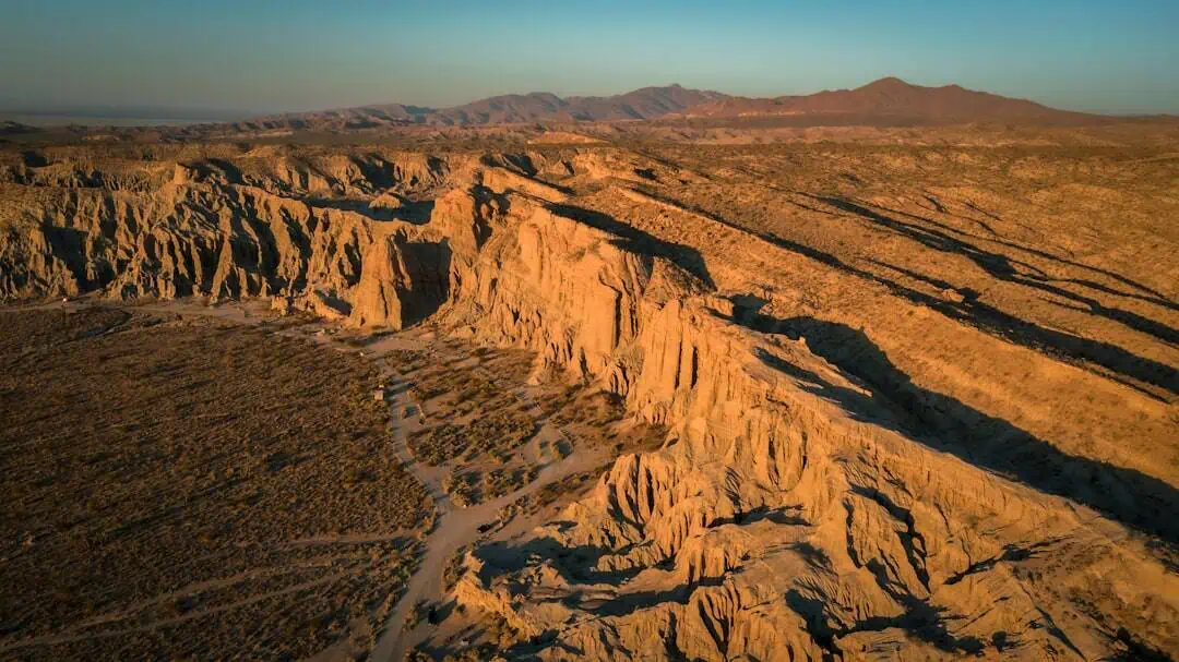
Kiavah Wilderness
21.8 miles away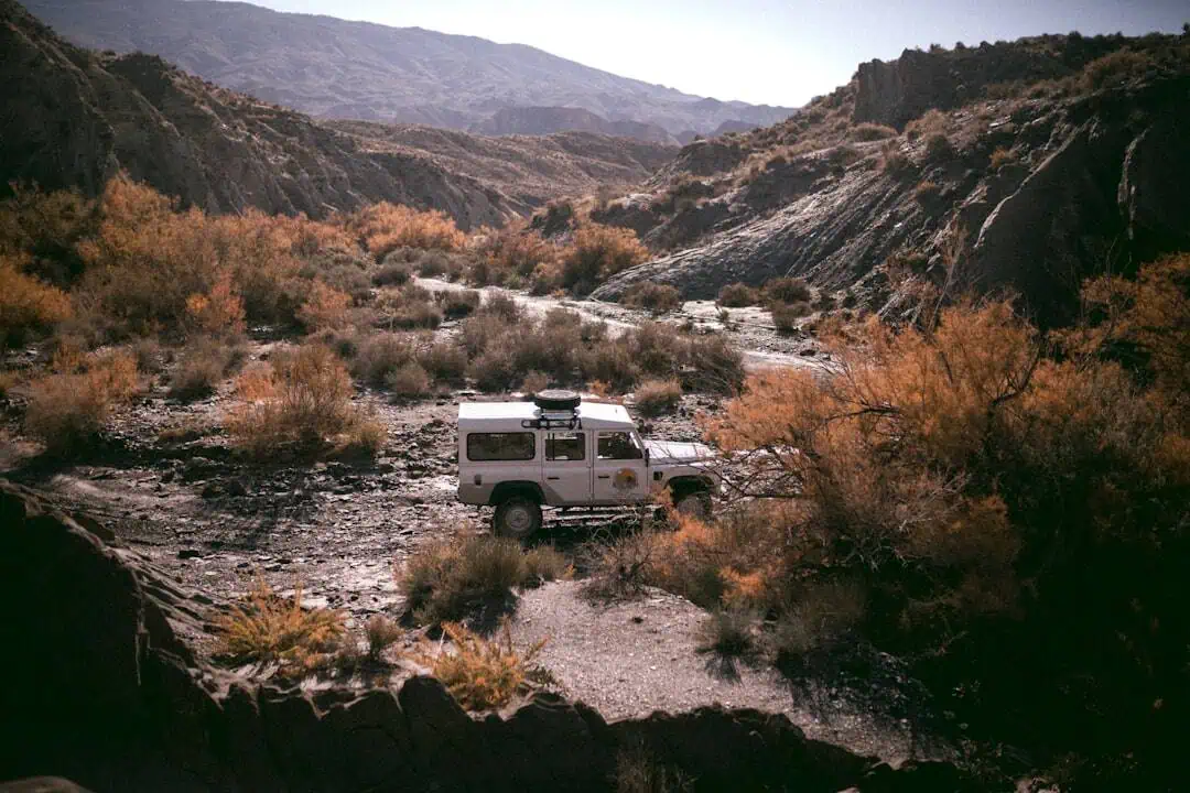
Domeland Wilderness
21.9 miles away
Chimney Peak Recreation Area
26.2 miles away
Sequoia National Forest
27.1 miles away · 4.8 ★
Chimney Peak Wilderness
27.6 miles away · 4.9 ★
