
Indian Canyon Scenic Byway
Utah
Wind through one of Utah’s most dramatic canyon corridors on the Indian Canyon Scenic Byway, a state-designated scenic route that carves through the Tavaputs Plateau between Helper and Duchesne. This drive reveals a stunning transition from the high desert of the Wasatch Plateau into the Uinta Basin, passing through layers of geological history etched into towering canyon walls.
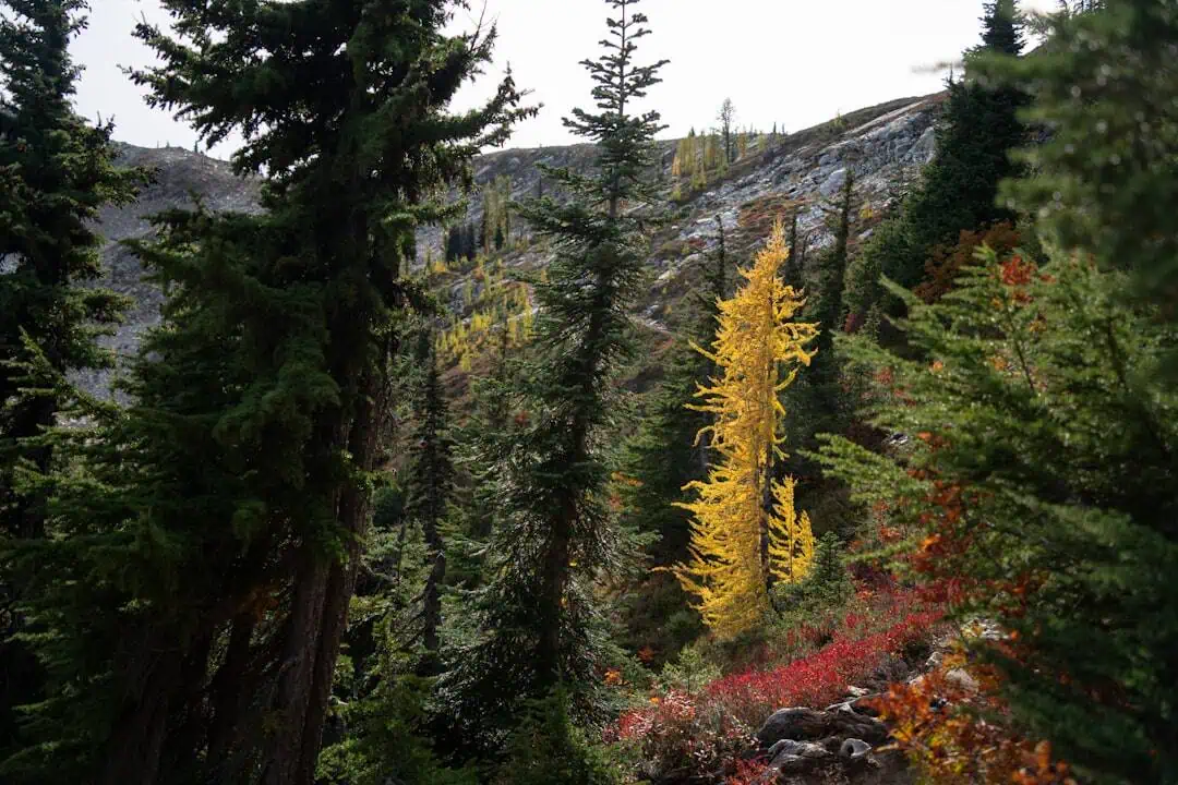
Travelers will encounter sweeping vistas of red-rock formations, dense stands of aspen and pine forest, and deep V-shaped canyons where Indian Creek has cut through ancient sandstone over millennia. Watch for mule deer, elk, and raptors soaring above the ridgelines. The route climbs to over 9,000 feet at Indian Canyon Pass, offering panoramic views that stretch across the rugged Utah backcountry.
Key stops include the Indian Canyon Rest Area and several pullouts where you can photograph the layered cliff faces and seasonal wildflower meadows. The byway connects to the broader network of Uinta Basin attractions, including Starvation State Park and the Nine Mile Canyon area.
The best time to drive is late spring through early fall, when the pass is clear and autumn aspens paint the hillsides gold. Allow one to two hours to enjoy the journey at a leisurely pace.
Explore Nearby
- Case Mountain Extensive Recreation Management Area — Public Land
- Inyo National Forest — National Forest in California, Nevada
- Wallace Creek — Public Land in California
- Sierra National Forest — National Forest in California
- Lone Pine State Park — State Park in Montana
Photos

Nearby Discoveries
12 places to explore within 30 miles
Edge of the Cedars State Park Museum
8.9 miles away
Montezuma Canyon
9.5 miles away
Three Kiva Pueblo
11.2 miles away · 4.9 ★
Butler Wash Ruins
19.9 miles away · 4.6 ★
Cross Canyon Wilderness Study Area
22 miles away
South Mule Canyon
22.1 miles away · 5.0 ★
Mule Canyon
22.1 miles away · 5.0 ★
North Mule Canyon
23.4 miles away
Lowry Pueblo National Historic Landmark
25.3 miles away · 4.7 ★
Salvation Knoll
27.1 miles away · 4.6 ★
Hovenweep National Monument Dark Sky Park
27.1 miles away · 4.8 ★
