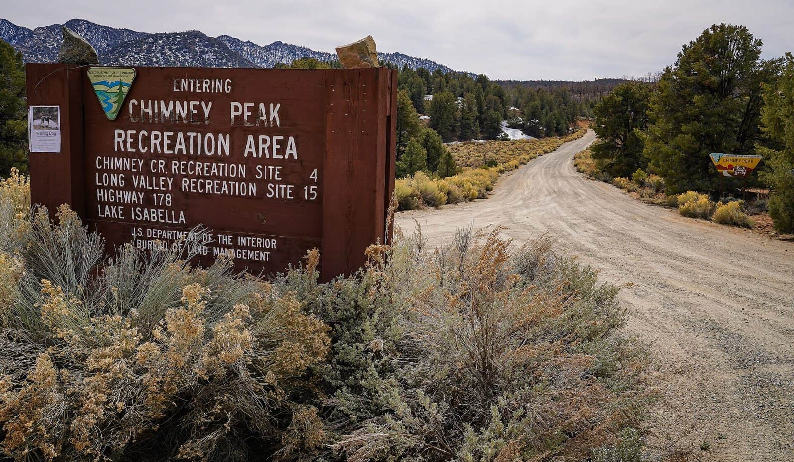
Domeland Wilderness (BLM addition) is adjacent to the Sequoia National Forest portion of the original Domelands Wilderness and consists of pinyon-covered mountains along the eastern side of the Kern River’s South Fork drainage. A long, narrow, sage-covered valley runs along the eastern edge of the wilderness. Rugged topography, perennial streams, variable terrain, and mixed vegetation offer outstanding opportunities for solitude and unconfined recreation. Hiking and horseback riding trails offer spectacular routes through this pristine wilderness.
Signs indicating “Wilderness” and “Closed Road” or “Closed Route” are placed at various intervals. Vehicles can be parked outside the wilderness boundary; however, the boundary is set back 30 feet from unmaintained dirt roads and 300 feet on paved roads.
Mechanized or motorized vehicles are not permitted.
Hunting, fishing, and non-commercial trapping are allowed under state and local laws.
Explore Nearby
- Zmudowski State Beach — State Park in California
- Woodson Bridge State Recreation Area — State Park in California
- Tahoe National Forest — National Forest in California
- Stanislaus National Forest — National Forest in California
- Volcanic Legacy Scenic Byway — Scenic Byway in California