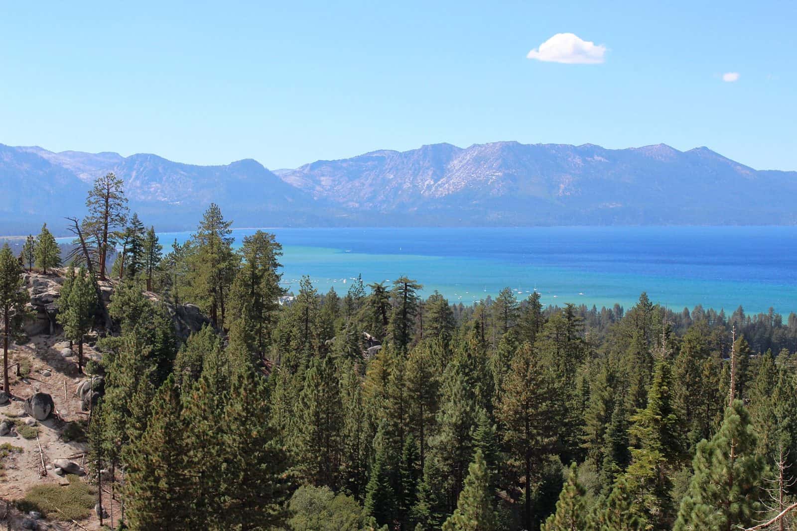
Spanning nearly 700,000 acres across the central Sierra Nevada, Eldorado National Forest rises from oak-studded foothills to granite peaks exceeding 10,000 feet in elevation. Established in 1910, this protected landscape stretches from California into a small section of Nevada, with most of its terrain concentrated in El Dorado County.
The forest’s diverse elevation—ranging from 1,000 to over 10,000 feet—creates distinct ecological zones within a single day’s drive. Lower elevations feature black oak woodlands and ponderosa pine, while higher reaches transition to red fir forests and alpine meadows dotted with wildflowers through midsummer.
Hikers can access the Desolation Wilderness, a 63,960-acre backcountry area featuring glacially carved granite basins and over 130 alpine lakes. The Mokelumne Wilderness along the forest’s southern boundary offers more solitude and rugged volcanic terrain.
With 67 developed campgrounds scattered throughout the forest, options range from roadside sites like China Flat to more remote locations at Kirkwood Lake. Silver Fork, Sugar Pine Point, and Pardoes Point provide established amenities for families and first-time campers. Anglers will find productive waters in the American River’s tributaries and numerous high-country lakes stocked with trout.
Placerville, the nearest major town, sits along Highway 50—the primary corridor into the forest from Sacramento, about 45 miles west. Most campgrounds and high-elevation trails open by late May and remain accessible through October, though snow can linger at higher elevations into July.
Explore Nearby
- Bridal Veil Falls State Scenic Viewpoint — State Park in Oregon
- Mystery Bay State Park — State Park in Washington
- Rubicon Point Light — Lighthouse in California
- Sugar Pine Point Light — Lighthouse in California
- Faye-Luther Trail System — Public Land in Nevada