
Sandy Creek Covered Bridge State Historic Site
Missouri (Jefferson County)
About This Park
The Bennett Peak Campground is in a scenic setting near the North Platte River, which makes it great for fishing and floating. The campground has 11 campsites, vault toilet, hand pump well, boat ramp, day use parking, and bank fishing accessible to persons with disabilities. Each campsite features a picnic table, fire ring/grill, sandy tent pad, and parking space. No pull-throughs please. Horses are not allowed in the campground. This riparian area boasts cottonwoods, ponderosa pine, Douglas fir
Tucked into the rolling hills of Jefferson County, Sandy Creek Covered Bridge State Historic Site preserves one of only four remaining covered bridges in Missouri. Built in 1872, the bridge spans 76 feet across Sandy Creek using a Howe truss design — a testament to 19th-century engineering that has weathered more than 150 years of Ozark seasons. The bridge is listed on the National Register of Historic Places, making this 206-acre site a genuine piece of Missouri history you can walk through, not just read about.
Beyond the bridge itself, the site offers easy hiking trails that wind through bottomland forest along Sandy Creek. The landscape is lush and shaded in summer, golden in autumn, and peaceful year-round. Birdwatchers will find plenty to spot along the creek corridor, and photographers will want to arrive during golden hour when light filters through the bridge’s wooden lattice.
Camping is not available at this site, but nearby options abound — Washington State Park and Hawn State Park are both within a short drive and offer full campground facilities. Sandy Creek works best as a half-day visit or a stop on a longer Jefferson County road trip.
The best time to visit is mid-October through early November, when fall color transforms the surrounding hardwoods into a stunning backdrop for the weathered red bridge. Spring is equally rewarding, with wildflowers lining the creek banks. Summer visits are pleasant but bring mosquitoes — pack repellent.
Explore Nearby
- North Platte River — Public Land in Wyoming
- Encampment River Canyon — Public Land in Wyoming
- Medicine Bow–Routt National Forest — National Forest in Colorado, Wyoming
- Cache la Poudre-North Park Scenic Byway — Scenic Byway in Colorado
- Roosevelt National Forest — National Forest in Colorado
Photos

Nearby Discoveries
12 places to explore within 30 miles

Sandy Creek Covered Bridge
0.4 miles away
Gov. Daniel Dunklin’s Grave State Historic Site
8.1 miles away
Mastodon State Historic Site
9.9 miles away
Don Robinson State Park
11.4 miles away
Route 66 State Park
15.7 miles away
Washington State Park
16.6 miles away
Robertsville State Park
18.1 miles away
Castlewood State Park
18.3 miles away
Illinois Caverns State Natural Area
21.4 miles away · 4.7 ★
St. Francois State Park
21.8 miles away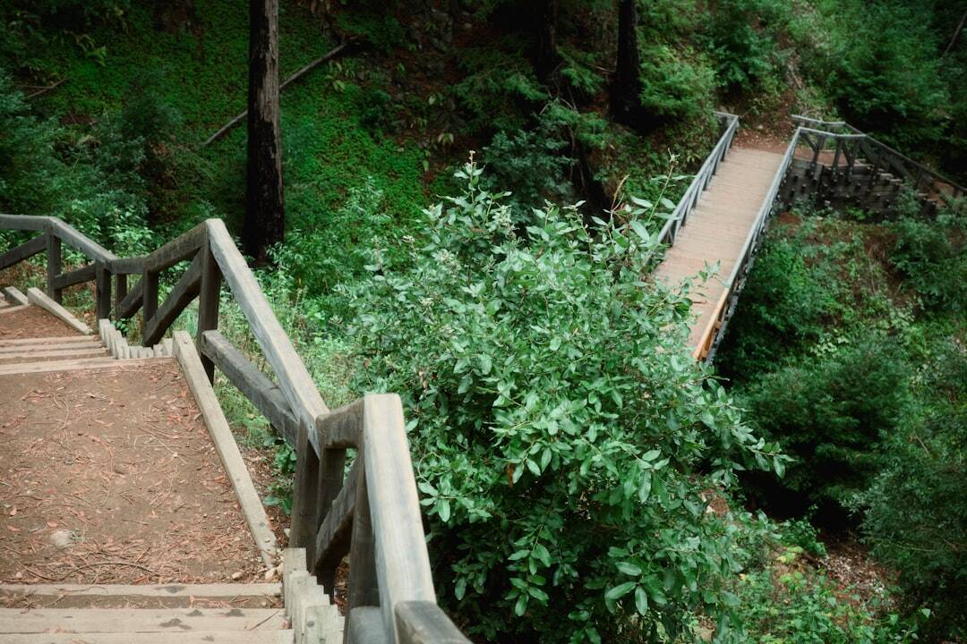
Babler State Park
24.8 miles away
