
Norwottuck Rail Trail
Massachusetts (Hampshire County)
Norwottuck Rail Trail follows a 10-mile paved path through the heart of Hampshire County, connecting the college towns of Northampton, Hadley, and Amherst along a converted former railroad corridor. The trail crosses the Connecticut River floodplain on a striking half-mile bridge, offering wide-open views of the Pioneer Valley and the Holyoke Range that make this stretch one of the most photographed in western Massachusetts.
The flat, smooth surface makes Norwottuck accessible to just about everyone — cyclists, joggers, walkers, families with strollers, and inline skaters all share the path. In winter, cross-country skiers and snowshoers take over when conditions allow. The trail passes through farmland, wetlands, and wooded sections, giving you a surprisingly varied landscape for such a short distance. Birdwatchers will find great opportunities in the marshy areas near the Hadley section, where herons and red-winged blackbirds are common spring through fall.
Camping is not available directly on the trail, but nearby DAR State Forest and Erving State Forest offer sites within a reasonable drive. The trail connects to local bike networks and downtown areas in both Northampton and Amherst, so you can easily combine a ride with lunch, coffee, or browsing independent shops at either end.
The best time to visit is mid-September through late October, when the Pioneer Valley’s fall foliage is at its peak and the trail becomes a tunnel of color. Spring and summer are excellent for cycling, though weekends can get busy near the trailheads. Parking is available at several access points along the route.
Explore Nearby
- Burkeville Covered Bridge — Covered Bridge in Massachusetts
- Ware-Hardwick Covered Bridge — Covered Bridge in Massachusetts
- Connecticut State Route 169 — Scenic Byway in Connecticut
- Connecticut River Byway — Scenic Byway in Massachusetts
- Green Mountain National Forest — National Forest in Vermont
Photos

Nearby Discoveries
12 places to explore within 30 miles

Mount Holyoke Range State Park
3.5 miles away
Connecticut River Greenway State Park
3.9 miles away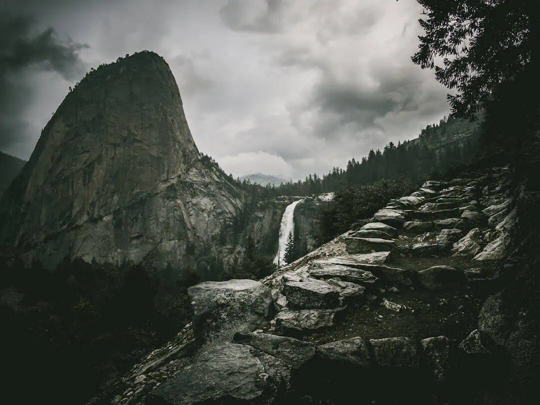
J.A. Skinner State Park
4.1 miles away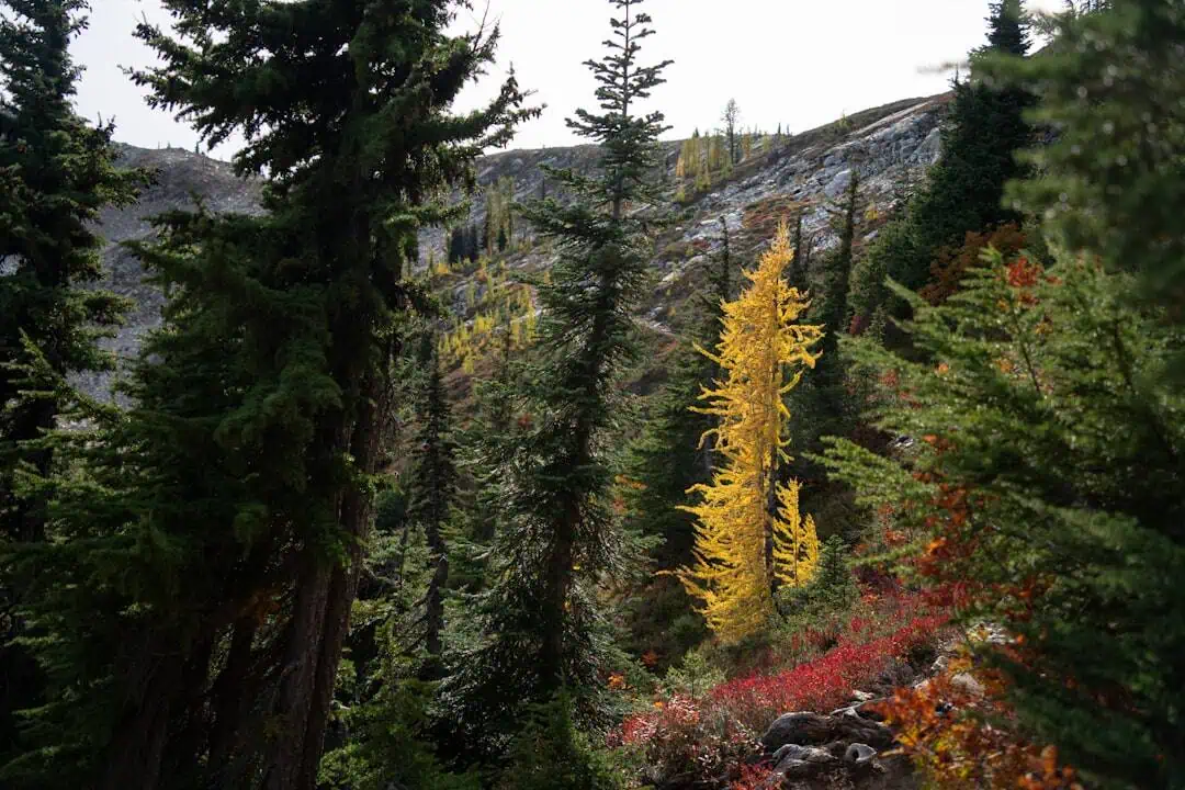
Mount Tom State Reservation
7 miles away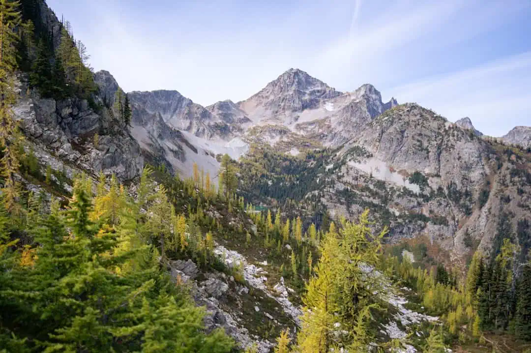
Mount Sugarloaf State Reservation
9 miles away
Holyoke Heritage State Park
10.7 miles away
Lake Wyola State Park
12.1 miles away
Burkeville Covered Bridge
12.2 miles away
Quabbin Reservoir
12.3 miles away
Hampton Ponds State Park
14.1 miles away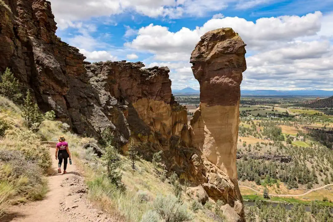
Lake Lorraine State Park
14.6 miles away
