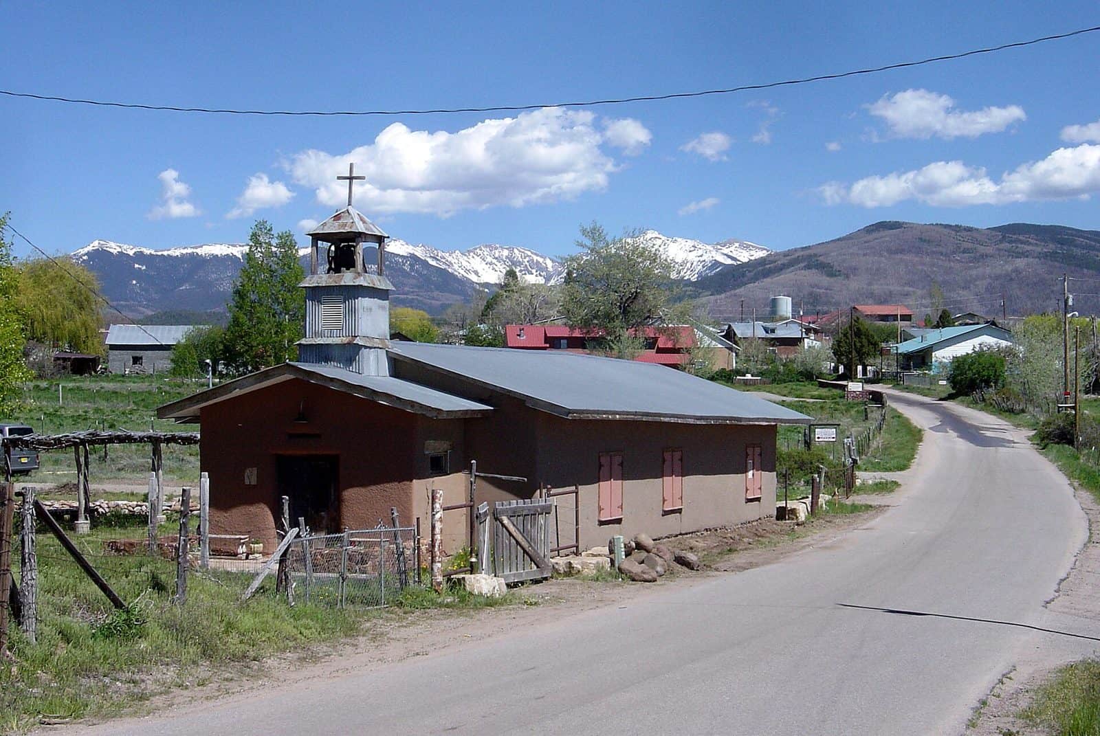
Spanning 1.5 million acres across northern New Mexico’s Jemez and Sangre de Cristo mountain ranges, Santa Fe National Forest offers dramatic elevation changes from 5,300 feet to 13,103 feet at Truchas Peak—the second-highest point in the state. Established in 1915, this forest provides a striking landscape of alpine meadows, ponderosa pine forests, and high-desert terrain just minutes from downtown Santa Fe.
The Pecos Wilderness anchors the eastern portion of the forest, featuring Truchas Peak and over 200 miles of backcountry trails. Hikers can access alpine lakes, rushing streams, and mountain vistas that rival anywhere in the Rockies. The western Jemez Mountains district draws visitors to Jemez Falls, natural hot springs, and volcanic formations shaped by ancient calderas.
Anglers find excellent trout fishing in the Pecos River and numerous mountain streams. The forest maintains 17 developed campgrounds, including Clear Creek Group Campground for larger parties, Vista Linda for accessible sites, and Jemez Falls Picnic Area near one of the forest’s most photographed waterfalls.
Peak hiking season runs June through October, with wildflower displays in July and golden aspen groves in late September. Winter brings cross-country skiing and snowshoeing at higher elevations. Summer monsoon rains typically arrive in July and August—plan morning activities to avoid afternoon thunderstorms.
Access is straightforward: Highway 475 climbs into the Sangre de Cristo range directly from Santa Fe, while Highway 4 provides a scenic route through the Jemez district from Albuquerque. Most trailheads require a day-use parking pass, available at ranger stations in Santa Fe, Pecos, and Jemez Springs.
Explore Nearby
- Rio Chama Wild and Scenic River — Public Land in New Mexico
- Posi-Ouinge — Public Land in New Mexico
- Jemez Mountain Trail National Scenic Byway — Scenic Byway in New Mexico
- Jemez Mountain Trail — Scenic Byway in New Mexico
- Valles Caldera National Preserve Dark Sky Reserve — Dark Sky Site in New Mexico