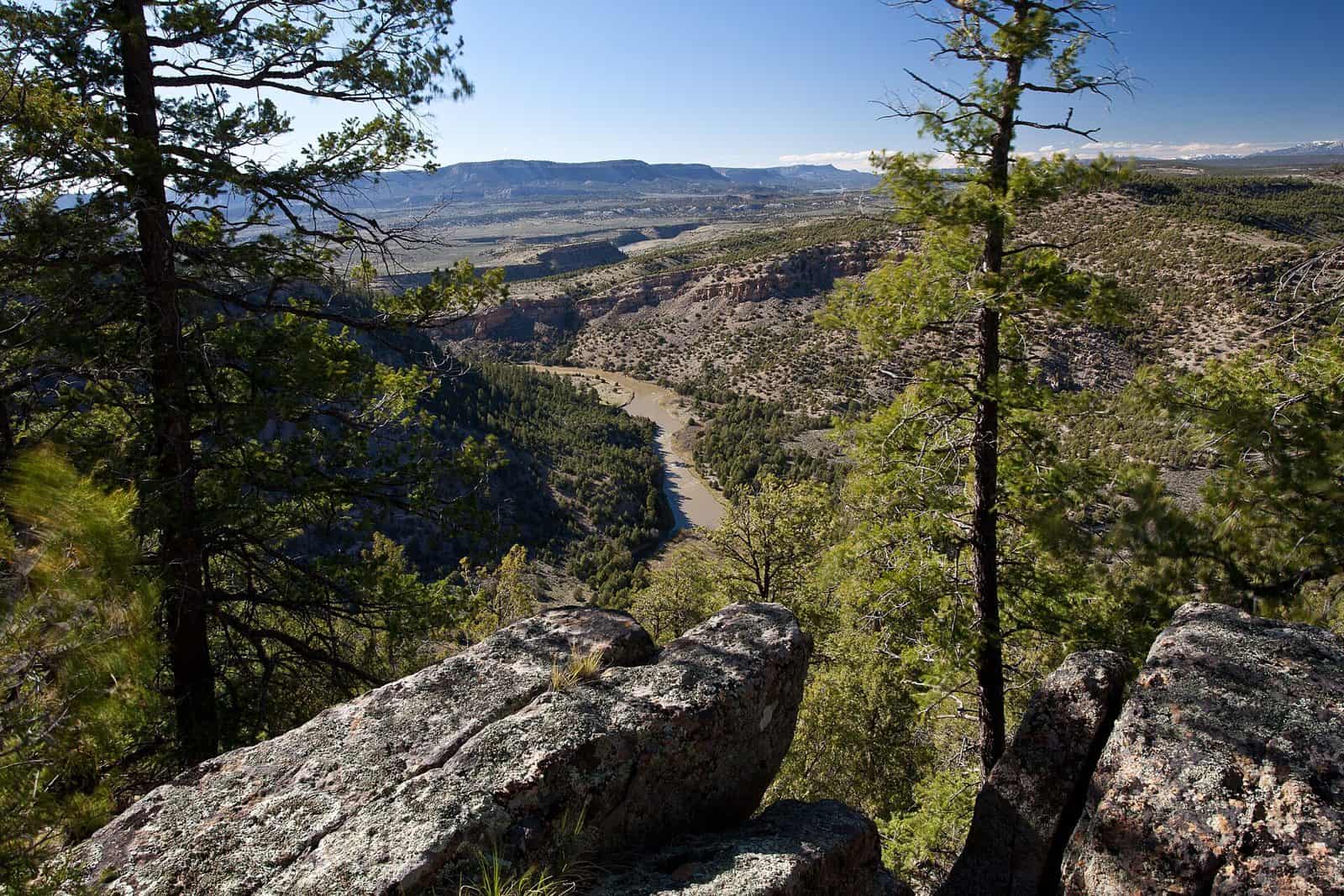
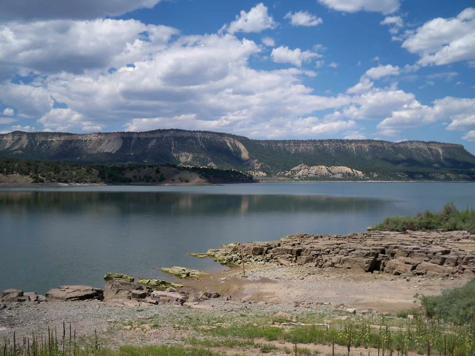
Spanning 1.5 million acres across northern New Mexico, Carson National Forest offers rugged mountain terrain, alpine lakes, and high desert landscapes just minutes from the art colony town of Taos. Established in 1908, this forest encompasses four distinct sections managed by six ranger districts, creating diverse ecosystems ranging from piñon-juniper woodlands to spruce-fir forests above 10,000 feet.
The forest’s 600 miles of hiking trails wind through Wheeler Peak Wilderness—home to New Mexico’s highest point at 13,167 feet—and the pristine Latir Peak and Cruces Basin wilderness areas. Rock climbers head to El Rito Crags for quality routes on volcanic tuff, while anglers find native Rio Grande cutthroat trout in mountain streams and stocked rainbow trout at spots like Hopewell Lake.
Winter transforms Carson into a snow sports destination. Cross-country skiers explore groomed and backcountry trails, and the forest borders Taos Ski Valley, one of the Southwest’s most challenging downhill resorts. Wildlife viewers may spot elk, black bears, mule deer, and wild turkeys throughout the year.
Sixteen developed campgrounds provide base camps for exploration, including Fawn Lakes, Columbine, and Elephant Rock—most open from late May through September depending on elevation and snowpack. The forest draws nearly one million visitors annually, with summer and fall offering the most reliable access to high-country trails.
Primary access points are found along US Highway 64 and State Route 38, both easily reached from Taos, located at the forest’s southern boundary.
Explore Nearby
- Posi-Ouinge — Public Land in New Mexico
- Rio Chama Wild and Scenic River — Public Land in New Mexico
- Heron Lake State Park — State Park in New Mexico
- El Vado Lake State Park — State Park in New Mexico
- La Frontera Del Llano — Scenic Byway in New Mexico