
Whitewater Canal Scenic Byway
Indiana
430.0 miles
Winding through southeastern Indiana’s rolling hills and historic river valleys, the Whitewater Canal Scenic Byway offers a captivating 430-mile journey through one of America’s best-preserved canal heritage corridors. This National Scenic Byway traces the path of the historic Whitewater Canal, which once connected the Ohio River to the heart of Indiana’s frontier.
Travelers will discover charming 19th-century canal towns like Metamora, where horse-drawn canal boats still glide through working locks—a living museum of early American engineering. The route passes through Lawrenceburg’s Ohio River waterfront, Batesville’s Germanic architecture, and the pastoral farmlands that define Indiana’s countryside.
Expect sweeping views of the Whitewater River valley, covered bridges tucked into wooded hollows, and countless antique shops and local eateries in villages seemingly untouched by time. Wildlife enthusiasts will spot herons along the waterways and deer grazing in morning meadows.
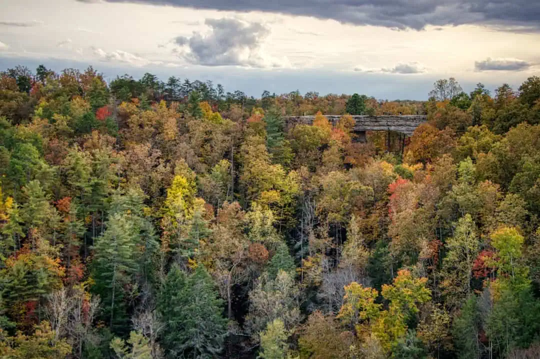
Best time to visit: Late September through mid-October, when autumn foliage transforms the valley into a tapestry of gold and crimson. Spring wildflower season (April–May) offers equally stunning scenery.
Allow: Three to four days to fully explore the loop, stopping at historic sites, hiking trails, and welcoming small-town cafés along the way.
Explore Nearby
- Whitewater Memorial State Park — State Park in Indiana
- Hueston Woods State Park — State Park in Ohio
- Walcott Covered Bridge — Covered Bridge in Kentucky
- Lee’s Creek Covered Bridge — Covered Bridge in Kentucky
- Grand Lake St. Marys Lighthouse(aka: Northwood Light) — Lighthouse in Ohio
Photos

Nearby Discoveries
12 places to explore within 30 miles
South Hill Bridge
9.2 miles away
Stockheughter Bridge
11.8 miles away
Whitewater Memorial State Park
13.8 miles away · 4.6 ★
Longwood Bridge
15.2 miles away
Snow Hill Bridge
16.6 miles away
Norris Ford Bridge
21.1 miles away
Hueston Woods State Park
22 miles away
Guilford Bridge
22.3 miles away
Moscow Bridge
23.4 miles away
Harshman Covered Bridge
25.5 miles away
Versailles State Park
27 miles away
