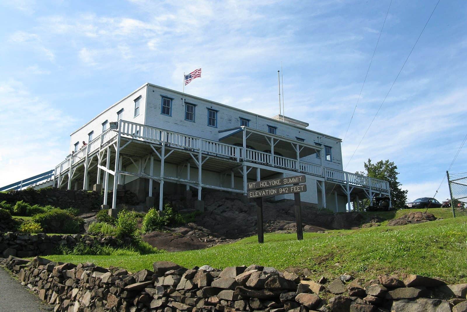
Rising dramatically above the Connecticut River Valley, Mount Tom State Reservation spans nearly 2,000 acres of rugged volcanic ridgeline in Hampden County, Massachusetts. The basalt traprock cliffs — formed by ancient lava flows — create one of the most distinctive landscapes in southern New England, supporting rare plant communities and offering sweeping views that stretch across five states on clear days.
The reservation’s trail network covers over 20 miles, ranging from gentle riverside paths to challenging scrambles along the ridgeline. The Metacomet-Monadnock Trail (now part of the New England National Scenic Trail) traverses the full length of the ridge, rewarding hikers with dramatic cliff-edge overlooks at Goat Peak and Whiting Peak. Birdwatchers flock here during fall raptor migration season, when thousands of hawks, eagles, and falcons ride thermals along the ridge — the Eyrie House site serves as a popular hawk-watching station from September through November.
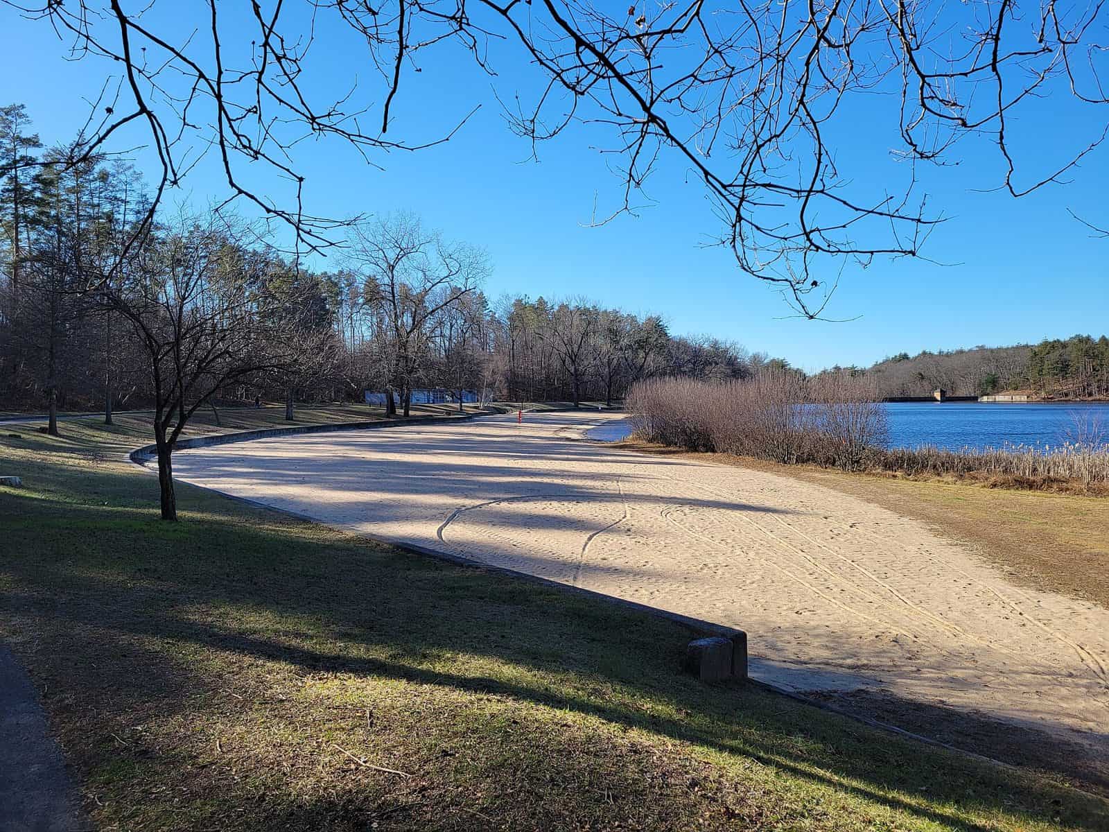
Beyond hiking, visitors enjoy mountain biking on designated trails, cross-country skiing and snowshoeing in winter, and fishing along the Connecticut River shoreline. The reservation’s Lake Bray area provides a quieter spot for picnicking and wildlife observation.
Spring wildflowers on the traprock summit are exceptional, with species rarely found elsewhere in Massachusetts. Fall brings peak foliage views from the ridgeline that rival anywhere in the state. Summer can be hot on the exposed cliffs, so carry plenty of water.
Mount Tom is a day-use reservation — no camping facilities are available on-site. The nearest campgrounds are located in the surrounding Pioneer Valley region.
Explore Nearby
- Burkeville Covered Bridge — Covered Bridge in Massachusetts
- Ware-Hardwick Covered Bridge — Covered Bridge in Massachusetts
- Connecticut State Route 169 — Scenic Byway in Connecticut
- Connecticut River Byway — Scenic Byway in Massachusetts
- Green Mountain National Forest — National Forest in Vermont