
Connecticut River Greenway State Park
Massachusetts (Franklin, Hampden, Hampshire42°36′27″N 72°32′30″W / 42.60750°N 72.54167°W / 42.60750; -72.54167 (Connecticut River Greenway State Park) County)
Stretching across more than 1,048 acres along the Connecticut River in western Massachusetts, Connecticut River Greenway State Park is a linear park that threads through Franklin, Hampshire, and Hampden Counties, following New England’s longest river as it carves south through the Pioneer Valley. Unlike a single contained park, the Greenway is a patchwork of riverfront parcels, oxbow wetlands, and floodplain forests that collectively protect one of the most ecologically significant corridors in the Northeast.
The park rewards visitors who come for the water. Paddlers can launch canoes and kayaks from multiple access points along the river, floating past farmland, sandstone bluffs, and stands of silver maple. Anglers fish for smallmouth bass, shad, and pike in the river’s slower stretches. On land, flat multi-use trails are ideal for cycling, jogging, and birdwatching — the Connecticut River flyway draws migratory species that make this a birding hotspot, particularly during spring and fall migration.
The scattered parcels mean there’s always a quiet stretch to explore. The Dinosaur Footprints site near Holyoke and the Elwell Island section near Northampton are especially worth seeking out. Winter brings cross-country skiing and snowshoeing along the riverbanks.
Camping availability varies by section, so check with DCR (Massachusetts Department of Conservation and Recreation) for current options before planning an overnight trip.
The best time to visit is May through October, when the river runs warm enough for paddling and the valley’s famous fall foliage lights up the corridor in brilliant reds and golds.
Explore Nearby
- Burkeville Covered Bridge — Covered Bridge in Massachusetts
- Ware-Hardwick Covered Bridge — Covered Bridge in Massachusetts
- Connecticut State Route 169 — Scenic Byway in Connecticut
- Connecticut River Byway — Scenic Byway in Massachusetts
- Green Mountain National Forest — National Forest in Vermont
Photos

Nearby Discoveries
12 places to explore within 30 miles
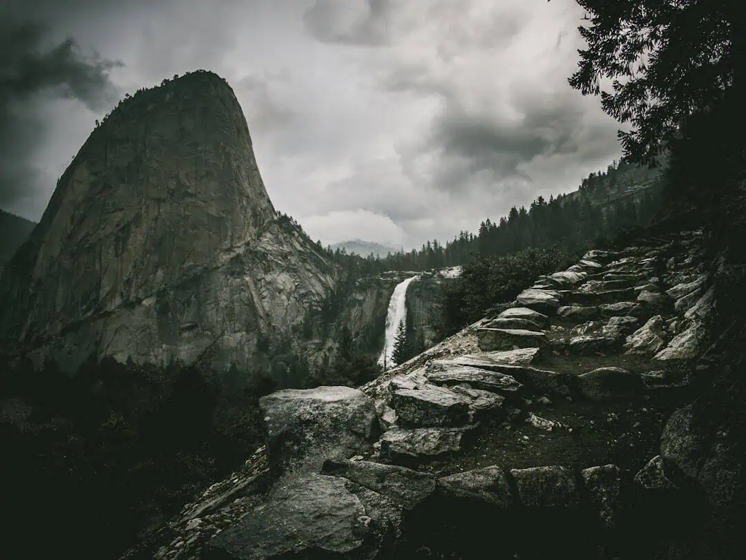
J.A. Skinner State Park
2.9 miles away
Norwottuck Rail Trail
3.9 miles away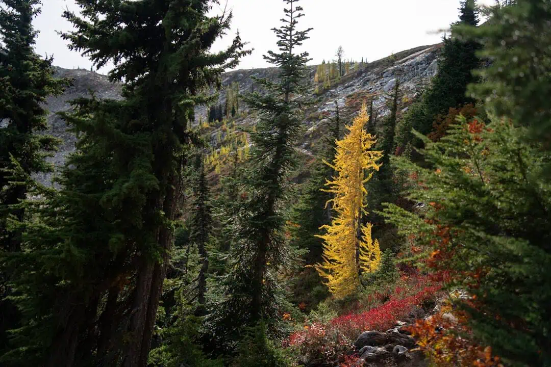
Mount Tom State Reservation
4.6 miles away
Mount Holyoke Range State Park
5.2 miles away
Holyoke Heritage State Park
9.1 miles away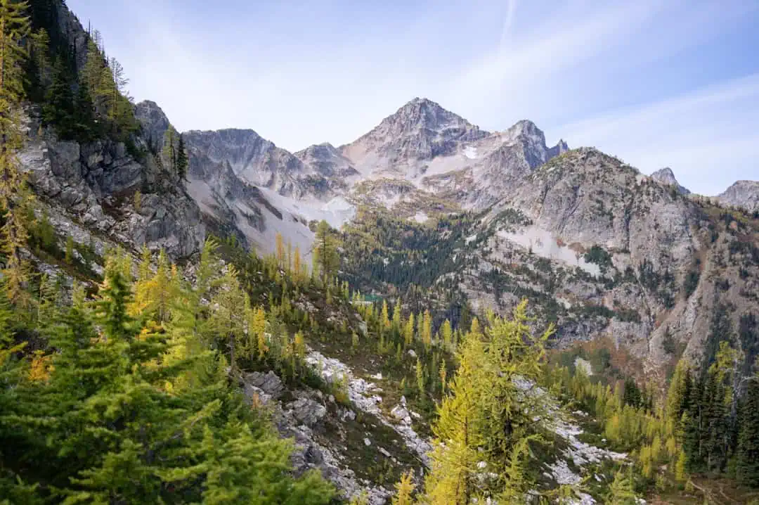
Mount Sugarloaf State Reservation
10.2 miles away
Burkeville Covered Bridge
11.3 miles away
Hampton Ponds State Park
11.4 miles away
C. M. Gardner State Park
13.4 miles away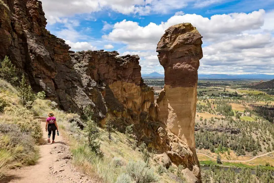
Lake Lorraine State Park
14.3 miles away
Lake Wyola State Park
15.2 miles away
