Appalachian Trail
Massachusetts (Berkshire County)
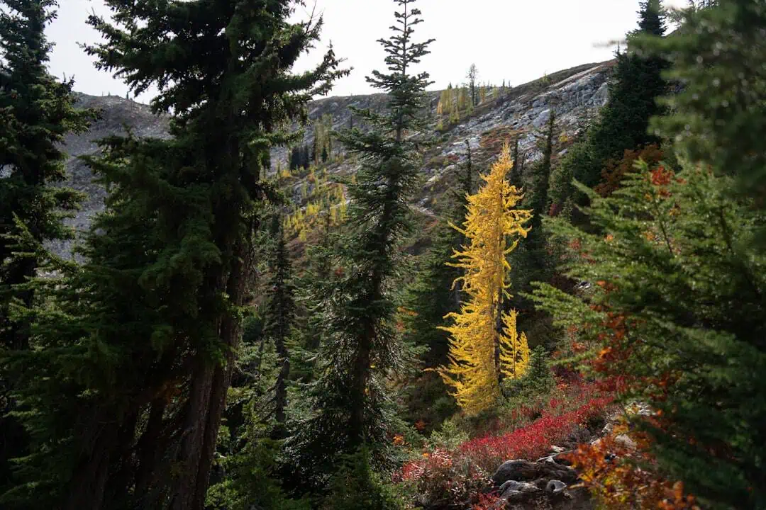
The Appalachian Trail crosses roughly 90 miles through Berkshire County, Massachusetts, threading some of the most rewarding terrain on the entire 2,190-mile footpath. This stretch delivers the rugged beauty of the Berkshires — dense hardwood forests, rocky ridgelines, and summit views that reach across multiple states on clear days.
The highlight is Mount Greylock, the highest point in Massachusetts at 3,491 feet, where the trail climbs through spruce-fir forest to a summit crowned by the Veterans War Memorial Tower. On a good day, you can see five states from the top. South of Greylock, the trail rolls through the towns of Dalton and Great Barrington, crossing pastoral farmland and climbing to exposed ledges on Mount Race and Mount Everett, where the views over the Housatonic Valley are among the best in southern New England.
Hikers can tackle the Massachusetts section as day hikes or a multi-day thru-hike. Shelters and backcountry campsites are spaced along the route, including the popular Bascom Lodge near the Greylock summit. The trail ranges from gentle valley walking to steep, rocky ascents that demand sturdy boots and trekking poles.
Late September through mid-October brings the Berkshires’ famous fall foliage, making it the most scenic — and busiest — time on the trail. Late spring offers wildflowers and solitude, though mud season lingers into May. Summer is warm and green but can be humid at lower elevations.
Bring plenty of water. The ridge sections are exposed and dry.
Explore Nearby
- Schuylkill County Bridge No. 114 — Covered Bridge in Pennsylvania
- Schuylkill County Bridge No. 113 — Covered Bridge in Pennsylvania
- Maryland Scenic Byways — Scenic Byway in Maryland
- Brandywine Valley Scenic Byway — Scenic Byway in Delaware
- Concord Point Light — Lighthouse in Maryland
Photos

Nearby Discoveries
12 places to explore within 30 miles

Mount Riga State Park
1.7 miles away · 4.6 ★
Mount Washington State Forest
3.1 miles away
Mount Everett State Reservation
3.8 miles away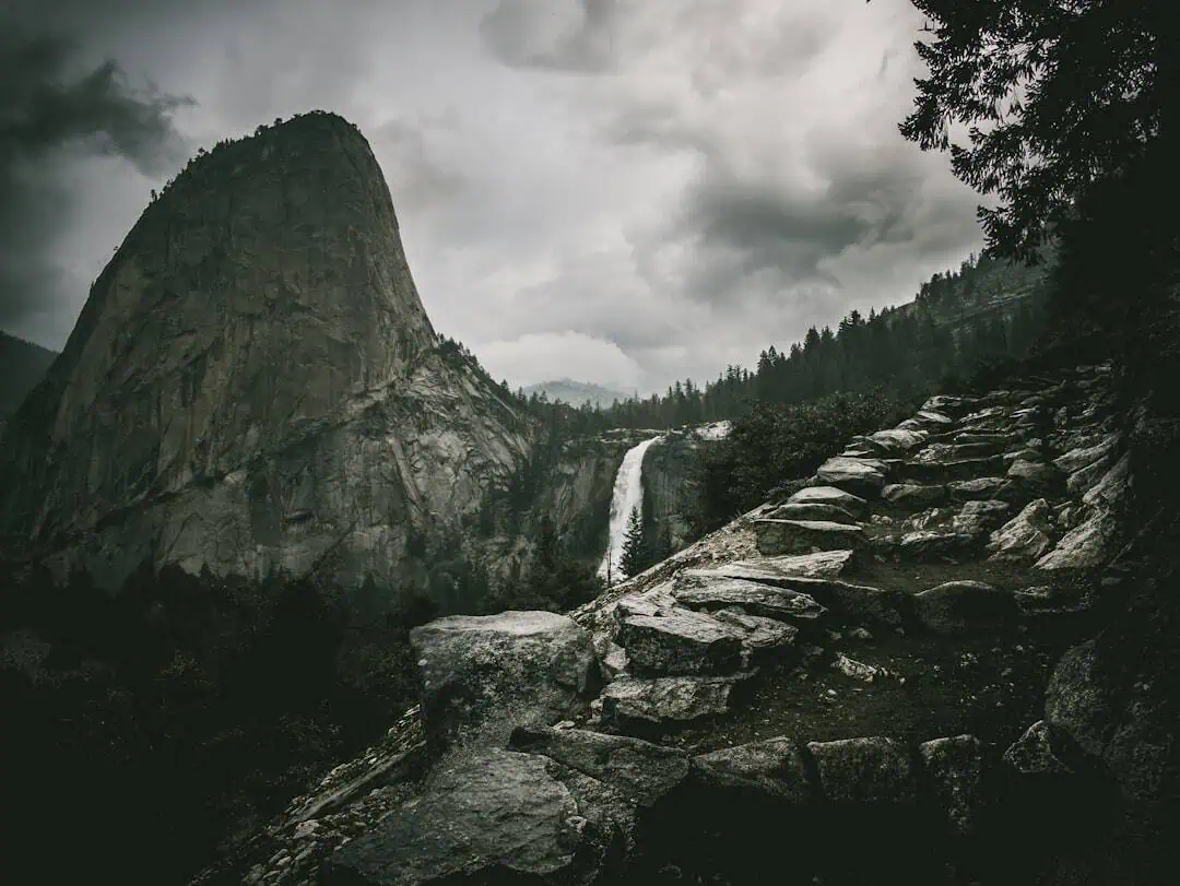
Bash Bish Falls State Park
5.1 miles away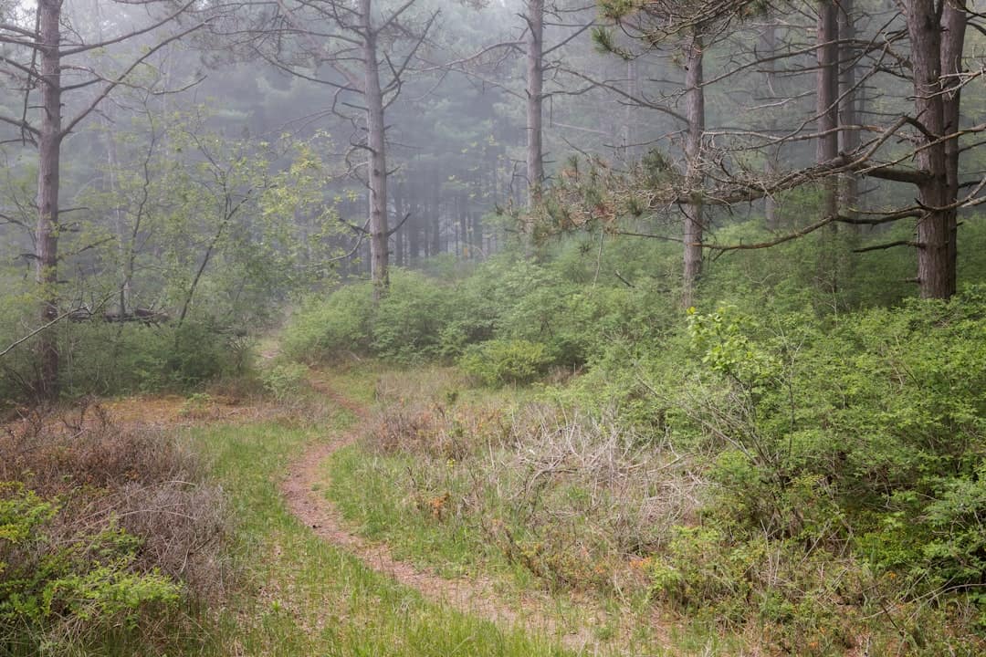
Jug End State Reservation and Wildlife Management Area
5.9 miles away
Taconic State Park – Rudd Pond area
6 miles away
Taconic State Park – Copake Falls area
6.3 miles away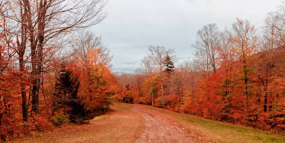
Robbins Swamp Wildlife Management Area
6.4 miles away · 4.0 ★
Old Covered Bridge
6.6 miles away
Beartown State Forest
13 miles away
West Cornwall Covered Bridge
13 miles away