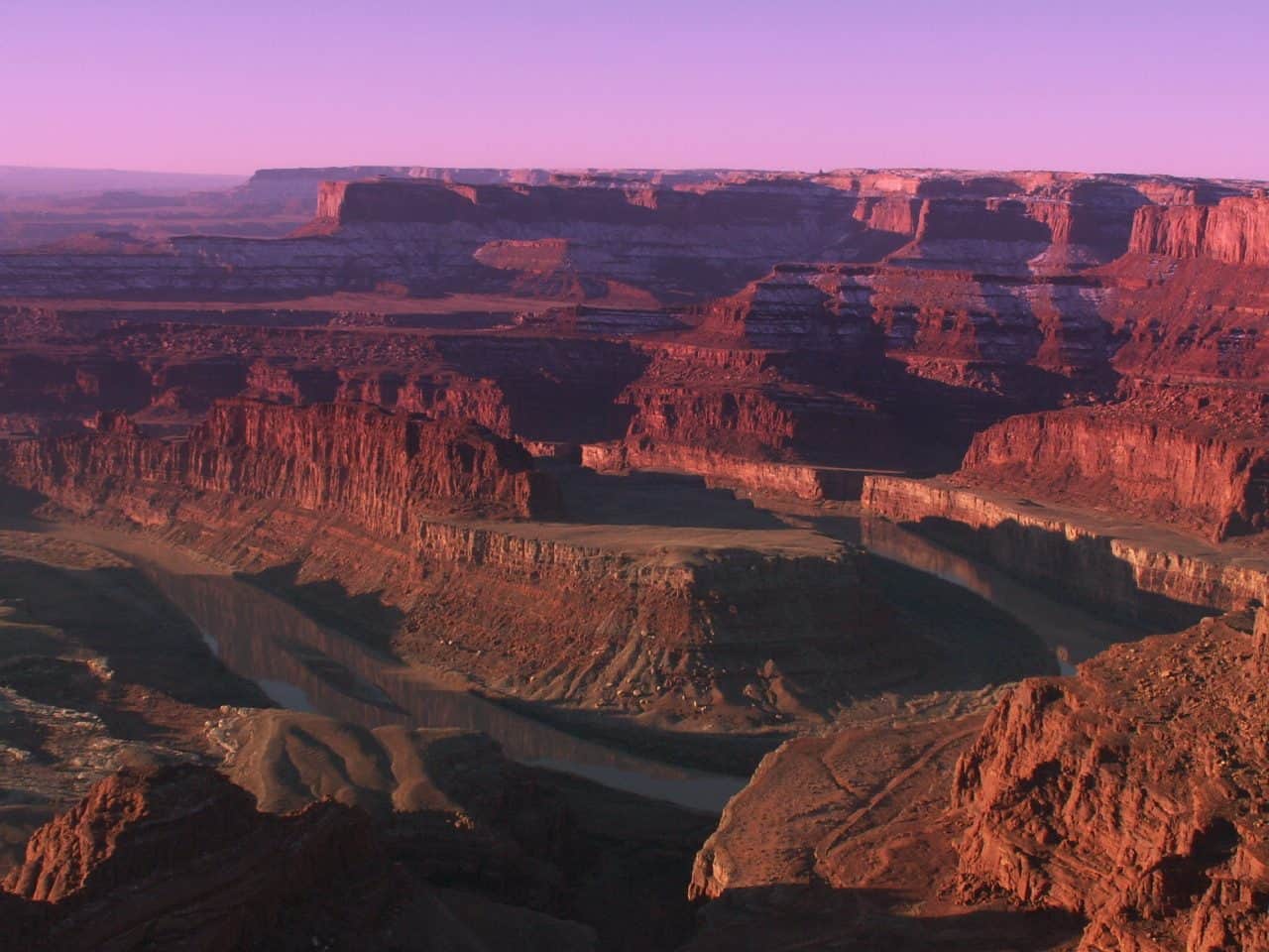
The area is elongated in a general curve around lower Horseshoe Canyon. The terrain in the study area consists of sandy flats and hilly areas between the canyons which are 1,000 feet deep where they join the Green River. The bottoms of the canyons are inaccessible in several places. The WSA includes approximately 20 miles of perennial streams, the majority of which is the Green River along the eastern boundary of the WSA. The canyons in the WSA expose many geologic strata. The upper reaches provide dramatic views of the twisted and carved character of the area including cliffs, knolls, alcoves, caves, and arches. Adjacent to the southwestern border and an extension of the Horseshoe Canyon drainage, are notable pictographs in the detached Horseshoe Canyon Unit of Canyonlands National Park. Within the Labyrinth Canyon drainage and WSA along the Green River is evidence of the early river explorers. A river register at Bowknot Bend records the passage of both famous and little known river runners.
Explore Nearby
- Dead Horse Point State Park — State Park in Utah
- Dead Horse Point Mesa Scenic Byway — Scenic Byway in Utah
- Dead Horse Point State Park — Dark Sky Site in Utah
- Goblin Valley State Park — State Park in Utah
- Potash-Lower Colorado River Scenic Byway — Scenic Byway in Utah