Jewell Tibbets Arch Trail
Utah
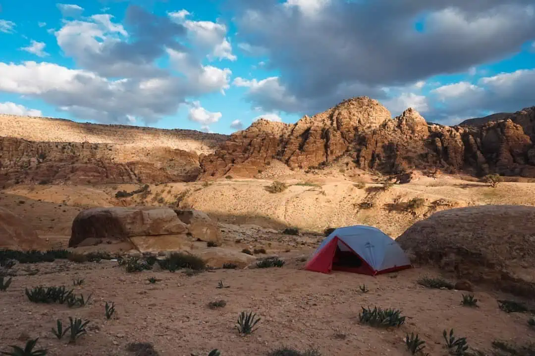
The Jewell Tibbets Arch Trail offers spectacular views across Hell Roaring Canyon to a large natural arch. Close to several BLM campgrounds, and to Canyonlands National Park and Dead Horse Point State Park.
From the parking lot, the trail passes through a fence and follows a dirt road for about 0.1 miles. The trail leaves the road and goes down several dry washes until it rejoins an old road (closed to vehicles). After a short distance, the trail leaves the old road, and follows a series of rock cairns to near the edge of the 400 foot deep Hell Roaring Canyon. After a short distance, the trail follows a short spur onto a slickrock platform, from which spectacular views of the arch and the canyon below can be had. The trail returns to the parking lot across a blackbrush mesa, where it rejoins the road.
The arch is named after Jewel Tibbetts, a Moab resident who lived about 10 miles distance at the Horsethief Ranch in the 1950’s and 1960’s with her husband Bill. They often took ranch visitors to see the arch.
There is no fee for hiking the Jewell Tibbets Arch Trail, however please leave the place nicer than when you arrived by picking up any litter you may find and by staying precisely on the trail provided. This trail sees a lot of use and needs some help from you to stay nice! Thank you!
Note: Hikers should exercise caution on those sections of the trail which are close to the edge of Hell-Roaring Canyon. The trail can be very warm in summer. Neither mountain bikes nor motorized vehicles are allowed on this trail, except for the first 0.1 miles where the trail follows an existing road.
Explore Nearby
- Yuba State Park — State Park in Utah
- Willard Bay State Park — State Park in Utah
- Fishlake National Forest — National Forest in Utah
- Dixie National Forest — National Forest in Utah
- Upper Colorado River Scenic Byway — Scenic Byway in Utah
Nearby Discoveries
12 places to explore within 30 miles

Dead Horse Point State Park
1.7 miles away
Dead Horse Point State Park
9.7 miles away · 4.8 ★
Bar M Trail System
9.7 miles away · 4.7 ★
Dead Horse Point Mesa Scenic Byway
9.7 miles away · 4.8 ★
Utahraptor State Park
10.6 miles away
Old Spanish National Historic Trail
12 miles away
Old Spanish Trail
12 miles away
Potash-Lower Colorado River Scenic Byway
12.4 miles away · 4.7 ★
Klondike Bluffs Trail System
13 miles away · 4.6 ★
Williams Bottom Camping Area
13.9 miles away · 4.3 ★
Portal Trail
14.2 miles away · 3.0 ★