
Dead Horse Point Mesa Scenic Byway
Utah
Rising above the Colorado River canyon lands, the Dead Horse Point Mesa Scenic Byway delivers one of Utah’s most dramatic desert experiences. This state-designated scenic route climbs through layers of ancient sandstone to reach Dead Horse Point State Park, where sheer cliffs plunge 2,000 feet to the gooseneck bends of the Colorado River below — a panorama that rivals anything in the national parks.
Along the way, travelers pass through a stark, beautiful landscape of juniper-dotted mesas, deep red rock formations, and sweeping views of the La Sal Mountains on the horizon. The byway offers several pullouts and overlooks where you can absorb the vastness of Canyonlands National Park stretching endlessly to the south and west.
Key stops include the Dead Horse Point Overlook, one of the most photographed viewpoints in the American West, and the park’s network of rim trails perfect for short hikes. Sunrise and sunset transform the canyon walls into glowing bands of crimson and gold.
Spring and fall offer the most comfortable temperatures for exploring. Summer brings intense heat, while winter can dust the red rock in snow for stunning contrast. Allow at least two to three hours to drive, stop, and soak it all in.
Explore Nearby
- Dead Horse Point State Park — Dark Sky Site in Utah
- Williams Bottom Camping Area — Public Land in Utah
- Portal Trail — Public Land
- Dead Horse Point State Park — State Park in Utah
- Utahraptor State Park — State Park in Utah
Photos

Nearby Discoveries
12 places to explore within 30 miles

Dead Horse Point State Park
0 miles away · 4.8 ★
Potash-Lower Colorado River Scenic Byway
3.8 miles away · 4.7 ★
Williams Bottom Camping Area
7.1 miles away · 4.3 ★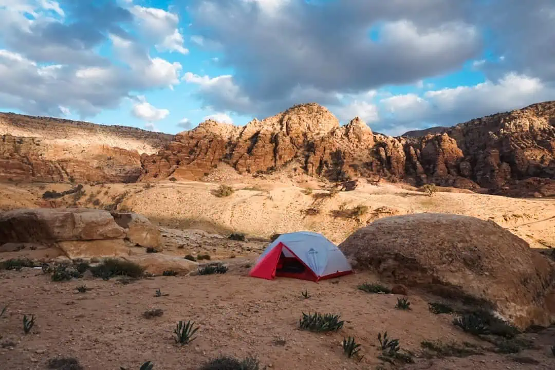
Portal Trail
8.3 miles away · 3.0 ★
Dead Horse Point State Park
9.1 miles away
Moab Rim Trail
9.2 miles away
Old Spanish Trail
9.6 miles away
Old Spanish National Historic Trail
9.6 miles away
Jewell Tibbets Arch Trail
9.7 miles away
Moab Field Office (BLM)
10.5 miles away · 3.5 ★
Bar M Trail System
10.6 miles away · 4.7 ★
