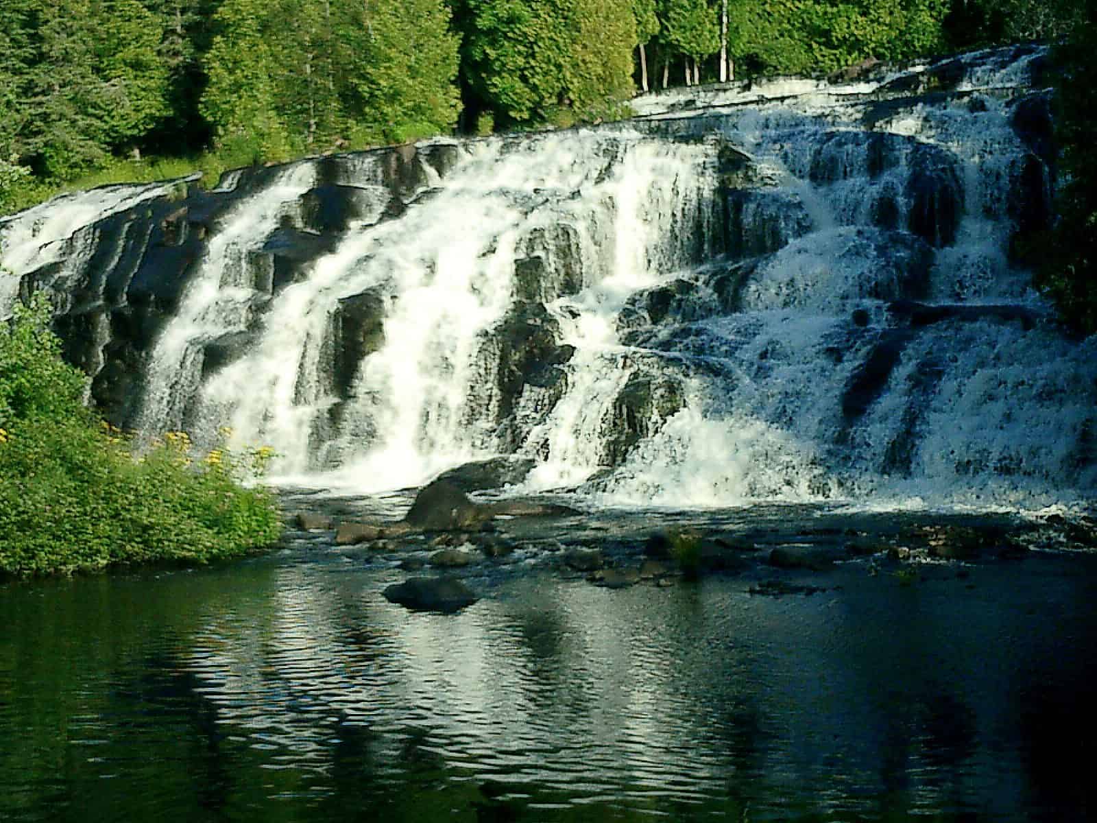
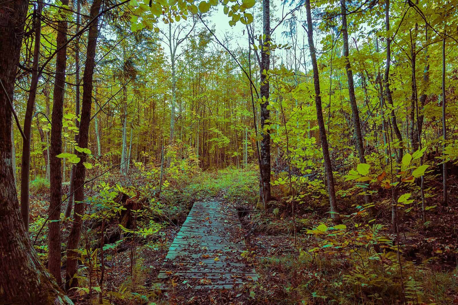
Sprawling across nearly one million acres of Michigan’s Upper Peninsula, Ottawa National Forest offers a rugged wilderness experience defined by pristine waterways, old-growth timber, and the kind of solitude that’s increasingly rare in the modern world. Established in 1931, this vast forest spans six counties and serves as a critical habitat for black bears, wolves, and countless waterfowl.
The forest’s network of lakes and rivers makes it a paddler’s paradise. Canoeists and kayakers can explore interconnected waterways for days, while anglers cast for walleye, northern pike, and bass in waters that remain refreshingly uncrowded. The Sylvania Wilderness, a 21,000-acre preserve within the forest, protects some of the oldest trees in the Great Lakes region and offers backcountry camping for those seeking true immersion in nature.
Visitors can choose from 15 established campgrounds, ranging from developed sites like Lake Ottawa Campground to more primitive options such as Henry Lake Camp and Bobcat Lake Camp. Group travelers should reserve Marion Lake Group Site well in advance during peak season.
Summer brings the warmest temperatures and best paddling conditions, typically June through August. Winter transforms the landscape into a snow sports destination, with extensive trails for cross-country skiing and snowmobiling drawing visitors through March.
The forest headquarters in Ironwood provides maps and permits, while the Watersmeet Visitor Center offers interpretive exhibits and ranger-led programs. U.S. Highway 2 provides the primary access corridor through the forest’s southern section.
Explore Nearby
- Bond Falls Scenic Site — State Park in Michigan
- Agate Falls Scenic Site — State Park in Michigan
- Ontonagon Light — Lighthouse in Michigan
- Ontonagon Harbor West Breakwater Light — Lighthouse in Michigan
- Eagle River Recreation Management Area — Public Land