
Laurel Ridge State Park
Pennsylvania (Cambria, Fayette, Somerset and Westmoreland Counties County)
About This Park
This recreation area is part of Allatoona Lake
Stretching across four counties in southwestern Pennsylvania — Cambria, Fayette, Somerset, and Westmoreland — Laurel Ridge State Park protects over 13,600 acres of forested Appalachian ridgeline. Established in 1967, the park is defined by its centerpiece: the 70-mile Laurel Highlands Hiking Trail, one of the premier long-distance backpacking routes in the eastern United States.
The trail follows the spine of Laurel Ridge at elevations between 2,300 and 2,900 feet, passing through dense stands of oak, maple, and the mountain laurel that gives the park its name. Eight overnight shelter areas spaced along the trail make multi-day backpacking accessible for hikers of varying experience levels — reservations are recommended, especially during peak season.
Beyond backpacking, Laurel Ridge draws cross-country skiers and snowshoers in winter, when the higher elevation reliably holds snow longer than surrounding valleys. Spring brings wildflower displays along the ridge, while fall transforms the canopy into one of Pennsylvania’s most dramatic foliage corridors. Summer hiking offers cooler temperatures than the lowlands, with rocky overlooks providing views across the Youghiogheny River gorge.
Mountain biking, hunting, and snowmobiling are permitted on designated sections. The park’s linear shape means multiple access points from Route 30, Route 31, and several state roads, so you can section-hike without complicated shuttles.
Laurel Ridge is best suited for visitors who want a wilder, less-developed park experience. There are no swimming pools or playgrounds here — just miles of quiet ridgeline trail through some of western Pennsylvania’s most rugged terrain.
Explore Nearby
- Shaffer’s Bridge — Covered Bridge in Pennsylvania
- Trostletown Bridge — Covered Bridge in Pennsylvania
- Lincoln Highway Heritage Byway — Scenic Byway in Iowa
- Lincoln Heritage Scenic Highway — Scenic Byway in Kentucky
- South Hills — Public Land
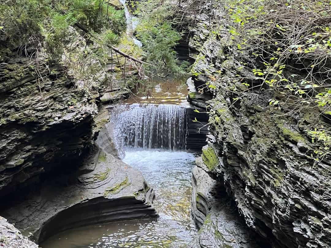
Photos
Nearby Discoveries
12 places to explore within 30 miles
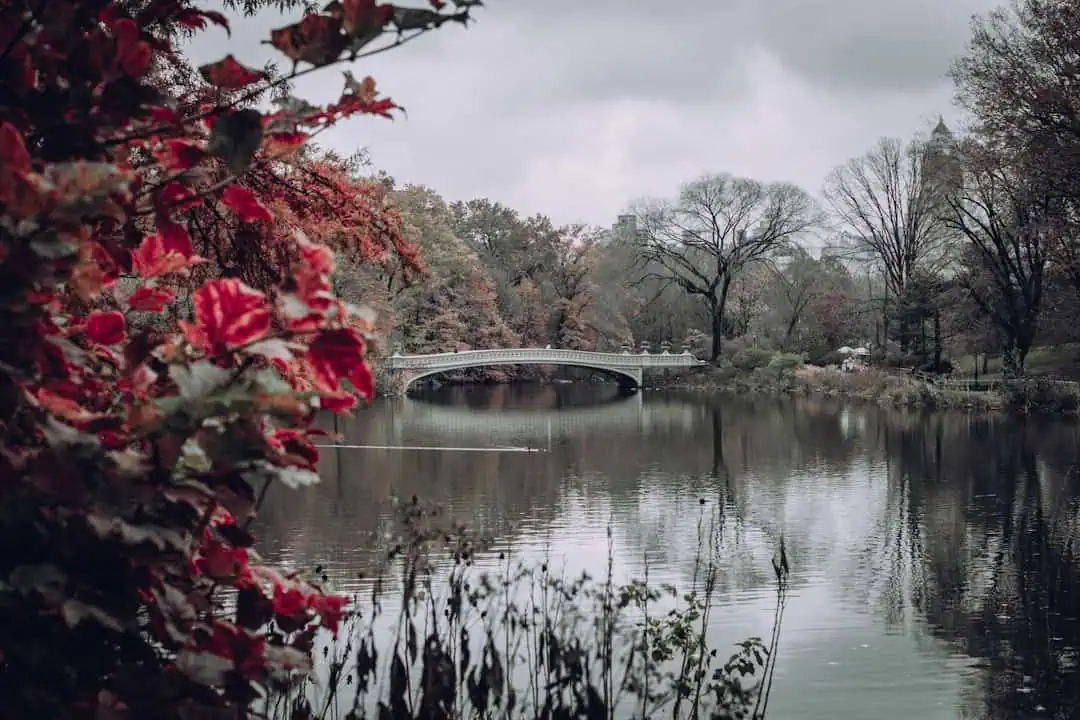
Shaffer’s Bridge
6 miles away
Laurel Mountain State Park
8.1 miles away
Linn Run State Park
10.3 miles away
Laurel Summit State Park
11 miles away
Trostletown Bridge
13 miles away
Walter’s Mill Bridge
13.2 miles away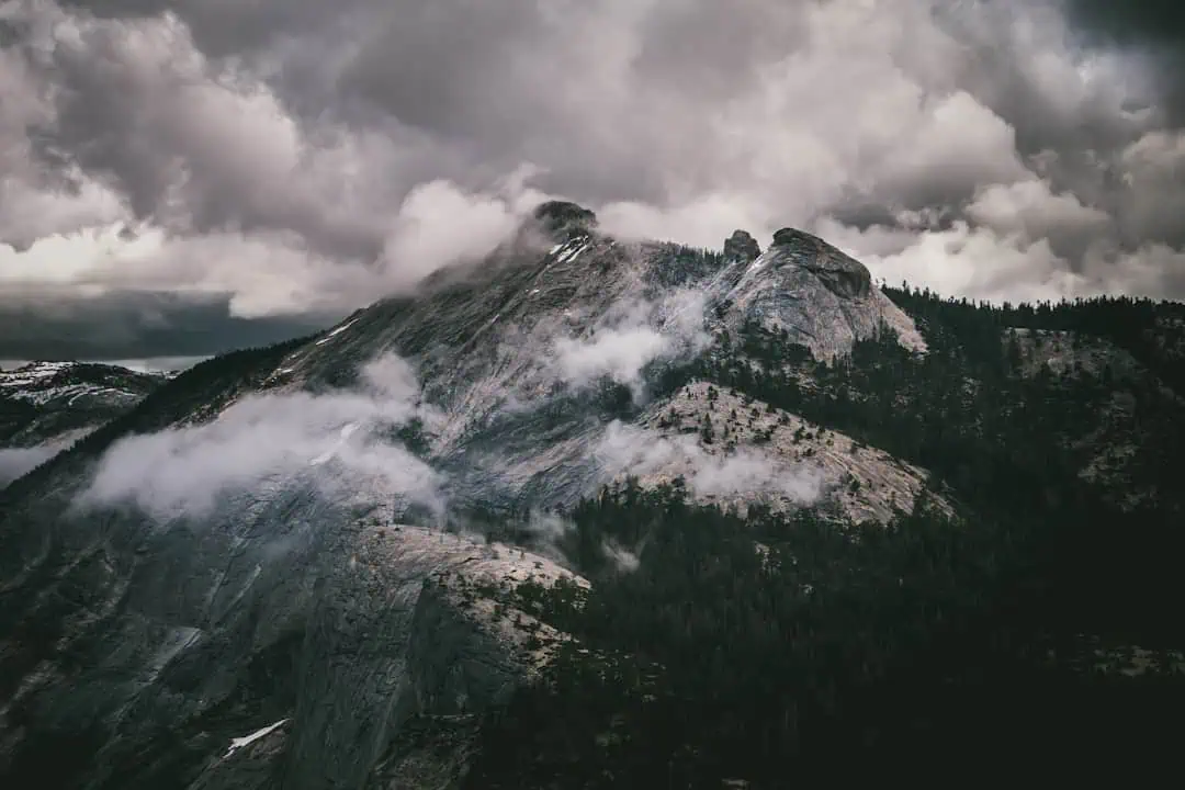
Kooser State Park
15.9 miles away
Glessner Bridge
17.8 miles away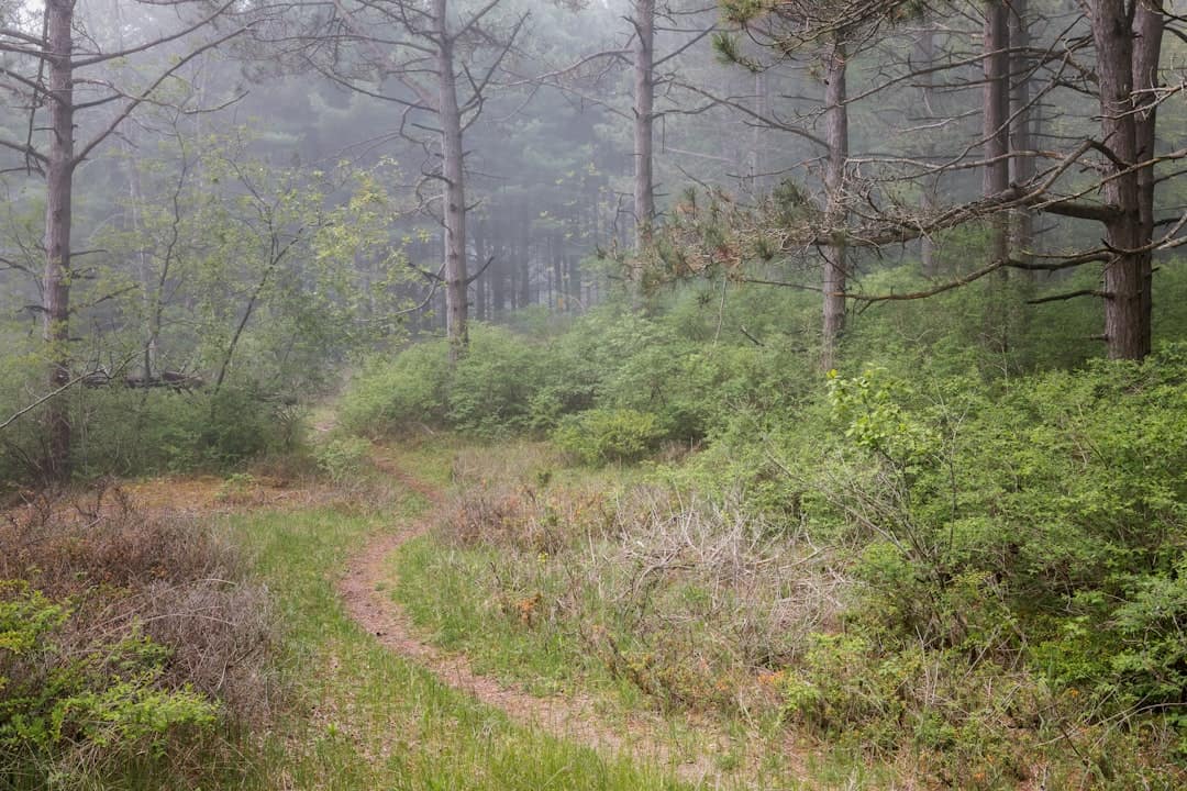
Keystone State Park
18.1 miles away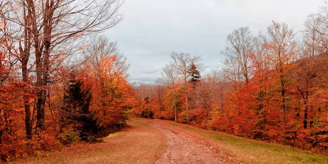
Laurel Hill State Park
18.8 miles away
Yellow Creek State Park
22.6 miles away
