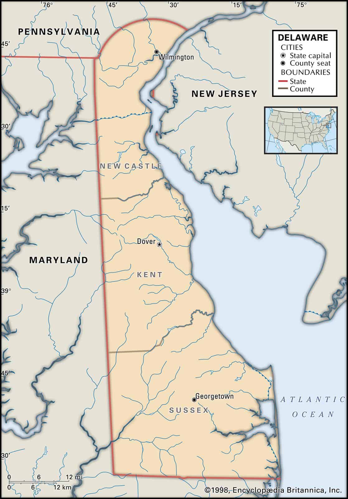
Maps of Delaware are an invaluable piece of ancestral and family history research, especially if you live far from where your ancestor was living.
Due to the fact that Delaware’s political boundaries have often changed over the years, historic maps are crucial in assisting you find out the specific location of your ancestor’s hometown, exactly what land they owned, just who their neighbors happen to be, and a lot more besides.
Maps of Delaware are an excellent tool for starting out with your research because they give important information and facts right away and present them in an easily understandable format.
Delaware’s 10 largest cities are Wilmington, Dover, Newark, Middletown, Smyrna, Milford, Seaford, Georgetown, Elsmere, and New Castle.
Learn more historical facts about Delaware counties here.
Interactive Map of Delaware County Formation History
AniMap Plus 3.0, with the permission of the Goldbug Company
List of Every Delaware County
New Castle County
Established in 1673, New Castle County is the northernmost and most populous county in Delaware with a population of around 559,000. It is home to the state’s largest city, Wilmington, and is known for its historic sites and landmarks.
Kent County
Founded in 1680, Kent County is located in the central part of Delaware and has approximately 179,000 residents. Its largest city is Dover, which also serves as the state capital.
Sussex County
Sussex County was established in 1683 and is the southernmost county in Delaware with a population of around 230,000. It is famous for its beaches, including Rehoboth Beach and Bethany Beach, and is a popular tourist destination.
Old Antique Atlases & Maps of Delaware
Disclaimer: All Delaware maps are free to use for your own genealogical purposes and may not be reproduced for resale or distribution.
Source: David Rumsey Historical Map Collection
-
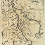
Map of Delaware – 1795
1795 Delaware Map
-
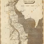
Map of Delaware – 1804
1804 Delaware Atlas Map
-
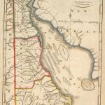
Map of Delaware – 1814
1814 Atlas Map of Delaware
-
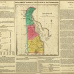
Map of Delaware – 1822
1822 Geographical, Historical, And Statistical Atlas Map Of Delaware
-
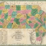
Map of Delaware – 1827
1827 Map of Pennsylvania, New Jersey, and Delaware
-
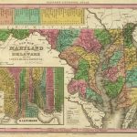
Map of Delaware – 1836
1836 Atlas Map Of Maryland and Delaware with their Canals, Roads & Distances(with) Baltimore
-
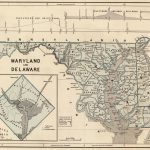
Map of Delaware – 1845
1845 Maryland and Delaware (with) District of Columbia. Atlas Map
-
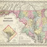
Map of Delaware – 1856
1856 Delaware And Maryland. (with) District of Columbia. Atlas Map
-
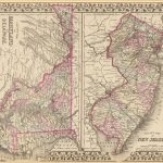
Map of Delaware – 1880
1880 County map of New Jersey. County map of Maryland and Delaware
Delaware Map Links
- Delaware State Parks Map (mapofus.org)
- Delaware Lakes and Rivers Map (mapofus.org)
- Delaware Map With Cities and Highways (mapofus.org)
- Delaware Digital Map Library (usgwarchives.net)
- Old Historical Maps of Delaware (alabamamaps.ua.edu)
- Delaware Maps, Atlases & Gazetteers (ancestry.com)
- Delaware Maps – The Perry-Castañeda Library Map Collection (lib.utexas.edu)
- U.S., Indexed County Land Ownership Maps, 1860-1918 (ancestry.com)
- American Memory Map Collection: 1500-2004 (memory.loc.gov)
- Delaware Map Books (amazon.com)

