Amid the coastal landscapes and historic charm of the First State, a lesser-explored tale emerges – a story not only in its colonial past but in the meandering courses of its rivers and the tranquil expanses of its lakes. Delaware, celebrated for its small size and significant contributions, cradles within its embrace a hidden treasure – a network of waterways that mirror its legacy of innovation and progress.
Like whispered conversations along its shores, Delaware’s rivers and lakes carry stories of exploration, industry, and the inseparable bond between its people and the water. In this article, we embark on a journey that traces the pathways of Delaware’s rivers and reflects upon the mirrored surfaces of its lakes.
Join us as we unveil the significance of these aqueous narratives, uncovering their role in shaping the state’s identity, culture, and resilience, and revealing how water has sculpted its mark onto the very essence of the First State’s compelling narrative.
Printable Delaware Lakes and Rivers Map
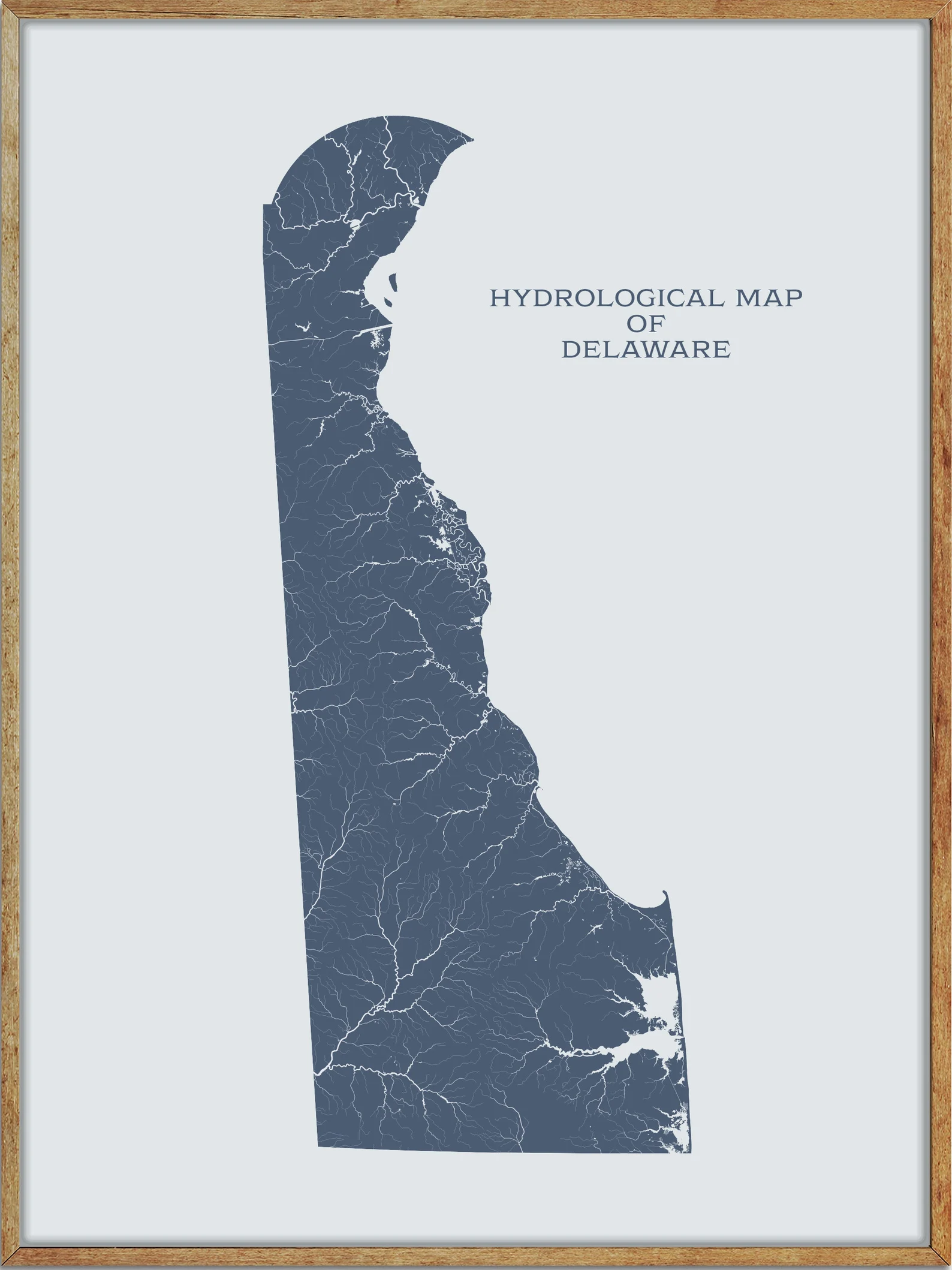
Rivers
Delaware River

The Delaware River is a major river in the Mid-Atlantic region of the United States, flowing for 282 miles along the borders of New York, Pennsylvania, New Jersey, and Delaware, before emptying into Delaware Bay. The river has been recognized as one of the country’s Great Waters and its watershed drains an area of 13,539 square miles, providing drinking water for 17 million people, including half of New York City.
The Delaware River has two branches that rise in the Catskill Mountains of New York and flows relatively undeveloped for 152 miles, protected as the Upper, Middle, and Lower Delaware National Scenic Rivers before becoming tidal, navigable, and significantly more industrial at Trenton, New Jersey, forming the backbone of the Delaware Valley metropolitan area.
Smyrna River

The Smyrna River is a navigable 7.3-mile-long river in central Delaware that rises east of Smyrna at the confluence of Duck Creek and Mill Creek. It flows generally northeast, forming the boundary between Kent and New Castle counties before entering Delaware Bay approximately 6 miles northeast of Smyrna.
Leipsic River

The Leipsic River is a 16.7-mile-long river in central Delaware that rises in northern Kent County, approximately 8 miles northwest of Dover. It flows generally east, past Leipsic, and enters Delaware Bay approximately 8 miles northeast of Dover. The mouth of the river on Delaware Bay is surrounded by extensive wetlands that are protected as part of Bombay Hook National Wildlife Refuge.
Nanticoke River

The Nanticoke River is a 64.3-mile-long tributary of the Chesapeake Bay on the Delmarva Peninsula, rising in southern Kent County, Delaware, and flowing through Sussex County, Delaware, and forming the boundary between Dorchester County, Maryland, and Wicomico County, Maryland.
The river has a 26-mile ecotourism water trail running along it, set aside by Delaware state and federal officials, contiguous with a 37-mile water trail extending through Maryland to the Chesapeake Bay. The river was dredged in 1990 and 2013 to facilitate shipping travel along the course.
Indian River
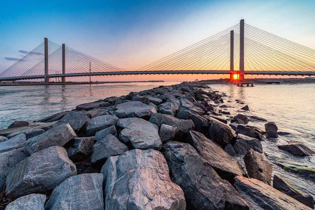
The Indian River is a 15-mile-long river and estuary in Sussex County, southern Delaware, named after a Native American reservation that was located on its upper reaches. The river rises southwest of Georgetown and flows east, past Millsboro, before entering Indian River Bay, an inlet of the Atlantic Ocean south of Cape Henlopen.
The lower 6 miles of the river form a navigable tidal estuary stretching westward from Indian River Bay, and the Indian River Inlet, its mouth, was a natural waterway that shifted up and down a two-mile stretch of the coast until dredging kept it open in its current location between 1928 and 1937, with jetties built in 1938 to hold it in place.
Murderkill River

The Murderkill River is a 21.7-mile-long river that flows to Delaware Bay in central Delaware, draining an area of 106 square miles on the Atlantic Coastal Plain. The river rises just west of Felton and flows generally east-northeastwardly, through Killen Pond and Coursey Pond, under Carpenters Bridge, and past Frederica to Bowers, where it enters Delaware Bay about 0.5 miles south of the mouth of the St. Jones River.
The Murderkill River is tidally influenced from its mouth upstream to just past Frederica and is considered navigable for the lower 10 miles of its course by the U.S. Army Corps of Engineers.
Christina River
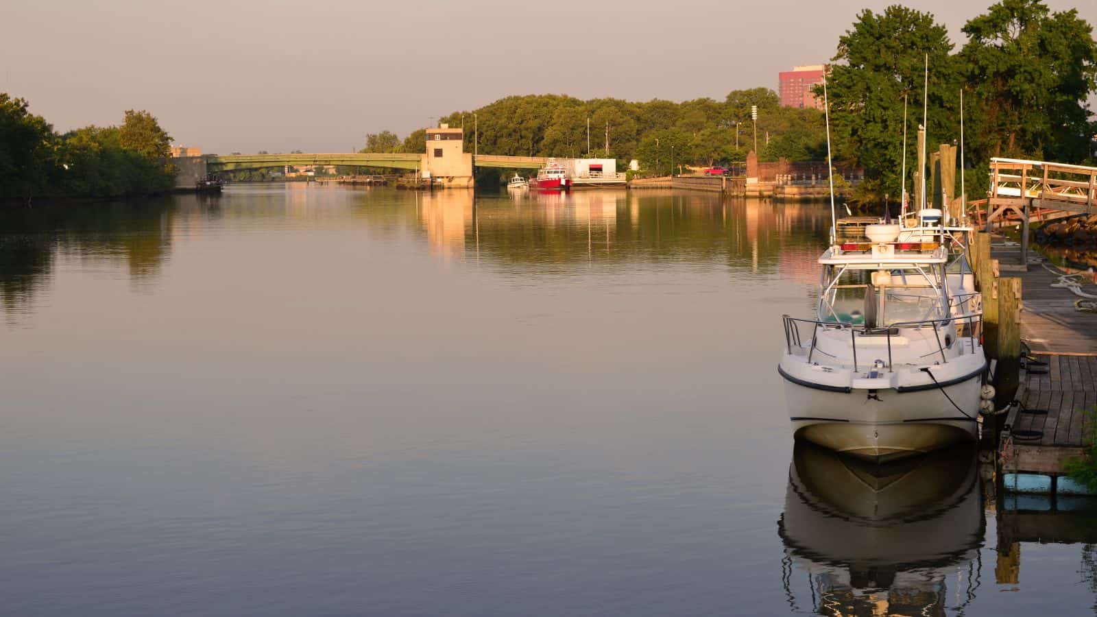
The Christina River is a 35-mile-long tributary of the Delaware River, flowing through small areas of southeastern Pennsylvania and northeastern Maryland before passing downtown Wilmington, Delaware, forming the city’s harbor for traffic on the Delaware River. The river rises in southeastern Pennsylvania in Franklin Township, flows through western and southern areas of the city of Newark, and receives White Clay Creek from the west near Newport and Brandywine Creek in Wilmington, approximately 2 miles upstream of its mouth.
The Christina River and its tributaries drain an area of 565 square miles, supplying approximately 100 million gallons of water per day for more than half a million people in the three states, providing 75% of the water supply for New Castle County, Delaware, and more than 40% of the water supply for Chester County, Pennsylvania.
St Jones River
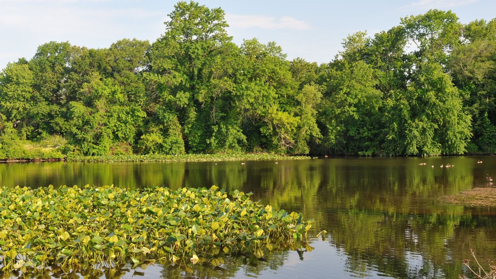
The St. Jones River is a 12.8-mile-long river flowing to Delaware Bay in central Delaware, draining an area of 36 square miles on the Atlantic Coastal Plain. The river flows for its entire length in east-central Kent County, beginning at the dam of Silver Lake in the city of Dover, fed by Fork Branch, Penrose Branch, and Maidstone Branch.
From Silver Lake, the river flows generally southeastwardly, along the east side of downtown Dover and past Legislative Hall, the Capital Square/Legislative Mall, and the Dover Air Force Base to Bowers, where it flows into Delaware Bay, approximately 0.5 miles north of the mouth of the Murderkill River.
Mispillion River
The Mispillion River is a 15-mile-long river flowing to Delaware Bay in southern Delaware, draining an area of 76 square miles on the Atlantic Coastal Plain. It rises in northern Sussex County, approximately 3 miles southwest of Milford, and flows generally east-northeastwardly, defining the boundary between Sussex and Kent counties, passing through the center of Milford on its course to its mouth at Delaware Bay, 16 miles northwest of Cape Henlopen.
The lower 12 miles of the river are considered navigable by the U.S. Army Corps of Engineers, and a boardwalk known as the Mispillion Riverwalk follows the river in Milford, with an effort underway to preserve a greenway along the river upstream and downstream of Milford.
Lakes
Hoopes Reservoir

Hoopes Reservoir is the largest reservoir in Delaware, located in New Castle County. The reservoir was built by the city of Wilmington in 1932 for municipal drinking water, impounding the water of Old Mill Stream and Red Clay Creek. It has a water surface of 187 acres and a maximum capacity of 11,000 acre-feet, and has been open to the public since 1971.
Silver Lake
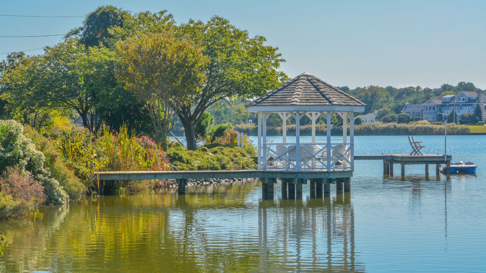
Silver Lake is a lake and park in Dover, Delaware, serving as the source of the St. Jones River. The lake is home to a variety of fish species including carp, catfish, and striped bass, among others. The park surrounding the lake offers amenities such as picnic tables, a walking path, a children’s play area, and grills for barbecuing. Visitors are required to obtain permits from the City of Dover Parks and Recreation Department to fish or boat on the lake.
Lake Como
Lake Como is a popular recreational spot located in Smyrna, Delaware. The lake features a beach area with amenities such as swimming, fishing, playground equipment, picnic tables, and pavilions. Visitors can also enjoy boating with a boat ramp available, but there is a wake speed restriction for motorboats. The swimming area is open from Memorial Day weekend until Labor Day, with free admission.

