Amid the rolling farmlands and the serene beauty of its natural landscapes, a different kind of masterpiece unfolds in the Badger State—a narrative not just in its historical landmarks but in the sinuous flow of its rivers and the tranquil expanses of its lakes.
Wisconsin, celebrated for its dairy heritage and outdoor adventures, holds within its embrace a hidden treasure—a network of waterways that mirror its legacy of innovation and connection.
Like whispered conversations around a campfire, Wisconsin’s rivers and lakes carry tales of exploration, trade, and the enduring bond between its people and the land. In this article, we embark on a journey that traces the meandering courses of Wisconsin’s rivers and immerses in the mirrored surfaces of its lakes.
Join us as we unveil the significance of these aqueous chapters, uncovering their role in shaping the state’s identity, culture, and prosperity, and revealing how water has painted its essence onto the very canvas of the Badger State’s captivating narrative.
Printable Wisconsin Lakes and Rivers Map
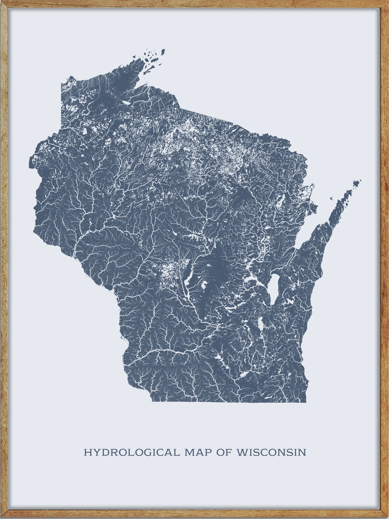
Rivers
Wisconsin River

The Wisconsin River is the state’s longest river, approximately 430 miles long, and a tributary of the Mississippi River in Wisconsin. The river’s name was first recorded in 1673 by Jacques Marquette as “Meskousing”, and it originates in the forests of the North Woods Lake District of northern Wisconsin, in Lac Vieux Desert near the border of the Upper Peninsula of Michigan.
The river flows south across the glacial plain of central Wisconsin, passing through Wausau, Stevens Point, and Wisconsin Rapids, encountering the terminal moraine formed during the last ice age, where it forms the Dells of the Wisconsin River. Finally, the river turns to the west, flowing through Wisconsin’s hilly Western Upland and joining the Mississippi approximately 3 miles south of Prairie du Chien, creating the only natural county borders within the state.
Chippewa River
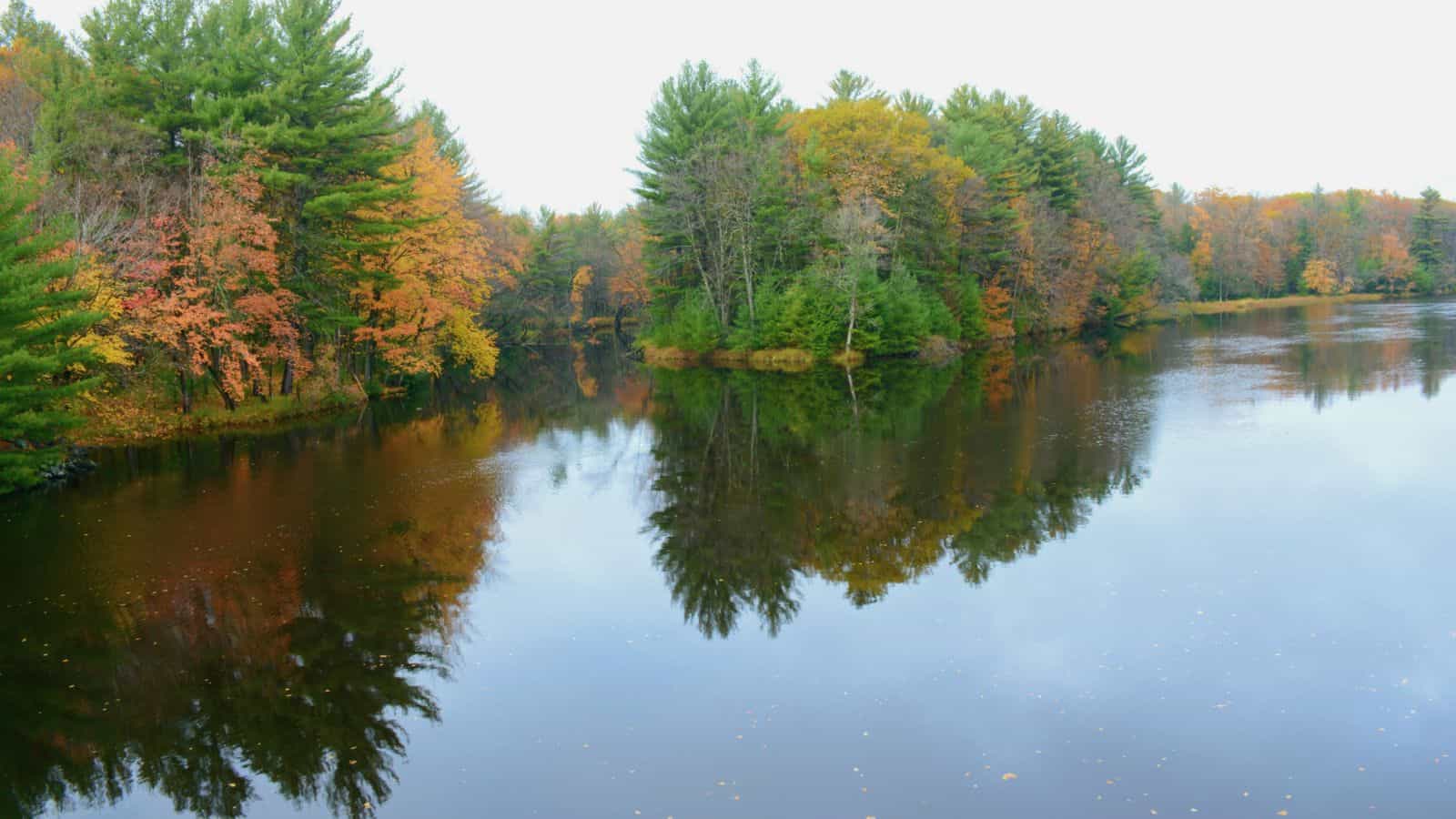
The Chippewa River in Wisconsin is a 183-mile-long river that flows through west-central and northwestern Wisconsin, defining a portion of the northern boundary of the Driftless Area. The river is formed by the confluence of the West Fork Chippewa River and the East Fork Chippewa River, and it flows from Sawyer County through Rusk, Chippewa, Eau Claire, Dunn, Pepin, and Buffalo Counties before emptying out into the Mississippi River.
The river is easily accessible for bikers and pleasure seekers via the Chippewa River State Trail, which follows the river from Eau Claire to Durand, and it is also a popular location for fishing, boating, and other outdoor recreational activities.
Menominee River

The Menomonee River is one of three primary rivers in Milwaukee, Wisconsin, along with the Kinnickinnic River and Milwaukee River. The river is named after the Menomonee Indians and was given to the Menomonee people by the Chippewa people, referring to the abundant wild rice that once grew along its shores in the Menomonee Valley.
As a tributary of the Milwaukee River, it is the most industrialized river within the Milwaukee River Basin, and it is known for its important role in the city’s industrial history.
Black River
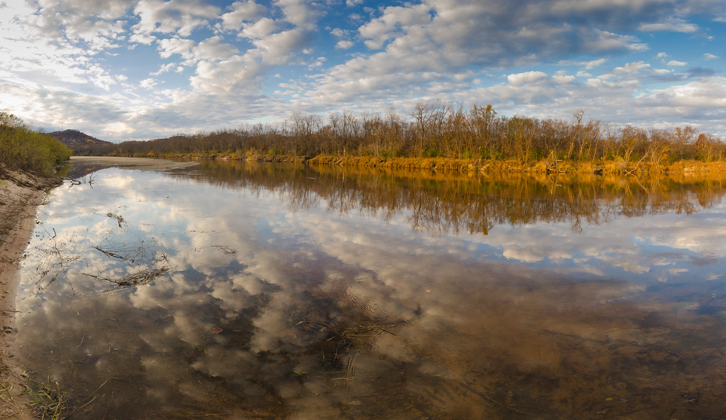
The Black River is a 190-mile-long river in west-central Wisconsin and a tributary of the Mississippi River, known for its important role in the state’s logging history. The river begins in central Wisconsin, rising in Taylor County and flowing through Medford, Greenwood, Neillsville, and Black River Falls before mingling with the Mississippi River in Lake Onalaska.
The Black River can be divided into two sections by the dam at Black River Falls, with the upstream section averaging 6.6 feet/mile gradient and the lower section through the Driftless Area only averaging 1.7 feet/mile gradient.
St Croix River

The St. Croix River is a tributary of the Mississippi River, approximately 169 miles long, in the U.S. states of Wisconsin and Minnesota. The lower 125 miles of the river form the border between Wisconsin and Minnesota, and it is a National Scenic Riverway under the protection of the National Park Service.
The river rises in the northwestern corner of Wisconsin, out of Upper St. Croix Lake in Douglas County, near Solon Springs, and flows south to Gordon, then southwest, and is joined by major tributaries such as the Kettle River, Snake River, and Sunrise River joining from the west, and the Apple River, Willow River, and Kinnickinnic River joining from the east, before eventually joining the Mississippi River at Prescott, Wisconsin.
Mississippi River

The Mississippi River is the primary and second-longest river in the largest drainage basin in the United States, flowing generally south for 2,340 miles to the Mississippi River Delta in the Gulf of Mexico. The river and its tributaries drain all or parts of 32 U.S. states and two Canadian provinces between the Rocky and Appalachian mountains, making it one of the most important transportation arteries and communications links in the country.
However, the river has also experienced major pollution and environmental problems, particularly elevated nutrient and chemical levels from agricultural runoff, which has led to the formation of the Gulf of Mexico dead zone.
Flambeau River
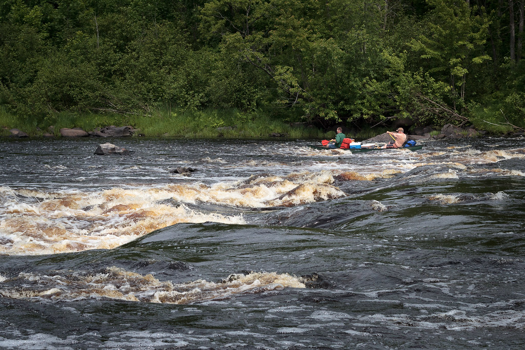
The Flambeau River is a tributary of the Chippewa River in northern Wisconsin, draining an area of 1,860 square miles and descending from an elevation of approximately 1,570 feet to 1,060 feet above sea level. The river is an important recreational destination in the region, offering outstanding canoe camping, excellent scenery, fishing, and whitewater rafting.
The river rises in two major forks, the North Fork and the South Fork, both originating in north-central Wisconsin and flowing generally southwest to their confluence, then continuing as the main Flambeau to the mouth at the Chippewa River near Bruce, Wisconsin, and major tributaries include the Turtle River and the Elk River.
Red Cedar River
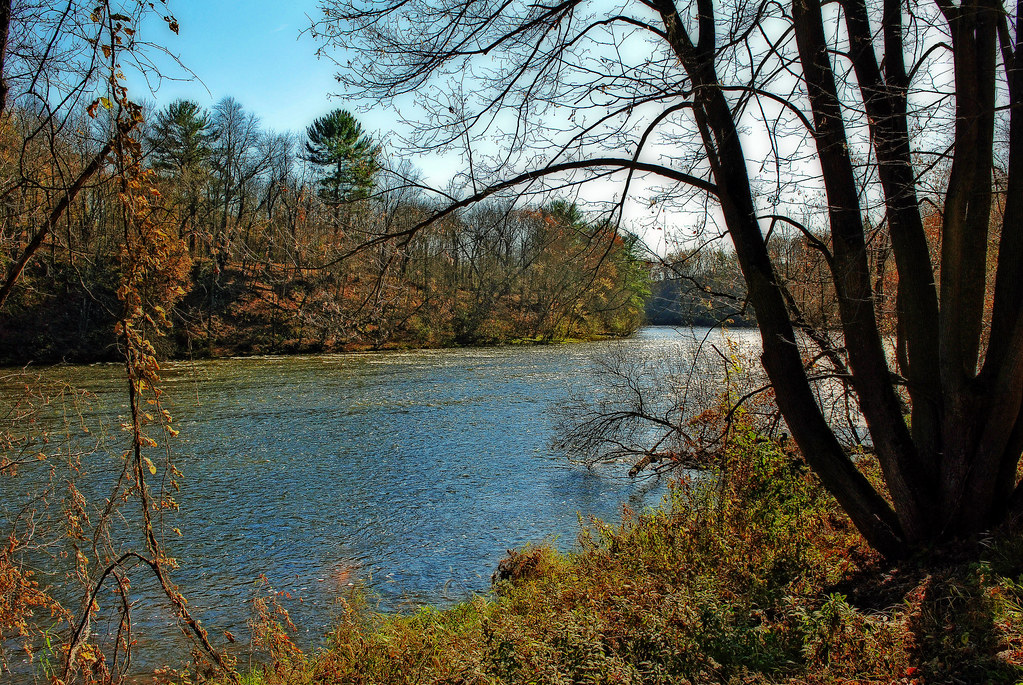
The Red Cedar River is a tributary of the Chippewa River in northwestern Wisconsin, flowing approximately 100 miles from southwestern Sawyer County to its confluence with the Chippewa southeast of Dunnville in southern Dunn County.
Its name is derived from the Ojibwe Miskwaawaakokaan-ziibi, meaning “Abundant with Red Cedar River,” and it drains portions of eight Wisconsin counties. The river’s important tributaries include the Chetek River and the Hay River, and important settlements along its course include Cameron, Rice Lake, Colfax, and Menomonie.
Namekagon River
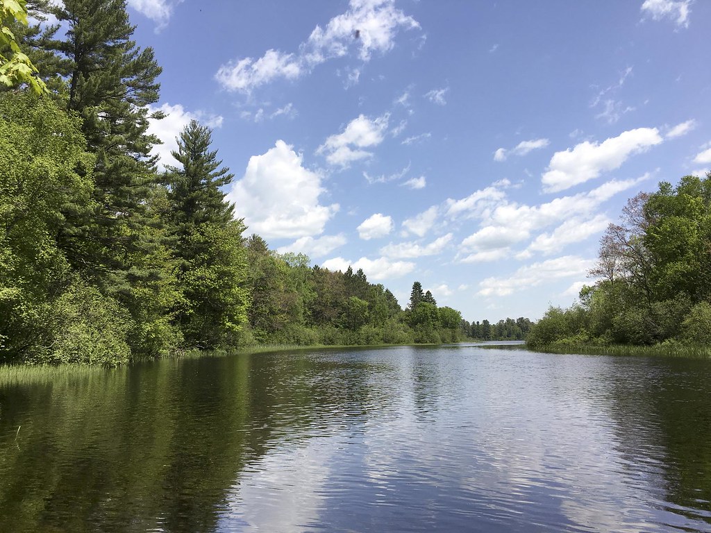
The Namekagon River is a 101-mile-long tributary of the St. Croix River located in northwestern Wisconsin, flowing from Lake Namakagon in southeastern Bayfield County through Sawyer and Washburn counties, past Hayward, and northwestwardly into Burnett County, where it joins the St. Croix.
Its course is protected as part of the St. Croix National Scenic Riverway, and its name is derived from the Ojibwe language Namekaagong-ziibi, meaning “river at the place abundant with sturgeons.” The river’s name has been spelled Namakagon, Namekagan, and Namekagun, but the United States Board on Geographic Names issued a decision setting “Namekagon” as the river’s spelling in 1933.
Flambeau River

The Flambeau River is a tributary of the Chippewa River in northern Wisconsin, draining an area of 1,860 square miles and descending from an elevation of approximately 1,570 feet to 1,060 feet above sea level. The river is an important recreational destination in the region, offering outstanding canoe camping, excellent scenery, fishing, and whitewater.
Its major tributaries include the Turtle River, Elk River, and Swamp Creek, and it rises in two major forks, the North Fork and the South Fork, both originating in north-central Wisconsin and flowing generally southwest to their confluence, then continuing as the main Flambeau to the mouth at the Chippewa River near Bruce, Wisconsin.
Jump River
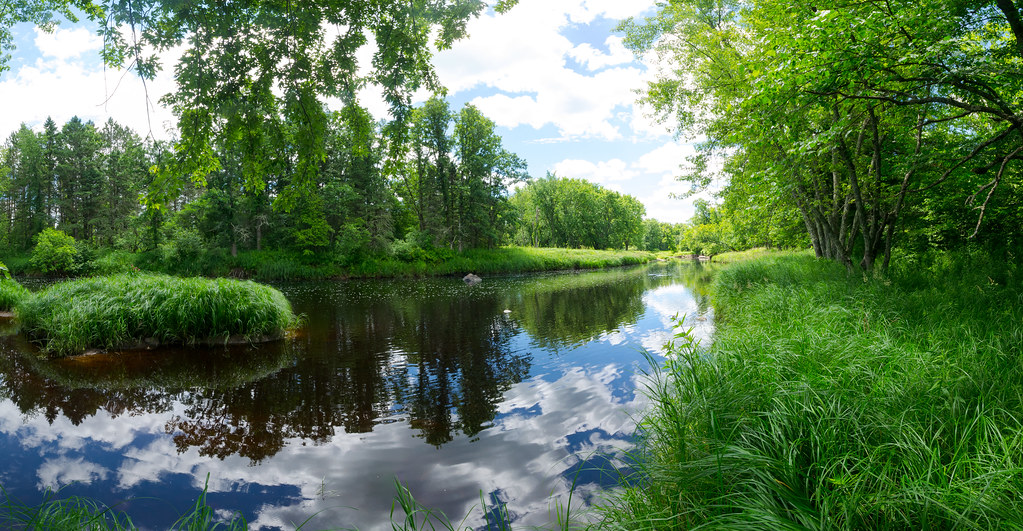
The Jump River is a small rocky river in north-central Wisconsin that was used to drive logs down to the Chippewa River in the late 19th century and is now a recreational destination for fishermen and paddlers, rambling through woods and farmlands.
The river is formed at the confluence of the North Fork Jump River and the South Fork Jump River in southwestern Price County, Wisconsin, and flows approximately 25 miles through Rusk, Taylor, and Chippewa counties, emptying into the Holcombe Flowage and joining the Chippewa River, eventually flowing into the Mississippi. Communities along the river include Sheldon, Jump River, and Prentice.
Peshtigo River

The Peshtigo River is a 136-mile-long tributary of Green Bay in Wisconsin, known for the Peshtigo Fire that happened in the river’s vicinity, with some survivors using the river for refuge from the flames.
The river flows southeasterly towards the bay of Green Bay, spending most of its time winding through Marinette County and featuring a section of whitewater called the Roaring Rapids. The river is also home to two dams, Caldron Falls Dam and High Falls Dam, before collecting the Thunder River.
Eau Claire River

The Eau Claire River is a tributary of the Wisconsin River in Wisconsin, originating in western Langlade County and flowing into Marathon County.
The river flows through the scenic “Dells of the Eau Claire” before reaching Wausau and converging into the Wisconsin River just north of Schofield. The river is a popular destination for fishing and outdoor recreation.
Milwaukee River
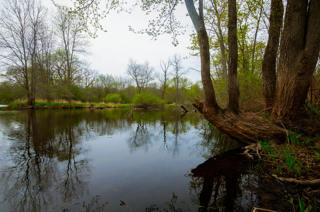
The Milwaukee River is a 104-mile-long river in Wisconsin that begins in Fond du Lac County and flows south past Grafton to downtown Milwaukee, where it empties into Lake Michigan. Once a locus of industry, the river is now the center of a housing boom, with new condos crowding the downtown and harbor districts of Milwaukee and young professionals being attracted to the area.
The river is ribboned with parks and features an extensive Riverwalk in downtown Milwaukee, with art displays, boat launches, and restaurants lining its banks. The Cedar Creek, Menomonee River, and Kinnickinnic River are the three main tributaries of the Milwaukee River.
Baraboo River
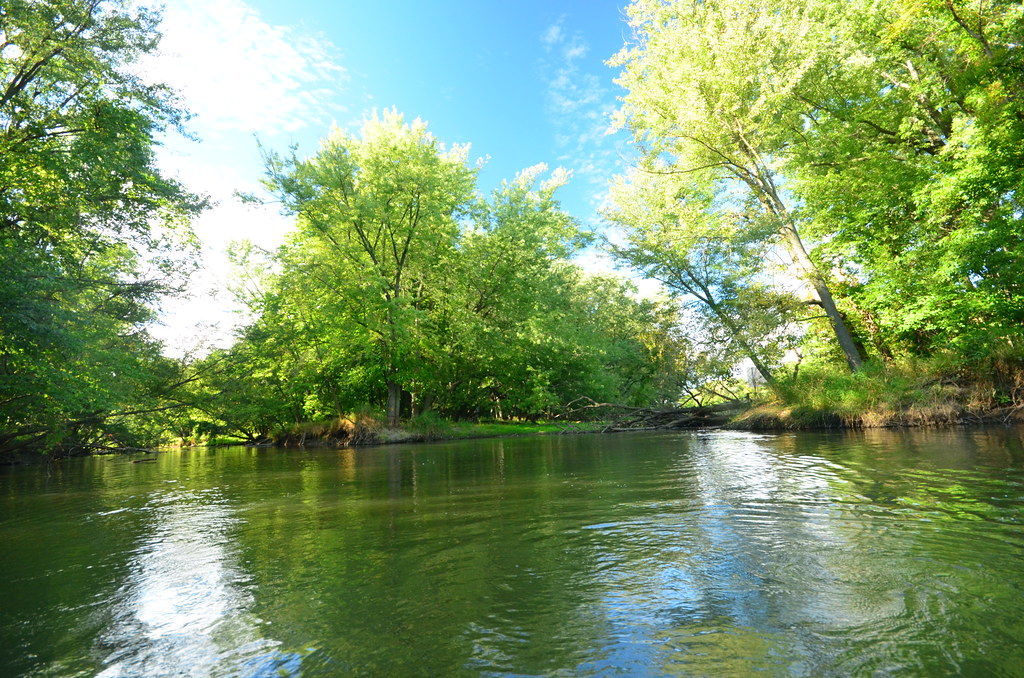
The Baraboo River is a 70-mile-long tributary of the Wisconsin River in south-central Wisconsin, named after a French trader in the area, Francois Barbeau.
The river rises in southeastern Monroe County and flows generally southeastwardly through Juneau, Sauk, and Columbia Counties, past various towns including Kendall, Elroy, Union Center, Wonewoc, La Valle, Reedsburg, Rock Springs, North Freedom, West Baraboo, and Baraboo. It is paralleled by the Elroy-Sparta Bike Trail in its upper course above Elroy and flows into the Wisconsin River from the west, about 3 miles south of Portage.
Kickapoo River

The Kickapoo River is a 126-mile-long tributary of the Wisconsin River in Wisconsin, named after the Kickapoo Indians who occupied Wisconsin before white settlers arrived in the early 19th century. The river flows south through a deep valley cut into the hilly Driftless Zone of southwest Wisconsin, beginning midway between Wilton and Mill Bluff State Park and emptying into the Wisconsin River just south of Wauzeka.
The river is very crooked, frequently doubling back on itself, and drains over 800 square miles of land in Monroe, Vernon, Richland, and Crawford counties. Its significant tributaries include Moore Creek, Billings Creek, the West Fork of the Kickapoo, Reads Creek, and Tainter Creek.
Lakes
Lake Winnebago

Lake Winnebago is the largest lake entirely within the state of Wisconsin, covering an area of about 30 miles by 10 miles with 88 miles of shoreline, an average depth of 15.5 feet, and a maximum depth of 21 feet. The lake has many shallow reefs along the west shore and a drop-off type shoreline on the east, with several islands along the west shore.
It has two primary tributaries, the Wolf and Fox Rivers, which combine at Lake Butte des Morts, and is part of a larger system of lakes in Wisconsin known as the Winnebago Pool. The Fox River flows east through Oshkosh and into Lake Winnebago at its west central shore, then flows out at the northwest shore, around Doty Island at Neenah-Menasha to Little Lake Butte des Morts, and then northeast and empties into Green Bay, serving as part of the Fox-Wisconsin Waterway.
Lake Michigan
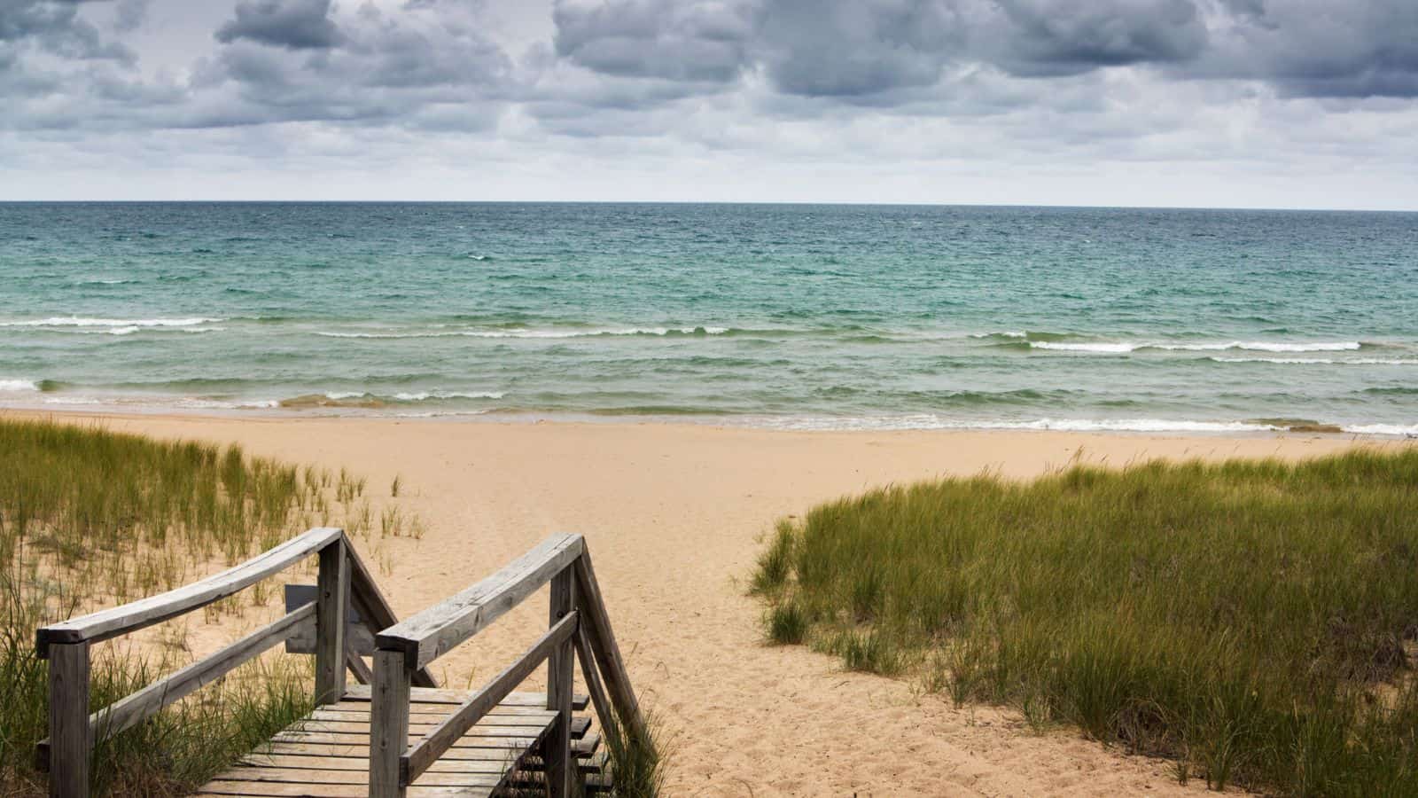
Lake Michigan is the only one of the five Great Lakes located fully within the United States, shared by the states of Wisconsin, Illinois, Indiana, and Michigan. It is the second-largest Great Lake by volume and the third-largest by surface area, after Lake Superior and Lake Huron.
The lake is flanked by long bays, including Green Bay in the northwest and Grand Traverse and Little Traverse bays in the northeast, and its ports include Chicago in Illinois, Gary in Indiana, Milwaukee and Green Bay in Wisconsin, and Muskegon in Michigan. The name “Michigan” is believed to come from the Ojibwe word ᒥᓯᑲᒥ (michi-gami or mishigami) meaning “great water”.
Lake Superior

Lake Superior is the largest freshwater lake in the world by surface area and the third-largest by volume, holding 10% of the world’s surface fresh water.
It is located in central North America, straddling the Canada–United States border with the Canadian province of Ontario to the north and east, the U.S. states of Minnesota to the west, and Wisconsin and Michigan to the south. The lake drains into Lake Huron via the St. Marys River, then through the lower Great Lakes to the St. Lawrence River and ultimately the Atlantic Ocean.
Petenwell Lake
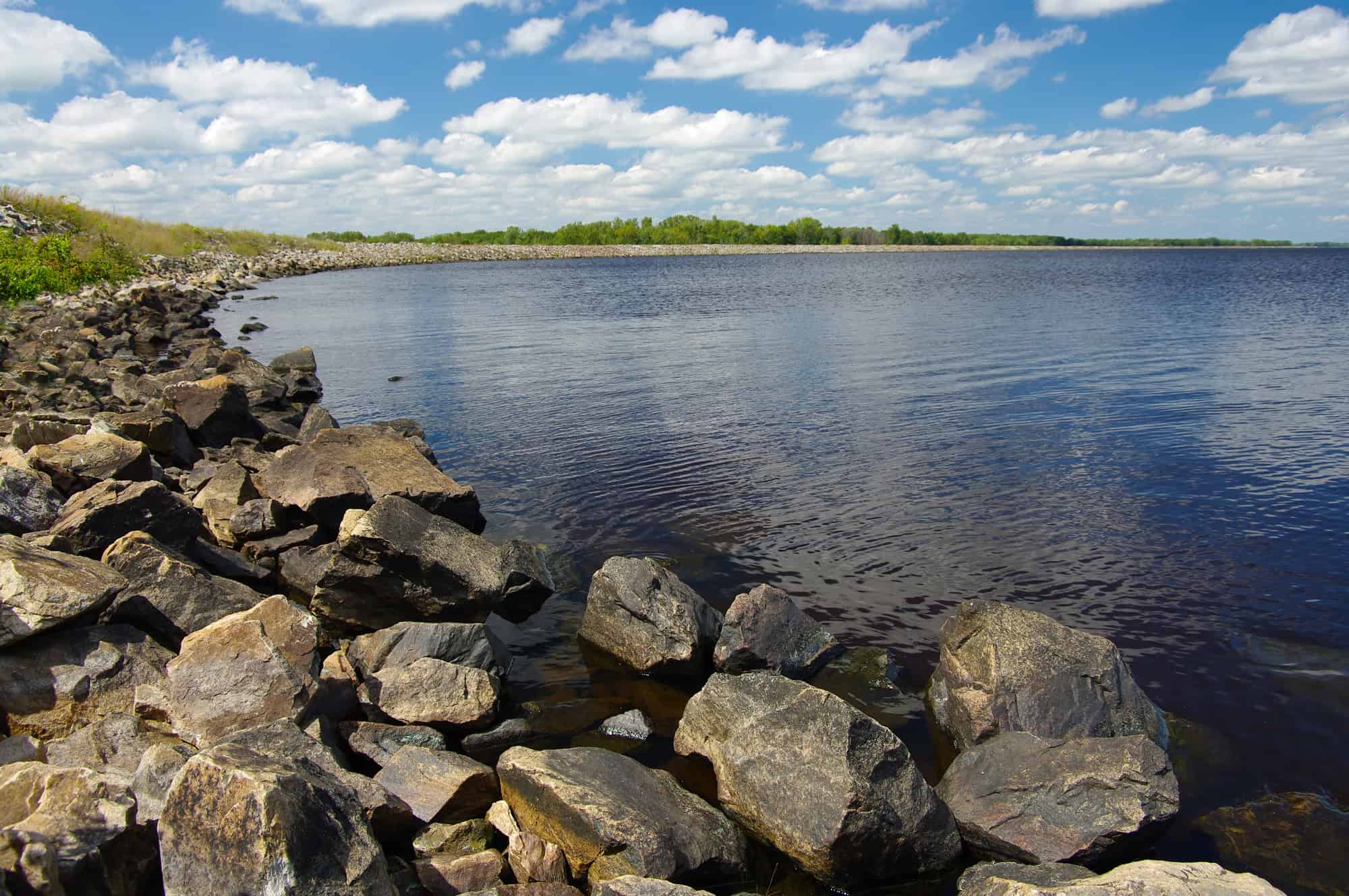
Lake Petenwell is Wisconsin’s second-largest lake, covering over 23,000 acres and located in Adams, Juneau, and Wood counties next to Castle Rock Lake. It was created in 1948 by the Wisconsin River Power Company with the construction of a dam across the Wisconsin River near Necedah and has a maximum depth of 42 feet.
The lake is used for skiing, sailing, and fishing, with game fish including walleye, northern pike, bass, panfish, and muskellunge. The area around the lake offers restaurants, a community theater, a golf course, and two casinos, while private lakefront property is very limited as most of the virgin shoreline is undeveloped forest, and wildlife includes wintering bald eagles.
Castle Rock Lake
Castle Rock Lake is the fourth largest lake in Wisconsin, covering 16,640 acres and located in Adams County and Juneau County. It has an inflow from Petenwell Lake, Yellow River, Big Roche a Cri, and Klien Creek, and its depth varies from 8-20 ft in most places, with areas in the old river beds reaching as deep as 35 ft.
The lake is home to a large variety of fish, birds, and other organisms, attracting many people to the area for recreational hobbies such as bird watching, boating, fishing, and recreational water sports. With approximately seventy miles of shoreline, Castle Rock Lake provides a great space for outdoor activities.
Lake Poygan

Lake Poygan is an expansive widening of the Wolf River, totaling over 14,000 acres, and located near the village of Winneconne in Wisconsin. It is part of the Winnebago Pool or Wolf Chain, a series of interconnected lakes fed by both the Fox and Wolf Rivers, with the eastern third of the lake often referred to as Lake Winneconne.
The lake is quite shallow, with an average depth of 6 feet and a maximum depth of approximately 11 feet, and is home to a variety of fish species, including walleye, muskellunge, white bass, largemouth bass, smallmouth bass, carp, flathead catfish, channel catfish, northern pike, crappie, yellow perch, bluegill, and sturgeon. Many anglers consider Lake Poygan to be one of the most productive fisheries in the entire Winnebago Pool.
Boaters can find navigable passage to Lake Butte des Morts and Lake Winnebago downstream (near Oshkosh), and upstream to Partridge Lake and Partridge Crop Lake (near Fremont and New London) via the Wolf River.
Willow Reservoir
The Willow Reservoir, also known as the Willow Flowage, is an artificial lake in Oneida County, Wisconsin, formed by a dam on the Tomahawk River.
It has a surface area of 6,306 acres when full and is controlled by the Wisconsin Valley Improvement Company as part of regulating the overall flow of the upper Wisconsin River. The reservoir also receives inflows from other major sources such as the Willow River and Swampsauger Creek.
Lake Du Bay
Lake DuBay is a reservoir on the Wisconsin River in Marathon and Portage Counties in Wisconsin, covering an area of 6,700 acres and having a maximum depth of 30 feet. It is used for hydroelectric power generation, with a dam on the lake.
The community of Knowlton is located on the shore of the lake, as are 122 homes and three parks, and the lake is accessible via Interstate 39 and U.S. Route 51, as well as several county highways. In winter, the lake is frozen and is used for ice racing by the “Winter Thunder Club”.
Lake Koshkonong
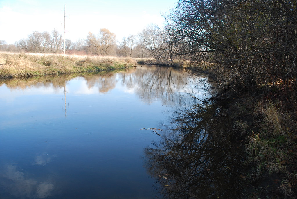
Lake Koshkonong is a naturally occurring lake in southern Wisconsin, which acts as a reservoir and was augmented in size by the creation of the Indianford Dam in 1932. The lake lies along the Rock River, with the river acting as both the primary inflow and the primary outflow for the lake.
After the creation of the Indianford Dam, the lake has had a surface area measuring 10,460 acres and remains very shallow with an average depth of six feet and a maximum depth of seven feet. The dam itself measures 13 feet high and with a length of 500 ft at its crest, and both the dam and reservoir are owned and operated by Rock County.
Beaver Dam Lake
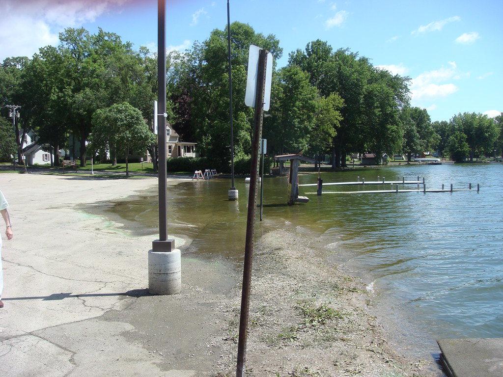
Beaver Dam Lake is a 6,718-acre lake located in Dodge County, Wisconsin, bordered by the communities of Beaver Dam, South Beaver Dam, Sunset Beach, Beaver Edge, and Fox Lake Junction. The lake is created by a dam located in the City of Beaver Dam at Haskell Street and flows into the Beaver Dam River.
There are seven public boat landings and numerous parks along the lake shore, with Panfish, Largemouth Bass, Northern Pike, and Walleye present in the lake. Water from Fox Lake flows through the Mill Creek into Beaver Dam Lake.
Lake Mendota
Lake Mendota is the northernmost and largest of the four lakes in Madison, Wisconsin, bordering the city on the north, east, and south. It is a freshwater eutrophic lake that acquired its present name in 1849 following a proposal by a surveyor named Frank Hudson, who claimed to be familiar with local Native American languages.
The lake also borders Middleton on the west, Shorewood Hills on the southwest, Maple Bluff on the northeast, and Westport on the northwest. According to Lyman C. Draper, the first corresponding secretary of the Wisconsin Historical Society, ‘Mendota’ could have been a Chippewa word meaning ‘large’ or ‘great.’


