In the heart of the Southern United States lies a hidden mosaic of waterways that have woven themselves into the very fabric of Arkansas. This landlocked state, often celebrated for its lush forests and rolling hills, holds a secret: a network of rivers and lakes that crisscross its landscapes, adding a unique dimension to its natural beauty.
From the tranquil ripples of its serene lakes to the spirited currents of its meandering rivers, Arkansas offers a diverse range of aquatic experiences waiting to be explored. In this article, we embark on a captivating journey through the enchanting waterscapes of Arkansas, discovering the historical significance, recreational allure, and ecological importance of these liquid lifelines.
Join us as we navigate the twists and turns of knowledge, immersing ourselves in the stories that flow through the veins of the Natural State’s rivers and lakes.
Printable Arkansas Lakes and Rivers Map
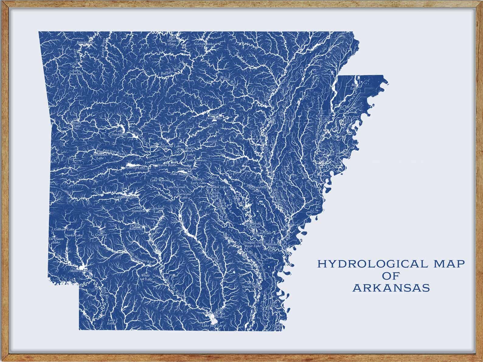
Rivers
Arkansas River
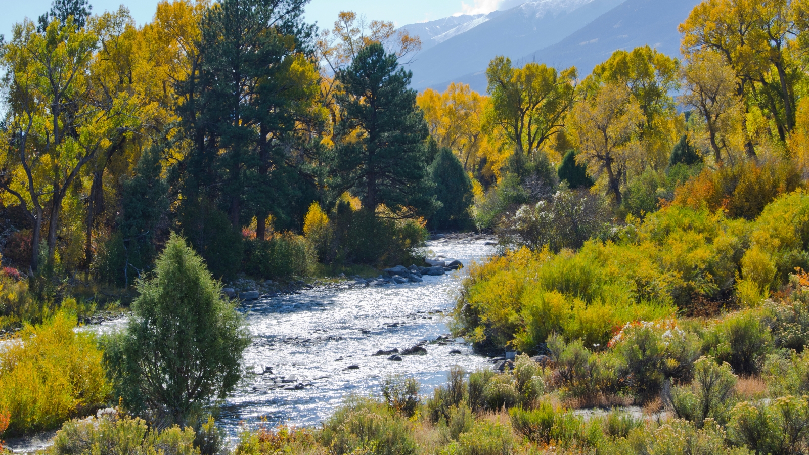
The Arkansas River is a major tributary of the Mississippi River, flowing east and southeast as it traverses the U.S. states of Colorado, Kansas, Oklahoma, and Arkansas. At 1,469 miles, it is the sixth-longest river in the United States, the second-longest tributary in the Mississippi-Missouri system, and the 45th-longest river in the world.
The river’s source basin lies in Colorado, specifically, the Arkansas River Valley, and its drainage basin covers nearly 170,000 square miles. The Arkansas River formed part of the U.S.-Mexico border until the Texas Annexation or Treaty of Guadalupe Hidalgo.
White River

The White River is a 722-mile river that flows through the U.S. states of Arkansas and Missouri. The river originates in the Boston Mountains of northwest Arkansas, in the Ozark-St. Francis National Forest southeast of Fayetteville, and flows northwards from its source to loop through southwest Missouri before heading southeast through Arkansas to its mouth on the Mississippi River.
Near Batesville, Arkansas, the river becomes navigable to shallow-draft vessels, and its speed decreases considerably, with the final 10 miles serving as the last segment of the McClellan-Kerr Arkansas River Navigation System.
Black River
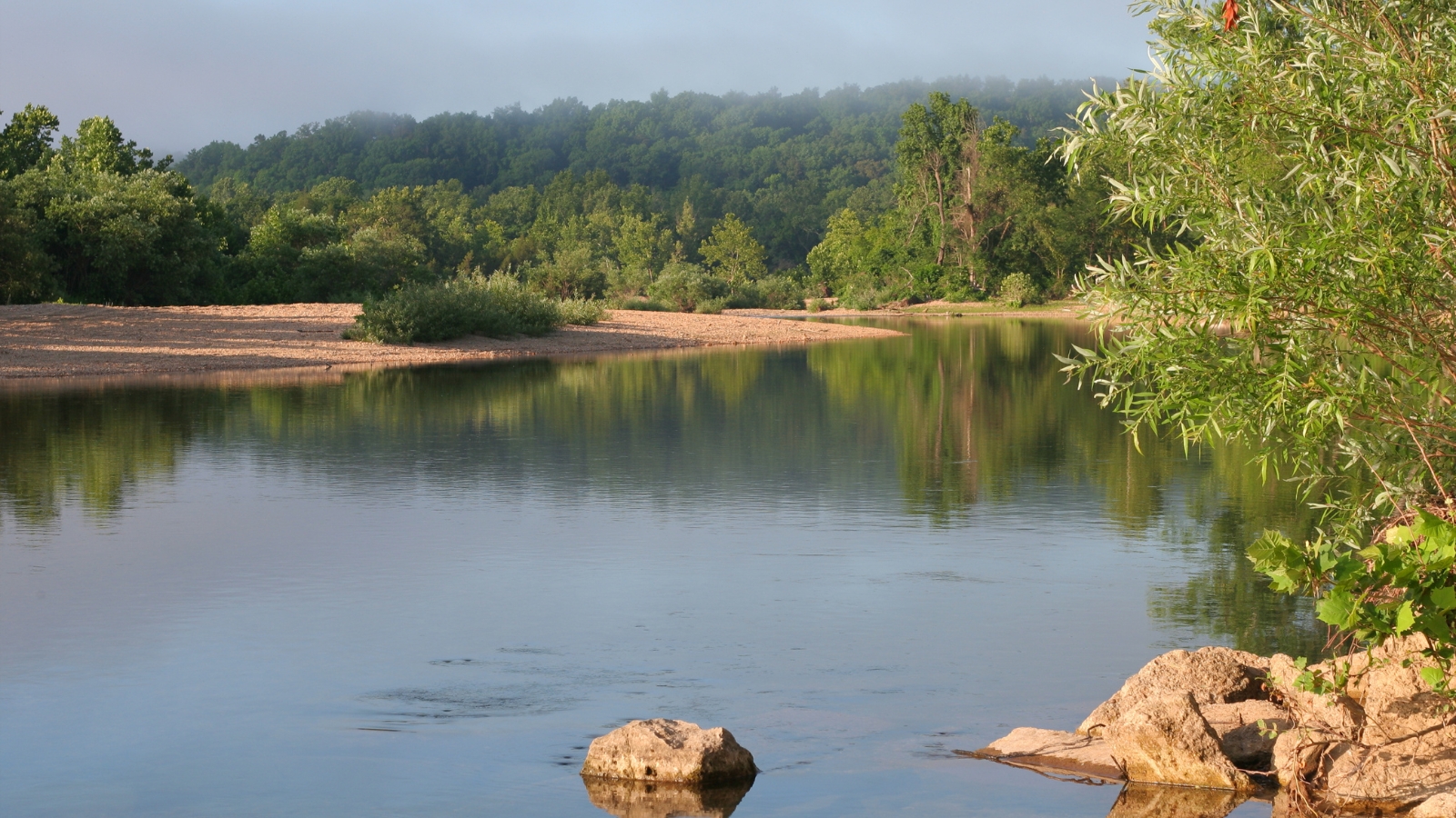
The Black River is a tributary of the White River, about 300 miles long, in southeastern Missouri and northeastern Arkansas, and is part of the Mississippi River watershed.
The river was named for the black tint of its water, and Black River Technical College is named for the river.
Cache River
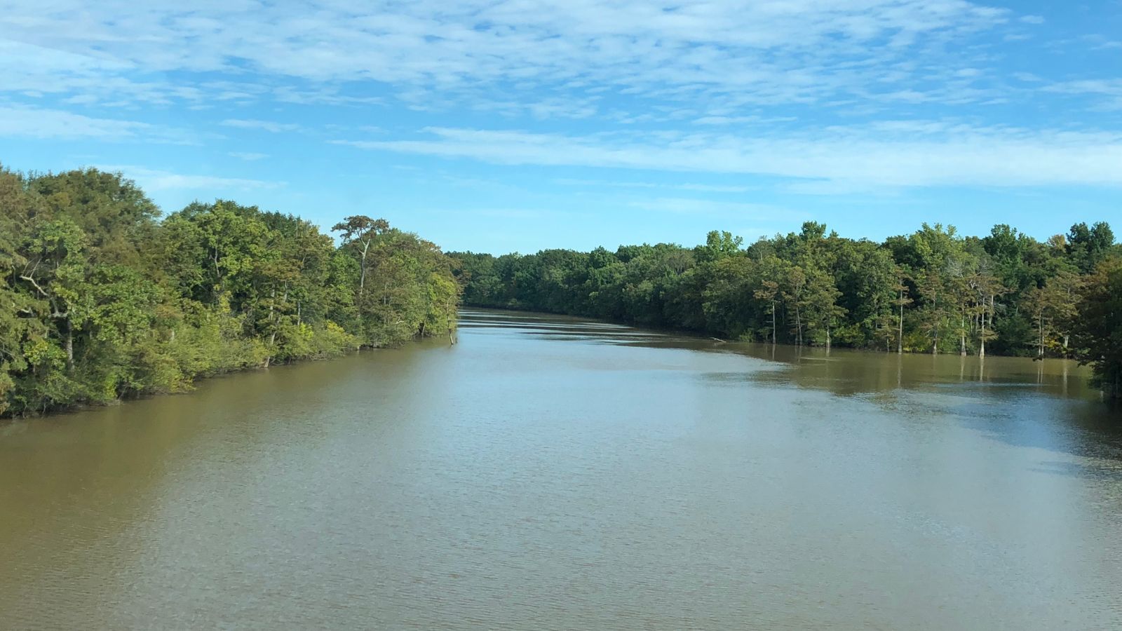
The Cache River is a tributary of the White River, 213 miles long, in northeastern Arkansas and southeastern Missouri, and is part of the Mississippi River watershed. The river supports a diverse ecosystem, including 53 mammalian species, over 200 bird species, and nearly 50 species of reptiles and amphibians, and the watershed contains the largest remaining tract of contiguous bottomland hardwood forest found in North America.
The Cache River National Wildlife Refuge was created along approximately 90 miles along the river’s lower reaches to protect this unique ecosystem. The river is a slow muddy river with meandering channels, sloughs, swampy areas, and oxbow lakes.
St. Francis River

The St. Francis River is a 426-mile tributary of the Mississippi River, flowing through southeastern Missouri and northeastern Arkansas. The river rises in a region of granite mountains in Iron County, Missouri, and forms part of the Missouri-Arkansas state line along the western side of the Missouri Bootheel.
The river passes through Lake Wappapello, meanders through cane forests and willow wetlands, and is part of a navigation and flood-control project that encompasses a network of diversion channels and ditches along it and the Castor and Little rivers. The St. Francis River is also joined by several tributaries, including the Little River, the Little St. Francis River, the Tyronza River, and the L’Anguille River.
Ouachita River
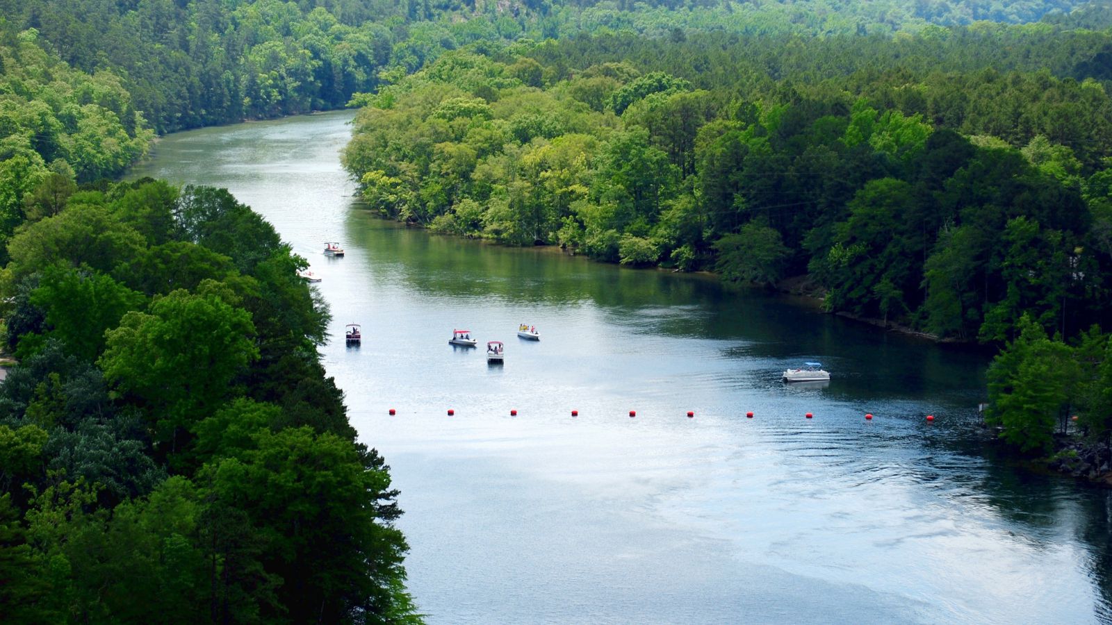
The Ouachita River is a 605-mile-long river that runs south and east through the U.S. states of Arkansas and Louisiana, joining the Tensas River to form the Black River near Jonesville, Louisiana.
The river begins in the Ouachita Mountains near Mena, Arkansas, and flows east into Lake Ouachita, a reservoir created by Blakely Mountain Dam, before flowing south into Lake Hamilton, a reservoir created by Carpenter Dam. The Ouachita River has five locks and dams along its length, located at Camden, Calion, and Felsenthal, Arkansas, and in Columbia and Jonesville, Louisiana.
Saline River
The Saline River is an 80-mile-long tributary of the Little River in southwestern Arkansas and is part of the watershed of the Mississippi River.
The river rises in the Ouachita Mountains in southeastern Polk County, flows generally south through Howard County and along Howard County’s boundary with Sevier County, and enters the Little River as part of Millwood Lake, which is formed by another USACE dam on the Little River. Dierks Lake, formed by a U.S. Army Corps of Engineers dam, is also located along the Saline River.
Red River
The Red River, or the Red River of the South, is a major river in the Southern United States, named for its reddish water color from passing through the red-bed country in its watershed.
It is the second-largest river basin in the southern Great Plains, rising in two branches in the Texas Panhandle and flowing east, where it serves as the border between the states of Texas and Oklahoma, forms a short border between Texas and Arkansas before entering Arkansas, and feeds the Atchafalaya River in Louisiana. Although once a tributary of the Mississippi River, the Red River is now a tributary of the Atchafalaya River, a distributary of the Mississippi that flows separately into the Gulf of Mexico.
Little Missouri River
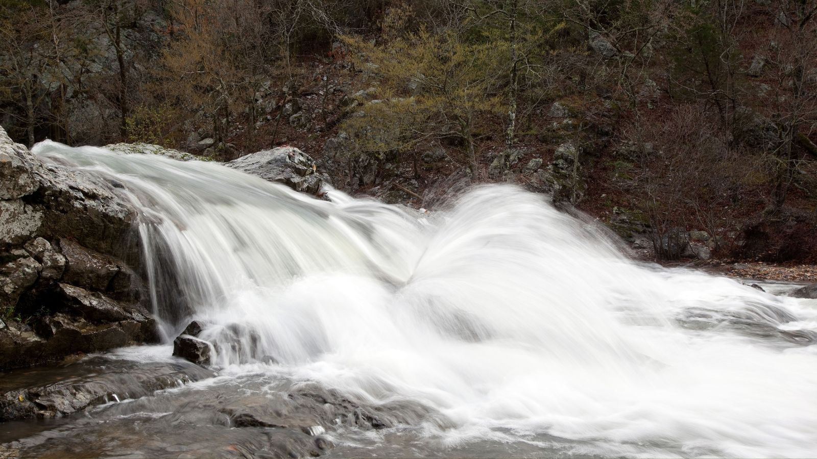
The Little Missouri River is a 147-mile-long waterway that runs from the Ouachita Mountains of southwest Arkansas into the rolling hills area in the surrounding countryside. It is a rocky mountain river that flows through narrow forested canyons, with numerous small waterfalls, crystal clear water, and outstanding scenery including towering rocky bluffs crowned with pine.
The Little Missouri River is dammed by Narrows Dam and forms Lake Greeson, and the upper stretches of the river above the lake are excellent for experienced canoers, with a 4.4-mile-long segment designated as a wild river. The Little Missouri River is also a superior fishing stream for rainbow trout, green sunfish, longear sunfish, smallmouth bass, spotted bass, and other species.
Fourche River
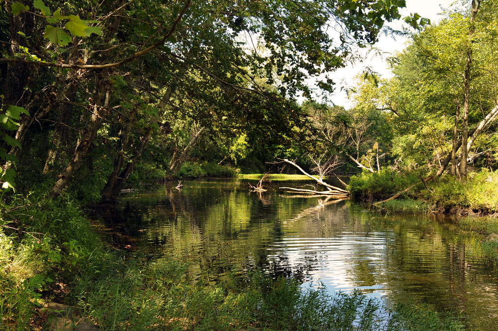
The Fourche River is a 32.4-mile-long tributary of the Black River in Northeast Arkansas, and its source is the confluence of Fourche Creek and the West Fork of the Fourche Creek in Ripley County, Missouri.
The Fourche River flows through both Missouri and Arkansas, ending in Randolph County, Arkansas near Pocahontas at its confluence with the Black River. It should not be confused with other streams in Arkansas with similar names, such as the Fourche La Fave River and the Fourche Creek.
Fourche La Fave River
The Fourche La Fave River is a 151-mile-long tributary of the Arkansas River in western Arkansas, draining part of the northern Ouachita Mountains west of Little Rock. It rises in southern Scott County south of Waldron and flows east-northeast through the Ouachita National Forest, past Perryville, and joining the Arkansas River from the west approximately 25 miles northwest of Little Rock.
The river is impounded by the Nimrod Dam at Fourche Junction to form Nimrod Lake for flood control, and it is joined by the South Fourche La Fave River west of Perryville. The river was named for the La Feve family who settled near its mouth, with “Fourche” being French for “fork”.
Petit Jean River
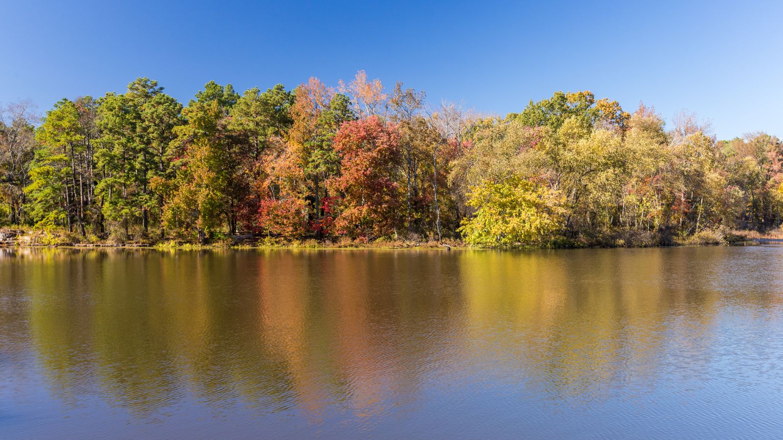
The Petit Jean River is a 113-mile-long river located entirely within the Arkansas River Valley, rising in the Ouachita Mountains in northern Scott County and flowing through Logan County and Yell County, defining the border between Yell County and Conway County before reaching its mouth at the Arkansas River north of Petit Jean State Park.
Blue Mountain Lake, created when the river was dammed in 1947, straddles the border between Logan and Yell Counties. The river is named after a French woman, according to local legend, who followed a lover to America and was nicknamed “Petit Jean” due to her size. The highest river level recorded occurred in April 1939 with a height of 31.8 feet through the gauge, giving a corresponding flow of 70,800 cubic feet per second.
Kings River

The Kings River is a tributary of the White River that rises in the Boston Mountains of Arkansas and flows northward for over 90 miles into Table Rock Lake in Missouri. The Arkansas portion of the river is undammed and bordered by rural and forested land, making it popular for paddling and sport fishing.
The river follows a meandering course with the confluence with the White River being almost due north of the source, and tributaries of the Kings River include Felkins Creek, Maxwell Creek, Pine Creek, Dry Fork Creek, and Osage Creek.
Spring River

The Spring River is a 57-mile-long river that flows through Missouri and Arkansas, consisting of two branches, the South Fork of the Spring River and the Spring River proper. The Spring River proper begins where Mammoth Spring and Warm Fork of the Spring River merge at Mammoth Spring State Park in Mammoth Spring, Arkansas, and is kept cool during warmer months due to being predominantly spring-fed with water averaging 58 °F.
The Spring River is a popular destination for tourists, canoers, and for riding inner tubes, with a diverse population of fish including trout, walleye, largemouth and smallmouth bass, channel catfish, redear sunfish, and tiger muskies.
Little Red River
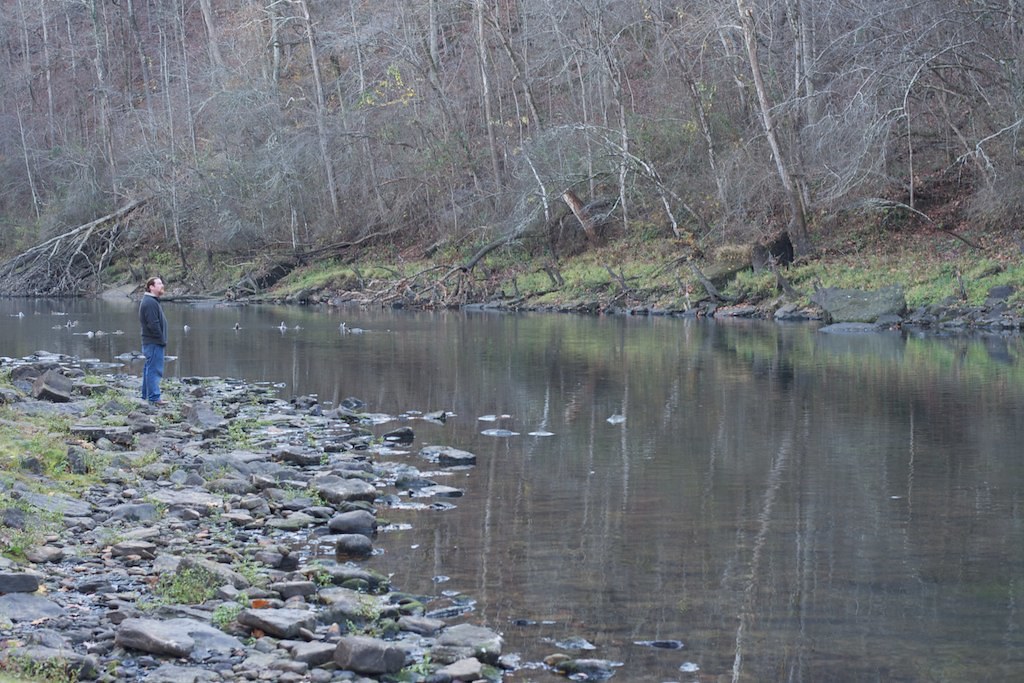
The Little Red River is a 102-mile-long river in north-central Arkansas, flowing through White, Van Buren, Searcy, Stone, and Cleburne counties. Its upper tributaries are known as the South Fork, the Middle Fork, and the Devil’s Fork, which converge into the north section of Greers Ferry Lake before flowing again at the Greers Ferry Dam at Heber Springs.
During the American Civil War, the Battle of Whitney’s Lane took place near Searcy on the banks of the Little Red River.
L’Anguille River

L’Anguille River is a tributary of the St. Francis River, approximately 110 miles long, in northeastern Arkansas, and part of the Mississippi River watershed. The river’s name is derived from French, meaning “the eel”.
The L’Anguille is formed south of Jonesboro in southern Craighead County by a confluence of agricultural ditches, and it flows generally southward through Poinsett, Cross, St. Francis, and Lee Counties, parallel to Crowley’s Ridge, before joining the St. Francis River in eastern Lee County.
Mulberry River
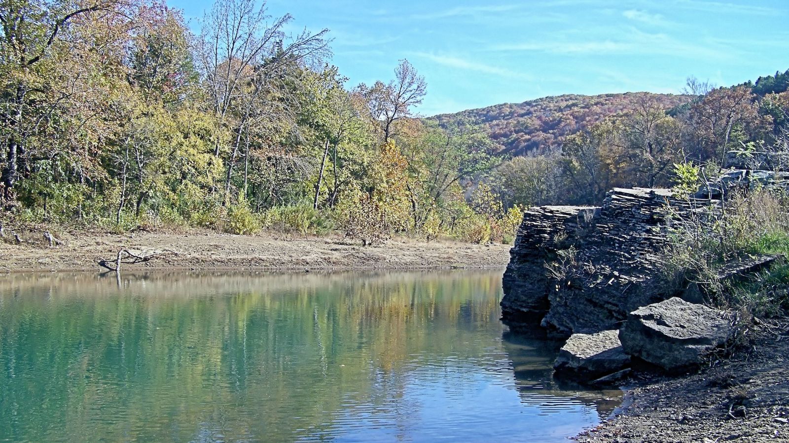
The Mulberry River is a 70-mile-long tributary of the Arkansas River in northwestern Arkansas, part of the watershed of the Mississippi River, and has been designated a National Wild and Scenic River.
The river flows for most of its length through the Ozark National Forest in the Ozarks, rising in southwestern Newton County and initially flowing generally westwardly through Johnson and Franklin counties before turning southward into the valley of the Arkansas River and flowing past the town of Mulberry, joining the Arkansas about 3 miles south of Mulberry, on the common boundary of Franklin and Crawford counties.
Strawberry River
The Strawberry River is a tributary of the Black River, about 115 miles long, in northern Arkansas and part of the watershed of the Mississippi River.
The river rises in eastern Fulton County and flows generally southeastwardly through Izard, Sharp, and Lawrence counties before joining the Black River in the northeastern extremity of Independence County, 10 miles north of Tuckerman. A minor headwater tributary of the Strawberry River is known as the Little Strawberry River.
Cossatot River
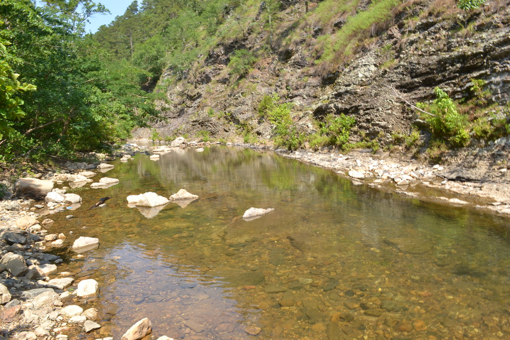
The Cossatot River is an 89-mile-long river in Howard, Polk, and Sevier counties in Arkansas, beginning in the Ouachita Mountains southeast of Mena and flowing through the Ouachita National Forest before emptying into Gillham Lake.
The river’s name comes from an Indian term that translates roughly to skull crusher, and it is known as a difficult (class II – IV+) whitewater stream to canoeists and kayakers, with Cossatot Falls in Howard County being called “the most challenging section of whitewater between the Smokies and the Rockies.” An 11-mile section including Cossatot Falls is designated as the Cossatot River State Park-Natural Area.
Caddo River
The Caddo River is a tributary of the Ouachita River in Arkansas, about 82 miles long, flowing out of the Ouachita Mountains through Montgomery, Pike, and Clark counties before flowing into DeGray Lake and then to its terminus at the Ouachita River north of Arkadelphia.
The upper Caddo is known as a good family canoeing river and is a popular destination for fishing, with smallmouth and spotted bass, as well as longear and green sunfish found in quantity. The lower course of the Caddo, below Degray Dam, is also a popular fishing and canoeing river, although the length of river remaining is only a few miles at that point.
Lakes
Bull Shoals Lake
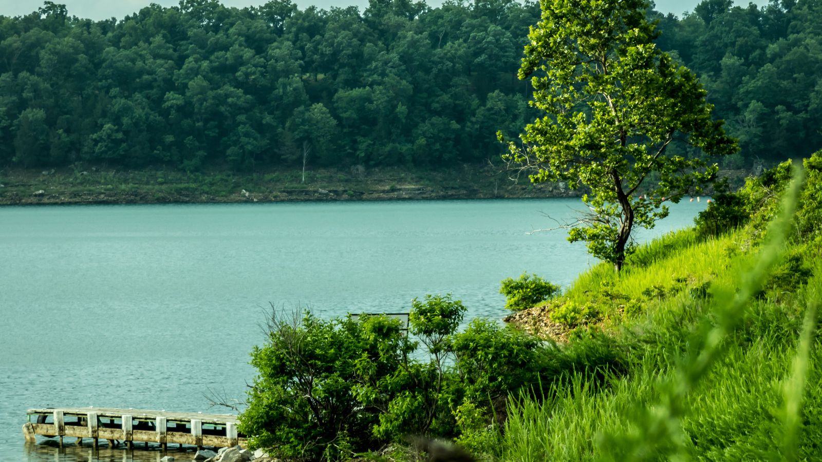
Bull Shoals Lake is an artificial lake or reservoir in the Ozark Mountains of northern Arkansas and southern Missouri, United States, with hundreds of miles of lake arms and coves, and common activities include boating, water sports, swimming, and fishing.
The lake impounds the White River for the last time as water travels toward its mouth on the Mississippi River, and it is controlled by the Army Corps of Engineers with the primary purpose of flood control. The shoreline of the lake is undeveloped and protected by a buffer zone owned, operated, managed, and controlled by the Army Corps of Engineers, with nineteen developed parks around the shoreline providing campgrounds, boat launches, swim areas, and marinas.
Norfork Lake

Norfork Lake is a popular destination in Arkansas, covering 22,000 acres with more than 550 miles of shoreline and 19 recreational parks providing camping, hiking, picnicking, swimming, boating, and water skiing opportunities.
The lake is located mostly in Baxter County, Arkansas, with its northernmost portion in Ozark County, Missouri, and offers a variety of freshwater game fish such as bass, crappie, walleye, catfish, and bream. Below the dam, North Fork River has a superb population of trout, which is maintained by the Norfork National Fish Hatchery.
Beaver Lake
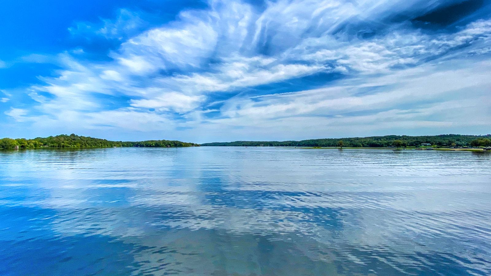
Beaver Lake is a popular tourist destination in the Ozark Mountains of Northwest Arkansas, formed by a dam across the White River and boasting some 487 miles of shoreline with towering limestone bluffs, natural caves, and a wide variety of trees and flowering shrubs.
It is also the source of drinking water in Northwest Arkansas, managed, treated, and sold by Beaver Water District, serving more than 450,000 customers, with one out of 7 people in Arkansas getting their drinking water from Beaver Lake.
Greers Ferry Lake
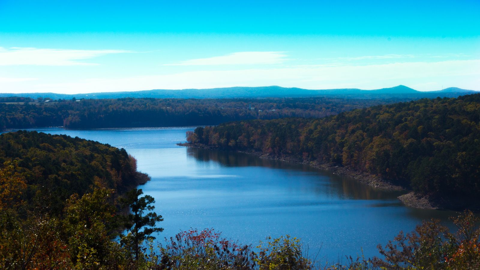
Greers Ferry Lake is a reservoir in Northern Arkansas formed by Greers Ferry Dam, with a combined shoreline of just over 340 miles and an area of about 40,500 acres, consisting of two lakes connected by a water-filled gorge called the Narrows. In the 1800s, the area was home to the town of Higden, which was purchased and abandoned due to constant flooding, with the town since re-established on a nearby hill.
The lake is also known for the annual Greers Ferry Lake & Little Red River Association litter cleanup started by former resident engineer Carl Garner, which led to the development of the Great Arkansas Cleanup in 1990.
DeGray Lake
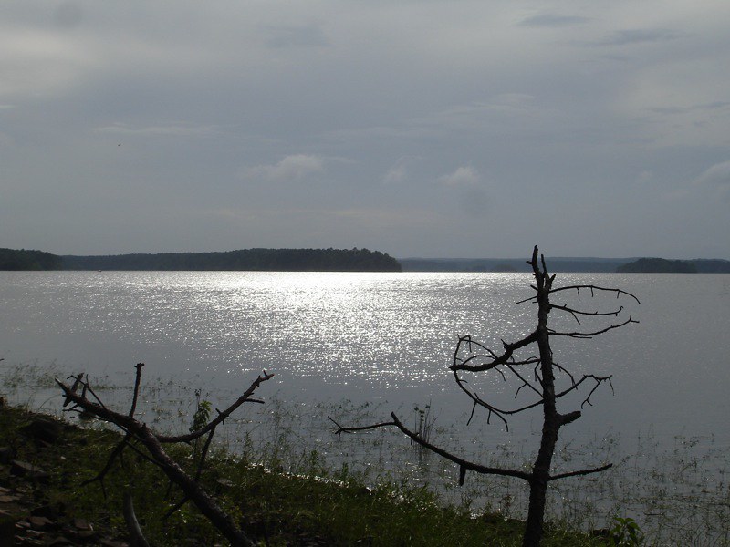
DeGray Lake is a reservoir on the Caddo River in Arkansas, constructed by the United States Army Corps of Engineers, with Arkansas Scenic Byway 7 located on the eastern shore of the lake, providing views of the lake and places to stay.
The DeGray Dam project includes flood-control, power, and water-supply features, with the DeGray Lake Resort State Park opened in 1974 to encourage tourism and recreation on the lake. The project plan includes the construction of the DeGray Dam with a height of 240 feet above the Caddo River, a dike, an outlet works, an uncontrolled spillway, and a powerhouse.
Millwood Lake

Millwood Lake in Arkansas is a popular destination for fishing and birding, with its 35,000 acres of submerged timber providing homes for a variety of fish species, including the indigenous Millwood lunker largemouth bass.
The lake also houses the biggest alligator in Arkansas, caught in 2012, and is home to a diverse range of fauna, including white-tailed deer, bobwhite quail, and American gator, among others. While boating is popular on the lake, only a small part of the surface area can be used due to the submerged timber that takes up 30,000 acres of the pond.
Lake Greeson
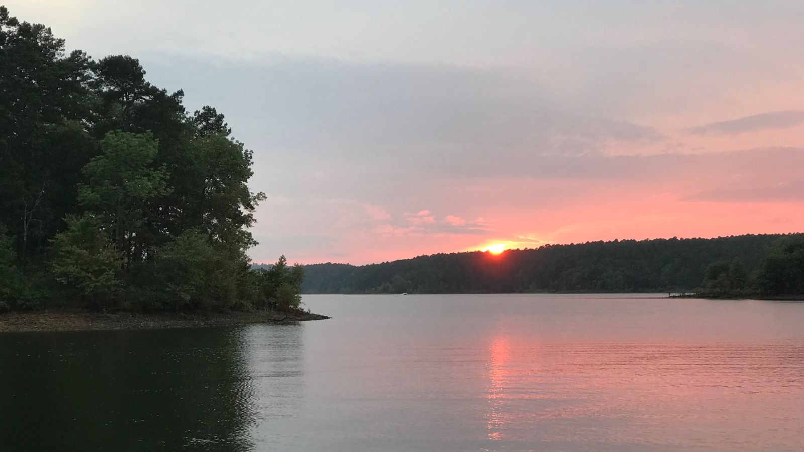
Lake Greeson in Arkansas is a popular destination for recreation and is surrounded by 15 parks offering opportunities for camping, fishing, boating, biking, and swimming. The lake is created by Narrows Dam and named after developer Martin White Greeson, with Daisy State Park also located within its boundaries.
The lake is known for its rich variety of fish, including striped bass, largemouth, spotted, white bass, flathead, and channel catfish, as well as other game species such as rabbits, squirrels, bobwhite quail, and whitetail deer. Lake Greeson also provides walking, nature, and cycling trails for public use, with the Bear Creek Cycle Trail offering riders 31 miles of breathtaking beauty around the lake.
Lake Hamilton

Lake Hamilton in Arkansas is a 7,200-acre reservoir located on the Ouachita River near Hot Springs, named after Hamilton Moses, the former president and chairman of the board for Arkansas Power and Light.
The lake was created in 1932 as a result of Carpenter Dam, which generates hydroelectric power and has since functioned as a recreational site, attracting tourists and spurring the development of resorts, restaurants, and motels in its area, along with various water sports facilities. The Garvan Woodland Gardens, a 210-acre botanical park, is located along the lake’s shore, and Carpenter Dam was listed on the National Register of Historic Places in 1992.
Lake Maumelle
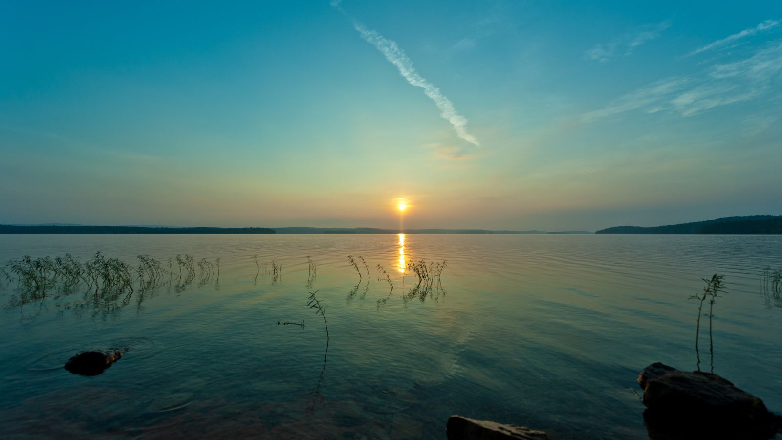
Lake Maumelle is a man-made lake covering 8,900 acres in Pulaski County, central Arkansas, and is one of the primary drinking water sources for Little Rock.
The lake was created in the late 1950s by damming the Big Maumelle River, with construction beginning in 1956 and water flowing into the system in 1958. While the lake is primarily used for drinking water, it is also locally popular for boating and fishing.
Lake Dardanelle
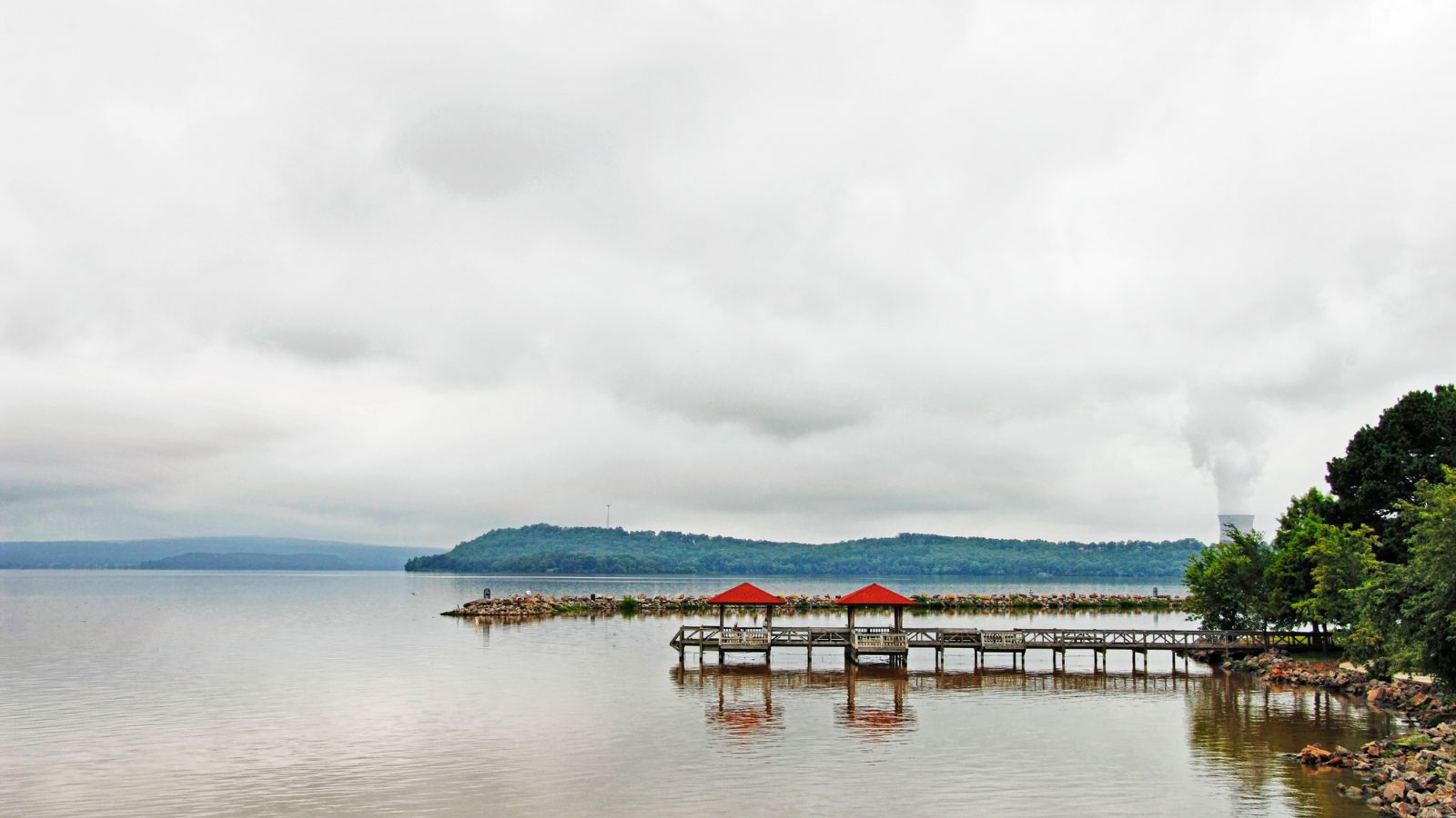
Lake Dardanelle is a major reservoir on the Arkansas River in Arkansas, USA, and an integral part of the McClellan-Kerr Arkansas River Navigation System, allowing barge transportation from the Mississippi River to the Tulsa Port of Catoosa.
Covering nearly 40,000 acres with abundant opportunities for boating, fishing, picnicking, camping, and scenic views, the lake extends from Dardanelle Lock and Dam near Dardanelle into Pope, Yell, Logan, Johnson, and Franklin Counties. The lake has 315 miles of shoreline and is home to the only nuclear power plant in Arkansas, Arkansas Nuclear One, located on the northeastern shore of Lake Dardanelle.

