Amid the towering trees and the misty landscapes of the Evergreen State, a unique narrative unfurls—a story not just in its natural beauty but also in the sinuous flow of its rivers and the reflective calm of its lakes.
Washington, celebrated for its Pacific Northwest allure and innovative spirit, cradles within its embrace a hidden treasure—a network of waterways that mirror its legacy of exploration and environmental stewardship.
Like whispered conversations among the trees, Washington’s rivers and lakes carry tales of sustenance, trade, and the harmonious relationship between its inhabitants and the wilderness.
In this article, we embark on a journey that follows the currents of Washington’s rivers and gazes upon the mirrored surfaces of its lakes.
Join us as we unveil the significance of these aqueous movements and how the water has woven itself into the very symphony of the Evergreen State’s captivating narrative!
Printable Washington Lakes and Rivers Map
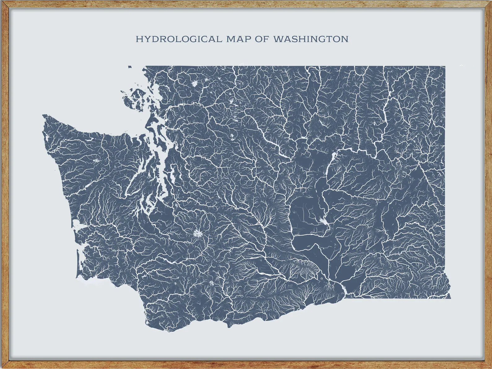
River Map
Quinault River

The Quinault River is a 69-mile-long river located on the Olympic Peninsula in the U.S. state of Washington, originating deep in the mountains of the Olympic National Park.
The river flows southwest through the “Enchanted Valley” to opposite Quinault Canyon and is joined by its main tributary, the North Fork Quinault River, several miles above the lake of the same name.
The river’s drainage basin is 188 square miles in area, and its main tributaries include the North Fork Quinault River, Graves Creek, Fox Creek, and Cook Creek.
The East Fork of the Quinault River is a well-maintained trail that follows the river from Graves Creek to the Enchanted Valley Ranger Station through old-growth rainforest.
In early summer, snowmelt creates many waterfalls in the valley, giving it the name “Valley of a Thousand Waterfalls.”
Cowlitz River
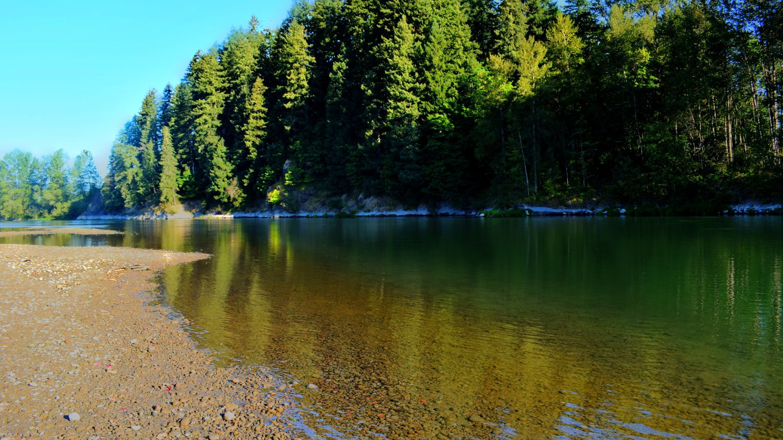
The Cowlitz River is a tributary of the Columbia River and is located in the state of Washington. Its tributaries drain a large region, including the slopes of Mount Rainier, Mount Adams, and Mount St. Helens.
There is a 2,586-square-mile drainage basin located between the Cascade Range in eastern Lewis County, Washington, and the cities of Kelso and Longview.
The river is roughly 105 miles long, not counting tributaries, and major tributaries include the Cispus River and the Toutle River, which was overtaken by volcanic mudflows during the May 1980 eruption of Mount St. Helens.
Kelso, Washington is known as the “Smelt Capital of the World” when the smelt spawns in the Cowlitz River, and the gulls go into a feeding frenzy that lasts for weeks.
Columbia River
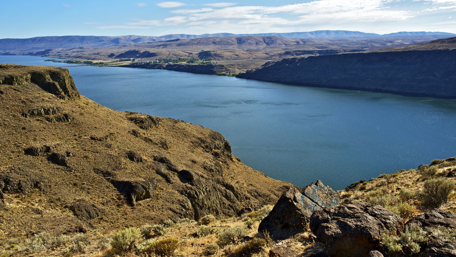
The Columbia River is the largest river in the Pacific Northwest region of North America, forming in the Rocky Mountains of British Columbia, Canada, and flowing northwest and then south into the U.S. state of Washington.
The river turns west to form most of the border between Washington and the state of Oregon before emptying into the Pacific Ocean.
This river runs a length of 1,243 miles and has a drainage basin roughly the size of France (can you believe it?) that extends into seven US States and one Canadian province.
Interestingly, the river system has been central to the region’s culture and economy for thousands of years.
It was used for transportation during ancient times and hosts many species of anadromous fish, especially the salmon species, which provided the core subsistence for early indigenous peoples.
Skagit River
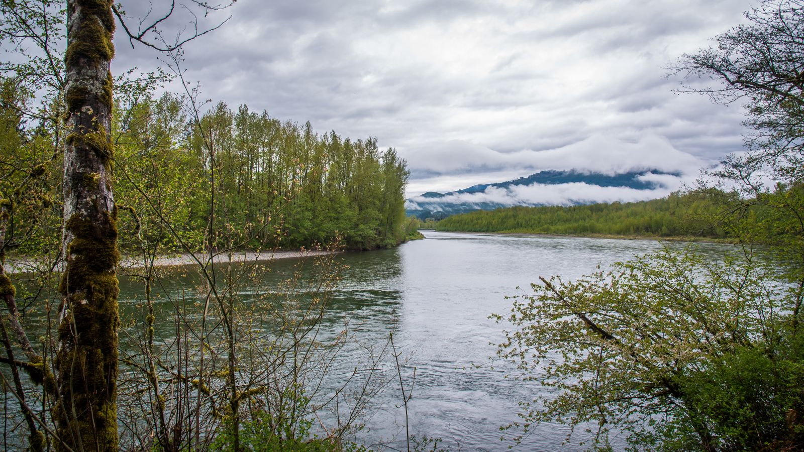
The Skagit River is a 150-mile-long river that flows through southwestern British Columbia and northwestern Washington, draining an area of 1.7 million acres of the Cascade Range along the northern end of Puget Sound and flowing into the sound.
The Skagit watershed is characterized by a temperate, mid-latitude, maritime climate, with temperatures ranging widely throughout the watershed.
Temperatures at Newhalem range from a low of −6 °F to a high of 109 °F, with greater extremes likely in the mountains, and the highest temperatures are commonly recorded in July while the lowest is in January.
Snake River
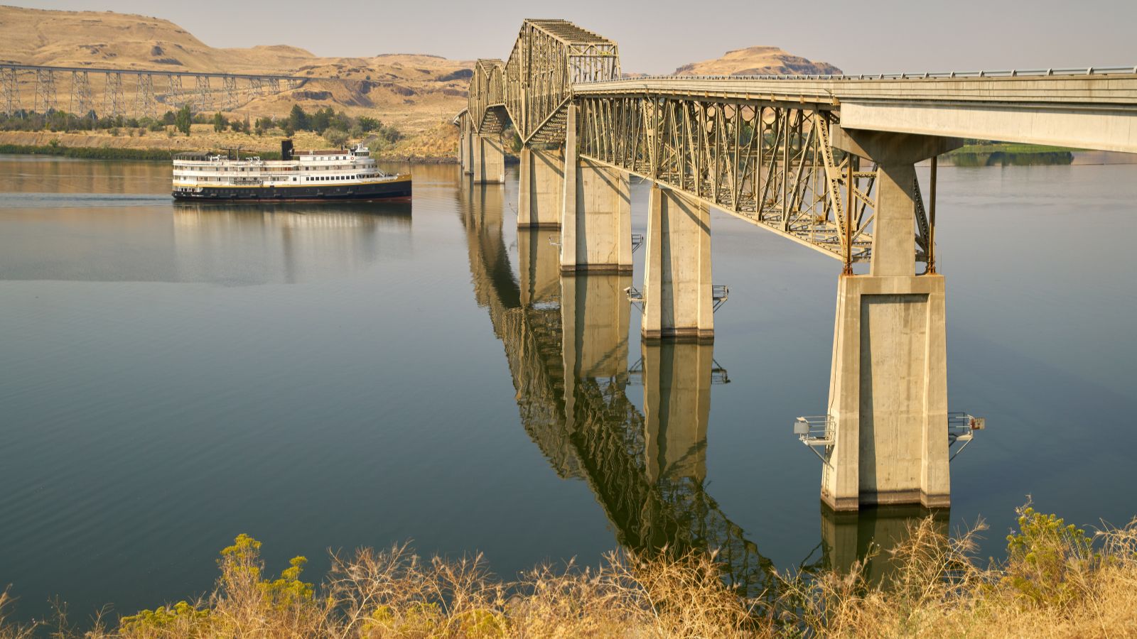
The Snake River is the largest tributary of the Columbia River, flowing through the Snake River Plain of southern Idaho, the rugged Hells Canyon on the Oregon-Idaho border, and the rolling Palouse Hills of Washington before emptying into the Columbia River at the Tri-Cities in the Columbia Basin of Eastern Washington.
At 1,078 miles long, the Snake River is a major river of the greater Pacific Northwest region of the US, and its drainage basin encompasses parts of six US states.
The Snake River Plain was created by a volcanic hotspot that now lies underneath the Snake River headwaters in Yellowstone National Park, and gigantic glacial-retreat flooding episodes during the previous Ice Age carved out canyons, cliffs, and waterfalls along the middle and lower Snake River.
There have also been two catastrophic flooding events, the Missoula Floods and the Bonneville Flood, significantly affecting the river and its surroundings.
Spokane River
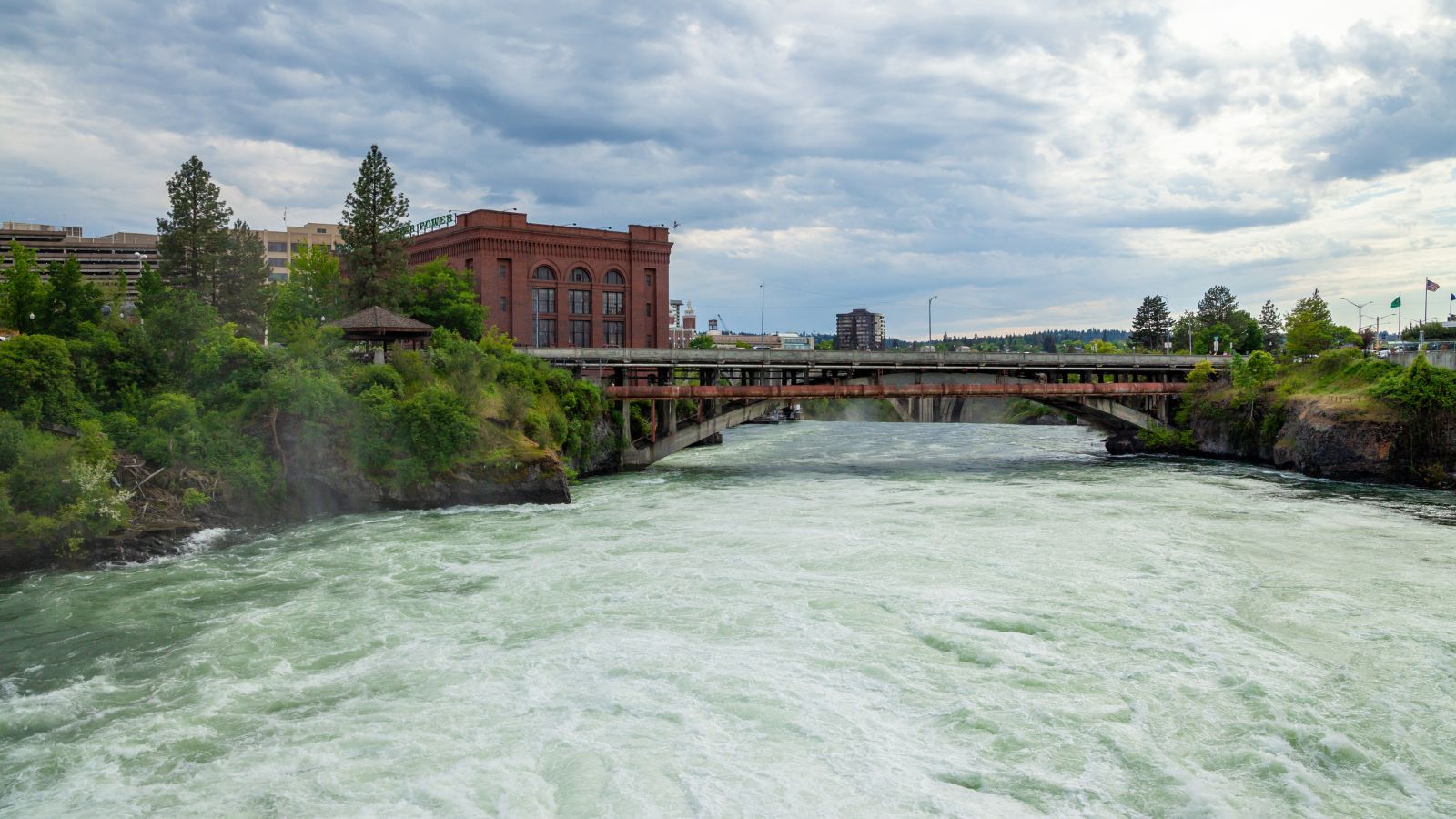
The Spokane River is a tributary of the Columbia River, approximately 111 miles long, in northern Idaho and eastern Washington. It drains a low mountainous area east of the Columbia, passing through the Spokane Valley and the city of Spokane.
Its entire drainage basin is about 6,240 square miles large, of which 3,840 square miles are above Post Falls Dam at the outlet of Coeur d’Alene Lake. The Spokane River traverses the Rathdrum Prairie until reaching Post Falls, Idaho where it passes over a dam and a natural 40-foot waterfall, continuing westward and passing over 6 more dams.
Three of these dams are located in the city of Spokane and flow over the Falls, which are located in the heart of the Downtown area, approximately one-third of the way down the river’s length.
Pend Oreille River
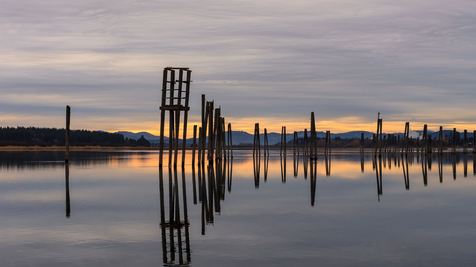
The Pend Oreille River is a tributary of the Columbia River, approximately 130 miles long, in northern Idaho and northeastern Washington, as well as southeastern British Columbia.
This river drains the scenic area of the Rocky Mountains along the U.S.-Canada border on the east side of the Columbia. The river is sometimes defined as the lower part of the Clark Fork, which rises in western Montana.
It drains an area of 66,800 square kilometers, mostly through the Clark Fork and its tributaries in western Montana, including a portion of the Flathead River in southeastern British Columbia.
The full drainage basin of the river and its tributaries accounts for 43% of the entire Columbia River Basin above the confluence with the Columbia.
The total area of the Pend Oreille Basin is just under 10% of the entire 258,000-square-mile Columbia Basin, with the Box Canyon Dam currently underway on a multimillion-dollar project for a fish ladder.
Okanogan River
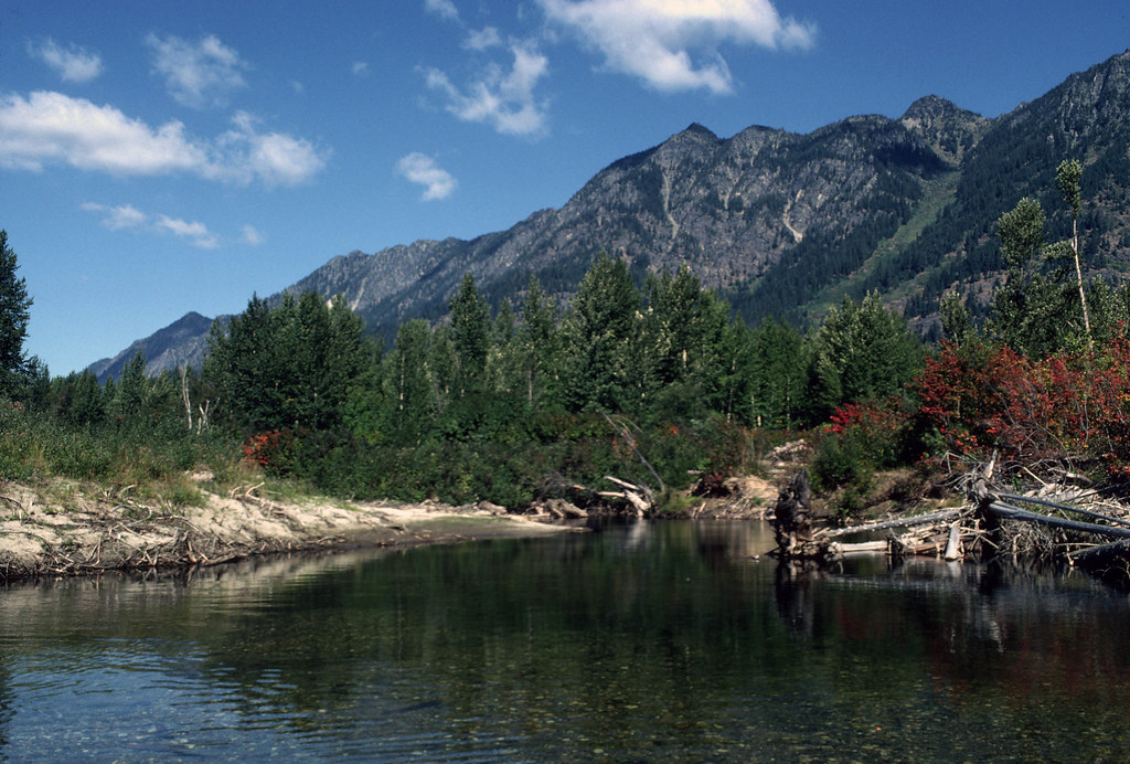
The Okanogan River is a tributary of the Columbia River, approximately 115 miles long, in southern British Columbia and north-central Washington.
This river drains a scenic plateau region called the Okanagan Country east of the Cascade Range and northwest of the Columbia and Okanagan region of British Columbia.
The river rises in southern British Columbia, issuing out of the southern end of Okanagan Lake, flowing south past Penticton, through Skaha Lake, past Okanagan Falls, through Vaseux Lake, and past Oliver to Osoyoos and Osoyoos Lake.
It spans the Canada-United States border and has its outlet into the Okanogan River at Oroville, on the southern shore of the lake, in Okanogan County.
The river flows south through Okanogan County, past Okanogan and Omak, forming the western boundary of the Colville Indian Reservation, before entering the Columbia River from the north, 5 miles east of Brewster, between the Wells Dam (downstream) and the Chief Joseph Dam (upstream).
The reservoir is behind Wells Dam, into which the Okanogan empties, called Lake Pateros.
Nisqually River

The Nisqually River is located in west-central Washington, approximately 81 miles long, draining part of the Cascade Range southeast of Tacoma.
This includes the southern slope of Mount Rainier, and empties into the southern end of Puget Sound, with its outlet designated in 1971 as the Nisqually Delta National Natural Landmark.
The river rises in southern Mount Rainier National Park, fed by the Nisqually Glacier on the southern side of Mt. Rainier, and forms the Pierce-Lewis county line, as well as the boundary between Pierce and Thurston counties, flowing west through Ashford and Elbe along Route 706.
This area is impounded for hydroelectricity by the Alder Dam and the LaGrande Dam, and flows northwest through the foothills, passing near McKenna, Washington, and through Fort Lewis and the Nisqually Indian Reservation.
Chehalis River
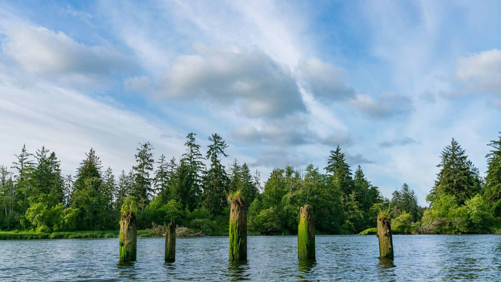
The Chehalis River is the largest solely contained drainage basin in the state of Washington, originating in several forks in southwestern Washington before emptying into Grays Harbor, an estuary of the Pacific Ocean.
During the Ice Age, the river was once much larger when the tongue of the glacial ice sheet covering the Puget Sound terminated near Olympia, and glacial runoff formed a large torrent of meltwater, carving a large oversized valley that is much larger than the current river could have produced.
The river’s mouth was out near current Westport until rising sea levels at the end of the ice age flooded the broad Chehalis Valley to form a ria, known today as Grays Harbor.
Skykomish River
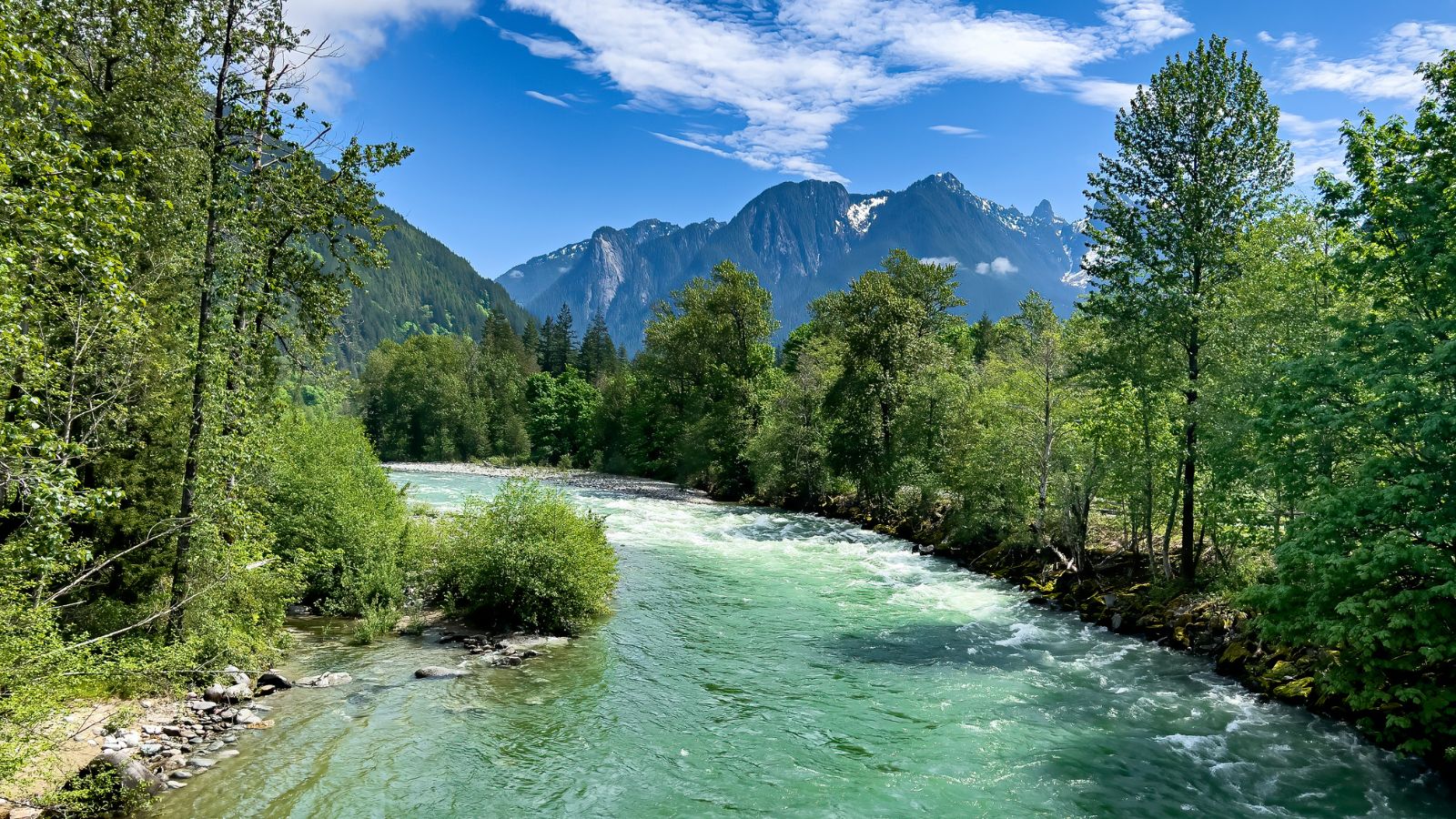
The Skykomish River is a 29-mile-long river in Washington State, which drains the west side of the Cascade Mountains in the southeast section of Snohomish County and the northeast corner of King County.
This river starts with the confluence of the North Fork Skykomish River and South Fork Skykomish River, approximately one mile west of Index, then flows northwesterly towards Puget Sound, eventually dumping into Port Gardner Bay on Possession Sound (part of Puget Sound).
Its name comes from the Northern Lushootseed word /sq’íxʷəbš/, meaning “upriver people”, from /q’íxʷ/, “upstream”, and sometimes referred to by the nickname “Sky River” or “The Sky.”
The U.S. Highway 2 and the BNSF Railway routed to follow the Skykomish River, South Fork Skykomish, and Tye River to Stevens Pass and the Cascade Tunnel.
Wenatchee River
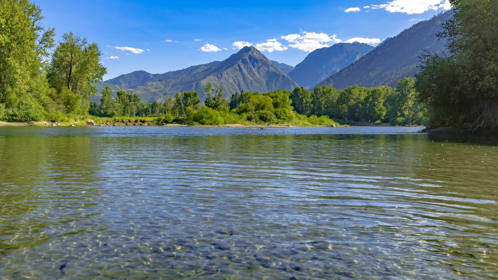
The Wenatchee River is a 53-mile-long river in the U.S. state of Washington, originating at Lake Wenatchee and flowing southeast, emptying into the Columbia River immediately north of Wenatchee.
This river flows through the towns of Plain, Leavenworth, Peshastin, Dryden, Cashmere, Monitor, and Wenatchee, all within Chelan County.
The river’s tributaries include the Chiwawa River, Nason Creek, Peshastin Creek, and Icicle Creek, and it attracts kayaking and river rafting enthusiasts and tourism, with its drainage basin being 1,333 square miles in area.
Yakima River
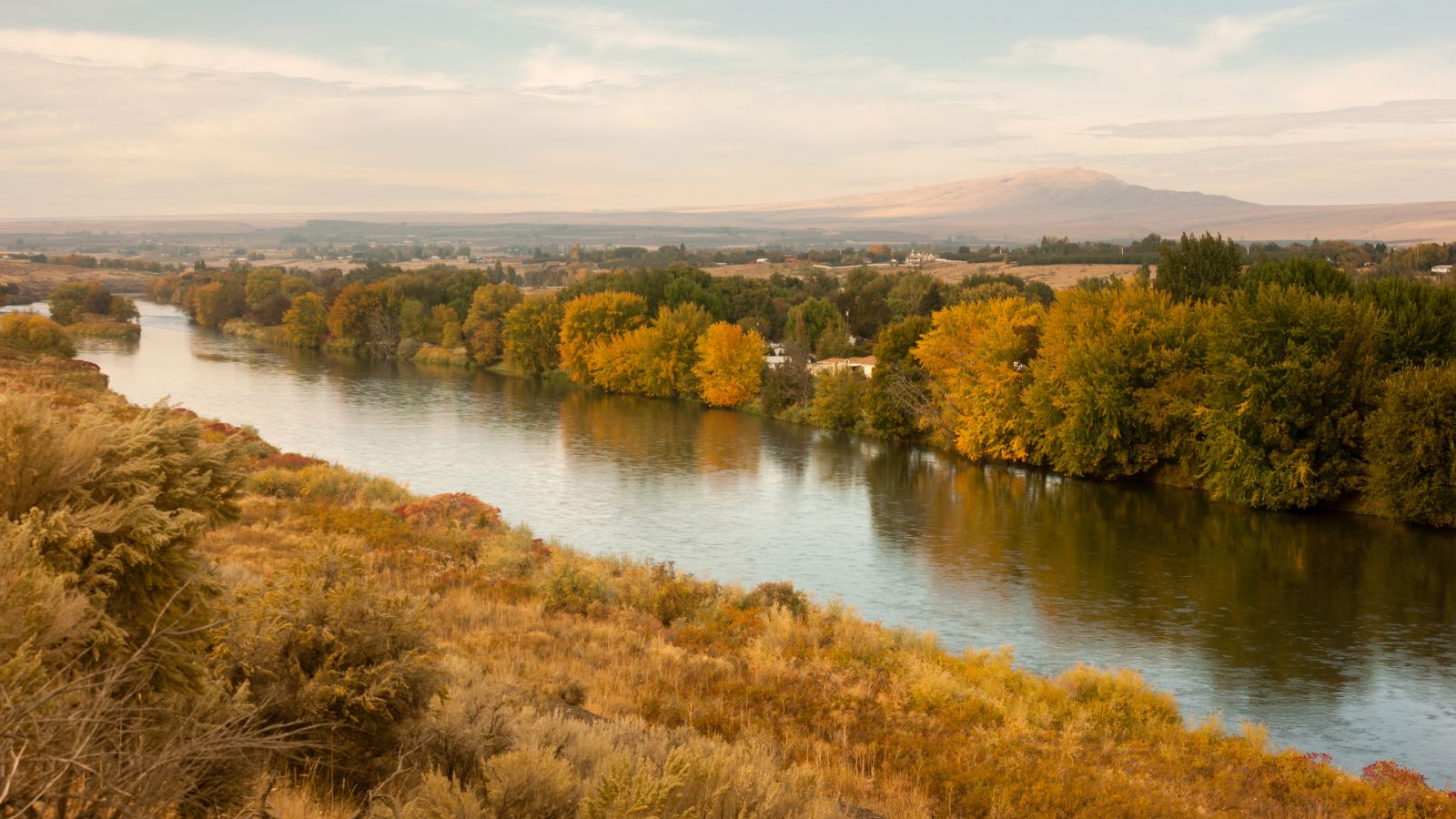
The Yakima River is a tributary of the Columbia River in south-central and eastern Washington state, named for the indigenous Yakama people.
This river runs a length of 214 miles and an average drop of 9.85 feet per mile, making it the longest river in all of Washington state.
Methow River
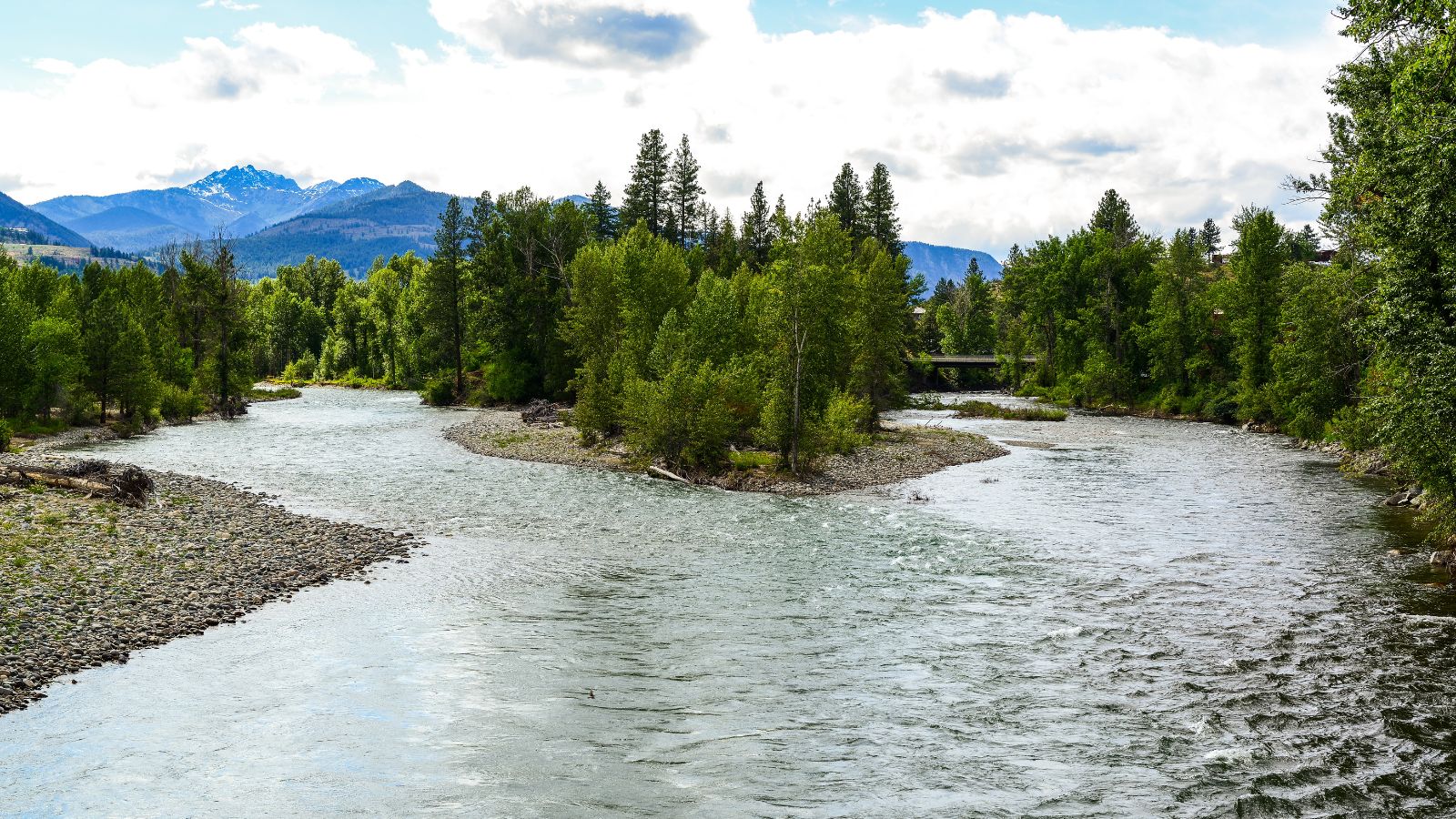
The Methow River is a tributary of the Columbia River in northern Washington in the United States, with a 1,890-square-mile watershed that drains the eastern North Cascades.
Much of the river basin is located in national forests and wildernesses, with many tributaries draining the large Pasayten Wilderness. The river’s economy, which was earlier based on agriculture, is giving way to one based on recreation and tourism.
Naches River
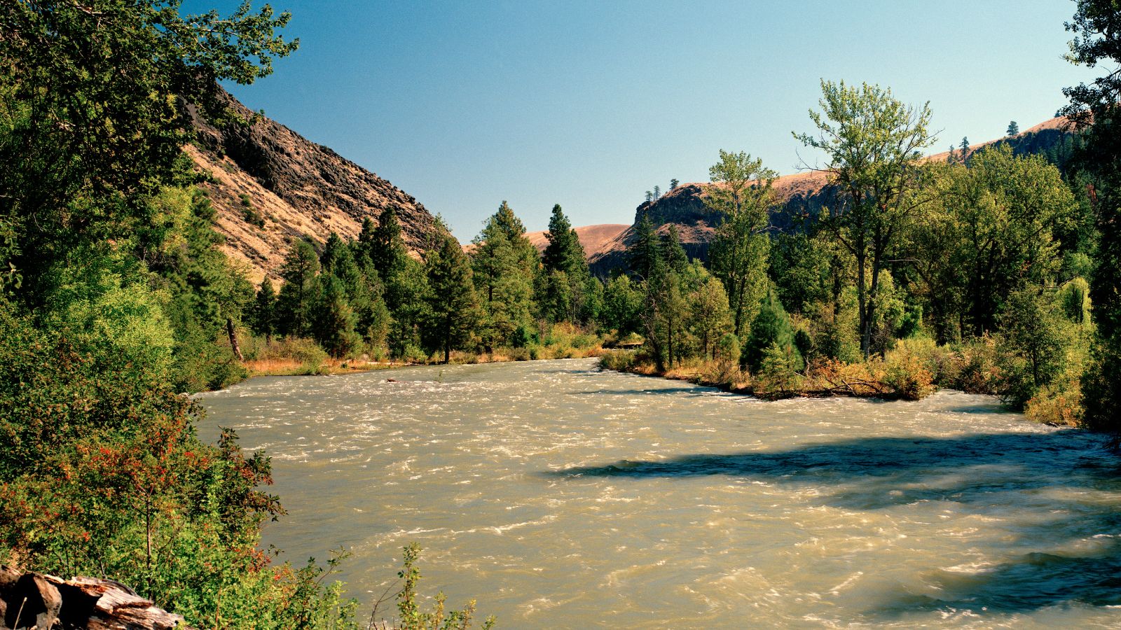
The Naches River is a tributary of the Yakima River in central Washington, originating as the Little Naches River and flowing into the Naches River after the confluence of the Little Naches and Bumping River.
It drains a portion of the eastern side of the Cascade Range, east of Mount Rainier and northeast of Mount Adams, and is the largest tributary of the Yakima River in terms of discharge.
This river served as an important travel corridor between the east and west sides of the Cascades, via Naches Pass, used by both Native Americans and settlers.
Its name comes from the Indian words “naugh,” meaning rough or turbulent, and “chez,” meaning water.
Klickitat River
The Klickitat River is a nearly 96-mile-long tributary of the Columbia River in south-central Washington, draining a rugged plateau area on the eastern side of the Cascade Range in Oregon.
10 miles of the river was designated Wild and Scenic in 1986 from the confluence with Wheeler Creek, near the town of Pitt, to the confluence with the Columbia River.
The river rises in the high Cascades near Gilbert Peak, in northwestern Yakima County, in a remote corner of the Yakama Indian Reservation.
It flows southeast, then generally south across the Lincoln Plateau, and enters the Columbia from the north at Lyle, approximately 10 miles north-northwest of The Dalles, Oregon.
Lewis River
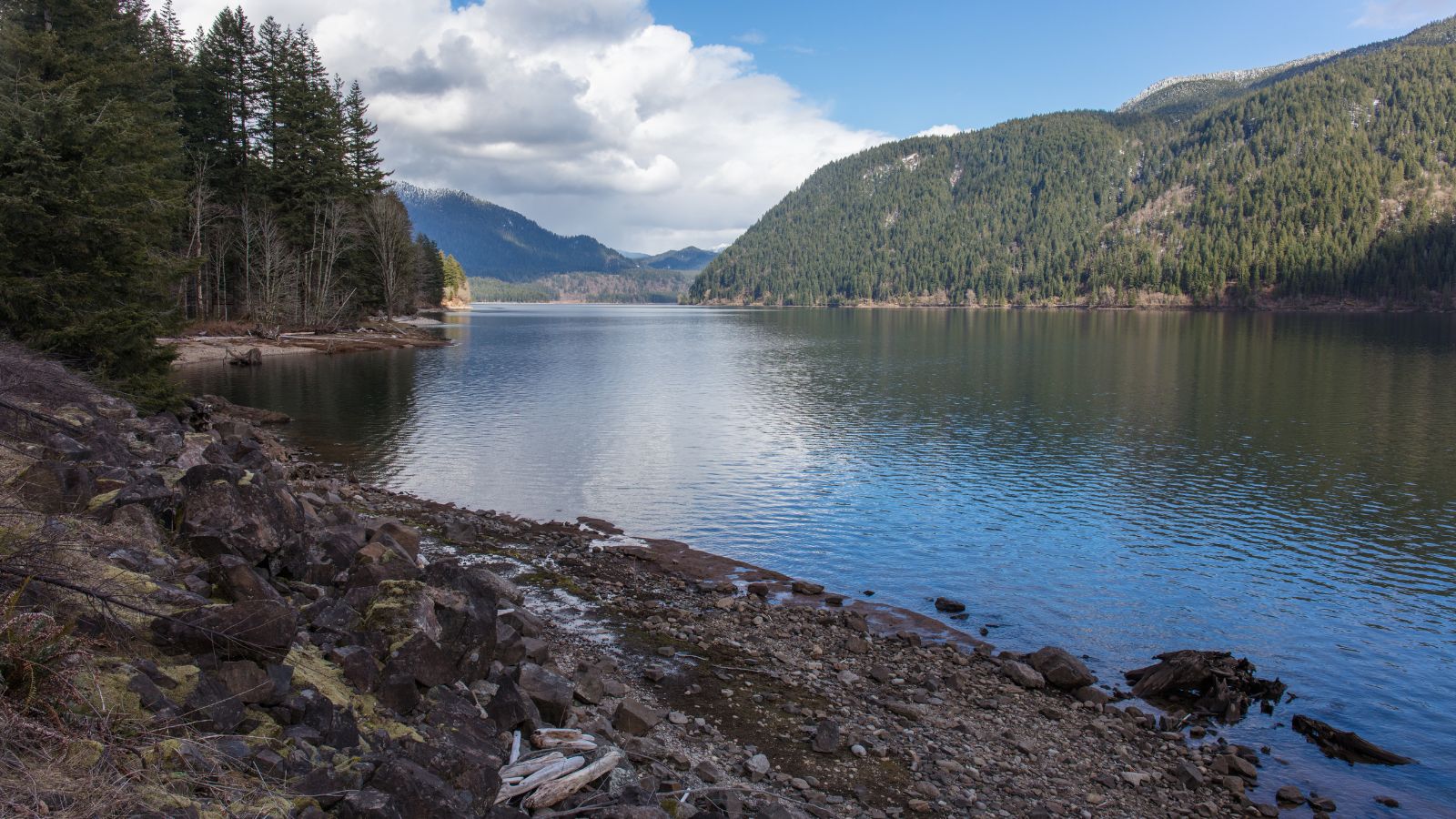
The Lewis River is a 95-mile-long tributary of the Columbia in southwestern Washington, draining part of the Cascade Range north with a drainage basin covering about 1,046 square miles. It has a mean annual discharge of about 6,125 cubic feet per second.
Despite its proximity to the County and Fort of the same name, the Lewis River was not named for Meriwether Lewis. Rather, it was named after A. Lee Lewis, an early colonizer who homesteaded near the mouth of the river.
Puyallup River

The Puyallup River is a 45-mile-long river in the U.S. state of Washington, formed by glaciers on the west side of Mount Rainier.
It generally flows northwest and empties into Commencement Bay, part of Puget Sound, with its watershed draining an area of about 948 square miles in Pierce County and southern King County.
The river’s watershed is the youngest in the Puget Sound region, having been formed from a series of lahars starting about 5,600 years ago.
Touchet River
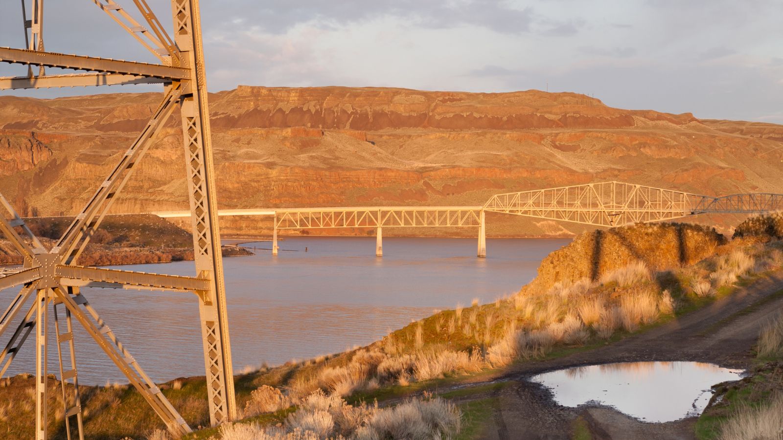
The Touchet River is a 55-mile tributary of the Walla Walla River in southeastern Washington in the United States, draining an area of about 740 square miles in Columbia County and Walla Walla County.
It was a traditional summer meeting place for trade and games for the Palus, Nez Perce, and Walla Walla tribes, with the name Touchet deriving from the similarly pronounced Sahaptin term for the river, Tu-se, meaning roasting.
The USGS cited two variant names – Pouchet River and Toosha River.
Tucannon River
The Tucannon River is a 62-mile-long tributary of the Snake River in the U.S. state of Washington. It flows northwest from headwaters in the Blue Mountains of southeastern Washington to meet the Snake 4 miles upstream from Lyons Ferry Park and the mouth of the Palouse River.
Part of the upper river flows through the Wenaha-Tucannon Wilderness, offering a pristine habitat for various wildlife species. The Tucannon River is a popular destination for outdoor enthusiasts, offering activities such as fishing, hiking, and camping.
Lake Map
Franklin D. Roosevelt Lake

Franklin D. Roosevelt Lake, also known as Lake Roosevelt, is the largest lake and reservoir in Washington, covering 125 square miles and stretching about 150 miles from the Canada-US border to Grand Coulee Dam, with over 600 miles of shoreline.
It was created in 1941 by the impoundment of the Columbia River by the Grand Coulee Dam in Washington state, and named after Franklin D. Roosevelt, who was president during the construction of the dam.
The reservoir lies in parts of five counties in northeastern Washington: Ferry, Stevens, Lincoln, Okanogan, and Grant counties, and is the home of the Lake Roosevelt National Recreation Area.
Potholes Reservoir
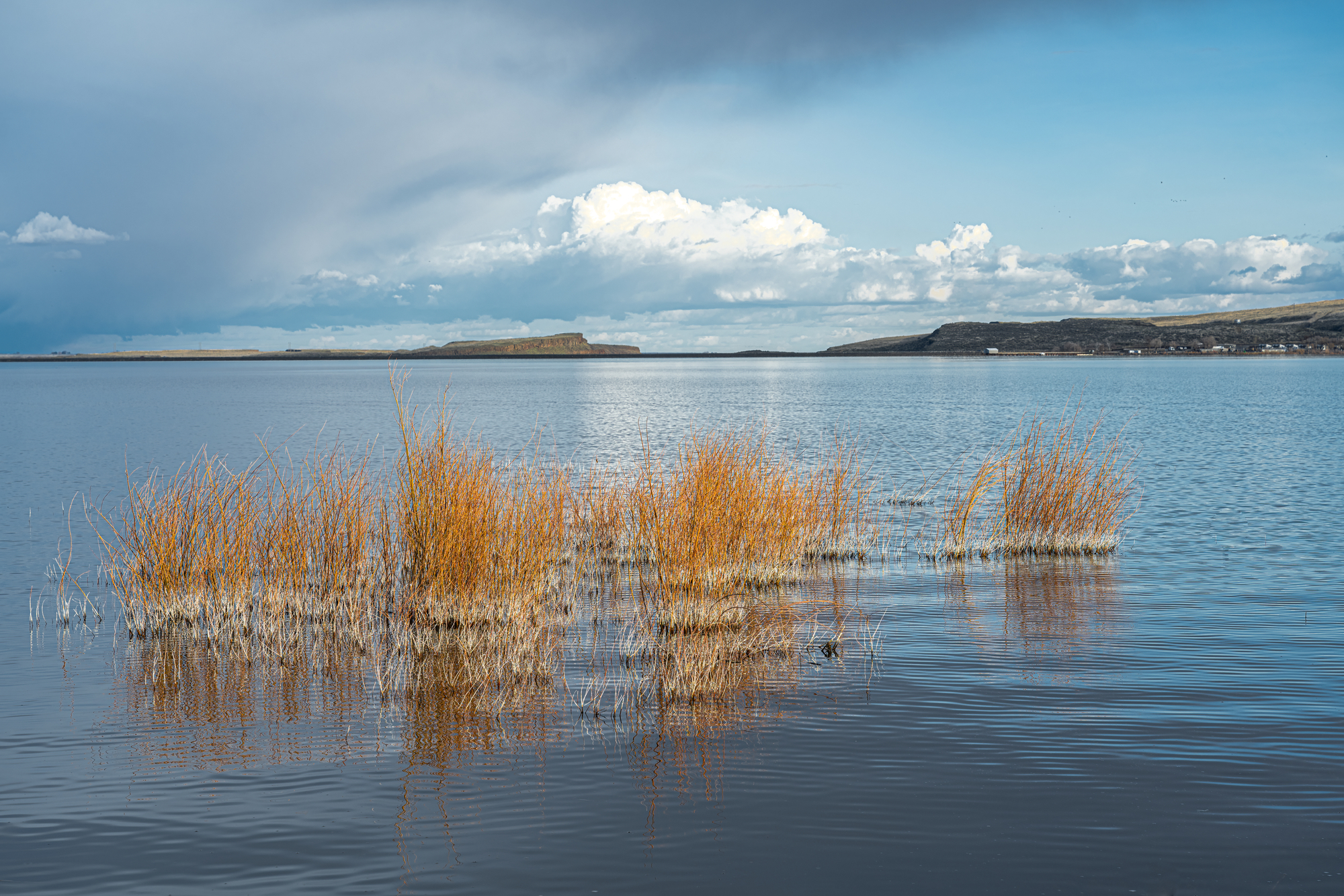
The Potholes Reservoir is part of the Columbia Basin Irrigation Project, formed by the O’Sullivan Dam and located in central Washington.
This lake is fed by water from Moses Lake, part of the Crab Creek basin, and features several lakes known as “potholes” created through both natural and man-made processes.
The potholes were initially carved out during the Pleistocene by flood waters originating from Glacial Lake Missoula. Later on, subsequent damming of the area by the Columbia Basin Project raised the water table high enough to allow these topographical depressions to become lakes.
The reservoir offers recreational opportunities and is home to Potholes State Park, a 640-acre member of the Washington State Park System, with 6,000 feet of shoreline on the reservoir.
Lake Chelan
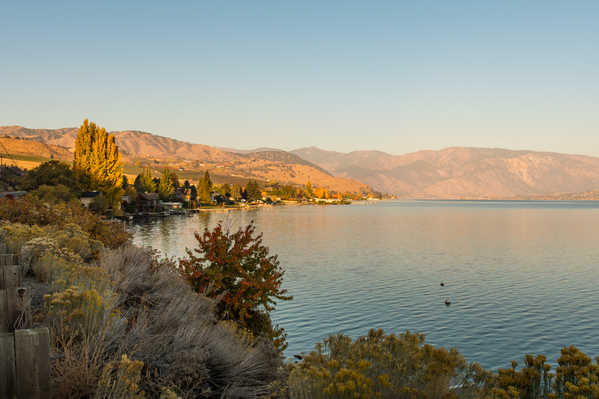
Lake Chelan is a unique, fjord-like lake in Chelan County, north-central Washington state, with a length of 50.5 miles and an average width of 1.3 miles, resembling a narrow and over-deepened body.
With a maximum depth of 1,486 ft, it is the third deepest lake in the United States, and the sides of the lake drop steeply to its bottom, with the deepest part lying as much as 436 ft below sea level.
Lake Chelan is home to two communities on the southern end of the lake, and a third sits at the far north end, providing a gateway to the North Cascades National Park.
Banks Lake
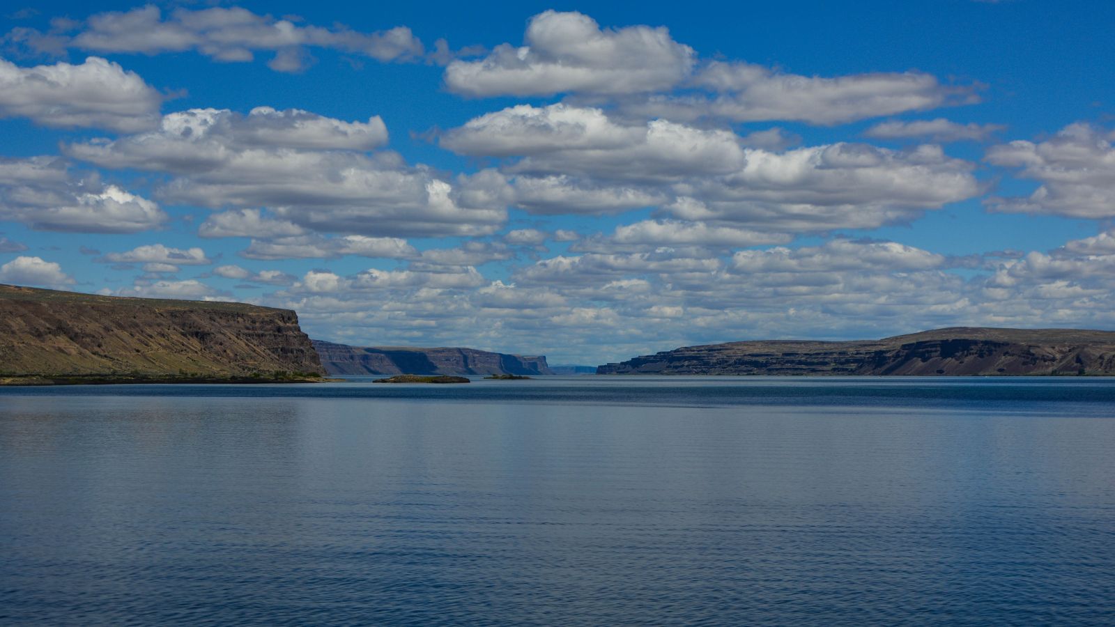
Banks Lake is a 27-mile-long reservoir in central Washington, part of the Columbia Basin Project and occupying the northern portion of the Grand Coulee.
It was formed by the Missoula Floods during the Pleistocene epoch, and created by two low earth-fill dams, Dry Falls Dam and North Dam, keeping the water in the Grand Coulee.
The lake is named after Frank A. Banks, the construction supervisor at Grand Coulee Dam, and is home to the city of Grand Coulee, the town of Electric City, and the town of Coulee City at the south end.
The water stored in Banks Lake is distributed over a large region for irrigation of the Columbia Basin Project.
Ross Lake
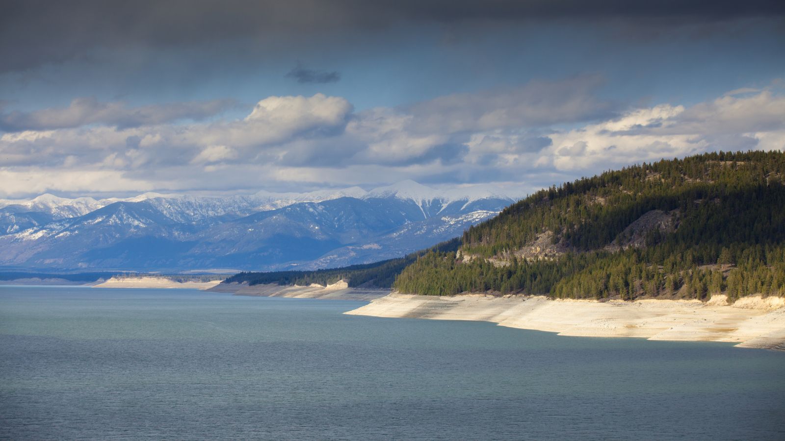
Ross Lake is a 23-mile-long reservoir located in the North Cascade mountains of northern Washington state, United States, and southwestern British Columbia, Canada. It has a width of up to 1.5 miles and a full reservoir elevation of 1,604 feet above sea level.
The U.S. portion of Ross Lake is in the Ross Lake National Recreation Area, adjacent to the North Cascades National Park to the west and south, while the Pasayten Wilderness is east of the lake.
In British Columbia, the lake is part of Skagit Valley Provincial Park, with Manning Provincial Park nearby to the east. It offers beautiful scenes of nature and also provides many recreational opportunities.
Ozette Lake
Lake Ozette is the largest unaltered natural lake in Washington state, covering 11.4 square miles, with a depth of 331 feet and three islands: Tivoli, Garden Island, and Baby Island.
The lake is contained within the northern boundary of the Olympic National Park’s coastal strip and is drained by the Ozette River at the north end, with Ozette located at the north end of the lake.
Lake Ozette offers several trails leading to the Pacific Coast Marine Sanctuary, including the Ozette Loop, connecting the Sand Point and Cape Alava trails by hiking up or down the beach to the next trailhead.
Moses Lake
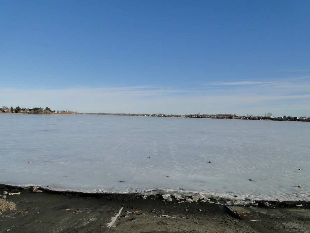
Moses Lake is a lake and reservoir in Washington state, part of the Columbia River basin, and originally a shallow natural lake that was dammed in the early 20th century for irrigation purposes as part of the Columbia Basin Project.
The lake receives water from Crab Creek and irrigated agricultural runoff, and its water now flows into Potholes Reservoir through several arms, called “horns,” including Lewis Horn, Parker Horn, and Pelican Horn.
Moses Lake features several islands, including Crest Island, Marsh Island, Gaileys Island, and Goat Island.

