Amid the whispering pines and shimmering horizons of the Land of 10,000 Lakes, a symphony of water unfolds – a tapestry woven not just by nature’s hand but by the intricate currents of Minnesota’s rivers and the tranquil stillness of its lakes. This state, celebrated for its outdoor pursuits and vibrant culture, holds within its embrace a narrative that flows as freely as its waterways.
Just as a poet selects words to craft verses, Minnesota’s rivers and lakes pen tales of exploration, sustenance, and an unwavering connection to the wilderness. In this article, we embark on a journey that follows the winding courses of Minnesota’s rivers and contemplates the mirrored surfaces of its lakes.
Join us as we reveal the significance of these aqueous verses, uncovering their role in shaping the state’s identity, culture, and way of life, and discovering the profound resonance that water has etched into the very heart of the Land of 10,000 Lakes.
Printable Minnesota Lakes and Rivers Map
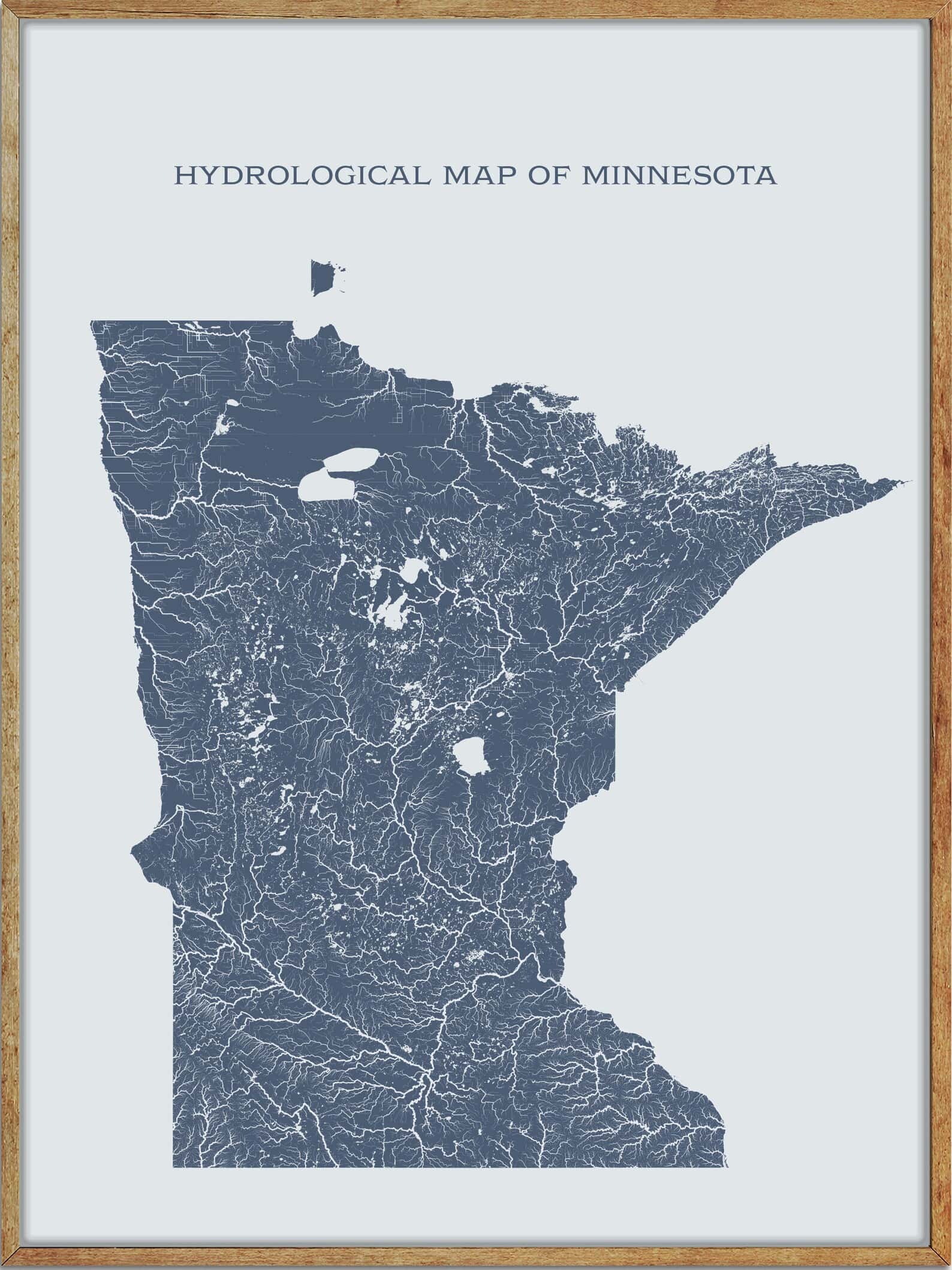
Rivers
Minnesota River

The Minnesota River, also known as the Mnísota Wakpá in Dakota, is a 332-mile-long tributary of the Mississippi River in Minnesota. It flows through a watershed of 14,751 square miles in Minnesota, as well as 2,000 square miles in South Dakota and Iowa.
The river rises in southwestern Minnesota and flows southeast to Mankato before turning northeast and joining the Mississippi River at Mendota, south of the Twin Cities of Minneapolis and St. Paul. The valley that the Minnesota River flows in is up to five miles wide and 250 feet deep, carved into the landscape by the massive glacial River Warren between 11,700 and 9,400 years ago at the end of the last ice age in North America.
St. Croix River
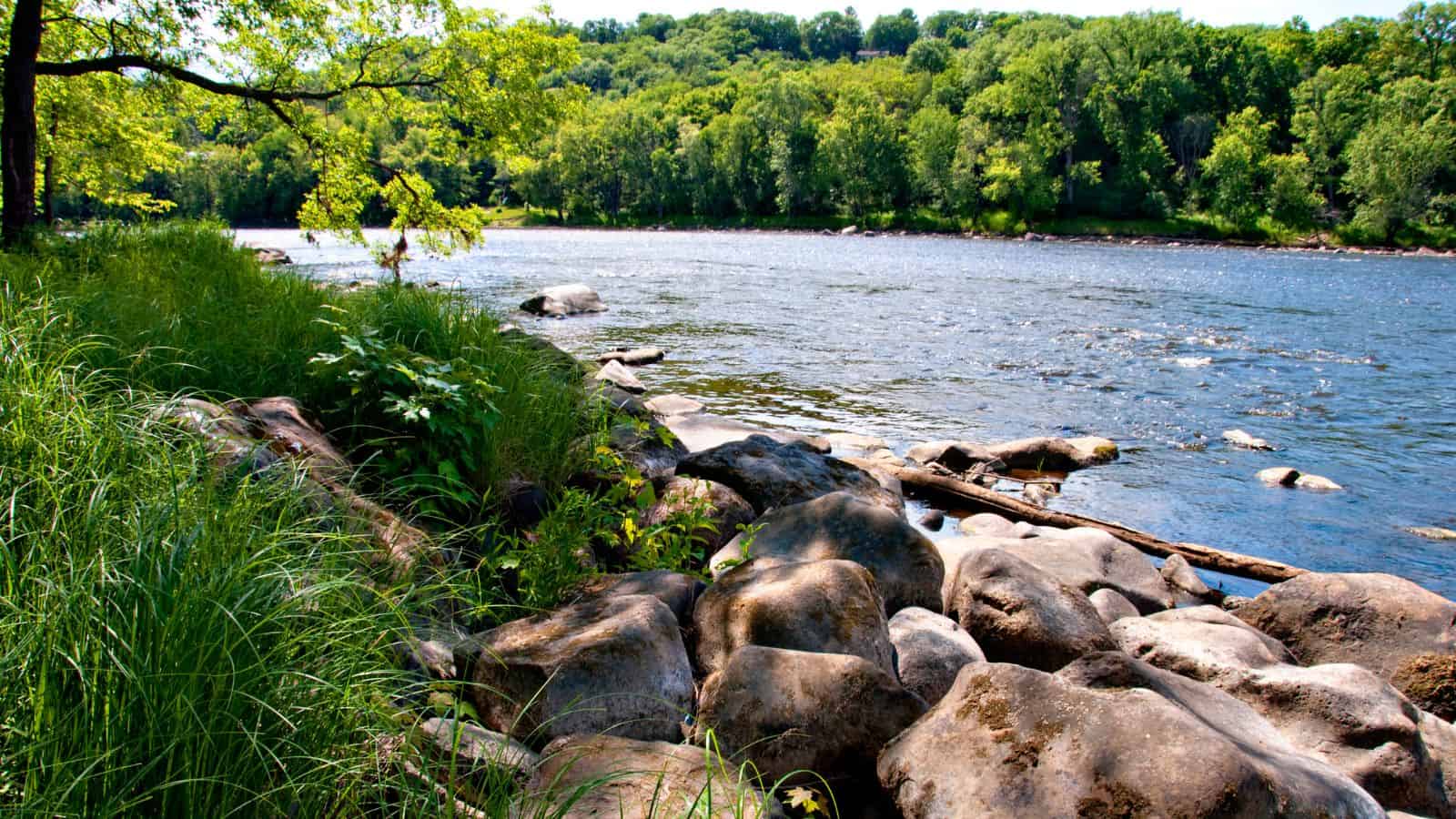
The St. Croix River, meaning “holy cross” in French, is a tributary of the Mississippi River that spans approximately 169 miles through the U.S. states of Wisconsin and Minnesota. The lower 125 miles of the river form the border between Wisconsin and Minnesota, and it is a National Scenic Riverway under the protection of the National Park Service.
The river rises in northwestern Wisconsin and flows south to Gordon, then southwest, where it is joined by the Namekagon River before meeting the boundary between Minnesota and Wisconsin, which it demarcates for another 130 miles until its confluence with the Mississippi River. Additionally, a hydroelectric plant at the Saint Croix Falls Dam provides power to the Minneapolis-St. Paul metropolitan area.
Rainy River
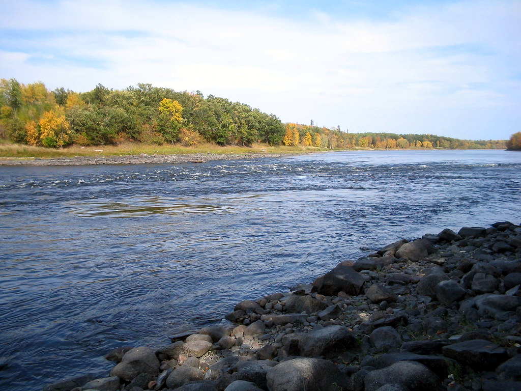
The Rainy River is a 137-mile-long river forming part of the Canada-United States border separating Northwestern Ontario and northern Minnesota. The river flows from the west side of Rainy Lake and enters the southern end of Lake of the Woods northwest of the towns of Baudette and Rainy River.
The Couchiching First Nation is associated with the river, where it had traditional territory, and a dam at International Falls generates hydroelectricity from the river. The Baudette-Rainy River International Bridge and the Fort Frances-International Falls International Bridge both cross the Rainy River, and the Ontario and Rainy River Railway follows the river on the Canadian side.
Blue Earth River
The Blue Earth River, known as Makhátho Wakpá in Dakota, is a 108-mile-long tributary of the Minnesota River in southern Minnesota, USA. Its two headwaters tributaries, the Middle Branch Blue Earth River and the West Branch Blue Earth River, also flow for short distances in northern Iowa.
The Blue Earth River is the Minnesota River’s largest tributary by volume, accounting for 46% of the Minnesota’s flow at the rivers’ confluence in Mankato. It is part of the watershed of the Mississippi River, draining an area of 3,486 square miles in an agricultural region, with 90% of the river’s watershed in Minnesota. Additionally, it is a designated Water Trail by the Minnesota Department of Natural Resources.
Root River
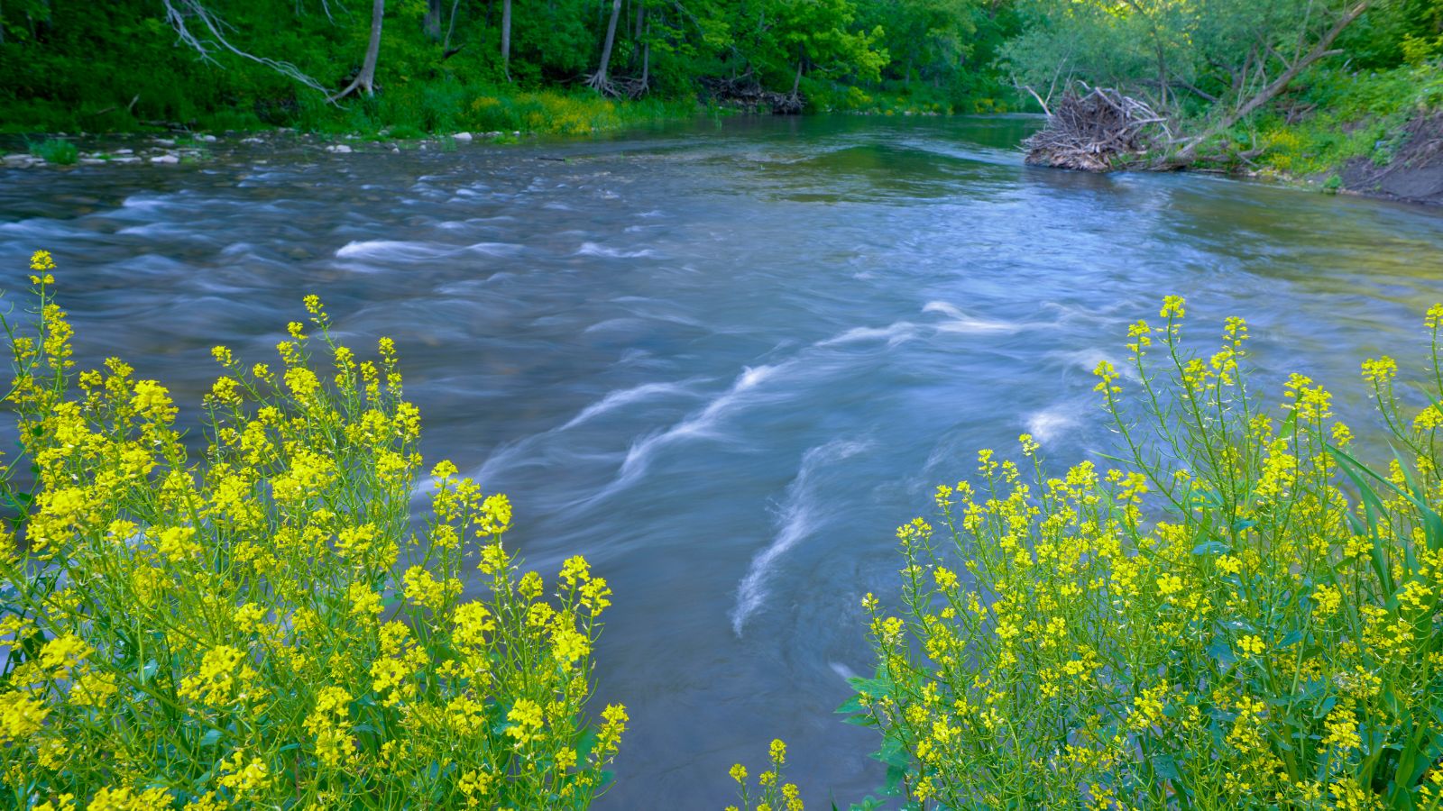
The Root River is an 80-mile-long tributary of the Upper Mississippi River that flows through the Driftless Area of southeastern Minnesota. The river is formed by three branches, the North, South, and Middle branches of the Root River, and the South Fork Root River, and is an excellent river for canoeing and fishing.
The river drops an average of 3.4 ft/mile from Chatfield, Minnesota, to its pour point in the Mississippi River into Navigation Pool 7 just south of La Crosse, Wisconsin, and east of Hokah, Minnesota. Moreover, Root River is an English translation of the Dakota-language name Hokah.
Rum River
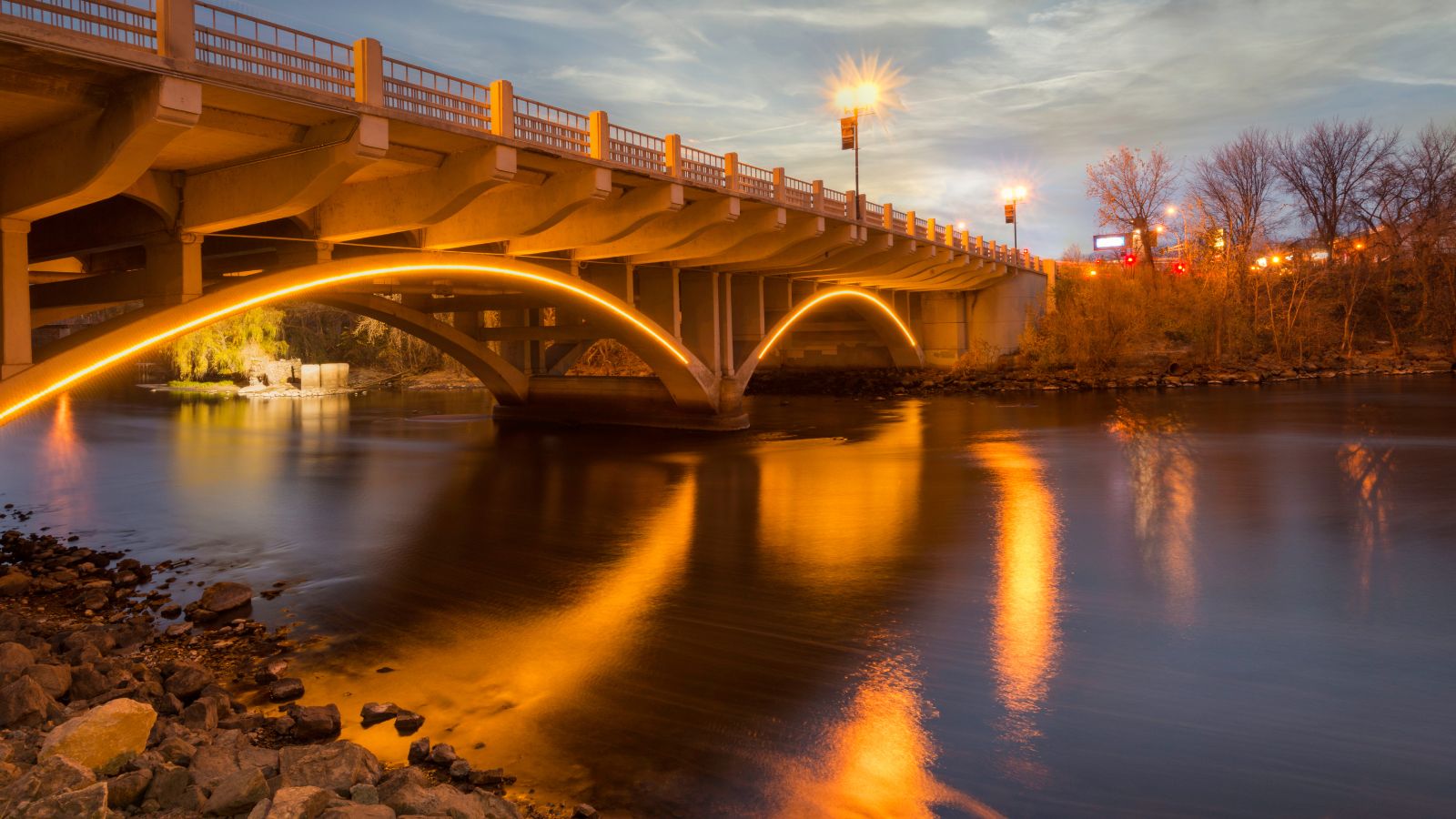
The Rum River is a 151-mile-long slow, meandering stream that connects Minnesota’s Mille Lacs Lake with the Mississippi River. It flows through several communities, including Onamia, Milaca, Princeton, Cambridge, Isanti, and St. Francis before ending at the city of Anoka, approximately 20 miles northwest of Minneapolis.
Moreover, the Rum River is one of the six protected Wild and Scenic rivers in Minnesota, making it an important natural resource for the state.
Crow Wing River
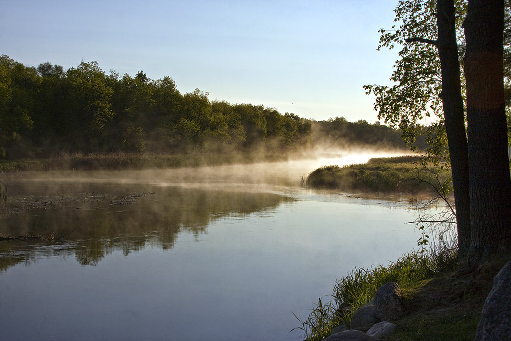
The Crow Wing River is a 113-mile-long tributary of the Mississippi River in Minnesota that rises at an elevation of about 1,391 feet in a chain of 11 lakes in southern Hubbard County and flows generally south, then east, entering the Mississippi at Crow Wing State Park northwest of Little Falls.
Its name is a loose translation from the Ojibwe language Gaagaagiwigwani-ziibi, which means “Raven-feather River,” and a wing-shaped island at its mouth accounts for the river’s name. The Crow Wing River is considered one of the state’s best “wilderness” routes for canoeists due to its many campsites and undeveloped shores, despite being shallow and seldom more than 3 feet deep.
Cloquet River
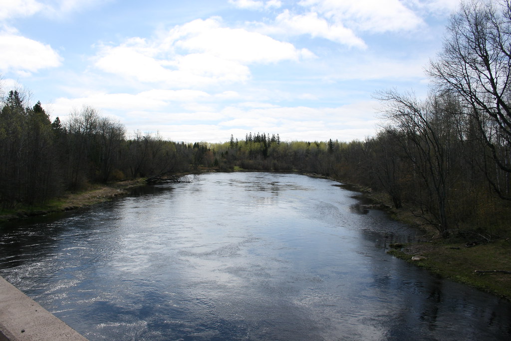
The Cloquet River is a 104-mile-long river in Minnesota that serves as the main tributary of the Saint Louis River. It generally flows in a southwesterly direction through Indian Lake, Alden Lake, and Island Lake before emptying into the Saint Louis River.
The river can be separated into two primary stretches, the upper stretch beginning at Cloquet Lake in Lake County as a small stream and ending at Island Lake, and its tributaries include the Us-kab-wan-ka River, the Beaver River, and Little Cloquet River.
Cannon River

The Cannon River is a 112-mile-long tributary of the Mississippi River in Minnesota that flows from Shields Lake near Shieldsville to Red Wing, where it joins the Mississippi River, draining a watershed of approximately 1,460 square miles.
The river flows through the counties of Le Sueur, Rice, Dakota, and Goodhue and has few rapids, but some can be difficult (Class II), with downed trees and logjams being extreme hazards in high water, as are low bridges. Canoes traversing the river must portage several dams, and the low header dams are more dangerous than they appear to novices.
Crow River

The Crow River is a tributary of the Mississippi River in south-central Minnesota that drains a watershed of 2,756 square miles. The river flows for most of its length as three streams: the North Fork Crow River, the Middle Fork Crow River, and the South Fork Crow River, which converge at Rockford to form the Crow River, flowing for 24.8 miles northeastward to the Mississippi River.
The river’s course is used to define the boundary between Wright and Hennepin counties, and it flows through several towns, including Greenfield, Hanover, St. Michael, Otsego, and Dayton.
Cottonwood River
The Cottonwood River is a 152-mile-long tributary of the Minnesota River in southwestern Minnesota that drains an area of 1,313 square miles in an agricultural region. The river rises southwest of Balaton in Rock Lake Township in southern Lyon County, flowing generally eastwardly throughout its course and entering a wooded valley near its mouth. It flows through Flandrau State Park and enters the Minnesota River just southeast of New Ulm.
The river’s name is a translation of the Dakota name for the river, Wáǧa Ožú Wakpá, for the cottonwood tree groves, which are common along prairie rivers, and it has also been known historically as the Big Cottonwood River.
Redwood River
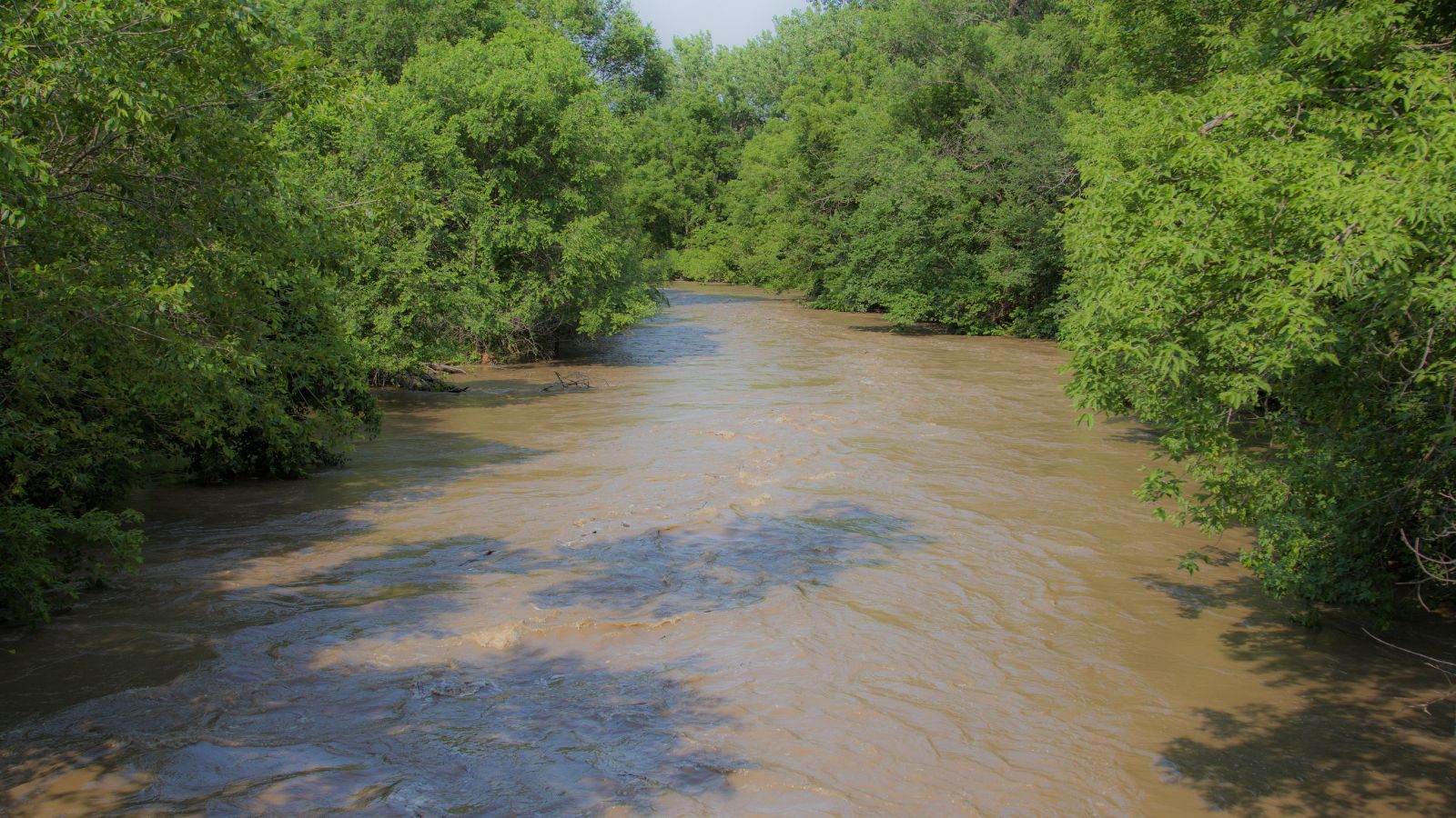
The Redwood River is a 127-mile-long tributary of the Minnesota River in southwestern Minnesota that drains an area of 705 square miles in an agricultural region.
The river’s headwaters are in Aetna Township in northeastern Pipestone County, flowing initially eastwardly as an intermittent stream, through Ruthton, and into northwestern Murray County, then northwardly into Lyon County, where it turns northeastward and flows through Russell, Lynd, and Marshall.
Between Russell and Marshall, the river flows off the Coteau in a wooded valley, dropping 300 feet in 15 miles, and downstream of Marshall, it flows through a flat till plain and turns eastward into Redwood County, passing Vesta and Seaforth, with sections of the river in this stretch having been straightened to form agricultural ditches.
Pomme de Terre River
The Pomme de Terre River is a 125-mile-long tributary of the Minnesota River in western Minnesota that drains an area of 875 square miles in an agricultural region.
The river issues from Stalker Lake in Tordenskjold Township, flowing generally southwardly through eastern Grant and Stevens Counties and western Swift County, through the cities of Barrett, Morris, and Appleton, and flows into Marsh Lake on the Minnesota River in southwestern Swift County, approximately four miles southwest of Appleton.
The headwaters region of the Pomme de Terre River is the northernmost extremity of the Minnesota River’s watershed, and Marsh Lake was formed by a backup of water caused by the Pomme de Terre’s delta, presently maintained by a manmade dam.
Chippewa River

The Chippewa River is a 153-mile-long tributary of the Minnesota River in western and southwestern Minnesota that flows through several lakes in its upper course and passes through Grant, Pope, Stevens, Swift, and Chippewa counties, joining the Minnesota River in Montevideo.
The river was named after the Chippewa Indians and is part of the watershed of the Mississippi River via the Minnesota River. Some sections of the river, especially along its middle course in Pope and Swift Counties, have been straightened and channelized, and it collects the Little Chippewa River and the East Branch Chippewa River in Pope and Swift Counties, respectively.
Bois de Sioux River
The Bois de Sioux River is a 41-mile-long tributary of the Red River of the North that drains Lake Traverse, the southernmost body of water in the Hudson Bay watershed of North America.
The river defines part of the western border of Minnesota and the eastern borders of North Dakota and South Dakota, and it flows northward from a Corps of Engineers dam at the north end of Lake Traverse, passing through Mud Lake and the town of White Rock, South Dakota before joining the Otter Tail River to form the Red River of the North at Wahpeton, North Dakota, and Breckenridge, Minnesota. The name Bois de Sioux is derived from French meaning “Woods of the Sioux.”
Buffalo River
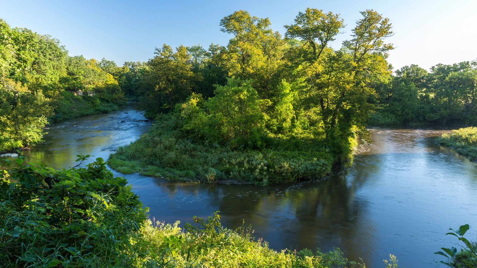
The Buffalo River is a 139-mile-long tributary of the Red River of the North in western Minnesota that drains an area of 1,189 square miles. The river flows from Tamarac Lake in the Tamarac National Wildlife Refuge in central Becker County, passing through Clay County, past the towns of Hawley and Georgetown, and through Buffalo River State Park, before flowing into the Red River about 1 mile west of Georgetown.
Its largest tributary is the South Branch Buffalo River, which rises in western Otter Tail County and joins the main stem of the river near Glyndon, Minnesota.
Roseau River
The Roseau River is a 214-mile-long tributary of the Red River of the North that flows through southern Manitoba in Canada and northwestern Minnesota in the United States and is part of the Hudson Bay watershed via the Red River, Lake Winnipeg, and the Nelson River.
The name Roseau is from the French for reed, roseau, and in turn from the Ojibwe Ga-shashagunushkokawi-sibi, meaning “place-of-rushes river.” The river flows through the Roseau River Anishinabe First Nation and is also the namesake for the community of Roseau River in Manitoba.
Lakes
Lake of the Woods

Lake of the Woods, also known as Lac des Bois and Pikwedina Sagainan, is a large lake that occupies parts of the Canadian provinces of Ontario, Manitoba, and the U.S. state of Minnesota. It is over 70 miles long and wide, containing more than 14,552 islands and 65,000 miles of shoreline, making it the sixth-largest freshwater lake located (at least partially) in the United States and the 36th-largest lake in the world by area.
The lake’s islands provide nesting habitats for the piping plover, large numbers of American white pelicans, and several hundred nesting pairs of bald eagles. The lake separates a small land area of Minnesota from the rest of the United States, and the Northwest Angle and the town of Angle Township can be reached from the rest of Minnesota only by crossing the lake or by traveling through Canada.
Red Lake

Red Lake, translated from the Ojibwe language Miskwaagamiiwi-zaaga’igan, is the largest natural freshwater lake located entirely within Minnesota and the 16th-largest lake in the United States.
The lake is separated into two sections, Upper Red Lake and Lower Red Lake, with Lower Red Lake lying entirely within the Red Lake Indian Reservation. The lake is a popular destination for ice fishing, but in the early 2022 fishing season, about 200 people were isolated over a floating ice bank on Upper Red Lake after the ice sheet ruptured, and they had to be rescued.
Rainy Lake
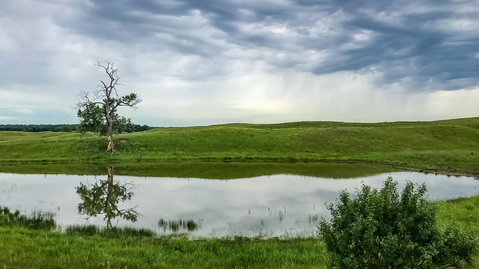
Rainy Lake is a freshwater lake that straddles the border between the United States and Canada and has a surface area of 360 square miles. The Rainy River issues from the west side of the lake and is used to make hydroelectricity for US and Canadian locations.
Voyageurs National Park is located on the southeastern corner of the lake, where it connects with Kabetogama and Namakan Lakes at Kettle Falls, and the lake is part of an extremely large system of lakes forming the Hudson Bay drainage basin that stretches from west of Lake Superior north to the Arctic Ocean.
Mille Lacs Lake
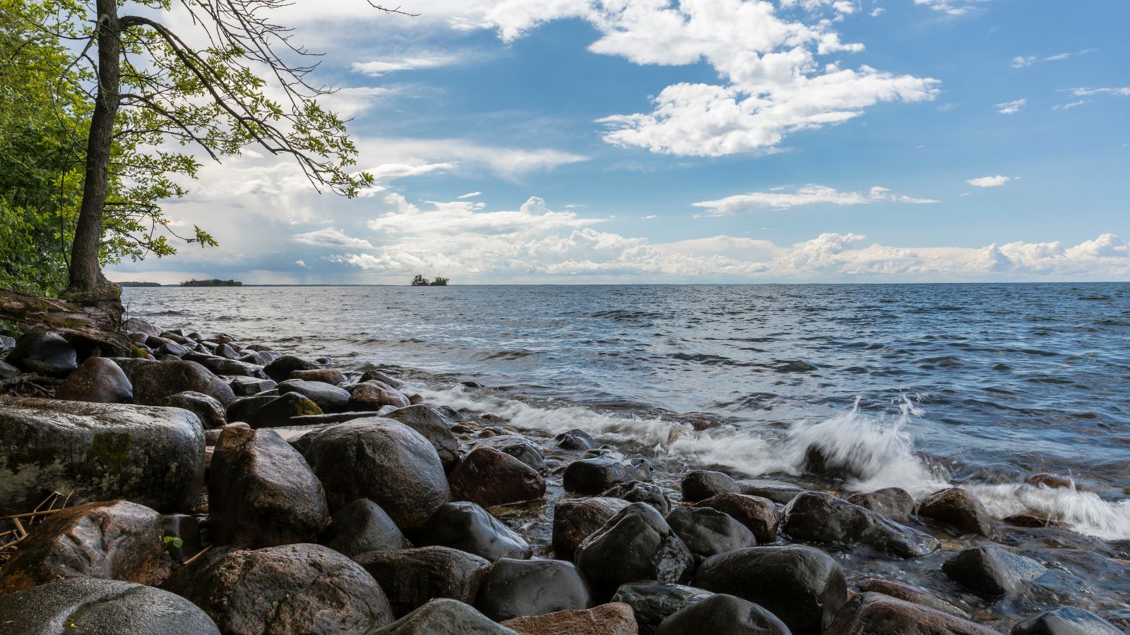
Mille Lacs Lake, also called Lake Mille Lacs or Mille Lacs, is a large but shallow lake located in the counties of Mille Lacs, Aitkin, and Crow Wing, roughly 75 miles north of the Minneapolis-St. Paul metropolitan area.
The lake is Minnesota’s second-largest inland lake at 132,516 acres, after Red Lake, and has a maximum depth of 42 feet. The lake’s name, Mille Lacs, means “thousand lakes” in French, while in the Ojibwe language of the people who historically occupied this area, the lake is called Misi-zaaga’igan, which means “grand lake”.
Lake Traverse
Lake Traverse lies along the border between the U.S. states of Minnesota and South Dakota and is the southernmost body of water in the Hudson Bay watershed of North America. The lake is an Anglicization of Lac Traverse, a French name meaning “across the lake”.
Prehistorically, the south end of Lake Traverse was the southern outlet of glacial Lake Agassiz across the Traverse Gap into Glacial River Warren, and the lake is drained at its north end by the northward-flowing Bois de Sioux River, a tributary of the Red River of the North.
Lake Winnibigoshish
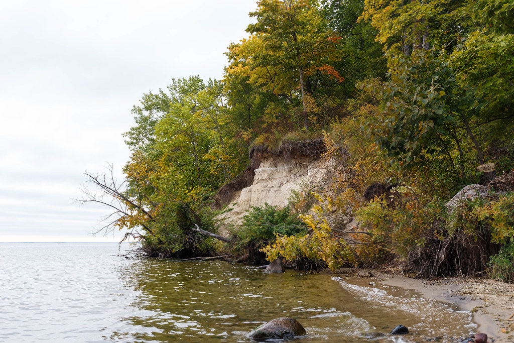
Lake Winnibigoshish, located in north central Minnesota in the Chippewa National Forest, is the fourth largest lake in Minnesota with an area of 67,000 acres. The lake’s name comes from the Ojibwe language Wiinibiigoonzhish, meaning “filthy water” or “brackish water”.
The headwaters of the Mississippi River begin at Lake Itasca and flow through Winnibigoshish, where the Mississippi is at its widest, more than 11 miles. The former Winnibigoshish Township, located on the north shore of Lake Winnibigoshish, in Itasca County, Minnesota, was named after this lake.
Vermilion Lake

Lake Vermilion, located in northeastern Minnesota’s Arrowhead Region, is a shallow freshwater lake with a surface area of 39,271 acres and a maximum depth of 76 feet.
The lake is known for its walleye and muskie fishing and attracts visitors from all parts of Minnesota and the midwestern United States, who stay at the lake’s numerous resorts and hotels. Lake Vermilion contains over 365 islands and is located near the Superior National Forest and the Boundary Waters Canoe Area Wilderness (BWCAW).
Lake Minnetonka
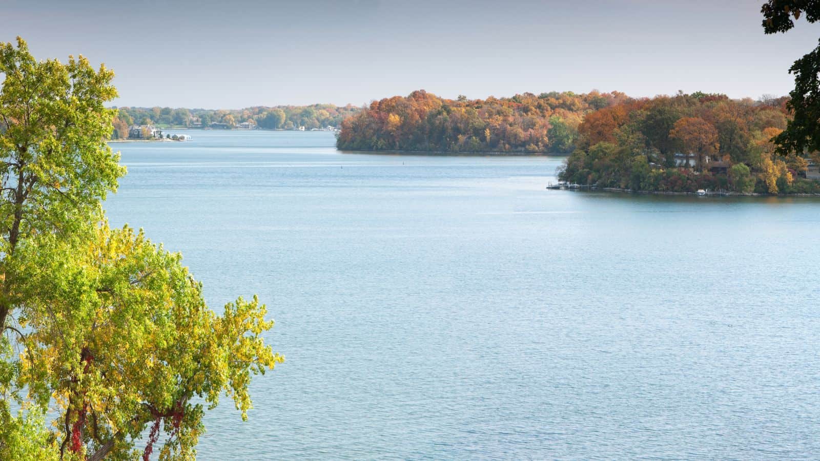
Lake Minnetonka, located about 16 miles west-southwest of Minneapolis, is Minnesota’s ninth-largest lake at 14,528 acres. The lake is a collection of kettle lakes connected by channels and marshlands and has an irregular shape with 125 miles of shoreline and 18 islands.
Lake Minnetonka is divided into two halves, the Upper Lake in the west and the Lower Lake in the east, and is surrounded by 13 incorporated municipalities, making it a popular spot for local boaters, sailors, and fishermen.
Kabetogama Lake
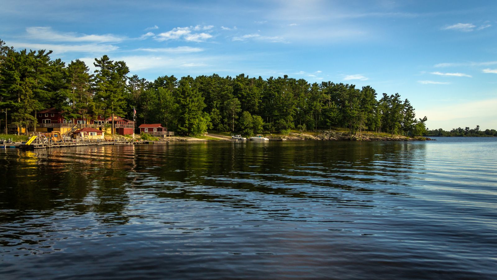
Kabetogama Lake, located in northern St. Louis County, Minnesota, is a clear lake within Voyageurs National Park and has a surface area of 25,760 acres, making it one of the state’s 10 largest inland lakes. The lake drains into Namakan Lake to the east and roughly parallels the nearby Rainy Lake.
Kabetogama’s Ojibwe name, Gaa-biitoogamaag-zaaga’igan, translates to “the lake that lies parallel with another lake” or “the lake that doubles with another lake,” while French fur trappers referred to it as Travere or Travers, meaning “alongside.” The community of Kabetogama, located along the south shores of the Lake, serves as the gateway into the park.
Big Sandy Lake
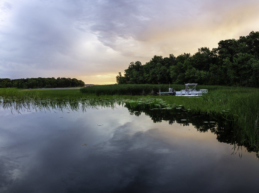
Big Sandy Lake, located in Aitkin County, Minnesota, is a fertile ground for walleye fishing with several habitat types, including the open main basin, the deep, cold eastern basin, and a shallow, more isolated south basin. The lake also features shallow bays with dense beds of wild rice on the south, west, and northwest sides.
Public access is provided by the Minnesota Department of Natural Resources at two locations, and additional points of access are maintained by the Corps of Engineers and Shamrock Township. Big Sandy Lake became a reservoir in 1895 when the United States Army Corps of Engineers built a dam on the Sandy River, and it has three major tributaries: Sandy River, Prairie River, and Aitkin River.
Otter Tail Lake

Otter Tail Lake, located in Otter Tail County, is the largest lake in the county with a surface area of 13,725 acres. The lake is ringed with a tall, mostly deciduous tree line that acts as a windbreak, keeping the shoreline calm compared to the center of the lake.
Otter Tail Lake is a recreational destination, known for fishing, boating, power boats, jet skis, and sailing. The lake’s large size makes it a challenging sailing destination, and it held annual sailing races in the late 1960s through the mid-1980s, with the Hobie Cat being especially popular at the time.
Gull Lake
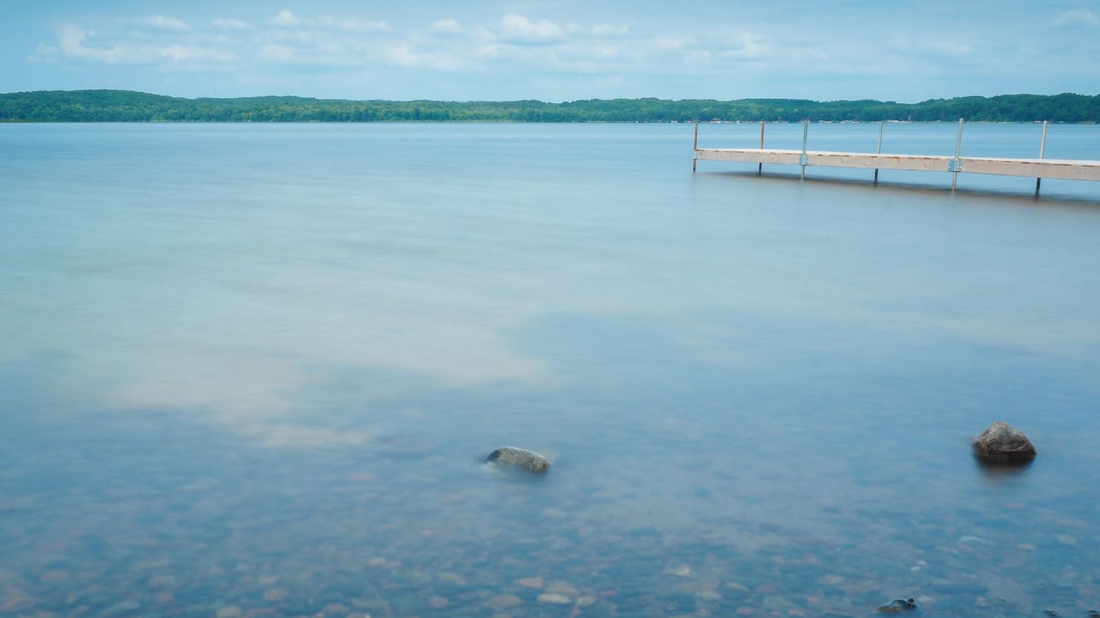
Gull Lake, located in Cass County and Crow Wing County, is one of the largest and most popular lakes in the Brainerd-Baxter area of Minnesota, known for vacationing and recreation.
It is the largest Gull Lake in Minnesota in terms of area and shoreline, with a highly developed shoreline featuring residential and commercial interests. For every shoreline mile, there are 27.8 homes or cabins, and the lake is home to 19 resorts, including well-known ones like Cragun’s, Madden’s, and Grand View Lodge.

