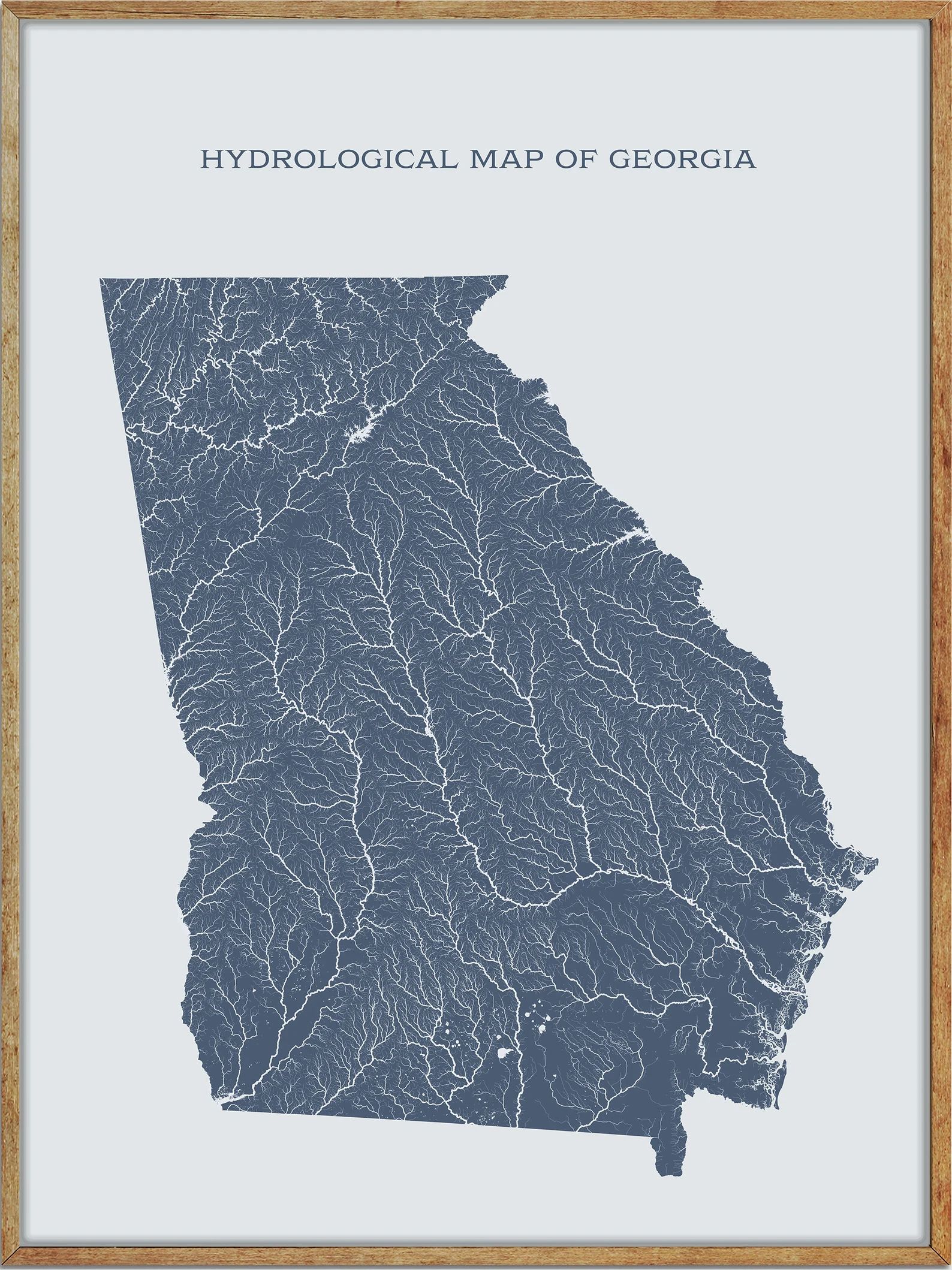
Nestled in the heart of the American South, Georgia’s charm is woven not only through its warm hospitality and historic landmarks but also in the intricate tapestry of its waterways. Beneath the shade of moss-draped trees and amidst rolling hills, the state’s rivers and lakes tell stories of resilience, progress, and natural beauty.
While Georgia may be celebrated for its iconic peaches and southern culture, its aquatic gems remain an essential part of its identity. In this article, we embark on a journey that winds along the currents of Georgia’s rivers and explores the tranquil expanses of its lakes.
Join us as we delve into the historical significance, environmental significance, and recreational allure of these liquid legacies, uncovering the vibrant threads that connect the Peach State’s past, present, and future.
Printable Georgia Lakes and Rivers Map
Rivers
Altamaha River
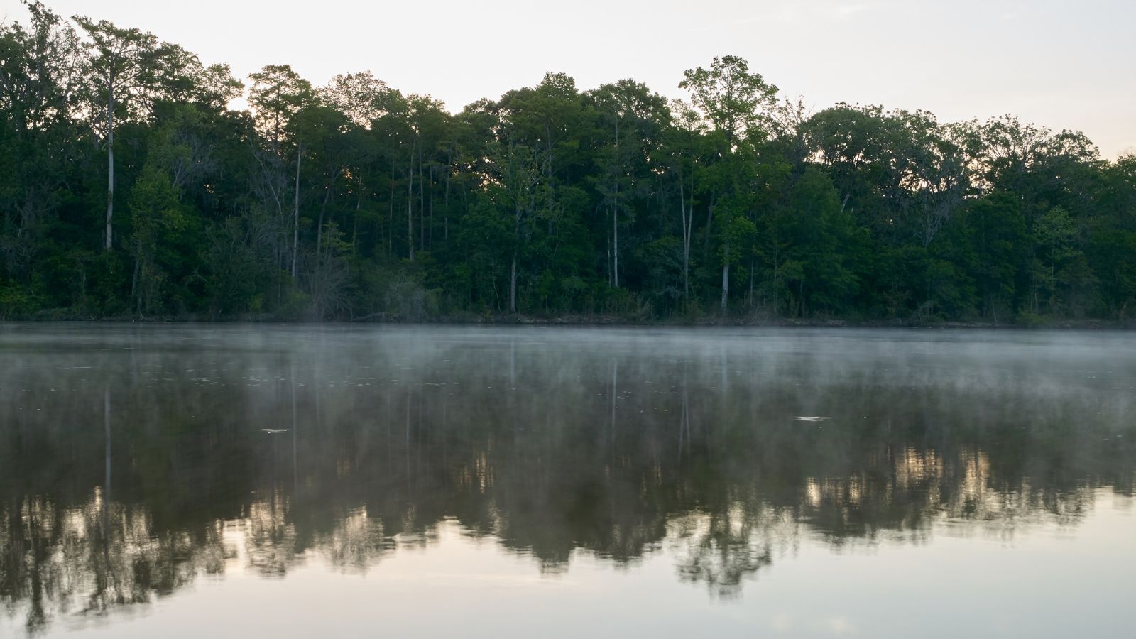
The Altamaha River is a major river in Georgia, flowing eastward for 137 miles from its origin at the confluence of the Oconee River and Ocmulgee River towards the Atlantic Ocean, where it empties into the ocean near Brunswick.
The Altamaha River’s drainage basin is about 14,000 square miles in size, making it among the larger river basins of the US Atlantic coast, and no dams are directly on the Altamaha, though some are on the Oconee and the Ocmulgee. The river is known for its diverse ecosystem and is an important habitat for a variety of fish, birds, and other wildlife.
Ogeechee River

The Ogeechee River is a blackwater river in Georgia, stretching 294 miles from its North and South Forks’ confluence, south-southwest of Crawfordville, and flowing southeast to Ossabaw Sound about 16 miles south of Savannah. Its largest tributary is the Canoochee River, and it has a watershed of 5,540 square miles, making it one of the state’s few free-flowing streams.
The Ogeechee runs from Piedmont across the Fall Line and Sandhills regions, and there it flows across the coastal plain of Georgia to the Atlantic Ocean, starting as a shallow clear running stream with several shoals and rapids, and a small falls at Shoals, below Louisville. It then becomes a lazy meandering channel through cypress swamps and miles of undeveloped forests.
Oconee River
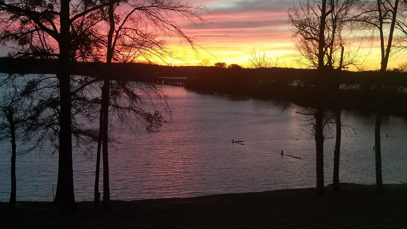
The Oconee River is a 220-mile-long river in Georgia, originating in Hall County and terminating where it joins the Ocmulgee River to form the Altamaha River near Lumber City at the borders of Montgomery, Wheeler, and Jeff Davis Counties.
The river passes through the Oconee National Forest into Lake Oconee, a man-made lake, near the towns of Madison and Greensboro off Interstate 20, before traveling to Lake Sinclair, another man-made lake near Milledgeville, the former state capital city of Georgia, lying on the Oconee River.
The river flows unobstructed south of Milledgeville until merging with the Ocmulgee River to form the Altamaha River, with many sandbars and oxbow lakes along the river and forest bottomland swamps surrounding the Oconee extending for miles, creating a very remote setting.
Flint River
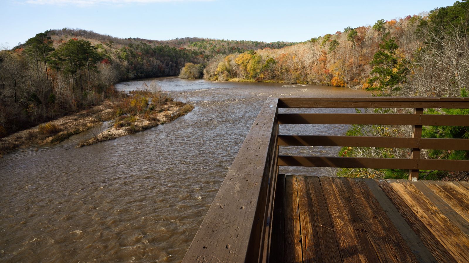
The Flint River is a 344-mile-long river in Georgia, draining 8,460 square miles of western Georgia, flowing south from the upper Piedmont region south of Atlanta to the wetlands of the Gulf Coastal Plain in the southwestern corner of the state, and forming part of the ACF basin along with the Apalachicola and the Chattahoochee rivers.
Its upper course through the red hills of the Piedmont is considered especially scenic, flowing unimpeded for over 200 miles, and historically, it was also called the Thronateeska River. The Flint River is known for its diverse ecosystem, including numerous fish species, and is popular for recreational activities such as fishing, kayaking, and canoeing.
Savannah River
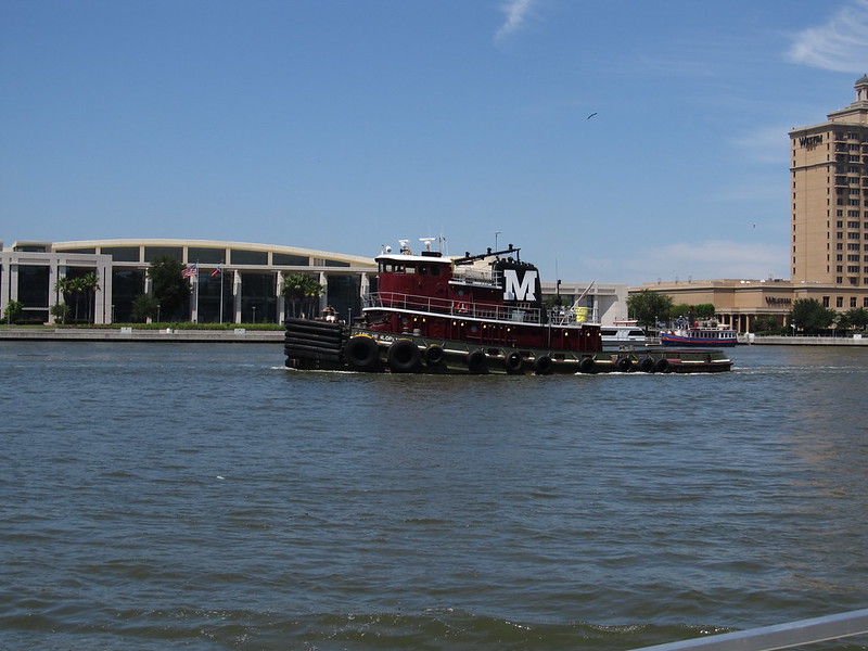
The Savannah River is a major river in the southeastern United States, forming most of the border between the states of South Carolina and Georgia, with the Tugaloo River and the Chattooga River, forming the northernmost part of the border.
The river is around 301 miles long and is tidal at Savannah proper, with the area where the river’s estuary meets the ocean known as “Tybee Roads.” The Savannah River is known for its rich history, with two major cities, Savannah and Augusta, Georgia, located along the river and serving as nuclei of early English settlements during the Colonial period of American history.
Chattahoochee River
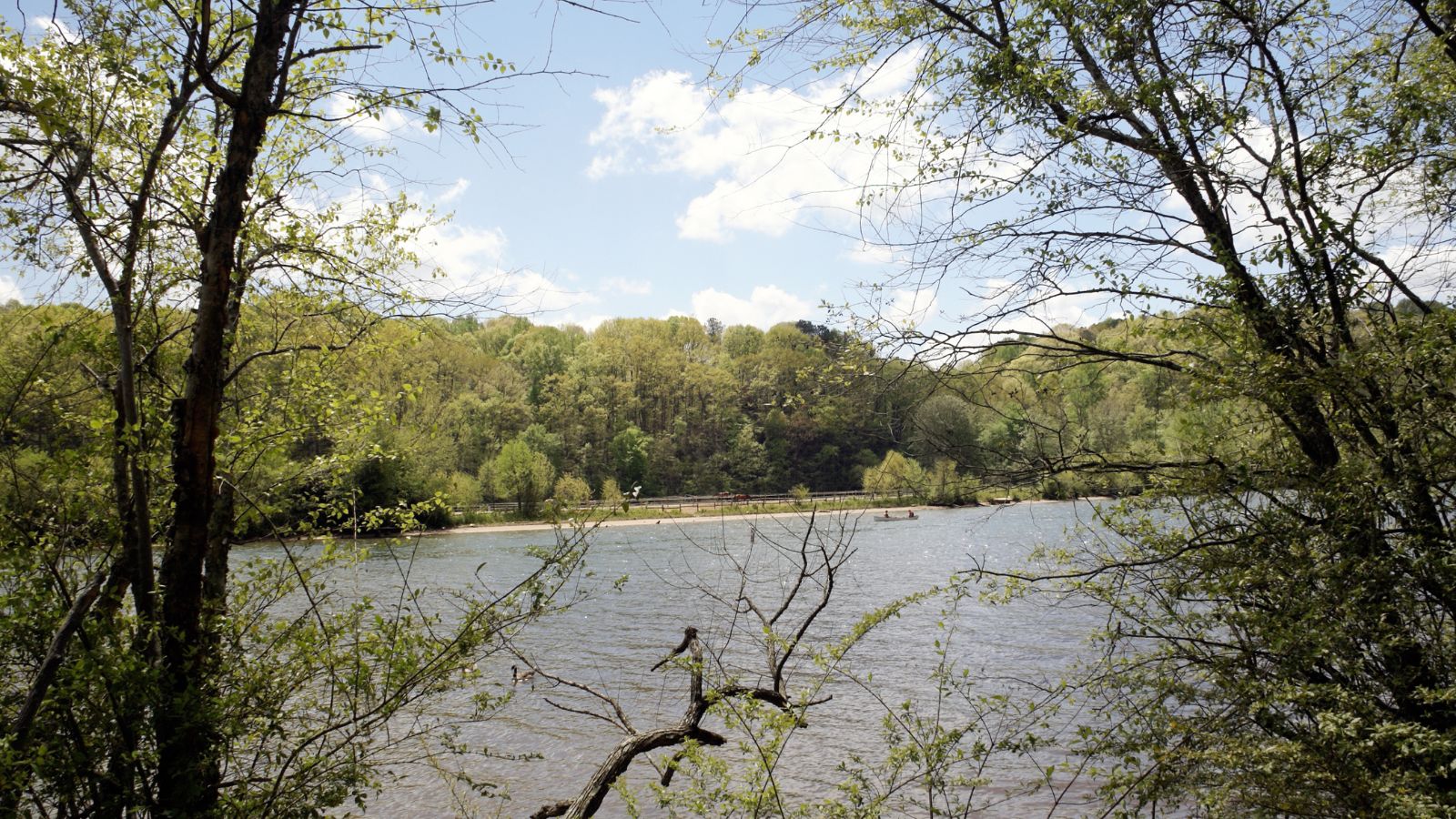
The Chattahoochee River forms a significant portion of the Alabama and Georgia border, as well as a portion of the Florida and Georgia border, and is a tributary of the Apalachicola River, formed by the confluence of the Chattahoochee and Flint rivers and emptying from Florida into Apalachicola Bay in the Gulf of Mexico.
The Chattahoochee River is around 430 miles long and makes up the largest part of the Apalachicola–Chattahoochee–Flint River Basin (ACF River Basin). The Chattahoochee River is known for its recreational activities, including fishing, kayaking, and canoeing.
Ocmulgee River

The Ocmulgee River is a western tributary of the Altamaha River, approximately 255 miles long, in the state of Georgia, and was formerly known by its Hitchiti name of Ocheese Creek, from which the Creek (Muscogee) people derived their name. The river and its tributaries provide drainage for some 6,180 square miles in parts of 33 Georgia counties, a large section of the Piedmont and coastal plain of central Georgia.
The name of the river may have come from the Hitchiti words oki (“water”) plus molki (“bubbling” or “boiling”), possibly meaning “where the water boils up,”. The Ocmulgee River basin has three river subbasins designated by the U.S. Geological Survey: the Upper Ocmulgee River subbasin, the Lower Ocmulgee River Subbasin, and the Little Ocmulgee River Subbasin.
Satilla River

The Satilla River is a 235-mile-long river in southeastern Georgia, rising in Ben Hill County near the town of Fitzgerald and flowing in a mostly easterly direction to the Atlantic Ocean, entering the ocean about 10 miles south of Brunswick, at the 31st parallel north.
The Satilla is the largest blackwater river situated entirely within Georgia, with white sandbars, and drains almost 4,000 square miles of land, all of it in the coastal plain of southeastern Georgia. The river derives its name from a Spanish officer named Saint Illa, and over time the name was corrupted to form the word Satilla. The French explorer Jean Ribault named the river the Somme when he encountered it in 1562, and the river was later given the name Aisne by Jacques le Moyne.
Ochlockonee River
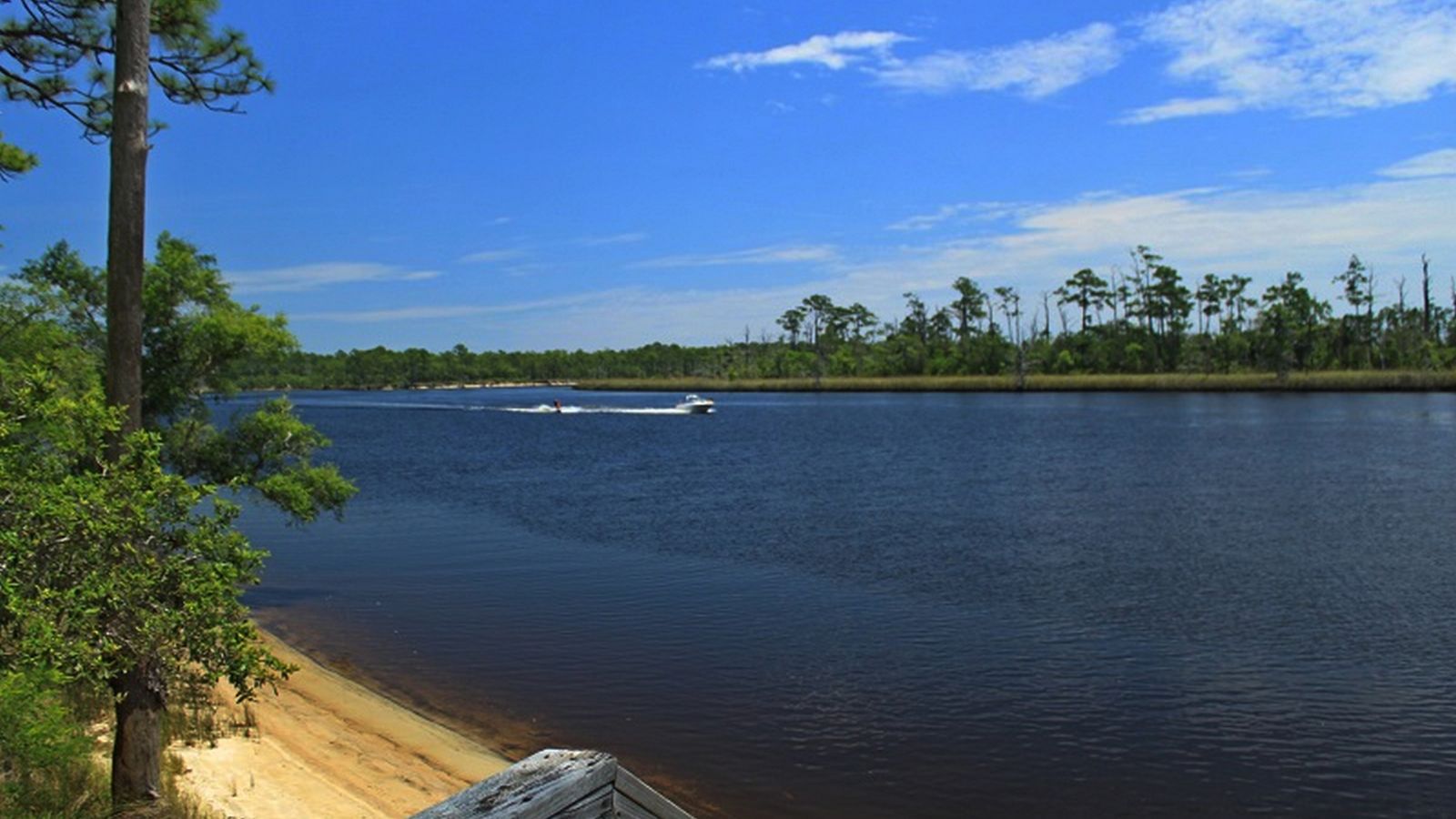
The Ochlockonee River is a fast-running river originating in Georgia and flowing for 206 miles before terminating in Florida, forming the western boundaries of Leon County and Wakulla County and the eastern boundaries of Gadsden County, Liberty County, and Franklin County in Florida.
The river flows through the Red Hills, the Jackson Bluff Dam, Talquin State Forest, Lake Talquin State Park, and the Apalachicola National Forest, and past Ochlockonee River State Park, where it is tidally influenced and a mixture of fresh, brackish, and salt water, on the way to its terminus in Ochlockonee Bay, which then empties into Apalachee Bay, with tidal influences extending upstream over 15 miles from the river’s mouth. The name of the river is from the Hitchiti language words for yellow river.
Alapaha River

The Alapaha River is a 202-mile-long river in southern Georgia and northern Florida and is a tributary of the Suwannee River, which flows to the Gulf of Mexico.
The river has a rich history, with references to a village of “Atapaha” resembling Alapaha, and the Spanish mission of Santa María de Los Angeles de Arapaha located along the lower reaches of the river from before 1630 until 1656. During the American Civil War, the swamps along the Alapaha River in Berrien, Irwin, and Echols counties became a refuge for a number of gangs of Confederate deserters.
Etowah River

The Etowah River is a 164-mile-long waterway that rises northwest of Dahlonega, Georgia, and flows west-southwest through Canton, Georgia, forming Lake Allatoona. It passes Cartersville and the Etowah Indian Mounds archaeological site, before flowing to Rome, Georgia, where it meets the Oostanaula River and forms the Coosa River at their confluence.
The river is the northernmost portion of the Etowah-Coosa-Alabama-Mobile Waterway, stretching from the mountains of north Georgia to Mobile Bay in Alabama. The Etowah River is home to the Cherokee darter and Etowah darter, which are listed on the Endangered Species List, and was officially named by the U.S. Board on Geographic Names in 1897.
Oostanaula River
The Oostanaula River is a principal tributary of the Coosa River, formed by the confluence of the Conasauga and Coosawattee rivers in northwestern Georgia. The river is approximately 49 miles long and flows generally south-southwestwardly through Gordon and Floyd counties, past the towns of Resaca and Calhoun, before joining the Etowah River in Downtown Rome to form the Coosa River.
The name Oostanaula is derived from a Cherokee language term, with folklore explanations stating that it means “rock that bars the way”, “shoally river”, or “a rock ledge across a stream”.
Broad River
The Broad River is a 60-mile-long tributary of the Savannah River in northeastern Georgia, with its North Fork beginning in the foothills of the Appalachian Mountains in Stephens County, then joining the Middle Fork west of Royston in Franklin County to form the main stem.
The Broad River continues south, being joined by the Hudson River flowing from the west out of Franklin County, and is known for its relatively unspoiled nature, with numerous shoals and mild rapids snaking through farmlands and bounded by bluffs of up to 200 feet in height.
Prior to the 19th century, the Broad River in Georgia was used as a border between the territories of the Cherokee bands to the north, and the Creek people to the south, and Meriwether Lewis, later known for the Lewis and Clark Expedition, grew up in this area in the 1780s.
Ohoopee River
The Ohoopee River is a 119-mile-long river in east-central Georgia and is a tributary of the Altamaha River, which flows to the Atlantic Ocean.
The river rises in Washington County, about 2 miles south of Tennille, and flows generally southeastwardly, through or along the boundaries of Johnson, Emanuel, Treutlen, Candler, Toombs, and Tattnall Counties, collecting the Little Ohoopee River, which rises in Washington County and flows generally southeastwardly through Johnson and Emanuel Counties, before joining the Ohoopee River in Emanuel County. The Ohoopee River joins the Altamaha River 13 miles south of Reidsville.
Canooche River
The Canoochee River is a 108-mile-long river in southeastern Georgia and is a tributary of the Ogeechee River, which flows to the Atlantic Ocean.
The river is formed by the confluence of Canoochee Creek and Little Canoochee Creek, about 12 miles southeast of Swainsboro in southwestern Emanuel County, and flows generally southeastwardly through or along the boundaries of Candler, Evans, Bryan, and Liberty counties, through Fort Stewart, before joining the Ogeechee River from the west in Bryan County, 15 miles south-southwest of Savannah.
The Trustees of the colony mentioned the proposed house and ferry boat over the ‘Cooanoochi River’ in 1738.
St. Marys River

The St. Marys River is a 126-mile-long river in the southeastern United States, forming a portion of the border between the U.S. states of Georgia and Florida, and serving as the southernmost point in the state of Georgia.
The river rises as a tiny stream, River Styx, flowing from the western edge of Trail Ridge, and into the southeastern Okefenokee Swamp, before arching to the northwest, losing its channel within the swamp, then turning back to the southwest and reforming a stream, at which point it becomes the St. Marys River.
The river was known to the Indians of the area as Thlathlothlaguphka or Phlaphlagaphgaw, meaning “rotten fish”, and was named the Seine by French explorer Jean Ribault when he encountered it in 1562.
Lakes
Lake Hartwell
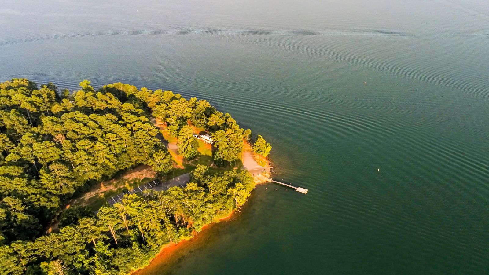
Lake Hartwell is a man-made reservoir located on the border of Georgia and South Carolina and is one of the Southeastern United States’ largest recreation lakes. The lake was created by the construction of the Hartwell Dam, completed in 1962 and located on the Savannah River, and encompasses parts of the Savannah, Tugaloo, and Seneca rivers.
Extending 49 miles up the Tugaloo and 45 miles up the Seneca at normal pool elevation, the lake comprises nearly 56,000 acres of water with a shoreline of 962 miles, and the entire Hartwell “Project” contains 76,450 acres of land and water.
Lake Sidney Lanier

Lake Lanier, officially known as Lake Sidney Lanier, is a reservoir in the northern portion of Georgia, created by the completion of the Buford Dam on the Chattahoochee River in 1956, and fed by the waters of the Chestatee River.
The lake encompasses 38,000 acres of water with 692 miles of shoreline at normal level and was named after poet Sidney Lanier. It was built and operated by the U.S. Army Corps of Engineers for flood control and water supplies. The lake has responsibilities to regulate flow for flood control and water use and has to ensure that water is available to fulfill federal mandates under the Endangered Species Act, in order to support downstream species.
Walter F. George Lake

The Walter F. George Lake, also known as Lake Eufaula, is a 46,000-acre lake formed on the Chattahoochee River along the state line between Alabama and Georgia, named after Walter F. George, a United States senator from Georgia. The lake extends north about 85 miles from the Walter F. George Lock and Dam and has approximately 640 miles of shoreline, making it a popular spot for camping and trophy fishing.
The lake is primarily controlled by the United States Army Corps of Engineers, while the states control several other protected lands along the lake, including the Eufaula National Wildlife Refuge and Lakepoint State Park in Alabama, and Florence Marina and George T. Bagby state parks in Georgia.
Russell Lake
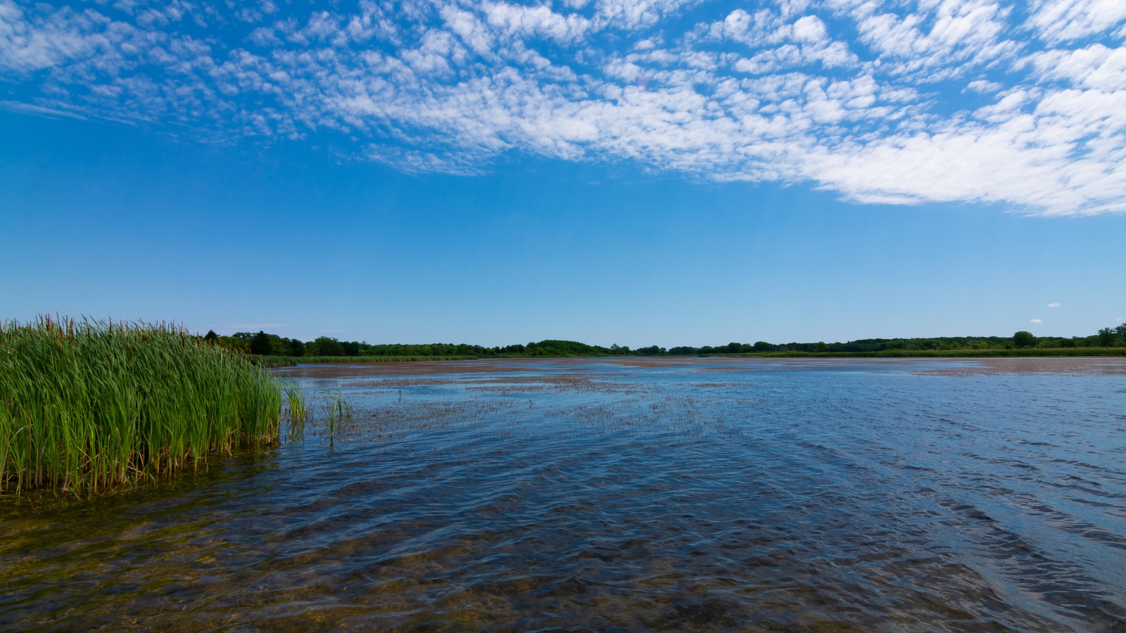
Richard B. Russell Lake, also known as Lake Russell, is a reservoir created by the U.S. Army Corps of Engineers due to the construction of the Richard B. Russell Dam on the Savannah River, bordering Elbert County, Georgia, and Abbeville and Anderson counties in South Carolina.
The lake impounds primarily the Savannah River, but also includes Beaverdam Creek on the Georgia side and Rocky River on the South Carolina side. The lake consists of 26,650 acres of water and 540 miles of shoreline and was named after U.S. Senator Richard Brevard Russell, Jr. Unlike its neighbors, Lake Hartwell and Lake Strom Thurmond, federal regulations prohibit private use of the public lands surrounding Lake Russell.
West Point Lake

West Point Lake is a man-made reservoir located mostly in west-central Georgia on the Chattahoochee River, maintained by the U.S. Army Corps of Engineers (USACE). The lake contains 25,864 acres of water and has a shoreline of 604 miles, making it the smallest by area and having the second shortest shoreline of the four major USACE lakes in the ACF River Basin.
The reservoir serves the purposes of providing flood control, hydroelectric power, and water storage to aid the navigation of the lower Chattahoochee. The Chattahoochee River flows in from the north, before flowing through the West Point Dam, which impounds the lake, and continuing to Columbus, Georgia.
Lake Sinclair
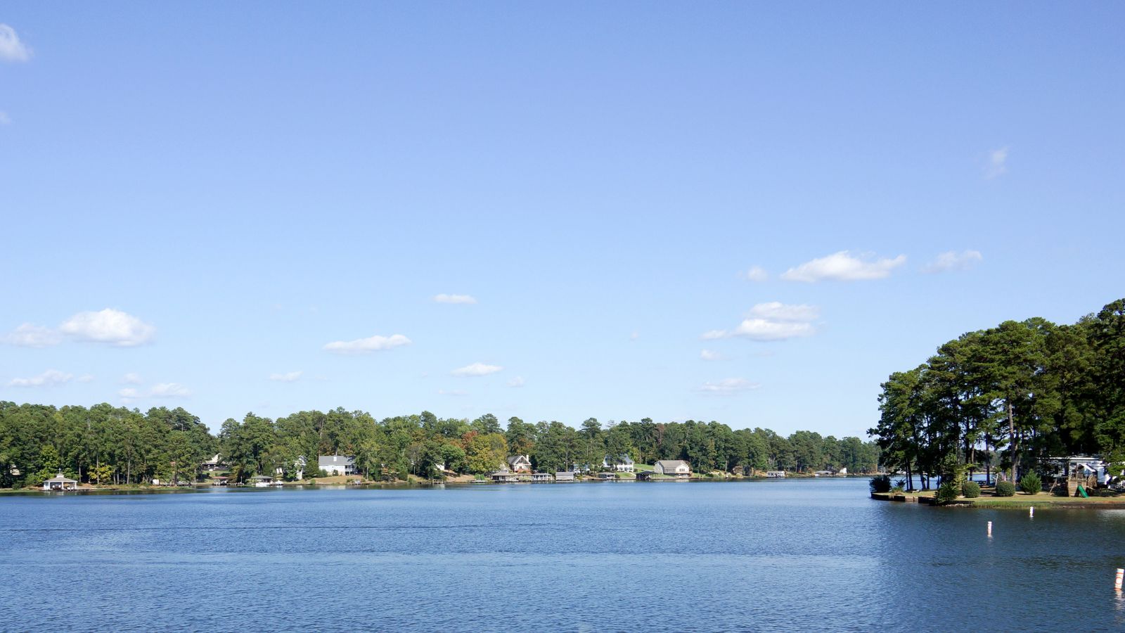
Lake Sinclair is a man-made lake in central Georgia near Milledgeville, operated by Georgia Power and named after Benjamin W. Sinclair, a Georgia Power official. The lake stretches through the counties of Baldwin, Hancock, and Putnam, with approximately 417 miles of scenic shoreline, winding coves, and inlets as well as several vast stretches of open water, offering recreational boating pleasure.
The lake is made up of a 15,330-acre area of water and provides both electricity and recreation, with Milledgeville being the largest city on Lake Sinclair, though most of the lake is located in Putnam County.
Lake Blackshear
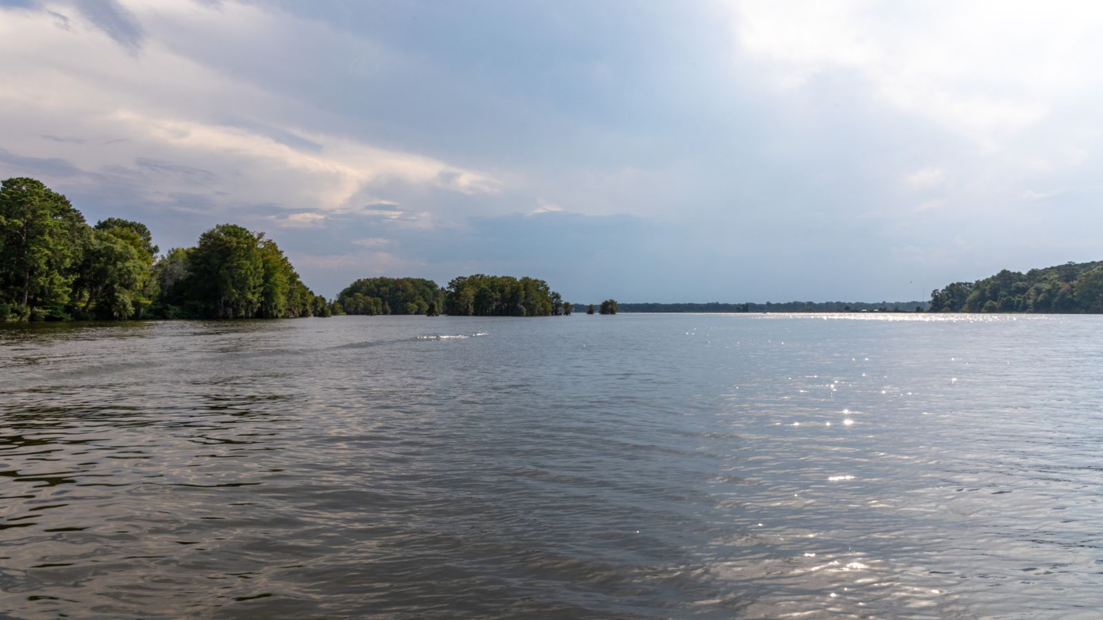
Lake Blackshear is a man-made lake on the Flint River in Georgia, created by a dam that was constructed from 1925 to 1930 and named after General David Blackshear, the founder of Fort Early. The lake covers approximately 8,500 acres and is approximately 20 miles long, varying in width but rarely more than one mile wide.
The Georgia Veterans State Park is located on the east side of the lake, and nestled in the middle of the park is Lake Blackshear Resort & Golf Club, providing visitors with views of the lake.
Allatoona Lake
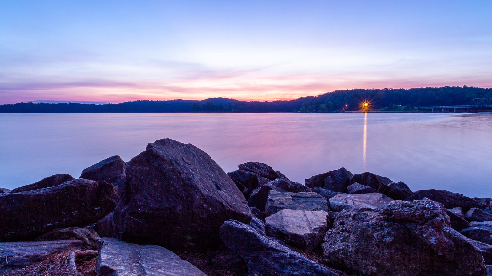
Allatoona Lake, also known as Lake Allatoona, is a U.S. Army Corps of Engineers reservoir on the Etowah River in the northwestern part of the state of Georgia, mostly in southeastern Bartow County and southwestern Cherokee County, with a small portion located in Cobb County near Acworth.
Red Top Mountain State Park is located on its shores, on the peninsula between the two arms of the lake, while most of the north side of the lake remains protected from land development because of its isolated location, mostly blocked by the lake. The major highways Interstate 75 and U.S. Highway 41 pass along the southern and western sides of Lake Allatoona, and they cross the Etowah River downstream from the Allatoona Dam, with Cartersville being the nearest city.
Lake Seminole
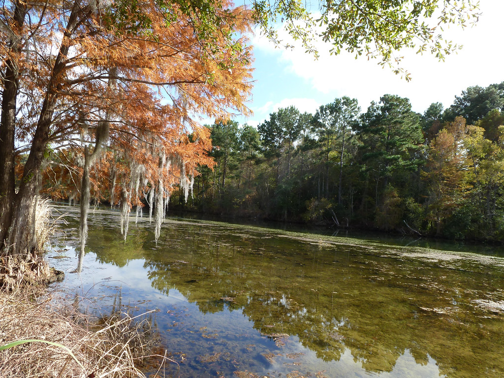
Lake Seminole is a reservoir located in the southwest corner of Georgia along its border with Florida, maintained by the U.S. Army Corps of Engineers. The lake contains 37,500 acres of water and has a shoreline of 376 miles, formed by the Chattahoochee and Flint rivers joining in the lake, before flowing from the Jim Woodruff Lock and Dam, which impounds the lake, as the Apalachicola River.
The lake is home to various fish species, including largemouth bass, crappie, chain pickerel, catfish, and striped bass, as well as American alligators, snakes, and various waterfowl, making it a popular spot for goose hunting.
Jackson Lake
Jackson Lake, located 44 miles southeast of Atlanta in a rural area situated within parts of three counties (Jasper, Newton, and Butts), is one of the oldest reservoirs in Georgia, with the Lloyd Shoals Dam built in 1910 by Central Georgia Power Company to generate electricity for the city of Macon.
The lake is smaller compared to others in the state, covering about 4,750 acres with 135 miles of shoreline, but still generates electricity and provides a location for water sports, boating, wakeboarding, and fishing. The lake is formed by the confluence of the Yellow, Alcovy, and South Rivers, with Tussahaw Creek being a significant tributary, and its outlet is the Ocmulgee River below the Lloyd Shoals Dam.

