Celebrated for its pivotal role in American history and cultural richness, Virginia boasts some beautiful rivers and lakes!
These bodies of water are not only picturesque, but many of them carry stories of exploration and trade among the early American settlers.
Below, we’ve compiled a full guide of the rivers and lakes present in Virginia State that you can visit on your travels, so keep reading to learn more!
Printable Virginia Lakes and Rivers Map
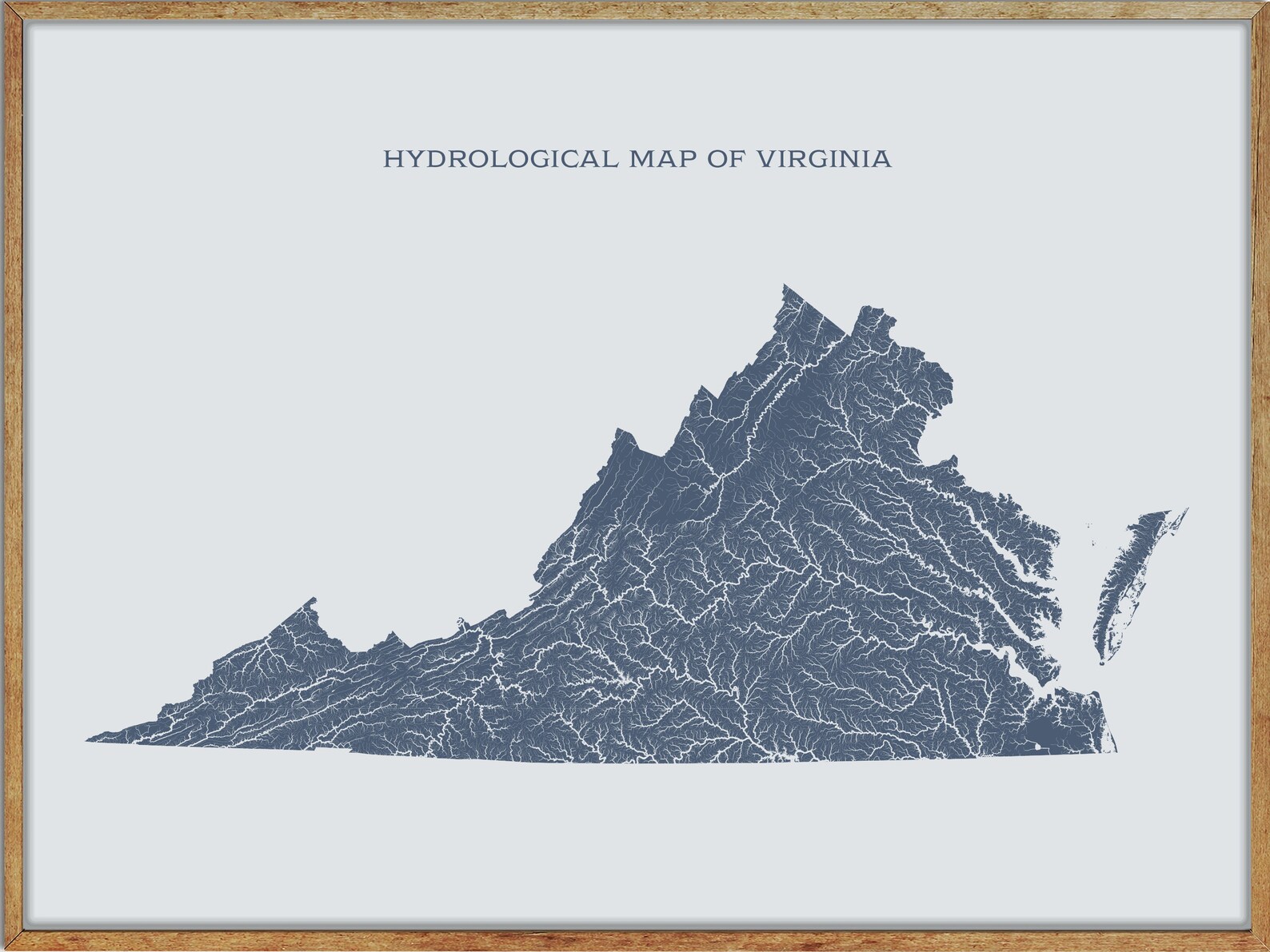
Rivers Map
James River

The James River is the longest river in Virginia, flowing 348 miles from the Appalachian Mountains to the Chesapeake Bay (444 miles if the Jackson River is included, which is the longest of its two headwaters).
The river has played a significant role in Virginia’s history, with Jamestown and Williamsburg being the first colonial capitals, and Richmond, Virginia’s current capital, all lying on the James River. The river is also a popular spot for recreational activities such as fishing, boating, and kayaking.
Clinch River
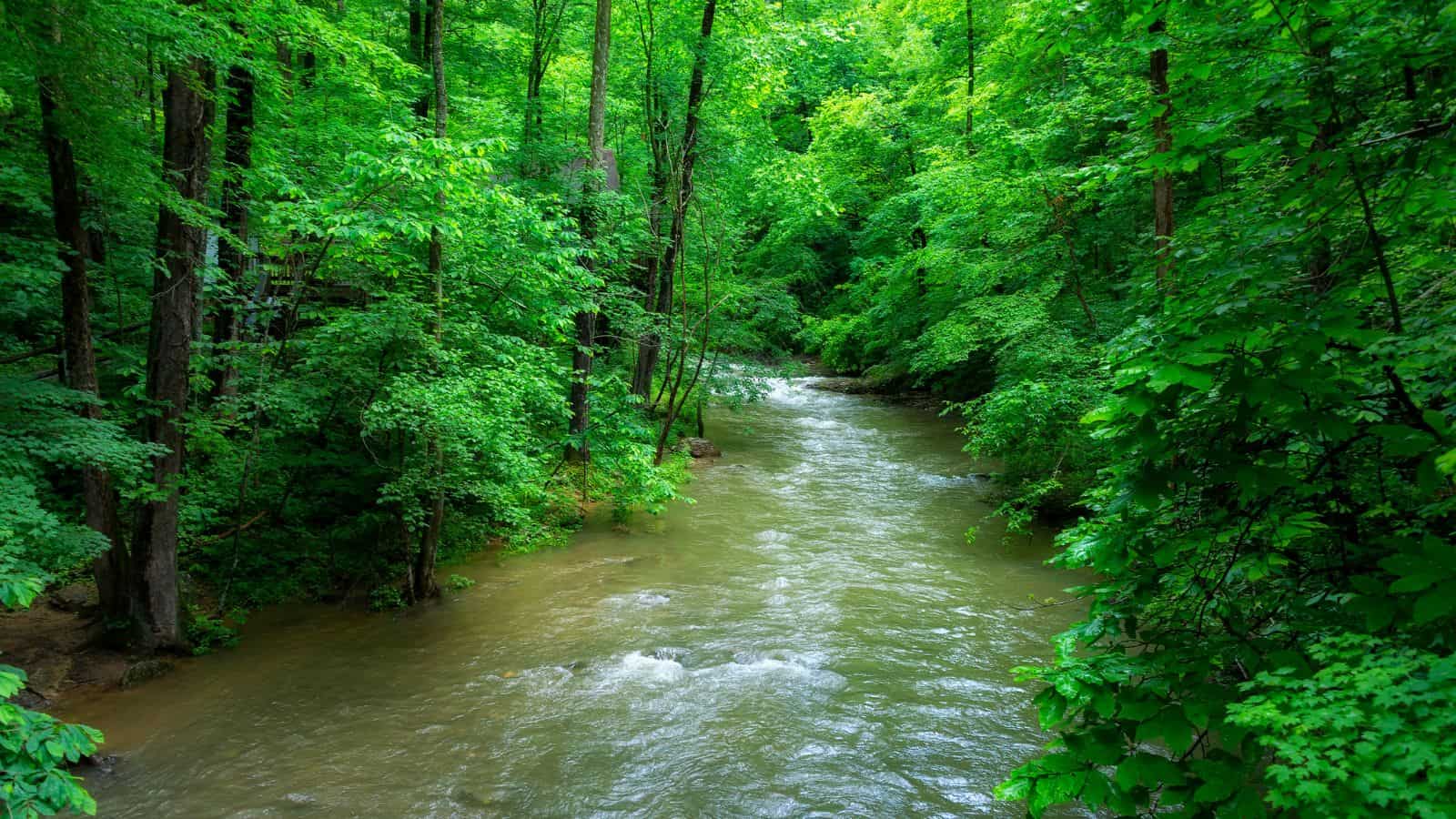
The Clinch River flows southwest for more than 300 miles through the Great Appalachian Valley in Virginia and Tennessee, gathering various tributaries, including the Powell River, before joining the Tennessee River in Kingston.
The river is dammed twice, by Norris Dam, the first dam built by the Tennessee Valley Authority, and by the Melton Hill Dam, the only TVA dam with a navigation lock that isn’t located on the main channel of the Tennessee River.
The Clinch River is an important tributary of the Tennessee River, and its drainage basin includes various tributaries such as Coal Creek, Hinds Creek, Bull Run Creek, and Beaver Creek.
Roanoke River
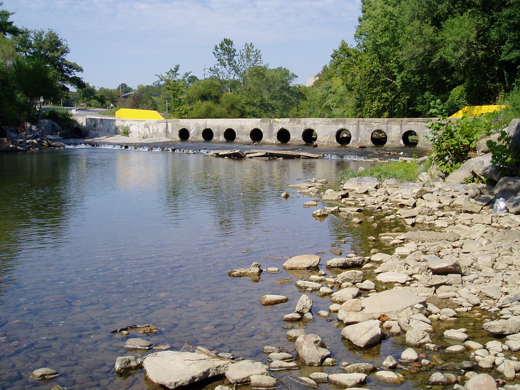
The Roanoke is a major river in the southeastern United States, running 410 miles through southern Virginia and northeastern North Carolina. It drains a largely rural area of the coastal plain from the eastern edge of the Appalachian Mountains southeast across the Piedmont to Albemarle Sound.
The river was an important site of early settlement in the Virginia Colony and the Carolina Colony, and an 81-mile section known as the Staunton River.
The Roanoke River State Trail is a paddle trail that follows the lower portion of the river, from Roanoke Rapids to the Albemarle Sound, and the river is impounded along much of its middle course to form a chain of reservoirs.
Rappahannock River

The Rappahannock River is an important river in American history, approximately 195 miles in length, traversing the entire northern part of Virginia, from the Blue Ridge Mountains in the west to the Chesapeake Bay in the east.
The river was an area of occupation by indigenous peoples, and early settlements in the Virginia Colony were formed along the river.
During the American Civil War, the river effectively functioned as the boundary of the eastern theater of the war. It was at the center of a major theater of battle where tens of thousands of troops fought against each other.
The river drains an area of 2,848 square miles, and much of the watershed is rural and forested. However, development in the area has increased since the late 20th century with the southward expansion of the metropolitan Washington, D.C. suburbs.
Shenandoah River
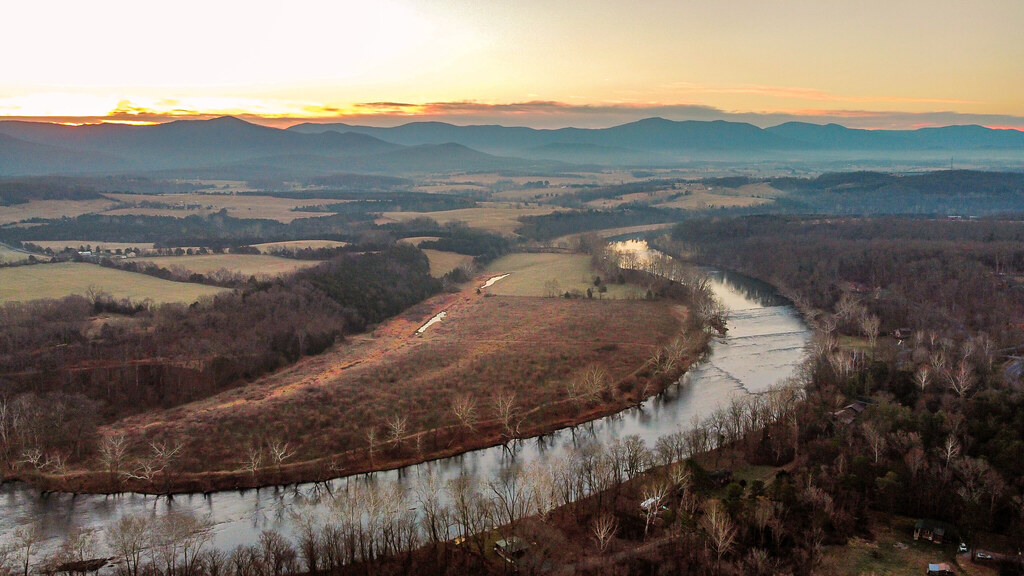
The Shenandoah River is the principal tributary of the Potomac River, approximately 55.6 miles long with two forks approximately 100 miles long each, in Virginia and West Virginia.
The river and its tributaries drain the central and lower Shenandoah Valley and the Page Valley in the Appalachians on the west side of the Blue Ridge Mountains, in northwestern Virginia and the Eastern Panhandle of West Virginia.
The Shenandoah River is formed northeast of Front Royal near Riverton, by the confluence of the South Fork and the North Fork, and it flows northeast across Warren County, passing underneath Interstate 66.
North Anna River
The North Anna River is a principal tributary of the Pamunkey River, approximately 62 miles long, in central Virginia.
The river’s course is used to define all or portions of the southern boundaries of Orange, Spotsylvania, and Caroline counties, and the northern boundaries of Louisa and Hanover counties.
Interestingly, the North Anna River was the site of the Battle of North Anna during the American Civil War.
York River

The York River is a navigable estuary, approximately 34 miles long, in eastern Virginia. Its banks were inhabited by indigenous peoples for thousands of years, and in 2003, evidence was found of the likely site of Werowocomoco, one of two capitals used by the paramount chief Powhatan before 1609.
The river was the scene of early settlements of the Virginia Colony and played a significant role in both the American Revolutionary War and the American Civil War.
The York River is formed at West Point, approximately 35 miles east of Richmond, by the confluence of the Mattaponi and Pamunkey rivers. It drains into the Chesapeake Bay towards the southeast, entering the bay approximately 5 miles east of Yorktown.
New River
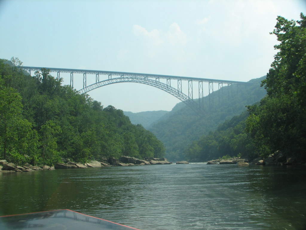
The New River flows through the U.S. states of North Carolina, Virginia, and West Virginia before joining with the Gauley River to form the Kanawha River at the town of Gauley Bridge.
Despite its name, the New River is one of the five oldest rivers in the world geologically, and its origins of the name are unclear.
The New River Gorge isn’t only quite scenic but also offers numerous opportunities for white-water recreation, such as rafting and kayaking, and many open ledges along the rim of the gorge offer popular views.
Some favorites includes Hawks Nest State Park and various overlooks on lands of the New River Gorge National Park and Preserve.
Appomattox River

The Appomattox River is a tributary of the James River, approximately 157 miles long, in central and eastern Virginia, named for the Appomattocs Indian tribe who lived along its lower banks in the 17th century.
It rises in the middle of a field near State Route 656 (Horseshoe Road) in the Piedmont of northeastern Appomattox County, flows southeast through the Appomattox-Buckingham State Forest to Farmville, and then flows in a large arc northeast then southeast across the coastal plain.
It passes southwest of Richmond and through the Lake Chesdin reservoir, before joining the James River from the west at City Point in Hopewell.
Mattaponi River
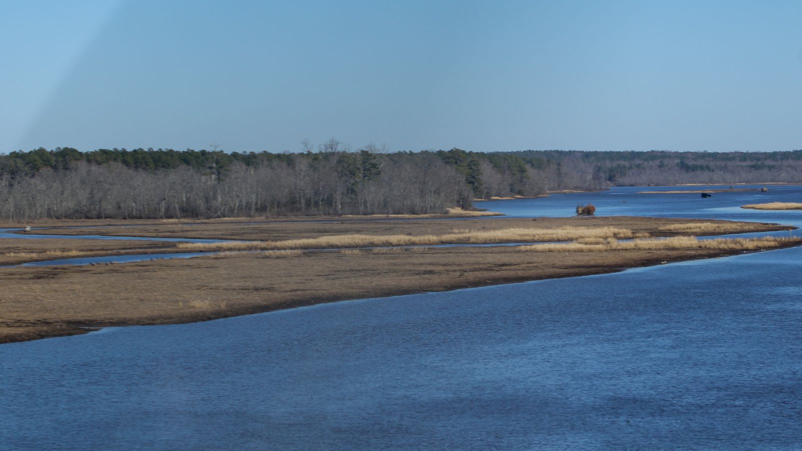
The Mattaponi River is a 103-mile-long tributary of the York River estuary in eastern Virginia in the United States.
Historically, it has been known by a variety of names and alternate spellings, including Mat-ta-pa-ment, Matapanient River, Matapany River, Matapeneugh River, Mattapanient River, Mattaponie River, Mattapony River, and Riviere de Mattapony.
There have been debates over a proposed reservoir on the Mattaponi River, with environmental groups, members of the Mattaponi Indian tribe, and residents of King William County opposing Newport News Waterworks in their efforts to build the King William Reservoir.
Pamunkey River
The Pamunkey River is a tributary of the York River. It’s about 93 miles long, in eastern Virginia in the United States, and via the York River, it is part of the watershed of Chesapeake Bay.
It is formed by the confluence of the North Anna and South Anna rivers on the boundary of Hanover and Caroline counties, about 5 miles northeast of the town of Ashland, and it flows southeast past the Pamunkey Indian Reservation to the town of West Point, where it meets the Mattaponi River to form the York River.
The river’s course is used to define all or portions of the southern boundaries of Caroline and King William counties and the northern boundaries of Hanover and New Kent counties.
Meherrin River
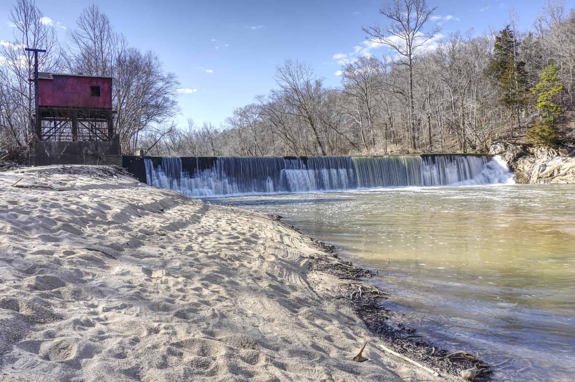
The Meherrin River is a 143.37-mile-long 6th-order tributary to the Chowan River that joins in Hertford County, North Carolina.
For most of its length, the Meherrin isn’t large enough for commercial traffic, and it widens somewhat between Murfreesboro, North Carolina, and the Chowan.
The river was named after the Meherrin Indians, whose territory was along it, and prior to the American Civil War, this section of the river was a significant trading route for Northeastern North Carolina. A twenty-foot-high dam on the river creates a reservoir in Emporia.
Rapidan River
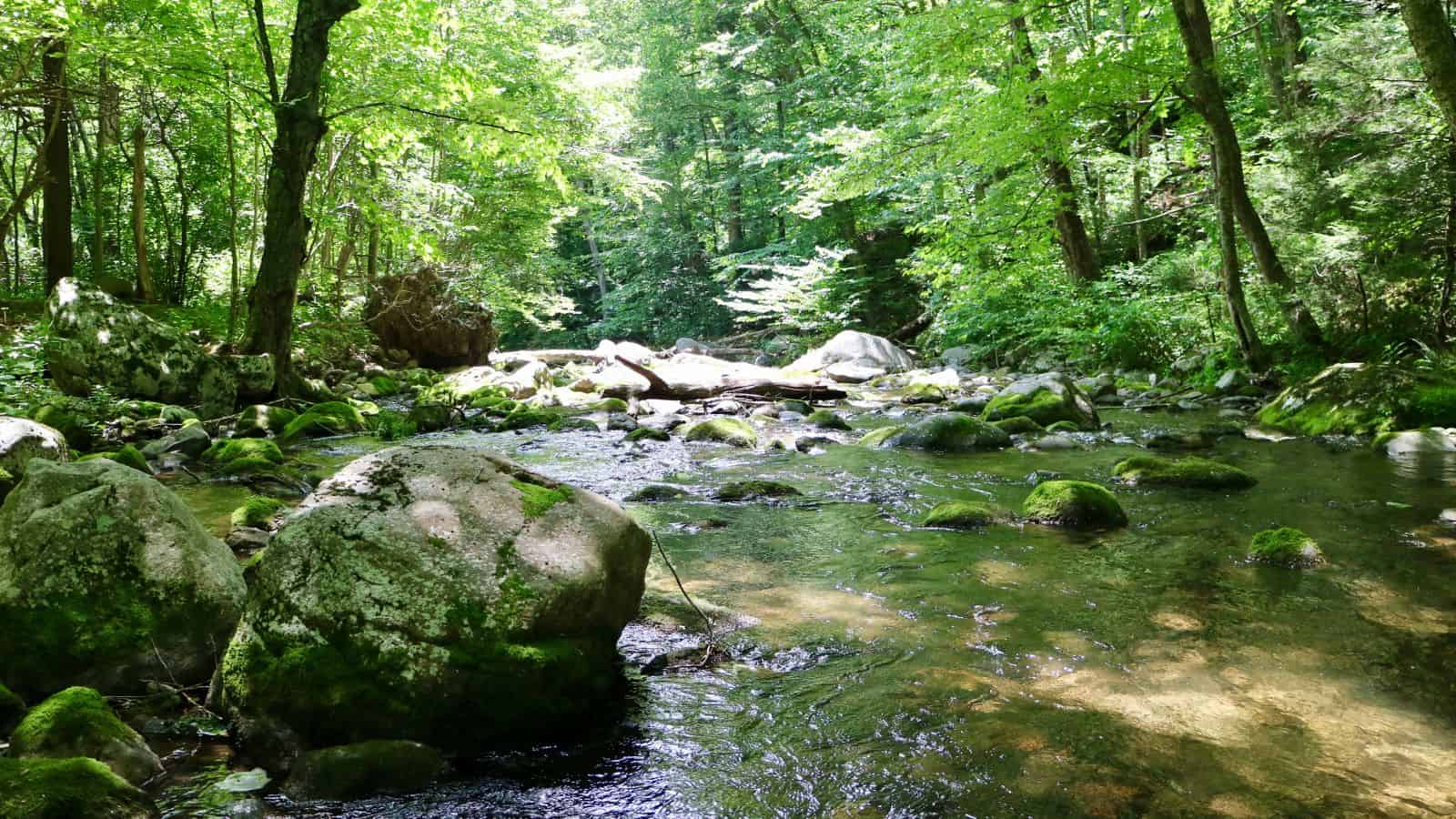
The Rapidan River is the largest tributary of the Rappahannock River, flowing 88 miles through north-central Virginia in the United States.
It begins west of Doubletop Mountain in Shenandoah National Park where the Mill Prong meets the Laurel Prong at Rapidan Camp, and the river defines the border of Orange County with Culpeper and Madison Counties.
The Rapidan River was the scene of severe fighting in the American Civil War, and historic sites such as Ely’s Ford, Chancellorsville, Brandy Station, Kelly’s Ford, and the Battle of the Wilderness are nearby.
Additionally, the Rapidan River ranks #38 in Trout Unlimited’s Guide to America’s 100 Best Trout Streams.
Rivanna River
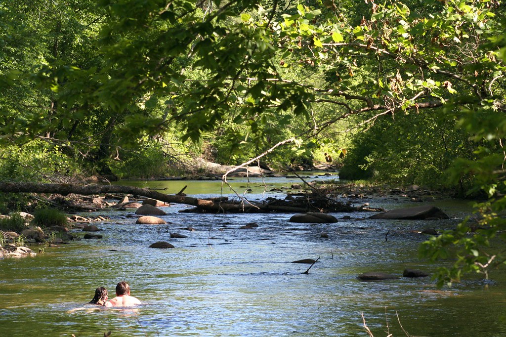
The Rivanna River is a 42.1-mile-long tributary of the James River in central Virginia in the United States. Its tributaries originate in the Blue Ridge Mountains, and via the James River, it is part of the watershed of Chesapeake Bay.
The Rivanna River is formed in Albemarle County about 4 miles northeast of Charlottesville by the confluence of two tributaries, the North Fork Rivanna River and the South Fork Rivanna River.
It flows southeast through Albemarle County, skirting the eastern edge of Charlottesville and breaching the Southwest Mountains near Monticello before entering the James River at the town of Columbia.
Maury River
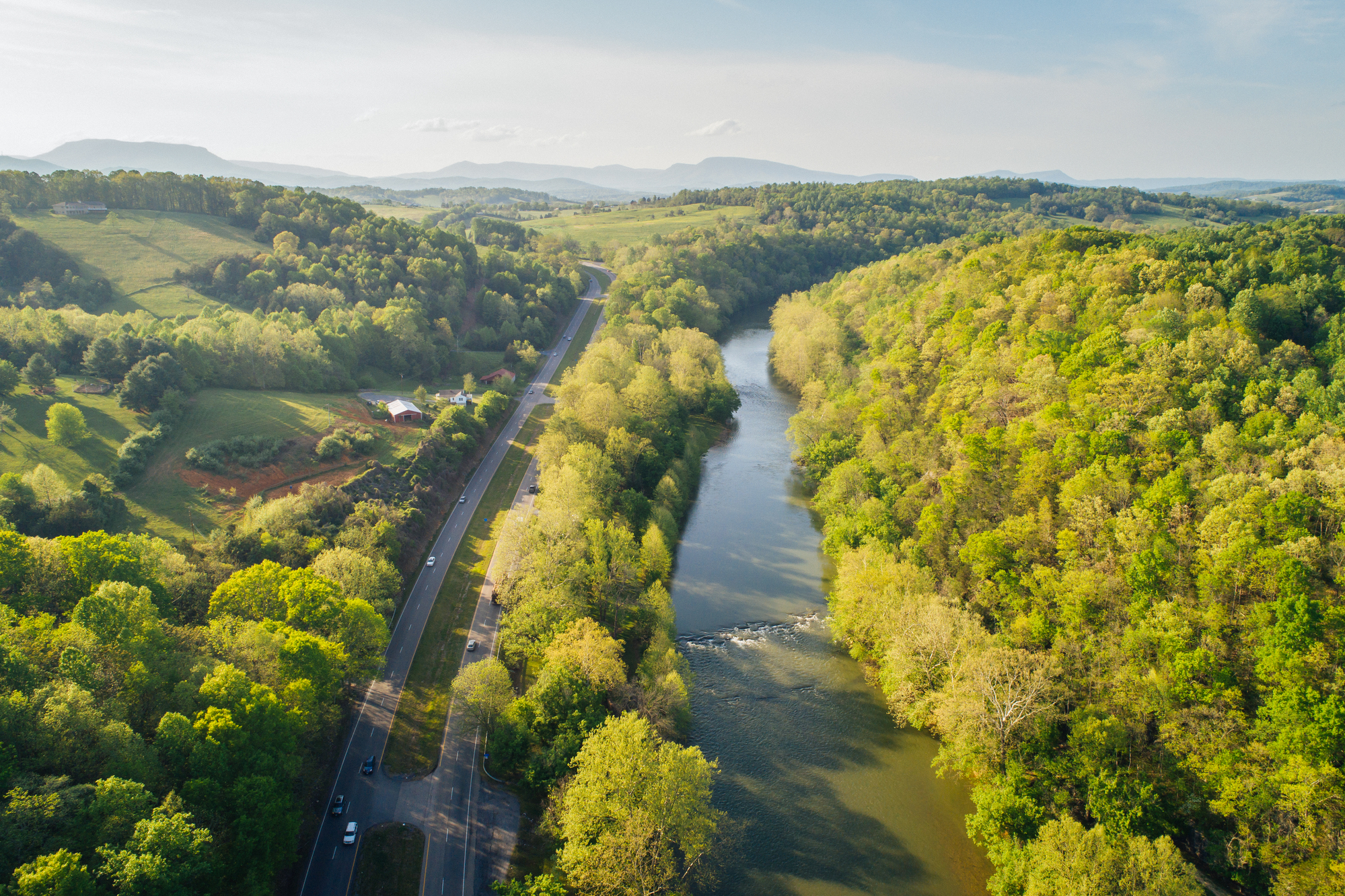
The Maury River is a 42.8-mile-long tributary of the James River in west-central Virginia in the United States, and it’s part of the watershed of Chesapeake Bay.
The Maury River flows for its entire length in Rockbridge County, and it is formed near Goshen by the confluence of the Calfpasture and Little Calfpasture rivers.
It flows south past Lexington and Buena Vista, collecting the South River between the cities, and it ultimately flows into the James River at Glasgow.
Blackwater River
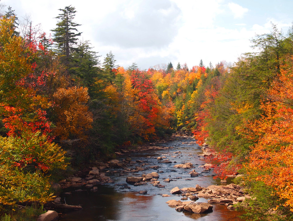
The Blackwater River of southeastern Virginia flows from its source near the city of Petersburg, Virginia for about 105 miles through the Inner Coastal Plain region of Virginia.
It is a true blackwater river, with clear, dark, slightly acidic, and tannin-stained water, and its flood plain is mostly forested and swampy, including bald cypress and tupelo swamp forests.
The Blackwater River was a transportation route in the 17th and 18th centuries, connecting the Chesapeake Bay settlements with the Albemarle Settlements.
It actually became one of the early migration routes southward from the James River into the region then called Southside Virginia, and beyond into the Albemarle District of Carolina.
Jackson River
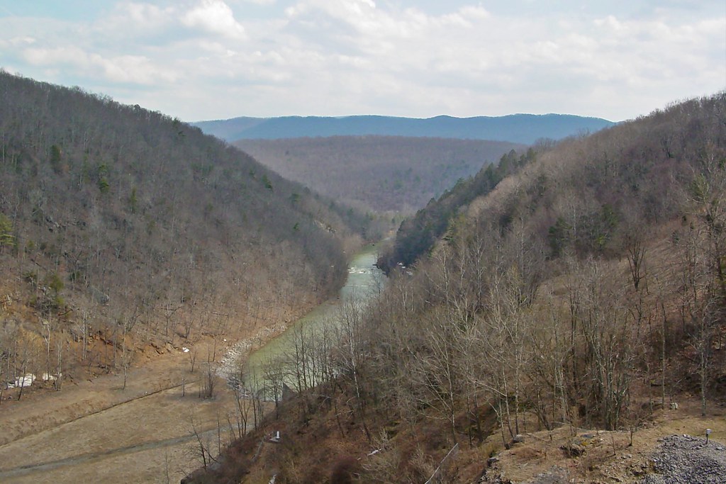
The Jackson River is a major tributary of the James River in the U.S. state of Virginia, flowing 96.4 miles. It rises in Highland County, Virginia, near the border of West Virginia, and flows south between Back Creek Mountain and Jack Mountain, entering Bath County, where it continues to flow south.
The Jackson River is impounded by Gathright Dam in Alleghany County, creating Lake Moomaw, and it flows south and then east through Alleghany County before joining with the Cowpasture River to create the James River.
The river is named for the first white settler on its banks, William Jackson, who received a grant of 270 acres from King George II in 1750.
Cowpasture River

The Cowpasture River is a chief tributary of the James River in western Virginia in the United States, and it is 84.4 miles long.
The Cowpasture River rises in northeastern Highland County and flows generally southwestwardly, initially between Bullpasture Mountain and Shaws Ridge through a narrow valley floor near the George Washington National Forest.
It is joined by many small streams in eastern Bath County and becomes deep enough for year-round boating downstream of the community of Millboro Springs. The Cowpasture River joins the Jackson River to form the James River near the town of Iron Gate in Botetourt County.
Dan River
The Dan River flows 214 miles in North Carolina and Virginia. It rises in Patrick County and flows into Stokes County, NC, before flowing back into Virginia through Pittsylvania County and reentering North Carolina.
The river flows into northern Caswell County then back into southern Virginia and finally into the Kerr Reservoir on the Roanoke River.
The river was named by William Byrd II in 1728 during an expedition to survey the Virginia border, and it is also the name of the southeastern political district of Pittsylvania County.
Smith River
The Smith River is a tailrace stream in the U.S. states of Virginia and North Carolina, and it is a tributary of the Dan River, which it joins at Eden, North Carolina.
The river is fed by water from Philpott Lake and regulated at Philpott Dam for hydroelectric power generation, downstream water temperature control, and adequate water levels for recreational use.
The Smith River runs 44.5 miles through Franklin County and Henry County in Virginia before reaching the North Carolina border, and it runs an additional 5.25 miles through Rockingham County, North Carolina before joining the Dan River.
Lakes Map
John H Kerr Reservoir
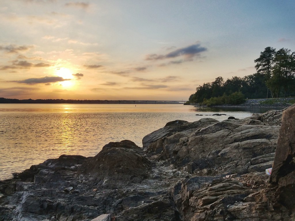
The John H. Kerr Reservoir, also known as Kerr Lake or Bugg’s Island Lake, is a reservoir along the border of the U.S. states of North Carolina and Virginia.
Constructed by the U.S. Army Corps of Engineers, the John H. Kerr Dam produces hydroelectricity and controls floods.
The reservoir has 850 miles of shoreline and covers approximately 50,000 acres at its maximum capacity, making it the largest lake in Virginia and one of the largest reservoirs in the Southeastern United States.
Its name honors its Congressional sponsor, John H. Kerr, and the lake supports recreational tourism in North Carolina and Virginia.
Smith Mountain Lake
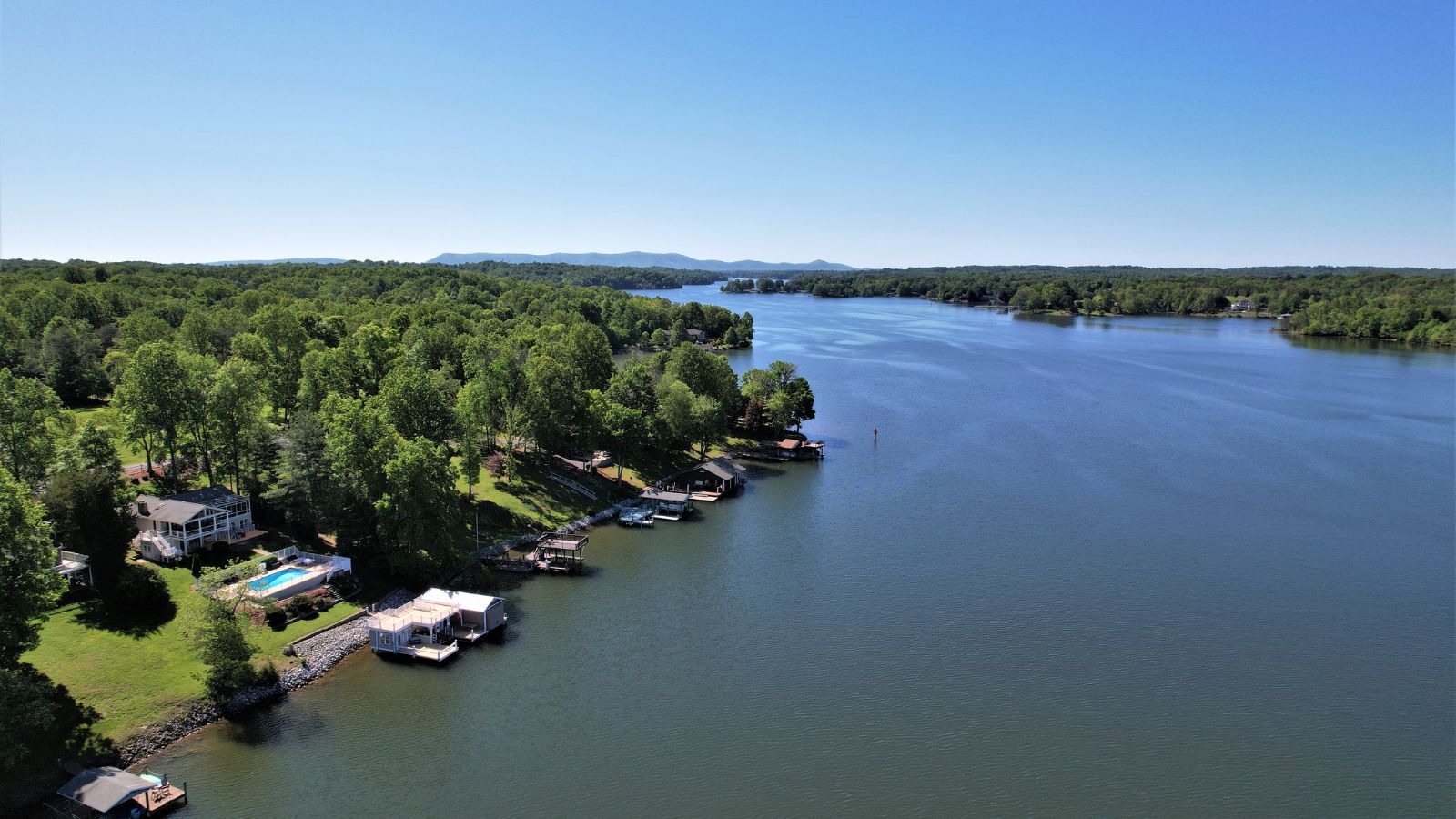
Smith Mountain Lake is the largest lake contained entirely within the Commonwealth of Virginia, located southeast of the City of Roanoke and southwest of Lynchburg.
The lake was created in 1963 by the Smith Mountain Dam impounding the Roanoke River. The majority of the south shore of the lake lies in Franklin County, while a small portion, including access to the dam, lies in Pittsylvania County.
Bedford County makes up the northern half of the lake with the Roanoke River as the dividing line. The lake has become a popular recreation spot and has also experienced significant development in the last decade.
South Holston Lake
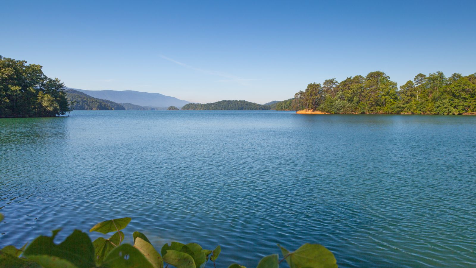
South Holston Lake is a 7,580-acre impoundment located near the town of Abingdon, Virginia, and the city of Bristol, Virginia/Tennessee.
Operated by the Tennessee Valley Authority, much of the reservoir is in Tennessee, but the Virginia portion of the reservoir offers anglers more than 1,600 acres of water.
Anglers from both states can fish the entire lake with the purchase of a South Holston Reservoir Fishing License.
Lake Chesdin
Lake Chesdin, also known as Chesdin Reservoir, is a popular fishing area located on the border of Chesterfield County and Dinwiddie County in south-central Virginia, going upstream into Amelia County.
The lake provides water and power to the region and is known for its great opportunities for largemouth bass, as well as populations of crappie, bluegill, walleye, striped bass, channel catfish, gizzard shad, and white perch.
The dam and reservoir are located in the Appomattox watershed at the political boundary of Chesterfield, Amelia, and Dinwiddie Counties, with the crest of the dam measuring about 840 feet long and the reservoir having a drainage area of about 1,333 square miles.

