Amid the rolling hills and vibrant cityscapes of the Show-Me State, another narrative unfurls – one etched not only in its history but also in the sinuous paths of its rivers and the reflective surfaces of its lakes. Missouri, celebrated for its heartland values and cultural diversity, cradles within its embrace a hidden gem – a network of waterways that mirrors its legacy of exploration and growth.
Just as stories are whispered around campfires, Missouri’s rivers and lakes carry tales of perseverance, trade, and the rhythmic pulse of its people. In this article, we embark on a journey that traces the waterways of Missouri’s rivers and gazes into the tranquil depths of its lakes.
Join us as we delve into the significance of these aqueous chapters, uncovering their influence on the state’s identity, culture, and livelihoods, and illuminating the dynamic relationship that water has woven into the very fabric of the Show-Me State.
Printable Missouri Lakes and Rivers Map
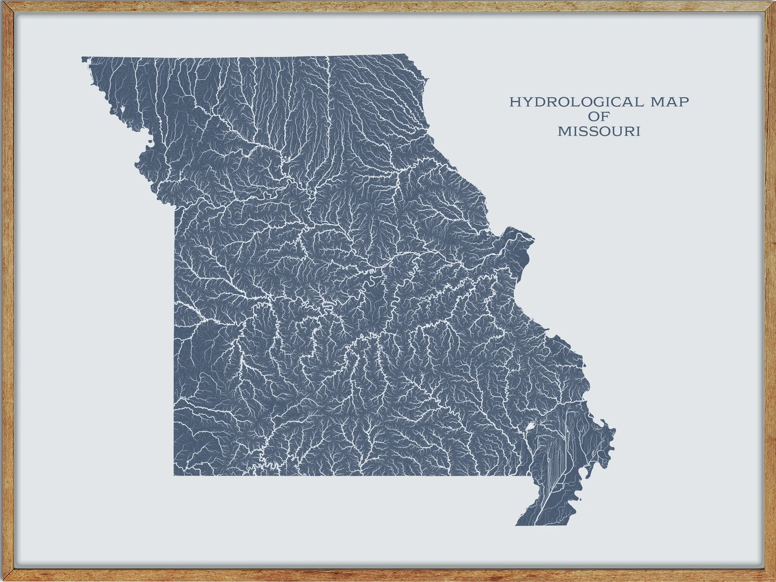
Rivers
Missouri River
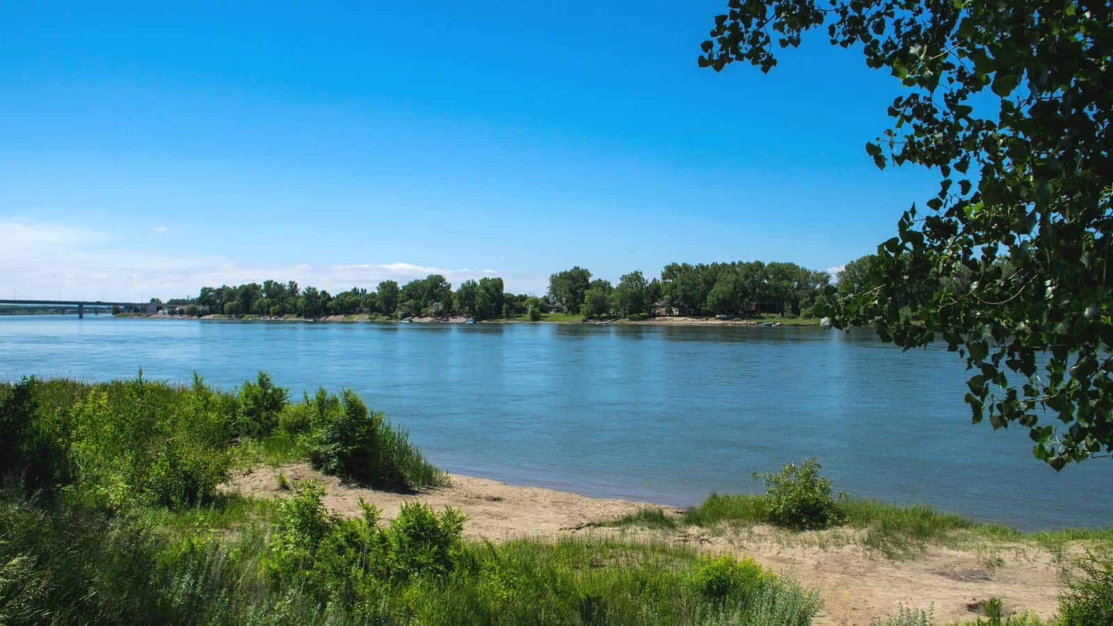
The Missouri River is the longest river in the United States, flowing east and south for 2,341 miles before entering the Mississippi River north of St. Louis, Missouri. It drains a sparsely populated, semi-arid watershed of more than 500,000 square miles, which includes parts of ten U.S. states and two Canadian provinces.
The Missouri River was one of the main routes for the westward expansion of the United States during the 19th century, and pioneers headed west en masse beginning in the 1830s, first by covered wagon, then by the growing numbers of steamboats that entered service on the river, although conflict between settlers and Native Americans in the watershed led to some of the most longstanding and violent of the American Indian Wars.
Osage River
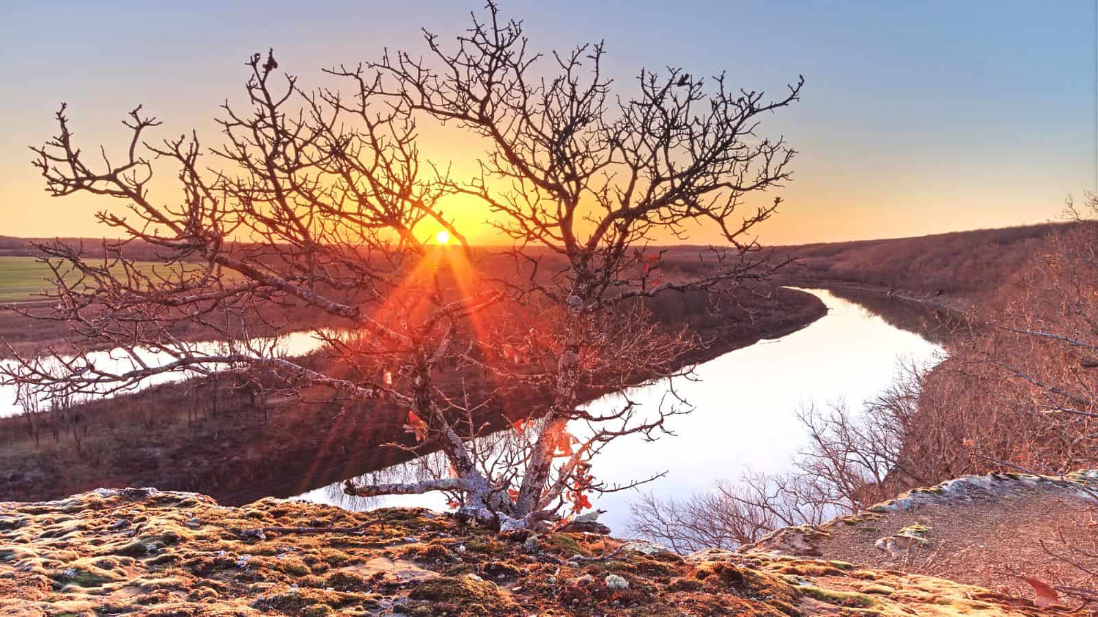
The Osage River is a tributary of the Missouri River in central Missouri, flowing generally easterly, then northeasterly for the final 80 miles where it joins the Missouri River.
It is the eighth-largest river in the state, draining a mostly rural area of 15,300 square miles, including an area of east-central Kansas and a large portion of west-central and central Missouri, where it drains northwest areas of the Ozark Plateau. Most of the river has been converted into a chain of two reservoirs, the Harry S. Truman Reservoir and the Lake of the Ozarks.
Current River
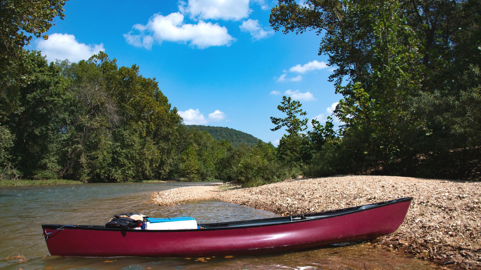
The Current River is a 184-mile-long stream that forms in the southeastern portion of the Ozarks of Missouri and becomes a 7th-order stream as it flows southeasterly out of the Ozarks into northeastern Arkansas where it becomes a tributary of the Black River, which is a tributary of the White River, a tributary of the Mississippi River.
The basin drains a rural area that is dominated by karst topography, underlain by dolomite and sandstone bedrock with a small area of igneous rock southeast of Eminence, Missouri. In 1964, over 134 miles of the upper course of the river and its tributaries were federally protected as the Ozark National Scenic Riverways, the first national park in America to protect a river system.
Grand River
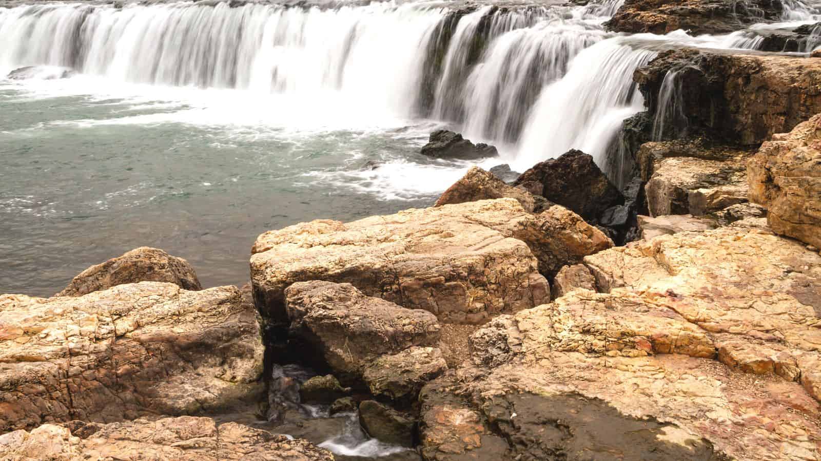
The Grand River is a 226-mile-long river that stretches from its northernmost tributary origins between Creston and Winterset in Iowa to its mouth on the Missouri River near Brunswick, Missouri. Its watershed of 7,900 square miles, with three-quarters in Missouri, makes it the largest watershed serving the Missouri River in northern Missouri.
No dams have been built on the river, although at various times plans have been proposed for five dams, with the most prominent being the Pattonsburg Dam at Pattonsburg, Missouri, which has not been authorized.
Gasconade River
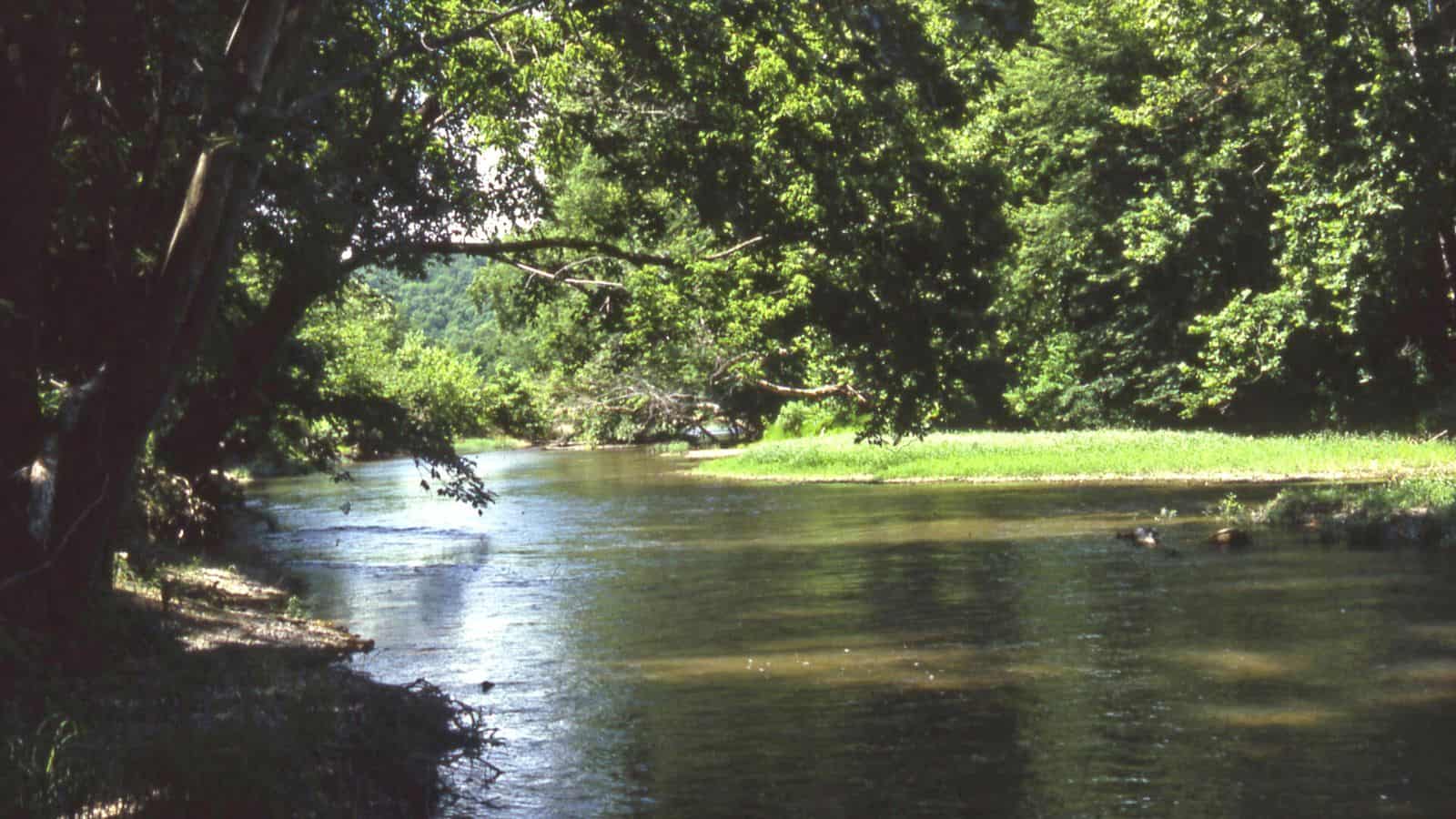
The Gasconade River is a 280-mile-long river located in central and south-central Missouri. It begins in the Ozarks southwest of Hartville in Wright County and flows generally north-northeastwardly through Wright, Laclede, Pulaski, Phelps, Maries, Osage, and Gasconade counties, through portions of the Mark Twain National Forest.
The river follows a meandering course through the Ozark Salem Plateau, creating spectacular bluffs and incised meanders along the way, and numerous springs and caves occur within the drainage area and along the river course.
Meramec River

The Meramec River is one of the longest free-flowing waterways in Missouri, draining 3,980 square miles while wandering 218 miles from headwaters southeast of Salem to where it empties into the Mississippi River near St. Louis at Arnold and Oakville.
The Meramec watershed covers six Missouri Ozark Highland counties and portions of eight others, falling 1,025 feet between its source and its mouth. Year-round navigability begins above Maramec Spring, just south of St. James, and continues until the river enters the Mississippi at Arnold, Missouri.
Little River
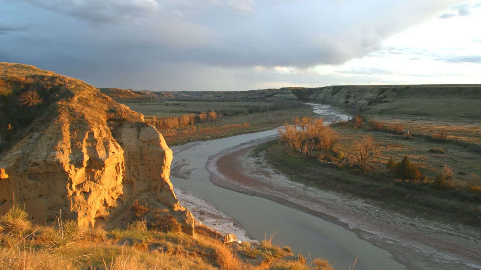
The Little River is a tributary of the St. Francis River, about 148 miles long, in southeastern Missouri and northeastern Arkansas, and is part of the watershed of the Mississippi River.
The Little River’s upper course in Missouri has been greatly altered by channelization practices, and its course through the Missouri Bootheel has been diverted to a canal, though traces of its original course still exist. In Arkansas, the river passes through the Big Lake National Wildlife Refuge and the left-hand channelized chute of the river joins the St. Francis River at Marked Tree.
Platte River
The Platte River is a tributary of the Missouri River in southwestern Iowa and northwestern Missouri, about 200 miles long. It is sometimes known as the Little Platte River to distinguish it from the larger Platte River in nearby Nebraska, which is also a tributary of the Missouri River.
The Platte River of Missouri rises near Creston in Union County, Iowa, and flows generally southwardly through several counties in Iowa and Missouri, passing through towns such as Maloy, Parnell, and Platte City, before flowing into the Missouri River near Farley.
Chariton River
The Chariton River is a 218-mile-long tributary to the Missouri River in southeast Iowa and northeast Missouri. The river forms in southeastern Clarke County, Iowa, and is dammed at the 11,000-acre Rathbun Reservoir in Appanoose County, Iowa, before entering Missouri where it forms the boundary between Putnam and Schuyler counties.
The river has been called Missouri’s “Grand Divide” because streams west of the Chariton flow into the Missouri and streams east of it flow into the Mississippi River. The Chariton River enters the Missouri River in Chariton County near Keytesville.
Salt River
The Salt River is a tributary of the Mississippi River in eastern Missouri, approximately 55 miles long, and drains an area of 2,518 sq mi in parts of twelve Missouri counties.
It rises at the confluence of the North, Middle, and South Forks in Monroe County, and since Clarence Cannon Dam construction was completed in 1983, the first 15 miles of the Salt River after the confluence of the North, Middle, and South Fork have been contained in Mark Twain Lake. The Salt River joins the Mississippi River at Ted Shanks Wildlife Conservation Area just one mile north of US Route 54 bridge in Louisiana in Pike County.
Cuivre River
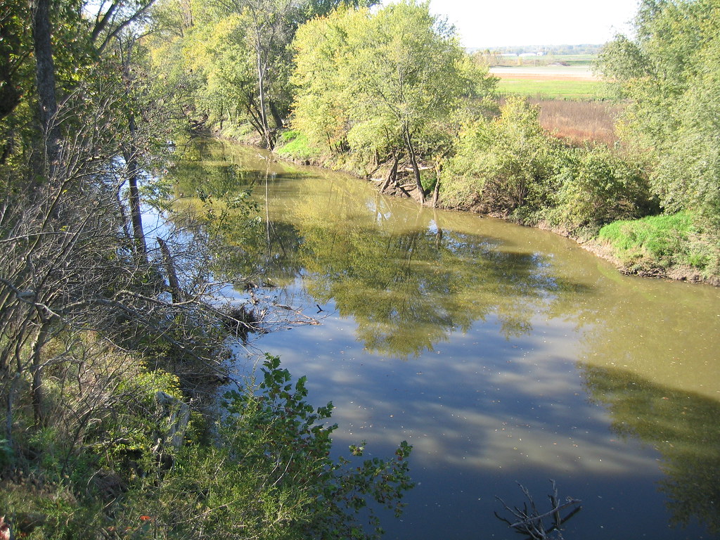
The Cuivre River is a 41.6-mile-long river in the east-central part of Missouri, north of the Missouri River terminus, and a good part of its course marks the borders between Lincoln and St. Charles counties before emptying into the Mississippi River north of St. Louis.
The Cuivre River State Park near Troy has its southwestern borders on the river, and the river is considered a navigable stream by the Missouri Water Patrol. The stream headwaters are the North and West forks which merge just west of US Route 61 about three miles northwest of Troy, and the river flows east, crossing under Route 61 and then turning southeast, passing under Missouri Route 47 two miles east of Troy.
Lamine River
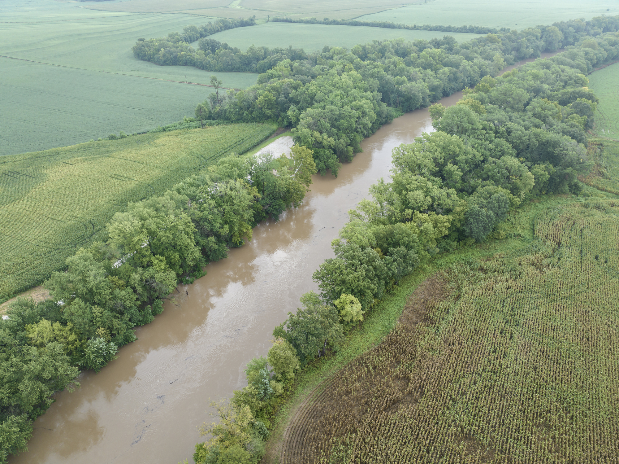
The Lamine River is a 63.8-mile-long tributary of the Missouri River in central Missouri, formed in northern Morgan County by the confluence of Flat and Richland creeks, and flows generally northwardly through Cooper and Pettis counties. The river was named by French explorers for mining operations in the area and has also been known as “La Mine River” and as “Rivière a la Mine.”
The unincorporated community of Lamine and the township of Lamine were named after the La Mine River, and in northwestern Cooper County, the Lamine collects the Blackwater River and flows into the Missouri River northeast of Lamine and west of Boonville.
Blackwater River
The Blackwater River is a 79.3-mile-long tributary of the Lamine River in west-central Missouri, formed by the confluence of the North Fork Blackwater River and the South Fork Blackwater River in Johnson County approximately 6 miles northwest of Warrensburg.
The river flows generally east-northeastwardly through Johnson, Pettis, Saline, and Cooper counties, past the towns of Sweet Springs and Blackwater, and flows into the Lamine River in northwestern Cooper County, approximately 4 miles southeast of Blackwater. The Blackwater River was named from the character of its banks and water.
Marais des Cygnes River

The Marais des Cygnes River is a principal tributary of the Osage River, about 217 miles long, in eastern Kansas and western Missouri in the United States. The river is notorious for flash flooding and is referred to in the song “The River” by Chely Wright.
The Marais des Cygnes is formed about 1 mile north of Reading, Kansas, by the confluence of Elm Creek and One Hundred Forty-Two Mile Creek, and flows generally east-southeastwardly through Osage, Franklin, Miami, and Linn counties in Kansas and Bates County in Missouri, past the Kansas towns of Melvern, Quenemo, Ottawa, Osawatomie, and La Cygne and through the Marais des Cygnes National Wildlife Refuge.
Sac River

The Sac River is a 118-mile-long river in the Ozarks of Southwest Missouri, with headwaters in western Greene County, passing through the northeast corner of Lawrence County then re-entering Greene County, entering Dade County northwest of Ash Grove, and entering Stockton Lake in Dade County between Dadeville and Greenfield, then flowing north exiting Stockton Lake in Cedar County.
The river was named after the Sac Indians, and the Big Eddy Site, an archaeological dig, is along the Sac River within Cedar County, providing a stratigraphy that suggests more than 10,000 years of nearly constant occupation by American Indians, potentially pre-dating the Clovis culture and contributing to the knowledge of the Dalton and San Patrice cultures.
James River
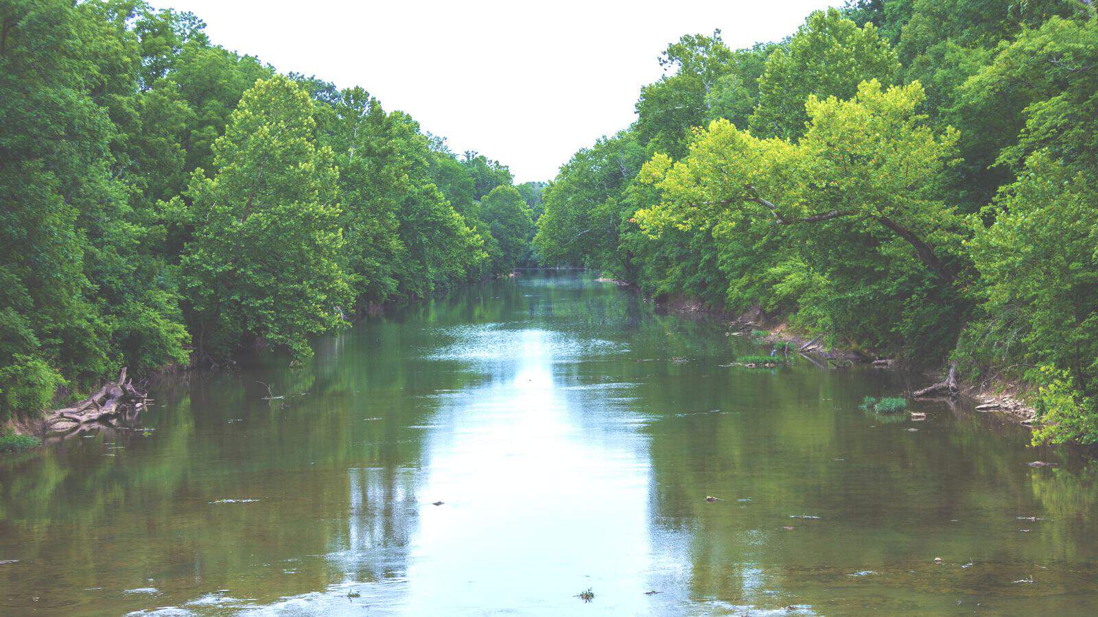
The James River Freeway is a 14-mile-long freeway located largely on the south side of Springfield, Missouri, named after the James River, which passes near the highway at the freeway’s eastern terminus. A total of four highways (and one business route) are routed on the highway: Route 360, US 60, US 160, Route 13, and Business US 65.
The four-mile portion of the James River Freeway between I-44 and the interchange with US 60 and Route 413 is designated as Route 360, and the control cities between US 60 and US 65 are Republic westbound and Rogersville eastbound, while at US 65, they are Springfield westbound and Cabool eastbound.
Niangua River
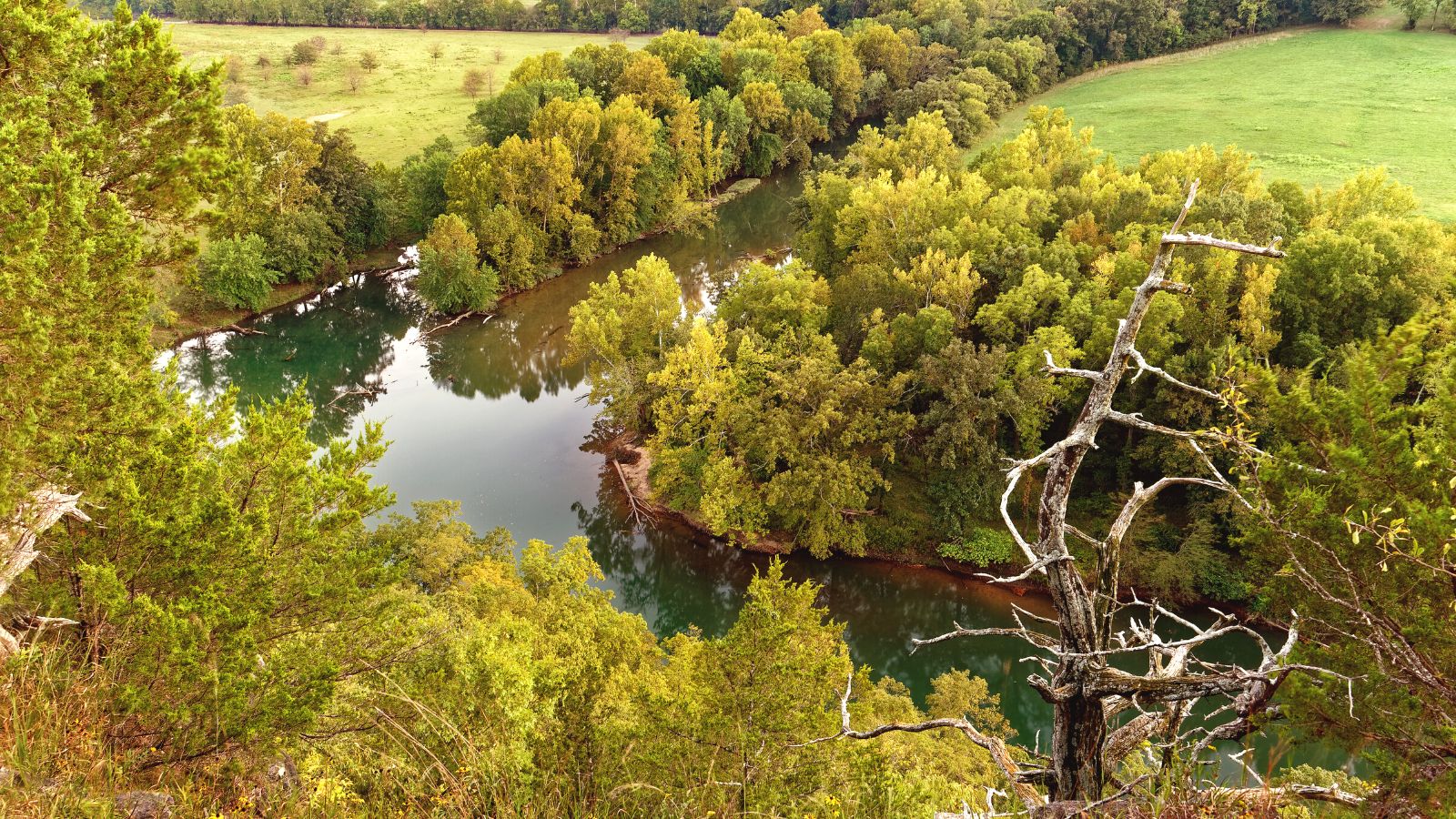
The Niangua River is a 125-mile-long tributary of the Osage River in the Ozarks region of southern and central Missouri, formed in Webster County by the confluence of its short east and west forks, and flows generally northward through Dallas, Laclede, and Camden counties, past Bennett Spring, Lake Niangua, and Ha Ha Tonka State Parks.
The river has the name of Niangua (or Nehemgar), an Indian tribal leader, and the name is said to mean “bear”. It flows into the Osage River as an arm of the Lake of the Ozarks, which is formed by the Bagnell Dam on the Osage, and as part of the lake, it collects the Little Niangua River.
Big Piney River
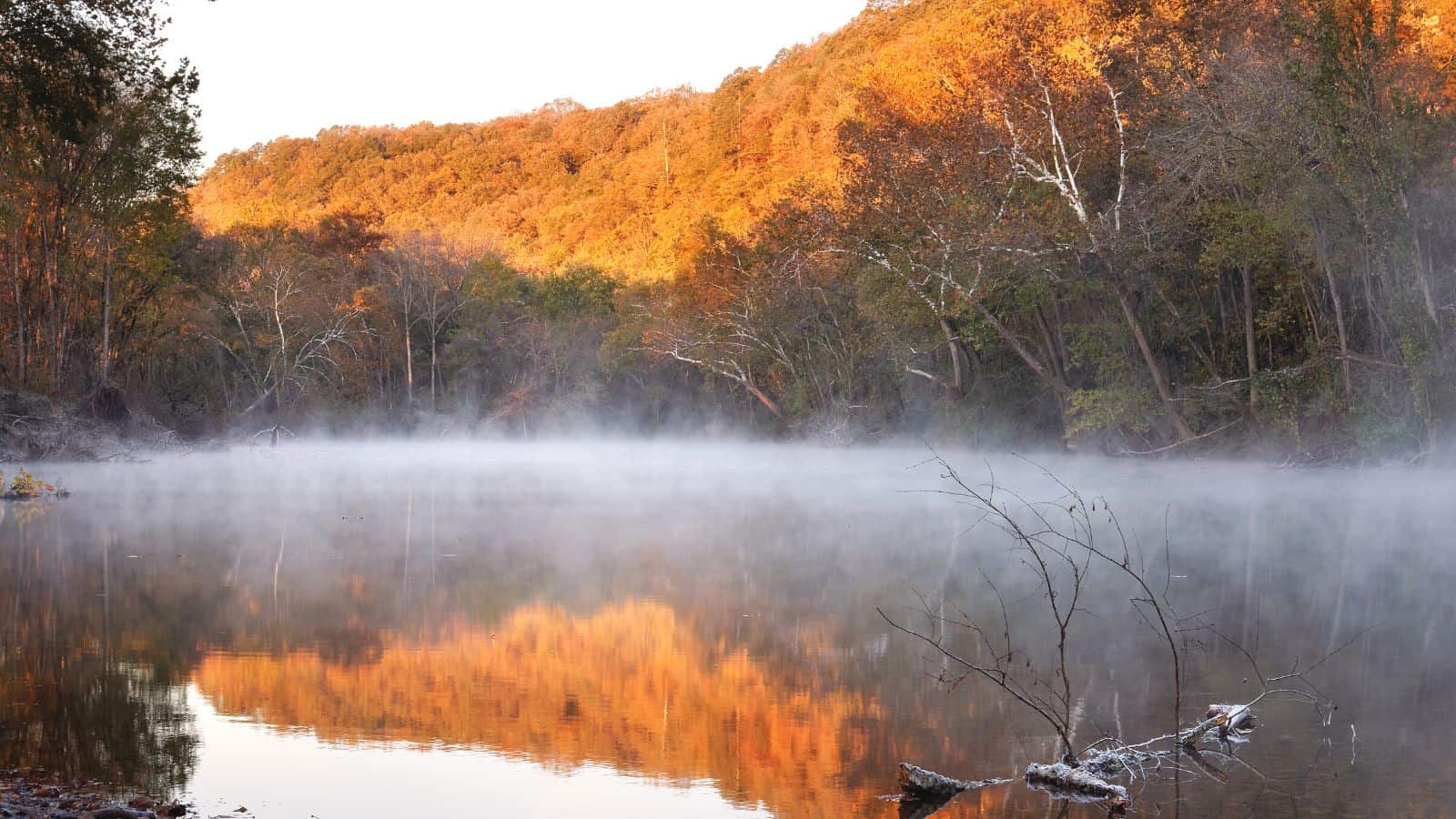
The Big Piney River is a 110-mile-long tributary of the Gasconade River in south central Missouri, with headwaters located in southwest Texas County just north of the community of Dunn and US Route 60. The stream flows east and southeast passing just south of Cabool passing under Route 60 Business, Missouri Route 181, and US Route 63, and the stream course turns northeast and runs parallel to Route 63 passing under it three times before turning northwest to the north of Simmons.
The stream enters southeastern Pulaski County, continues north past Ross Bridge and through an eastern section of the Fort Leonard Wood reservation, and meanders back west and flows past Moab and Devils Elbow before passing under Interstate 44 and past Hooker before reaching its confluence with the Gasconade.
Bourbeuse River
The Bourbeuse River is a river located in east-central Missouri, in the Ozarks region, and is one of two major tributaries of the Meramec River, the other being the Big River. The river flows to the northeast from its source near the locale of Dillon just northeast of Rolla in Phelps County, through Maries, Gasconade, Crawford, and Franklin counties, where it discharges into the Meramec River near Moselle.
Tributaries of the Bourbeuse River include Boone Creek, Brush Creek, Dry Fork, Little Bourbeuse River, Red Oak Creek, Spring Creek, and Voss Creek, and the USGS stream gauge in Union, near the mouth of the river, measures an average flow of 692 cubic feet per second.
Fabius River

The Fabius River is a 3.5-mile-long tributary of the Mississippi River in northeastern Missouri, formed near its mouth by the confluence of the North Fabius River and the South Fabius River, with the North Fabius River also flowing through southeastern Iowa, and the Middle Fabius River joining the North Fabius 8.9 miles upstream of that river’s mouth.
Each of the three rivers has been subjected to substantial straightening and channelization. The river is named for the Roman consul Quintus Fabius Maximus Verrucosus according to tradition, but the State Historical Society of Missouri suggests Fabius actually was the name of a French pioneer in the area.
Lakes
Lake of the Ozarks
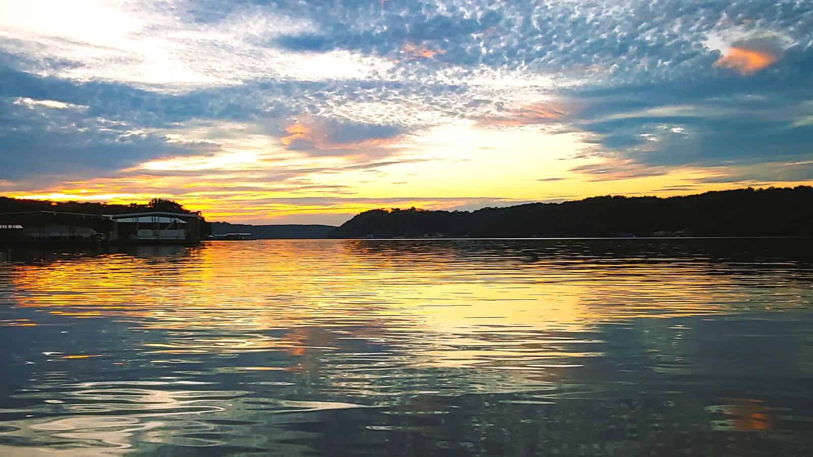
The Lake of the Ozarks is a reservoir created by impounding the Osage River in the northern part of the Ozarks in central Missouri, with the main channel of the Osage Arm stretching 92 miles from one end to the other and parts of three smaller tributaries to the Osage included in the impoundment: the Niangua River, Grandglaize Creek, and Gravois Creek.
The lake has a surface area of 54,000 acres and 1,150 miles of shoreline, and its serpentine shape has earned it the nickname “the Missouri Dragon”, which has, in turn, inspired the names of local institutions such as the Magic Dragon Street Meet.
The reservoir is impounded at its northeastern end by Bagnell Dam, and the Osage River is both its primary inflow and outflow. The lake extends across four Missouri counties, from Benton County in the west through Camden and Morgan Counties to Miller County in the east.
Table Rock Lake
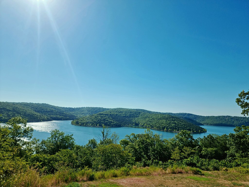
Table Rock Lake is an artificial lake or reservoir in the Ozarks of southwestern Missouri and northwestern Arkansas, impounded by Table Rock Dam, which was constructed from 1954 to 1958 on the White River by the U.S. Army Corps of Engineers.
The lake is a popular attraction for the city of Branson, Missouri, and the nearby town of Shell Knob, Missouri, with several commercial marinas along the lake, and Table Rock State Park is located on the east side, both north and south of Table Rock Dam.
The lake derives its name from a rock formation resembling a table at the small community of Table Rock, Missouri, on Highway 165 about a mile and a half downstream from where the dam was built.
Bull Shoals Lake
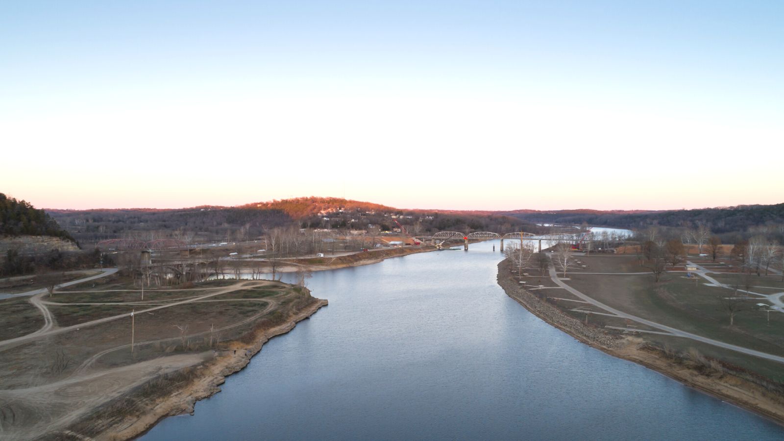
Bull Shoals Lake is an artificial lake or reservoir in the Ozark Mountains of northern Arkansas and southern Missouri, United States, with hundreds of miles of lake arms and coves, and common activities include boating, water sports, swimming, and fishing.
The lake impounds the White River for the last time as water travels toward its mouth on the Mississippi River and is thus the lake farthest downstream in a chain of four artificial lakes that include Beaver Lake, Table Rock Lake, and Lake Taneycomo.
The shoreline of the lake is undeveloped and protected by a buffer zone owned, operated, managed, and controlled by the Army Corps of Engineers, and the dam is designed for a maximum elevation of 695 ft (212 m) (top of the flood pool).
Stockton Lake
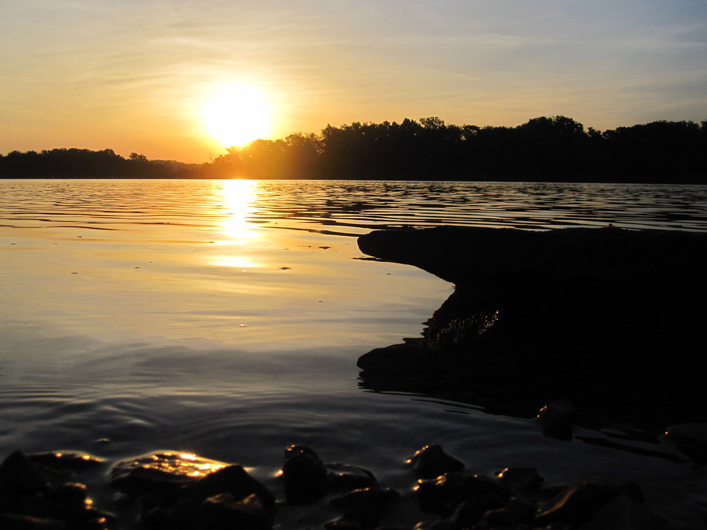
Stockton Lake is a reservoir located in southeastern Cedar County, northeastern Dade County, and southwestern Polk County, Missouri, with a “non-development policy,” and is surrounded by unspoiled, tree-covered hills.
The lake is ‘V’ shaped, and covers 39 square miles, with 298 miles of shoreline, and has three marinas, and 10 public-use areas. It was formed by damming the Sac River near the city of Stockton in 1969 and is one of Missouri’s seven major lakes, all man-made.
Pomme de Terre Lake

Pomme de Terre Lake is located in southwest Missouri at the confluence of Lindley Creek and the Pomme de Terre River, for which it is named, and is part of a series of lakes in the Osage River Basin designed and constructed by the United States Army Corps of Engineers for flood control.
The lake is located in southern Hickory and northern Polk counties, about 50 miles north of Springfield, and has two arms that extend from the dam site: the Pomme de Terre arm follows the Pomme de Terre River and extends for 17 miles, while the Lindley arm follows Lindley Creek for 12 miles.
Mark Twain Lake
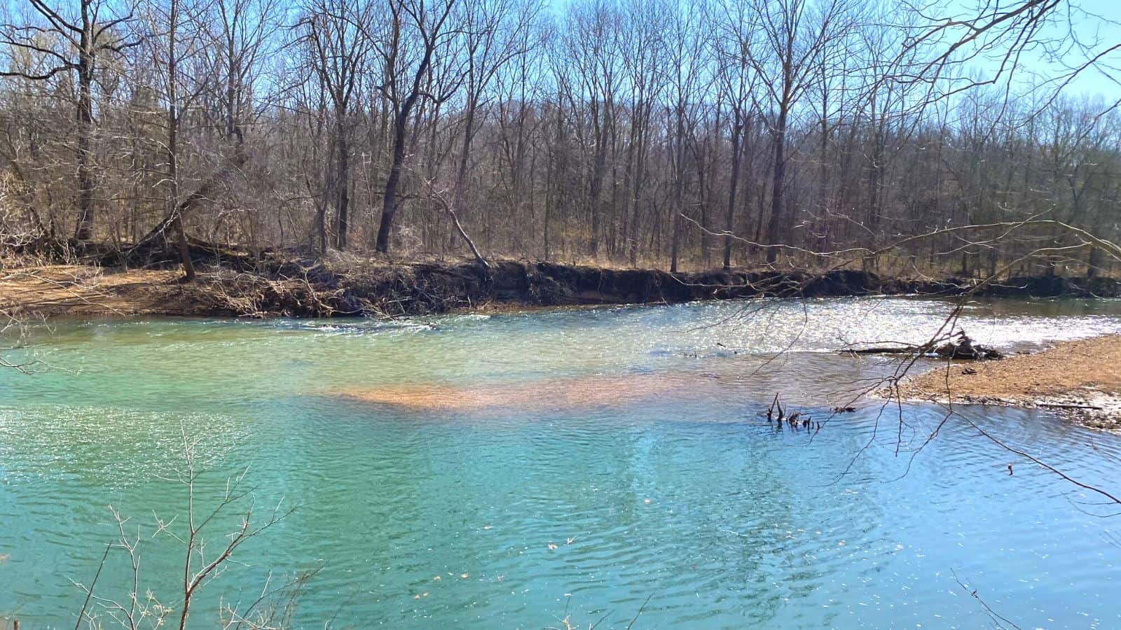
Mark Twain Lake is a reservoir located in Ralls and Monroe Counties in the U.S. state of Missouri, created by the Clarence Cannon Dam impounding the Salt River and named for Missouri author Mark Twain, with part of the area around it being Mark Twain State Park.
The lake provides opportunities for outdoor recreation, including boating, swimming, fishing, picnicking, hiking, and hunting, with recreation areas equipped with facilities such as campgrounds, beaches, and picnic shelters, as well as areas that are being managed for wildlife habitat.

