The Sunflower State, renowned for its heartland spirit and vast open spaces, tells a compelling story through the rhythm of its waters.
In this article, we embark on a journey that follows the currents of Kansas’ rivers and contemplates the serene depths of its lakes.
Printable Kansas Lakes and Rivers Map
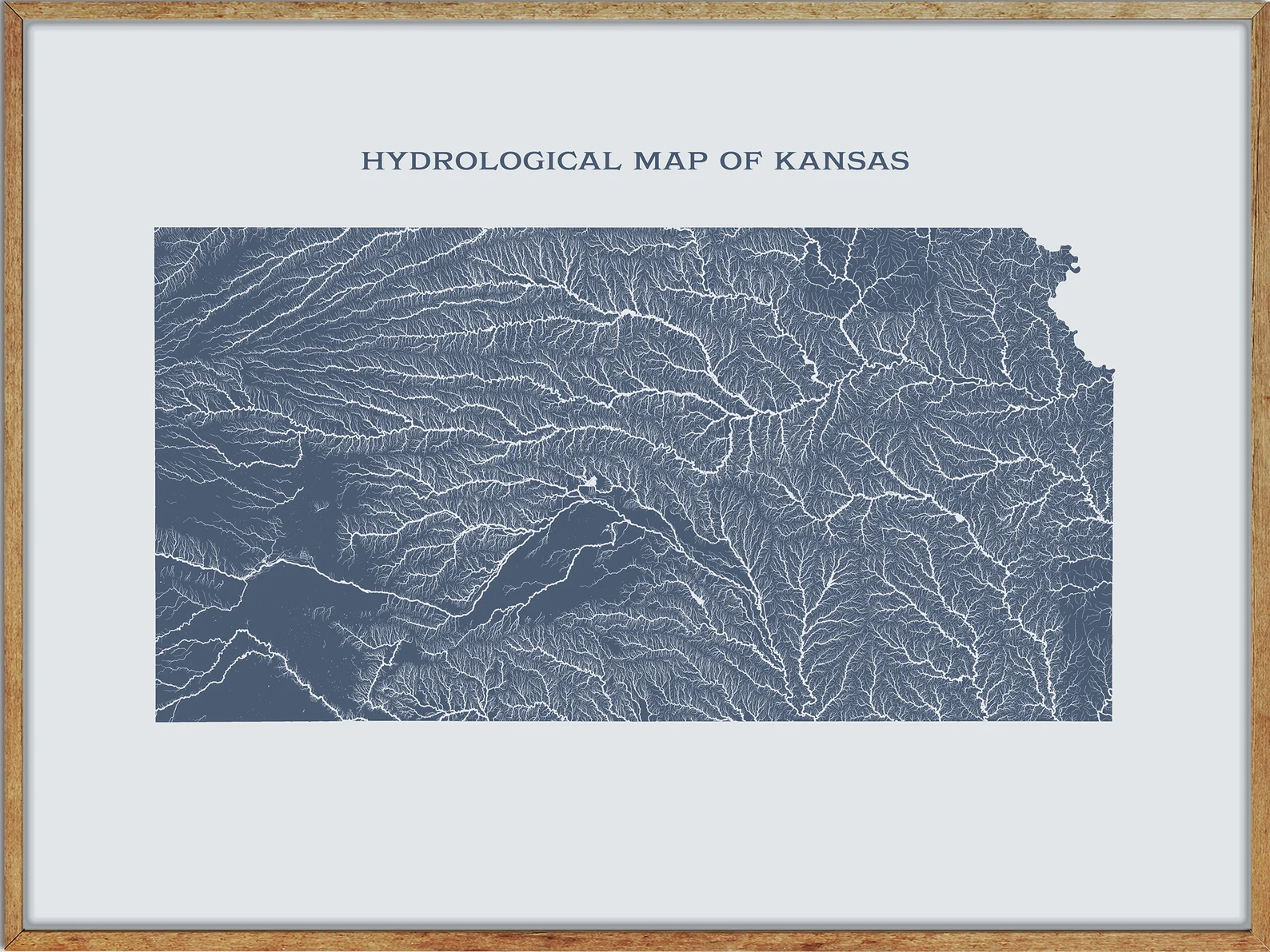
Rivers Map
Saline River
The Saline River is a 397-mile-long tributary of the Smoky Hill River in the central Great Plains of North America, entirely located in Kansas.
Its name comes from the French translation of its Native name ‘Ne Miskua’, referring to the salty content of its waters.
The river originates in the High Plains of northwestern Kansas and flows east for 397 miles through the Smoky Hills region of north-central Kansas before joining the Smoky Hill River, approximately 1 mile south of New Cambria in Saline County.
The Saline River is sluggish and unnavigable, with no major tributaries, and has a riverbed of sand and mud, draining an area of 3,419 square miles.
Smoky Hill River
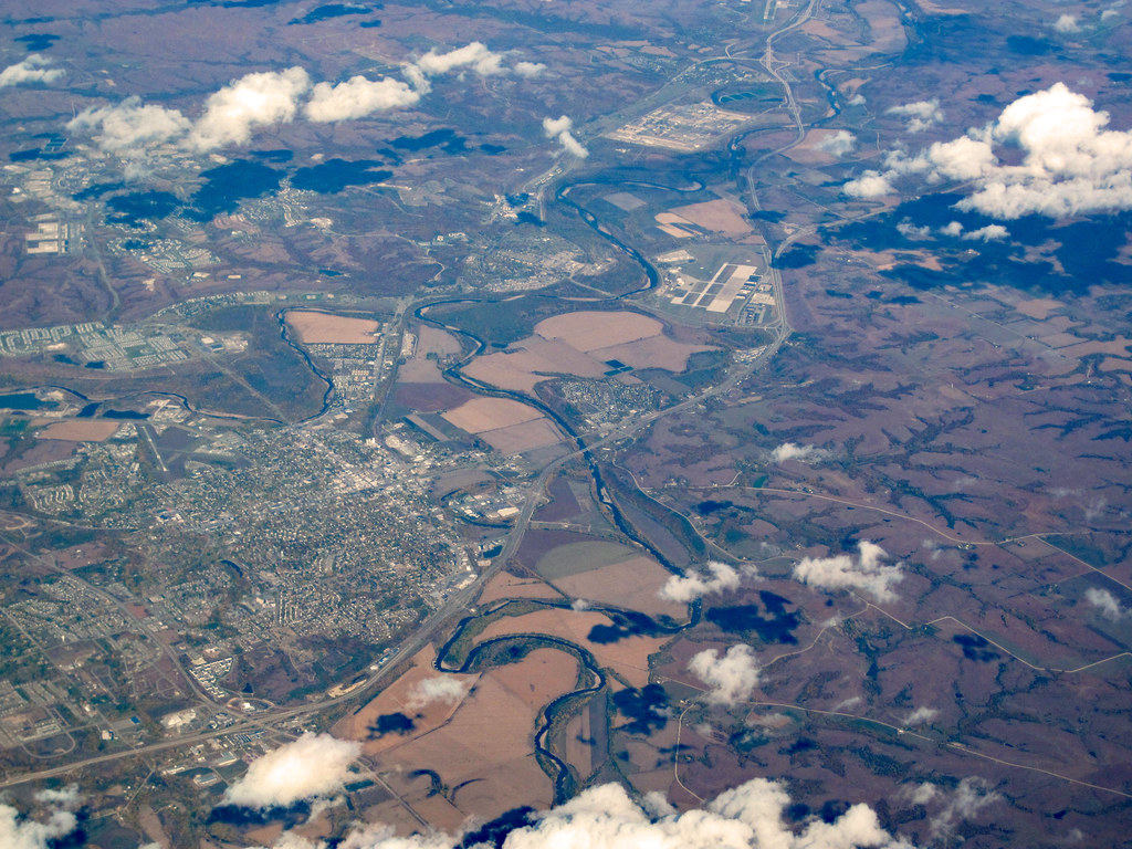
The Smoky Hill River is a 575-mile-long river that runs through Colorado and Kansas in the central Great Plains of North America.
The river originates in the High Plains of eastern Colorado and flows eastward, with both the main course and the North Fork Smoky Hill River rising in northern Cheyenne County.
This river flows through the Smoky Hills region and is joined by the Saline River in eastern Saline County, eventually flowing into Junction City to form the Kansas River.
The Smoky Hill River directly drains an area of 8,810 square miles and is part of the Mississippi River watershed.
Kansas River
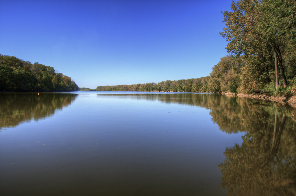
The Kansas River, also known as the Kaw, is a river in northeastern Kansas that is part of the Missouri River drainage and the Mississippi River drainage.
Its name comes from the Kanza (Kaw) people who once inhabited the area, and the city of Kansas City, Missouri, and the state of Kansas were both named after the river.
The river valley is up to 4 miles wide in some areas and averages 2.6 miles in width, with much of its watershed dammed for flood control.
However, the Kansas River is generally free-flowing and only has minor obstructions, including diversion weirs and one low-impact hydroelectric dam.
Neosho River
The Neosho River is a 463-mile-long tributary of the Arkansas River that flows through eastern Kansas and northeastern Oklahoma, draining portions of Missouri and Arkansas.
Its name is derived from an Osage word meaning “clear water.” The river’s headwaters are in Morris County, Kansas, and it flows southeast through Kansas before flowing south, where it meets the Arkansas River near the city of Muskogee.
The Neosho River is part of the Mississippi River watershed and is also known as the Grand River in its lower section, flowing south to Grand Lake in Oklahoma.
Republican River
The Republican River is a 453-mile-long river that rises in the High Plains of eastern Colorado and flows eastward through Nebraska and Kansas in the central Great Plains of North America.
The river is formed by the confluence of the North Fork Republican River and the Arikaree River just north of Haigler, Nebraska, and joins with the South Fork Republican River southeast of Benkelman.
The Republican River passes through the Swanson Reservoir and Harlan County Reservoir before curving southward into the Smoky Hills region of Kansas and joining the Smoky Hill River at Junction City to form the Kansas River.
Cities along the river include McCook, Nebraska and Clay Center, Concordia, and Junction City in Kansas, with the Republican River Pegram Truss near Concordia listed on the National Register of Historic Places.
Verdigris River
The Verdigris River is a 310-mile-long tributary of the Arkansas River that flows through southeastern Kansas and northeastern Oklahoma, ultimately joining the Mississippi River watershed via the Arkansas River.
The river is formed by the convergence of its North and South forks near Madison, Kansas, and flows southward throughout its course before entering Oklahoma south of Coffeyville.
The Verdigris River joins the Arkansas River near Muskogee, Oklahoma, about a mile upstream of the mouth of the Neosho River, and the area of convergence of the three rivers is known as “Three Forks.”
Big Blue River
The Big Blue River is the largest tributary of the Kansas River, flowing for approximately 359 miles from central Nebraska into Kansas until it joins the Kansas River at Manhattan.
The river was named by the Kansa tribe of Native Americans, who called it the Great Blue Earth River. The river passes through mostly agricultural land and some larger towns along its course, including Beatrice, Crete, and Seward in Nebraska, and Manhattan in Kansas.
Before joining the Kansas River, the Big Blue discharges its waters into Tuttle Creek Lake, a man-made flood-control measure held back by a dam composed of limestone, silt, and gypsum dredged out of the floodplain.
Solomon River

The Solomon River, also known as the “Solomon Fork,” flows through the central Great Plains of North America entirely within the state of Kansas.
The river is formed by the North Fork Solomon River and South Fork Solomon River at Waconda Lake in northwestern Mitchell County, both of which originate in the High Plains of northwestern Kansas.
The Solomon River flows southeast through the Smoky Hills region and joins the Smoky Hill River immediately south of Solomon, Kansas, in western Dickinson County.
The river drainage basin covers 6,835 square miles and is part of the Mississippi River watershed via the Smoky Hill, Kansas, and Missouri Rivers.
Cottonwood River
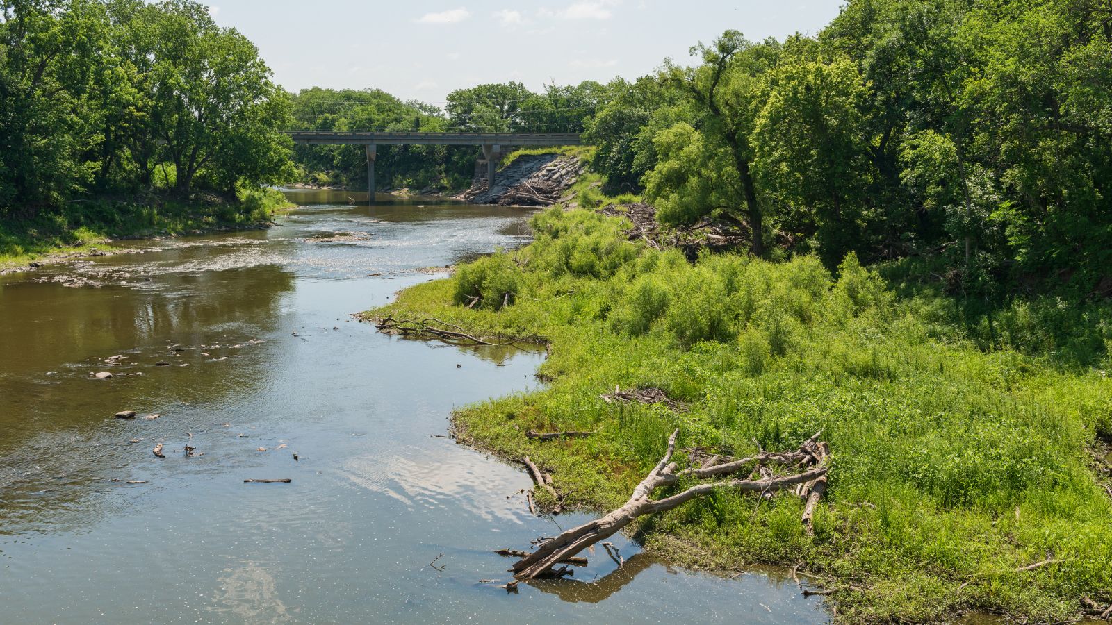
The Cottonwood River is a principal tributary of the Neosho River in central Kansas, formed by the North Cottonwood River and the South Cottonwood River near Lehigh.
The North Cottonwood River flows through Durham and into the Marion Reservoir, while the South Cottonwood River flows near Hillsboro before heading eastward toward the Marion Reservoir.
The two rivers converge to form the North Fork Cottonwood River, which flows through Marion, Florence, and Chase County before joining the South Fork Cottonwood River near Cottonwood Falls and flowing into the Neosho River.
Walnut River
The Walnut River is a 154-mile-long tributary of the Arkansas River that flows through the Flint Hills region of Kansas and is part of the Mississippi River watershed.
The river rises in northern Butler County and flows southward through Butler and Cowley Counties, passing by El Dorado, Augusta, Winfield, and Douglass before joining the Arkansas River at Arkansas City.
The Walnut River’s drainage basin covers 2,380 square miles and is characterized by rocky, rolling hills and prairie, with tallgrass prairie being the most common vegetation covering 66 percent of the land.
Major crops in the area include wheat, soybeans, cotton, hay, sorghum, and corn, while cattle are the most important livestock.
Ninnescah River
The Ninnescah River is a 56.4-mile-long river entirely within the state of Kansas in the central Great Plains of North America and is a tributary of the Arkansas River.
The river originates in the Wellington Lowlands of south-central Kansas and is formed by the North Fork Ninnescah River and the South Fork Ninnescah River in southwestern Sedgwick County.
The Ninnescah River flows southeast into the Arkansas River Lowlands and empties into the Arkansas River near Oxford, Kansas, in eastern Sumner County.
Chikaskia River
The Chikaskia River is a 159-mile-long tributary of the Salt Fork of the Arkansas River that flows through southern Kansas and northern Oklahoma and is part of the Mississippi River watershed.
The river begins in southwestern Pratt County, Kansas, as an intermittent stream and flows eastwardly into Kingman County before turning southeastward through Harper and Sumner counties.
The Chikaskia River passes the town of Blackwell in Kay County before joining the Salt Fork of the Arkansas River 5 miles southeast of Tonkawa.
Medicine Lodge River
The Medicine Lodge River is a 130-mile-long tributary of the Salt Fork of the Arkansas River that flows through southern Kansas and northern Oklahoma and is part of the Mississippi River watershed.
The river rises in Kiowa County, flows southeast through Barber County, and Alfalfa County in Oklahoma. The Medicine Lodge River joins the Salt Fork of the Arkansas River in Oklahoma, approximately 5 miles north-northeast of Cherokee.
Pawnee River
The Pawnee River, also known as the Pawnee Fork, is a 198-mile-long tributary of the Arkansas River in western Kansas and part of the Mississippi River watershed.
The river rises in northwestern Gray County and flows north for 20 miles before turning northeast near Ravanna and then arcing to the south.
The Pawnee River receives Buckner Creek at the town of Burdett and flows east past Rozel, through Fort Larned National Historic Site, and eventually joins the Arkansas River on the left bank south of Larned.
Despite draining an arid farming region of about 2,700 square miles, most of the river’s flow is consumed by irrigation before reaching the mouth, and it often dries up for months at a time.
Lakes Map
Milford Lake

Milford Lake, also referred to as Milford Reservoir, is the largest man-made lake in Kansas, covering 15,700 acres of water. The lake is surrounded by over 33,000 acres of land, which is managed for recreational activities and the protection of natural and cultural resources.
Around 70% of the land resources are open for public hunting, making it a popular destination for hunters.
Perry Lake
Perry Lake is a reservoir operated by the US Army Corps of Engineers in northeast Kansas, primarily used for flood control, water reserve, and regional recreation. The lake spans over 11,150 acres and has more than 160 miles of shoreline.
With its close proximity to Kansas City, Lawrence, and Topeka, Perry Lake is a popular destination for outdoor enthusiasts and has earned the nickname “Paradise on the Plains.”
Waconda Lake

Waconda Lake, also known as Glen Elder Reservoir, is located in Mitchell County and Osborne County, which was built and is managed by the U.S. Bureau of Reclamation for flood control, irrigation, and recreation.
The reservoir is impounded by Glen Elder Dam and is primarily fed by the North Fork Solomon River and South Fork Solomon River from the west, with the Solomon River serving as its primary outflow to the east.
The lake is surrounded by beautiful scenery and is home to Glen Elder State Park, located on its north shore, with two settlements, Cawker City and Glen Elder, situated at opposite ends of the lake’s north shore.
Wilson Lake
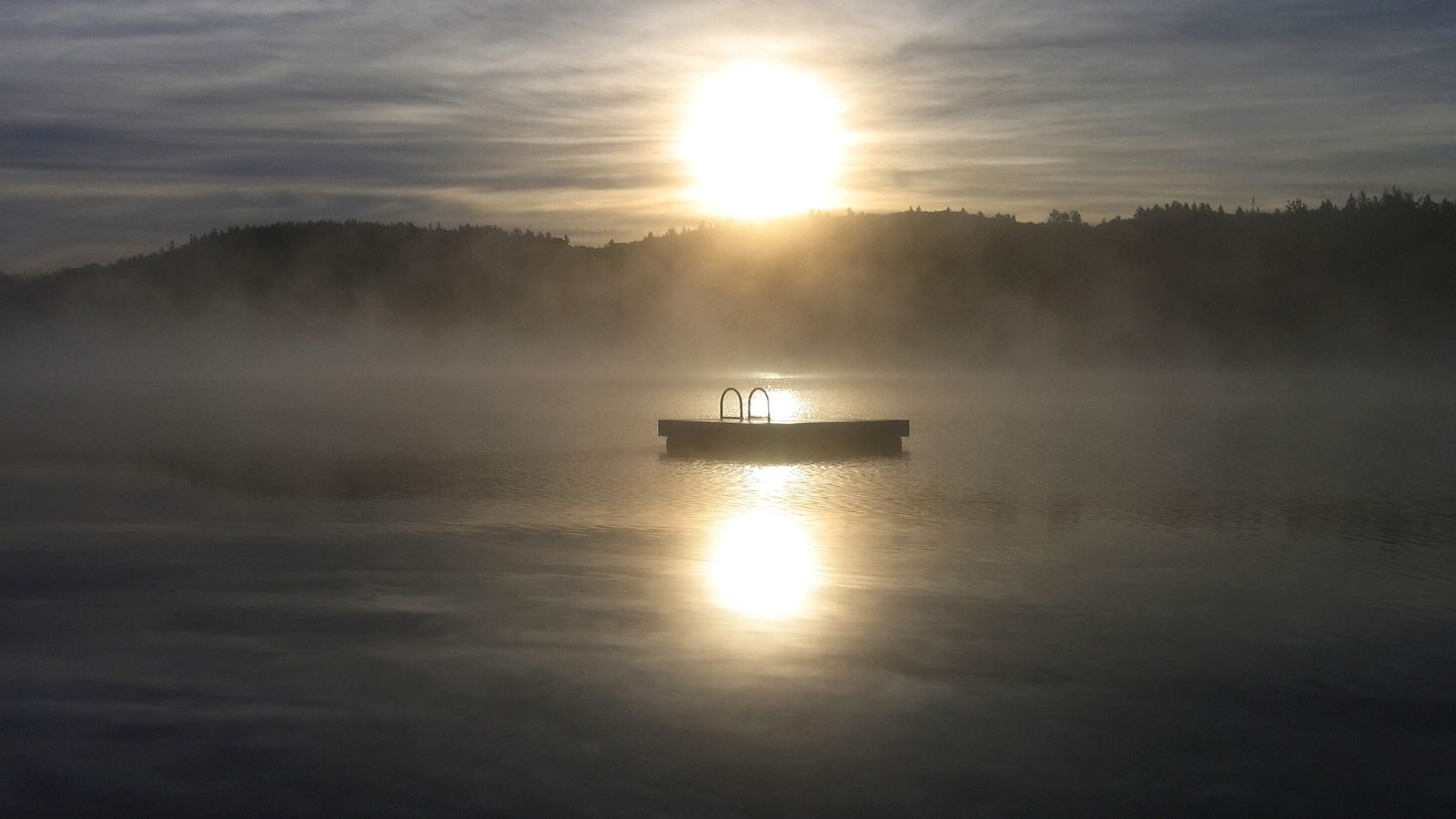
Wilson Lake is a reservoir located on the border of Russell County and Lincoln County in Kansas, built and managed by the U.S. Army Corps of Engineers for flood control, wildlife management, and recreation.
The lake is situated in the Smoky Hills region of the Great Plains and is primarily fed by the Saline River from the west, which serves as its primary outflow to the east.
Wilson State Park and several other parks are located along the lake’s shoreline, offering visitors a variety of recreational activities.
Marion County Lake
Marion County Lake is a small body of water located in the Flint Hills region of Kansas, 1.5 miles southeast of Marion at 170th Street, not to be confused with the larger reservoir of the same name, which is located northwest of Marion.
The lake is surrounded by scenic Flint Hills and Great Plains and has three entrances, including the north entry, which is located a mile east of Marion on K-256 / 190th Street / Main Street, then 1.75 miles south on Upland Road.
El Dorado Lake
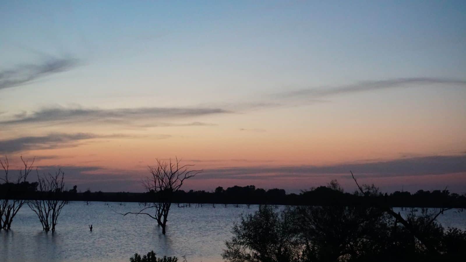
El Dorado Lake is a reservoir located on the Walnut River in the Flint Hills region of Kansas, half a mile northeast of El Dorado.
The lake was built and is managed by the U.S. Army Corps of Engineers, serving as a flood control system, water supply, and recreational area. El Dorado State Park is situated on the lake’s shore.
The lake’s construction incorporated two smaller pre-existing reservoirs, Bluestem Lake and the original El Dorado Lake, with the remnants of Bluestem Lake’s dam still visible in the Shady Creek arm of the present-day reservoir.

