Amid the picturesque landscapes and charming villages of the Green Mountain State, another kind of beauty flows – a narrative not only in its historical heritage but also in the meandering courses of its rivers and the tranquil depths of its lakes. Vermont, celebrated for its natural splendor and progressive values, holds within its embrace a treasure less explored – a network of waterways that mirror its legacy of resilience and community.
Like whispered verses in the rustling leaves, Vermont’s rivers and lakes carry stories of exploration, industry, and the unwavering connection between its people and the land. In this article, we embark on a journey that traces the pathways of Vermont’s rivers and immerses in the reflective surfaces of its lakes.
Join us as we unveil the significance of these aqueous poems, uncovering their role in shaping the state’s identity, culture, and sustainability, and revealing how water has painted its essence onto the very canvas of the Green Mountain State’s compelling narrative.
Printable Vermont Lakes and Rivers Map
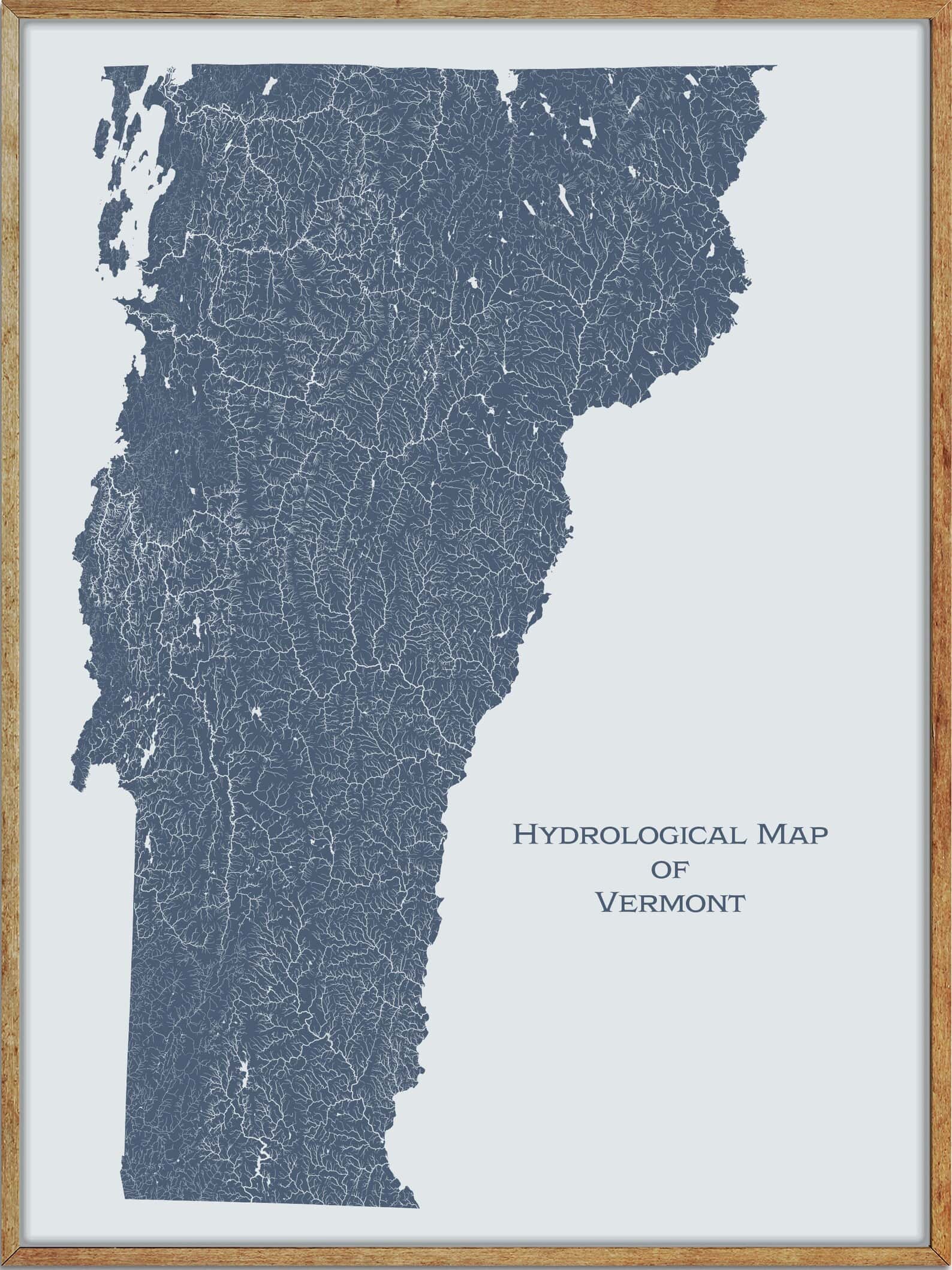
Rivers
Connecticut River
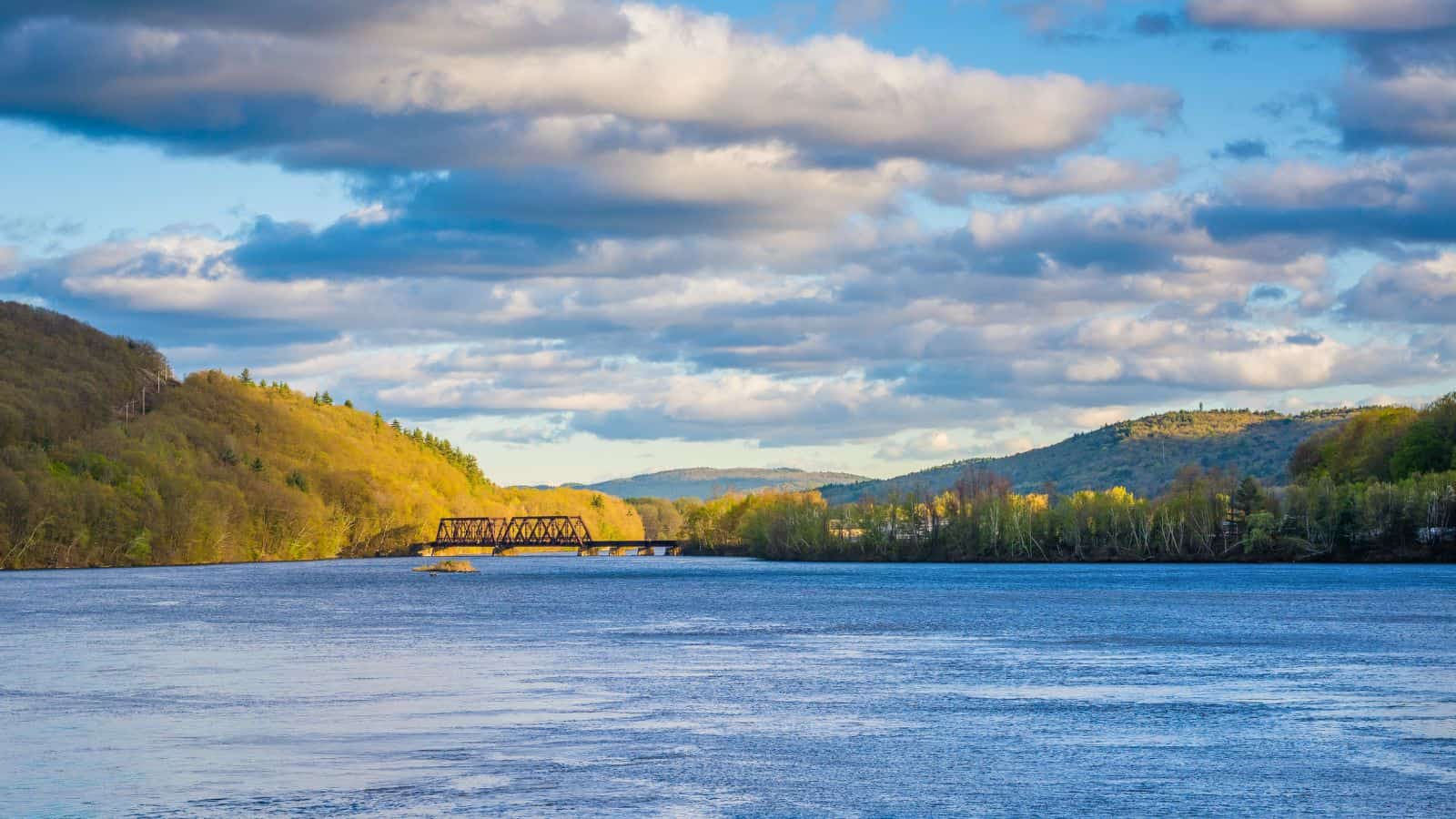
The Connecticut River is the longest river in the New England region of the United States, flowing roughly southward for 406 miles through four states, and its watershed encompasses 11,260 square miles, covering parts of five U.S. states and one Canadian province, via 148 tributaries, 38 of which are major rivers.
The Connecticut River Valley is home to some of the northeastern United States’ most productive farmland, as well as the Hartford–Springfield Knowledge Corridor, a metropolitan region of approximately two million people surrounding Springfield, Massachusetts, and Hartford, Connecticut.
The river produces 70% of Long Island Sound’s fresh water, discharging at 18,400 cubic feet per second, and it rises 300 yards south of the U.S. border with Quebec, Canada, and discharges at Long Island Sound.
Winooski River
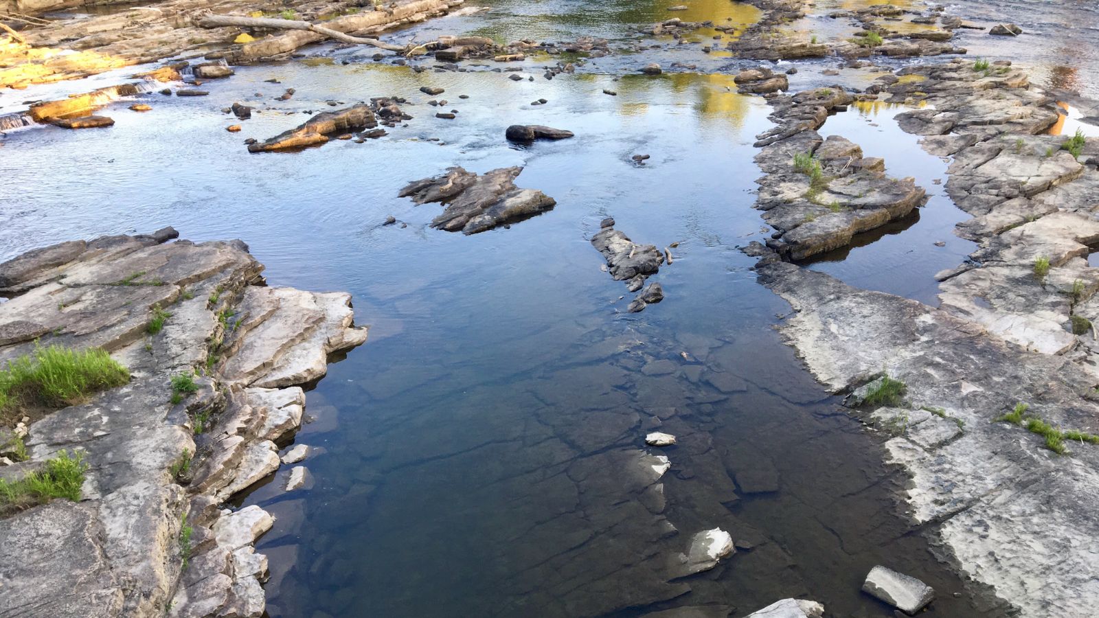
The Winooski River, also known as the Onion River, is a tributary of Lake Champlain in the northern half of Vermont, approximately 90 miles long. The river drains an area of the northern Green Mountains between Vermont’s capital of Montpelier and its largest city, Burlington, and it is one of the state’s most significant rivers, forming a major valley way from Lake Champlain through the Green Mountains towards the Connecticut River valley.
The river was historically used for the transportation of timber in the logging heyday of Vermont during the 19th century, and the valley of the river downstream from Montpelier is where both U.S. Highway 2 and Interstate 89 run between Montpelier and Burlington.
West River
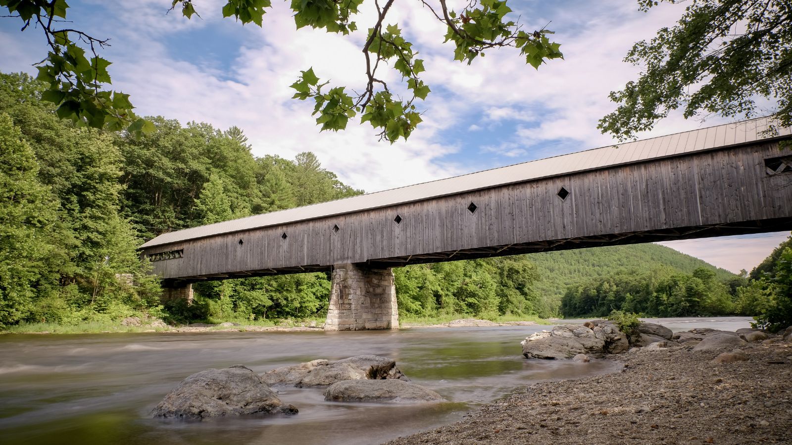
The West River is a tributary of the Connecticut River, about 53.8 miles long, in southern Vermont, and its watershed covers 423 square miles; land use is about 90% forested and 3% agricultural.
The river rises in the Green Mountains in the town of Mount Holly in southeastern Rutland County and flows southwardly through southwestern Windsor County into Windham County, where it turns southeastwardly, flowing through or along the boundaries of several towns to Brattleboro, where it flows into the Connecticut River.
The river has U.S. Army Corps of Engineers dams that cause it to form Ball Mountain Lake and Townshend Lake, both built for the purpose of flood control in 1961, and the river between Ball Mountain Lake and Townshend Lake is used for white water boating during releases from the Ball Mountain Dam.
Black River
The Black River is a 40.8-mile-long river in the U.S. state of Vermont, and a tributary of the Connecticut River, with a watershed of some 202 square miles in southeastern Vermont, almost all of which lies in Windsor County.
The river begins in a small body of water called Black Pond, in Plymouth, Vermont, winding its way toward the town of Ludlow, passing through Amherst Lake, Echo Lake, Lake Rescue, and Lake Pauline, and tumbling through impressive Cavendish Gorge.
The North Branch of the Black River, its headwaters in Reading, joins the main stem in Weathersfield at the flood control dam, built by the Army Corps of Engineers between 1957 and 1960 to protect the downstream towns of North Springfield and Springfield from floods.
The river pushes on through these final two towns, past small dams and many industrial sites, until its final confluence with the Connecticut River at Hoyt’s Landing, across from New Hampshire’s Fort at Number 4 in Charlestown.
White River
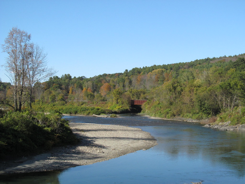
The White River is a 60.1-mile-long river in the U.S. state of Vermont, a tributary of the Connecticut River, and the namesake of the White River Valley.
The river rises at Skylight Pond south of Bread Loaf Mountain near the crest of the Green Mountains and flows east to the town of Granville, turning south and flowing through the towns of Hancock and Rochester, and entering Stockbridge, where it turns northeast and flows to the town of Bethel, where the Third Branch of the White River enters from the north.
The river flows through Royalton, Sharon, and enters the town of Hartford, where it reaches the Connecticut River at the village of White River Junction, and from Royalton to the river’s mouth, the valley is occupied by Interstate 89 and Vermont Route 14.
Lamoille River
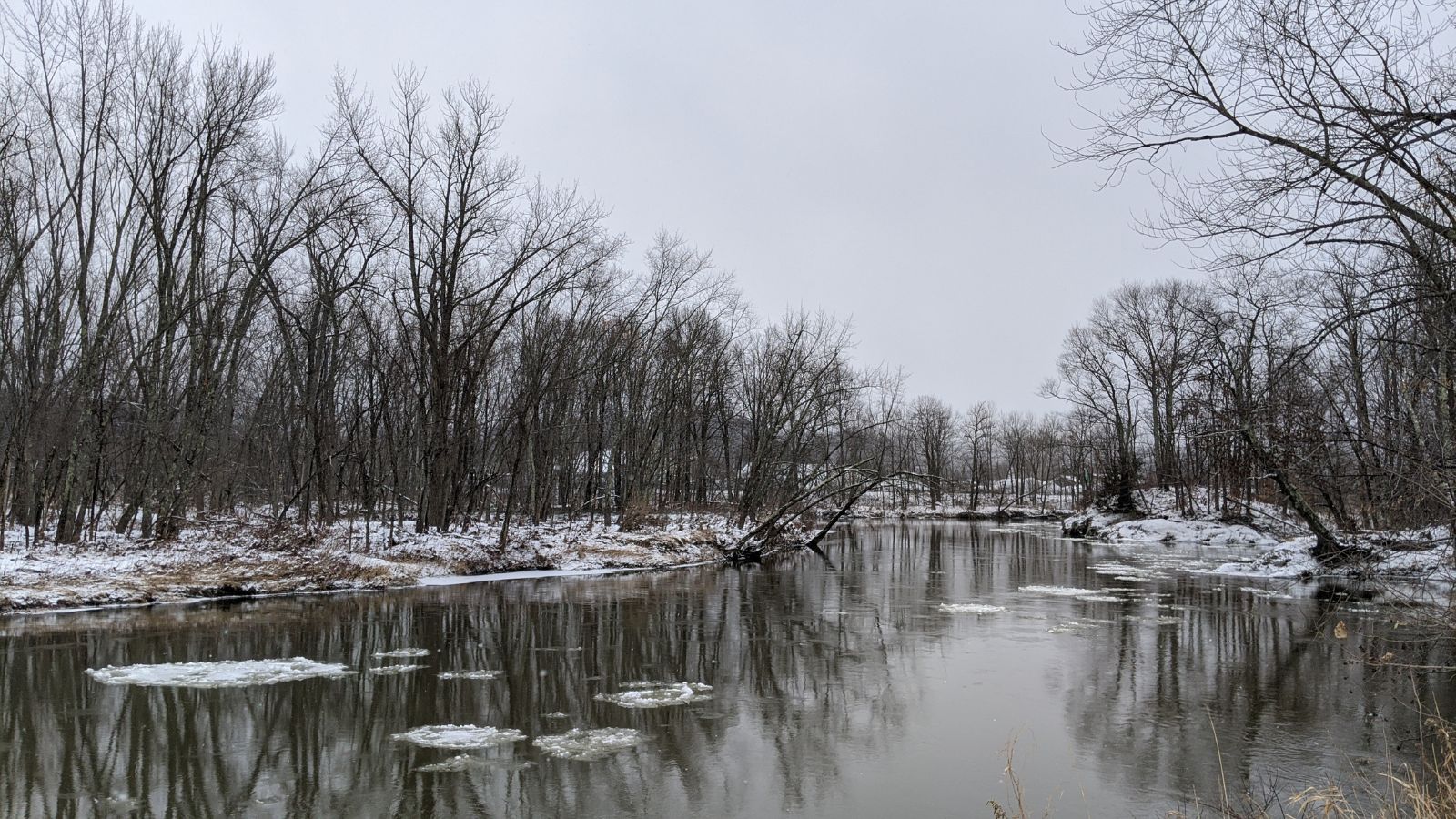
The Lamoille River is about 85 miles in length, with a drainage area of around 706 square miles, running through northern Vermont and draining into Lake Champlain. The river generally flows southwest, and then northwest, from the water divide of the Green Mountains, and it is the namesake of Lamoille County, Vermont, through which it flows.
The river was the basis of the name of the now-defunct Lamoille Valley Railroad Company, successor to the St. Johnsbury and Lamoille County Railroad. Although early French settlers named the river La Mouette, meaning “The Seagull”, a cartographer forgot to cross the t’s, which led people to begin calling it La Moulle, and over time, this became Lamoille, elided in speaking.
Passumpsic River
The Passumpsic River is a 22.7-mile-long tributary of the Connecticut River in Vermont, primarily a Caledonia County river, but it is the only river to flow through all three counties of the Northeast Kingdom.
The river arises in two branches: east and west, with the East Branch beginning just north of East Haven and flowing southwest through Hartwellville in East Haven, then into East Burke, and the West Branch starting as several small forks near Crystal Lake, northeast of Sutton, and the Montreal, Maine and Atlantic Railway lines following the West Branch of the Passumpsic until it converges with the East Branch in Lyndonville.
The river proceeds southerly through St. Johnsbury Center, St. Johnsbury, Passumpsic, and Barnet, and into the Connecticut River near Nine Island.
Missisquoi River
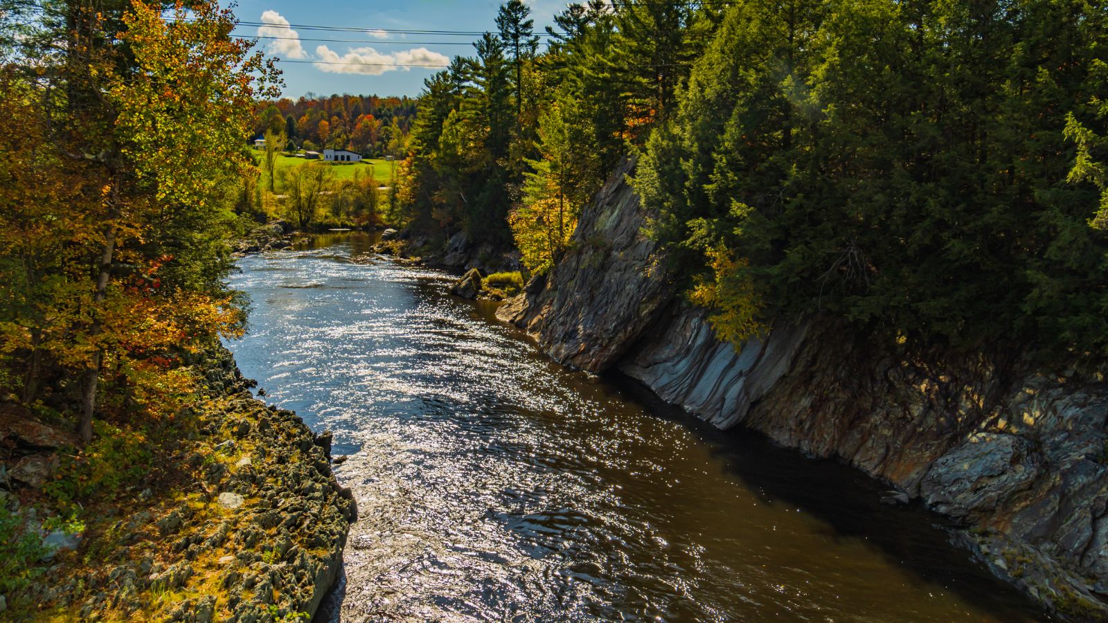
The Missisquoi River is a transboundary river on the east shore of Lake Champlain, approximately 80 miles long, in northern Vermont in the United States and southern Quebec in Canada.
It drains a rural area of the northern Green Mountains along the Canada–US border northeast of Lake Champlain, and an area of Quebec’s Eastern Townships, with the South Branch rising in Vermont and running generally from southeast to northwest, and the North Branch rising in Lake d’Argent in Eastman, Quebec, and running from north to south.
The North Branch and the South Branch join at Highwater, Quebec, just downriver from North Troy, Vermont, and the river then runs in Quebec for approximately 15 miles, re-entering Vermont at Richford and thence to Lake Champlain’s Missisquoi Bay.
Barton River
The Barton River is a tributary of Lake Memphremagog, over 22 miles long, in northern Vermont in the United States, running north from Glover through Barton, Brownington, and Coventry, and draining through Newport into Lake Memphremagog’s South Bay.
The river arises from the fountains of the former Runaway Pond in Glover, and the stretch of river from Vermont Route 16 north of Glover village to Lake Memphremagog is 21.5 miles long and is rated by American Whitewater as a class I-III section.
The Willoughby River flows from Lake Willoughby into the Barton River in Orleans and provides considerable volume, and after leaving Orleans, the Barton River flows through eastern Irasburg, through Coventry, and then into Lake Memphremagog, with parts of the following Vermont towns in the Barton River watershed: Derby, Coventry, Brownington, Irasburg, Barton, Westmore, Sheffield, Glover, and Albany, and water bodies in the watershed including Lake Willoughby, Crystal Lake, Shadow Lake, Lake Parker, and Brownington Pond.
Clyde River
The Clyde River is a tributary of Lake Memphremagog, over 33.5 miles long, in northern Vermont in the United States, the easternmost of the four major rivers in Orleans County, and the most powerful of the four within Orleans County, powering several turbines at damsites.
It was named by one of the early surveyors from his partiality to a river of the same name in Scotland, and the Route 105/114 junction to Clyde Road section of Clyde River in Vermont is 21 miles long and is rated by American Whitewater as a class I-III section.
The river drains the water from about 146 square miles, and with the exception of three miles of rapids near its mouth, this is a very sluggish stream, passing through in its course, several natural ponds of considerable size, and even during spring high water, there is barely a perceptible current.
Wells River

The Wells River is a tributary of the Connecticut River, approximately 15 miles long, in the U.S. state of Vermont, beginning at the outlet of Ricker Pond at the southern boundary of Groton State Forest in the town of Groton.
The river flows generally southeast through the towns of Ryegate and Newbury, reaching the Connecticut River at the village of Wells River, and U.S. Route 302 follows the river for most of its length.
Ottauquechee River
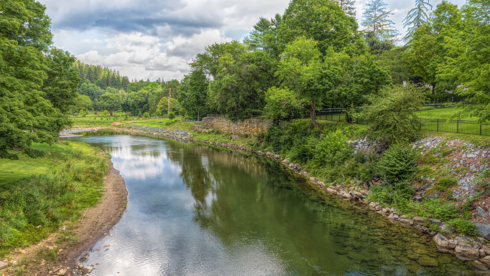
The Ottauquechee River is a 41.4-mile-long river in eastern Vermont in the United States, rising in the Green Mountains in eastern Rutland County in the town of Killington, and flowing generally eastwardly into Windsor County.
Here, it passes through or along the boundaries of the towns of Bridgewater, Woodstock, Pomfret, Hartford, and Hartland, and the villages of Woodstock and Quechee, joining the Connecticut River in the town of Hartland, about 4 miles south-southwest of White River Junction.
The river has a headwaters tributary known as the North Branch Ottauquechee River that flows southeastwardly through the towns of Killington and Bridgewater, and Quechee State Park is located along the river near the village of Quechee, with the river flowing through the 165-foot-deep Quechee Gorge near the state park, and the U.S. Rt. 4 bridge crossing over the gorge and providing good viewing down into its depths.
Mettawee River
The Mettawee River is a tributary of Lake Champlain in western Vermont and eastern New York in the United States, passing the town of Granville, New York, and is particularly good for rapids and kayaking.
The river offers an exciting and challenging experience for kayakers with its rapids that range from Class II to Class IV, and it is a popular spot for outdoor enthusiasts looking for a thrilling adventure.
Lakes
Lake Champlain
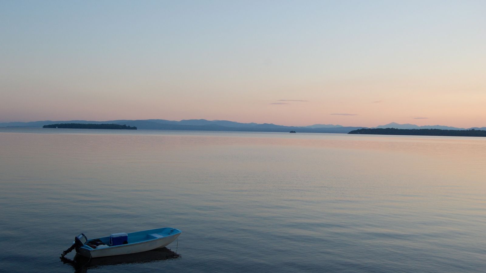
Lake Champlain is a natural freshwater lake in North America that mostly lies between the US states of New York and Vermont, but also extends north into the Canadian province of Quebec.
The New York portion of the Champlain Valley includes the eastern portions of Clinton County and Essex County, with recreational facilities in the park and along the relatively undeveloped coastline of Lake Champlain, and the cities of Plattsburgh, New York, and Burlington, Vermont, on the lake’s western and eastern shores, respectively, and the town of Ticonderoga, New York, in the region’s southern part.
The lake has a number of islands, with the largest including Grand Isle, Isle La Motte, and North Hero, all part of Grand Isle County, Vermont, and because of both Lake Champlain’s connection to the St. Lawrence Seaway via the Richelieu River and the existence of the Champlain Canal, Lake Champlain is sometimes referred to as “The Sixth Great Lake.”
Lake Memphremagog

Lake Memphremagog is a freshwater glacial lake located between Newport, Vermont, and Magog, Quebec, spanning both Quebec and Vermont, but mostly in Quebec.
Most of the watershed that feeds the lake is located in Vermont and is a source of accumulated phosphorus, sediments, and other pollutants. However, cleanup efforts since the late 1980s have improved the water quality. The lake furnishes potable water for 200,000 people, and it is a popular spot for recreational activities such as boating, fishing, and swimming.
Harriman Reservoir
Harriman Reservoir in Vermont has a water surface area of 2,039 acres, a maximum depth of 180 feet, and a gross storage capacity of 117,300 acre-feet. The dam and reservoir were named in recognition of utility executive Henry I. Harriman, a former president of the New England Power Company, and the reservoir is a popular spot for recreational activities such as fishing, boating, and camping. The surrounding area is also known for its scenic beauty and hiking trails.
Seymour Lake
Seymour Lake is a spring-fed lake located in Morgan, Vermont, in the Northeast Kingdom of Vermont, on a tributary of the Clyde River in Orleans County, Vermont. The lake, completed in 1928, is 2.8 square miles with a surface area of 1,777 acres and an elevation of 1278 feet, and it is a popular spot for recreational activities such as fishing, boating, and swimming. The closest major airport to Seymour Lake is located in Burlington, Vermont, approximately 101 miles away.
Moore Reservoir
Moore Reservoir is an impoundment on the Connecticut River located in the communities of Littleton, New Hampshire; Dalton, New Hampshire; Waterford, Vermont; and Concord, Vermont, occupying approximately 3,181 acres.
The reservoir was created by the completion of the Moore Dam in 1956, which caused the flooding of several villages, including Pattenville, New Hampshire, and old Waterford, Vermont, and is now owned and operated by TransCanada Corporation, with a capacity of 192 megawatts, making it the most productive of TransCanada’s thirteen hydroelectric facilities in New England.
The lake is classified as a cold- and warmwater fishery, with observed species including brook trout, rainbow trout, brown trout, smallmouth and largemouth bass, chain pickerel, bullpout, northern pike, and rock bass.
Lake Bomoseen

Lake Bomoseen is the largest lake that lies entirely within the state’s boundaries, with a surface area of approximately 2,400 acres, located in the towns of Castleton and Hubbardton in Rutland County, Vermont.
The lake was formed by glaciation and has an average and maximum depth of 27 feet and 65 feet, respectively, draining a 24,770-acre watershed, and has five major inlets, and empties to the Castleton River, a tributary of the Poultney River, which in turn flows west to East Bay at the southern end of Lake Champlain.
Bomoseen State Park occupies a portion of the lake’s western shoreline, and the lake has recreational accommodations such as a public beach, marinas, and public boat launches, in addition to the state park.

