Amid the rugged canyons and expansive landscapes of the Beehive State lies a lesser-known tale – a story woven not just in its natural wonders but in the sinuous paths of its rivers and the reflective allure of its lakes.
Utah, celebrated for its outdoor adventures and rich heritage, cradles within its embrace a hidden treasure – an intricate network of waterways that mirror its legacy of exploration and endurance. Like whispered echoes in its desert winds, Utah’s rivers and lakes carry stories of sustenance, resilience, and the quiet strength of its inhabitants.
In this article, we embark on a journey that traces the winding currents of Utah’s rivers and gazes upon the mirrored surfaces of its lakes. Join us as we unveil the significance of these aqueous narratives, uncovering their role in shaping the state’s identity, culture, and vitality, and revealing how water has sculpted its mark onto the very essence of the Beehive State’s captivating narrative.
Printable Utah Lakes and Rivers Map
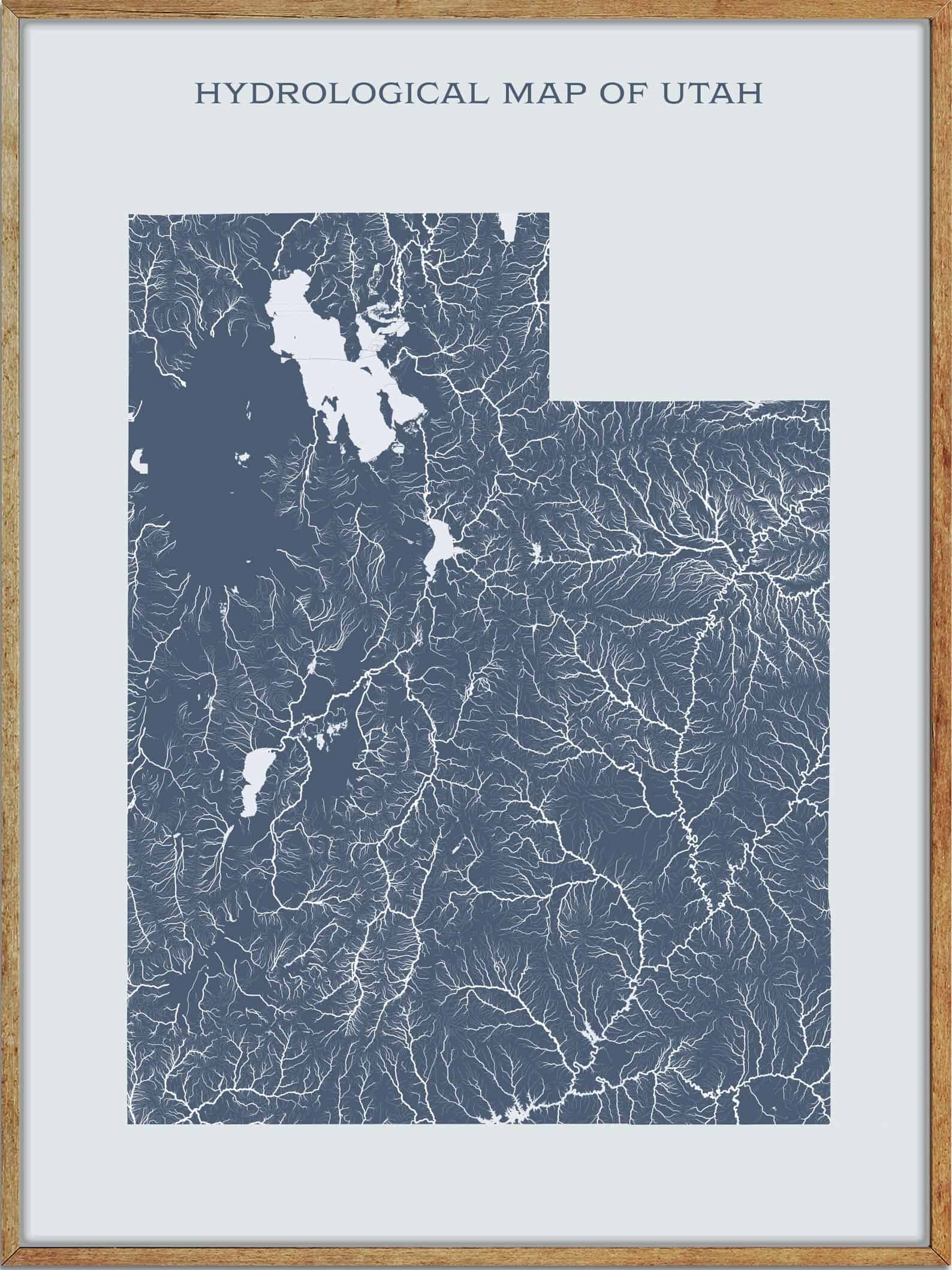
Rivers
Virgin River
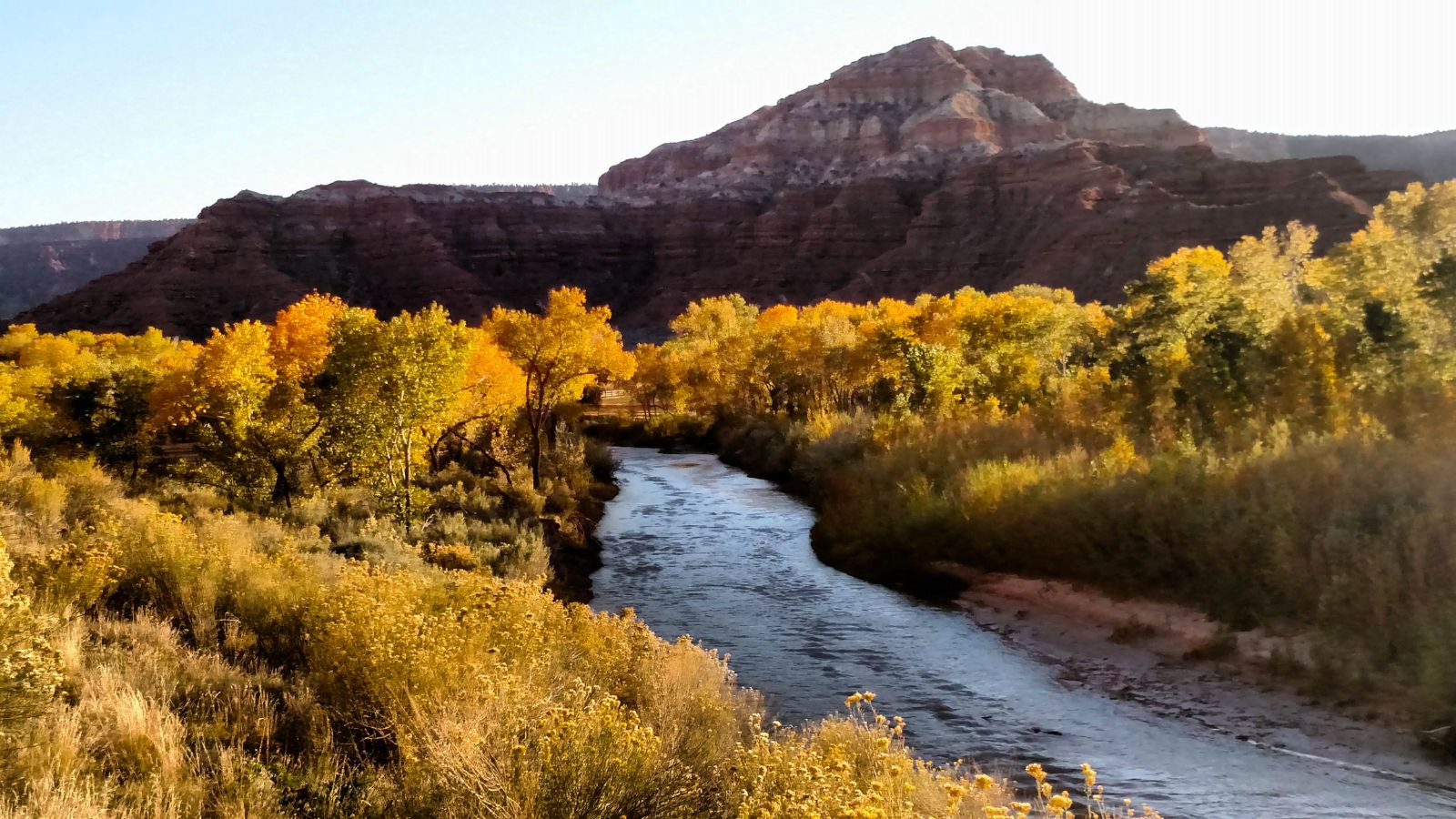
The Virgin River is a 162-mile-long tributary of the Colorado River that flows through the U.S. states of Utah, Nevada, and Arizona. It was named by Jedediah Smith in 1826 as “Adams River” after then-president John Quincy Adams, but later explorer John C. Fremont reported that it was called “Rio Virgen” without stating the origin of the name.
The river was designated Utah’s first wild and scenic river in 2009, during the centennial celebration of Zion National Park, and played a significant role in the Old Spanish Trail, which followed the Virgin River for part of its length from near St. George to the point it ascended the Mormon Plateau to cross to the Muddy River in present-day Nevada.
Sevier River
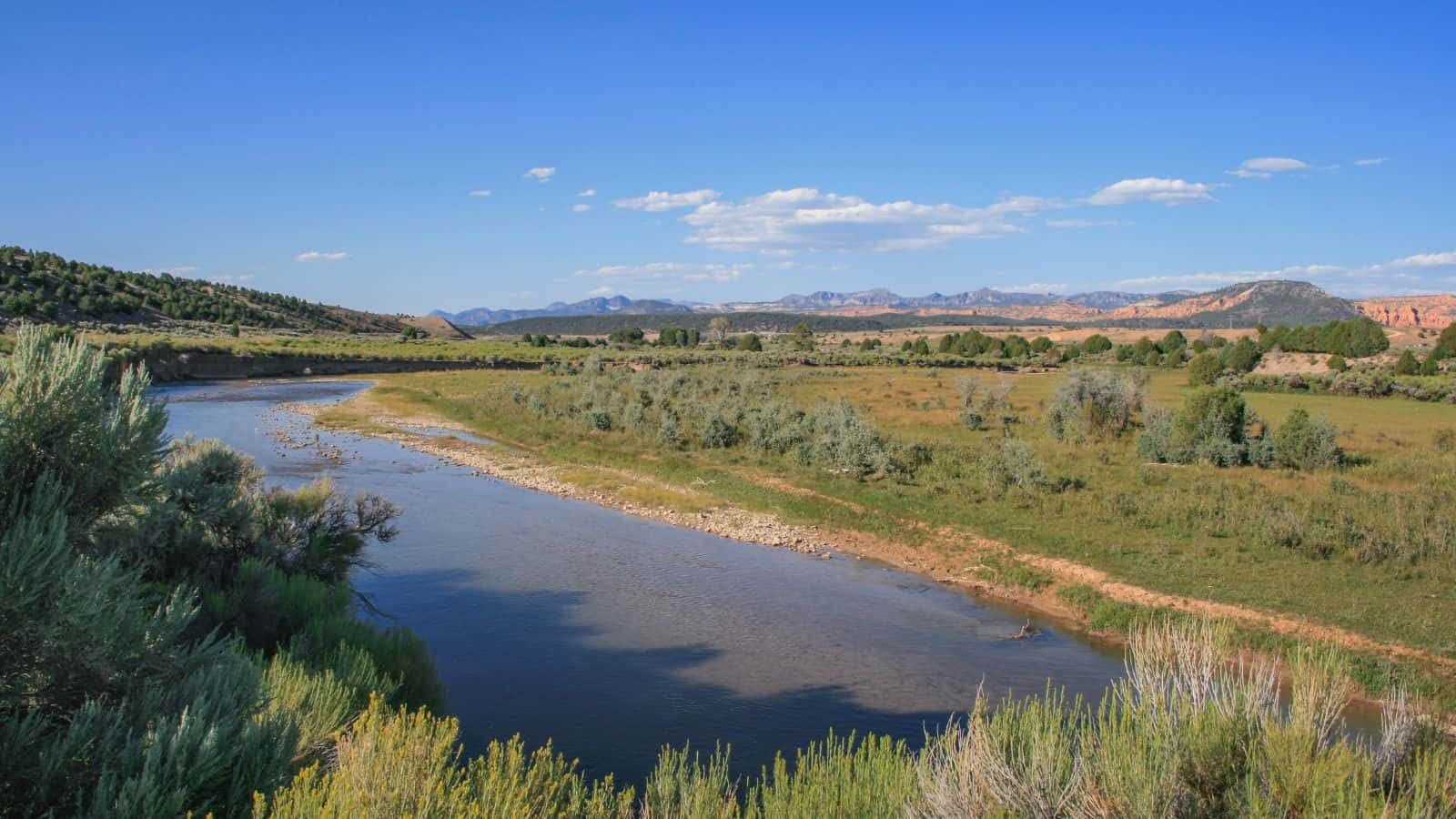
The Sevier River is a 400-mile-long river in southwestern Utah that originates west of Bryce Canyon National Park and flows north through high farming valleys and steep canyons along the west side of the Sevier Plateau before turning southwest and terminating in the endorheic basin of Sevier Lake in the Sevier Desert.
The river is extensively used for irrigation along its course, which results in Sevier Lake usually being dry. The Sevier River drainage basin covers more than 13 percent of Utah and includes parts of ten counties, making it the longest river entirely within the state of Utah and deriving its name from the Spanish “Río Severo”, meaning “violent river”.
White River

The White River is an 8-mile-long southeastward-flowing river in Wasatch and Utah Counties in eastern Utah that is a tributary to the Price River, which is, in turn, a tributary to the Green River and then to the Colorado River.
In pioneer times, northbound travelers from the Castle or Price River Valleys ascended along the White River to the Emma and Whitmore Park area east of Soldier Summit and then descended northeast through the Soldier Creek canyon to reach the cities of the Utah and Salt Lake Valleys.
The White River mainstem is formed by the confluence of the Left Fork White River and the Right Fork White River, which drains Reservation Ridge, and most of the upper watershed is in Wasatch County in the Uinta National Forest, now part of the Wasatch-Cache National Forest.
San Rafael River

The San Rafael River is a tributary of the Green River that flows approximately 90 miles across a sparsely populated arid region of the Colorado Plateau in east-central Utah. The river rises in northwestern Emery County, by the confluence of Cottonwood, Huntington, and Ferron creeks, and flows east-southeast along the north side of the Coal Cliffs and the San Rafael Swell.
It passes through two narrow slot canyons in Coconino Sandstone called the Upper and Lower Black Box, and into the San Rafael Valley, where it joins the Green River from the west. The San Rafael is known for the isolated, scenic gorge through which it flows, sometimes called the “Little Grand Canyon”.
Escalante River

The Escalante River is a tributary of the Colorado River that flows southeast for approximately 90 miles before joining Lake Powell. Its watershed includes the high forested slopes of the Aquarius Plateau, the east slope of the Kaiparowits Plateau, and the high desert north of Lake Powell.
The river was first mapped and named by Almon Thompson, a member of the 1872 Colorado River expedition led by John Wesley Powell, and was named after Silvestre Vélez de Escalante, a Franciscan missionary and the first known European explorer of the region who, along with his companions, passed by the Grand Canyon and were the first white men to enter Utah during the Domínguez–Escalante expedition in 1776.
Weber River
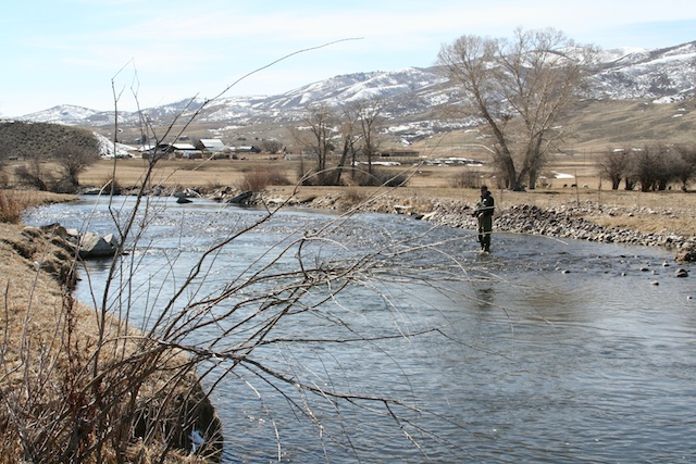
The Weber River is a c. 125-mile-long river in northern Utah that begins in the northwest of the Uinta Mountains and empties into the Great Salt Lake. The river was named after American fur trapper John Henry Weber and passes by Oakley, fills the reservoir of Rockport Lake and receives the flow of major tributaries Silver Creek at Wanship and Chalk Creek at Coalville.
The Weber River also passes Henefer, Morgan, and Uintah, where it is joined by the Ogden River west of Ogden and contributes about 25 percent of the total water entering the Great Salt Lake. The river is home to several fish species, including brook, brown, Bonneville cutthroat, stocked rainbow trout, and mountain whitefish.
Duchesne River
The Duchesne River is a 115-mile-long tributary of the Green River located in the Uintah Basin region of Utah, draining a total land area of 3,790 square miles. The river begins in the Uinta Mountains and flows southeast, picking up the Lake Fork River from the north near Myton and the Uinta River from the north at Randlett, before emptying into the Green River at Ouray.
The Duchesne River flows through Duchesne and Uintah counties, although some of its watersheds extend into Wasatch County, and its major tributaries include the Yellowstone River, Whiterocks River, Rock Creek, and Currant Creek.
Bear River
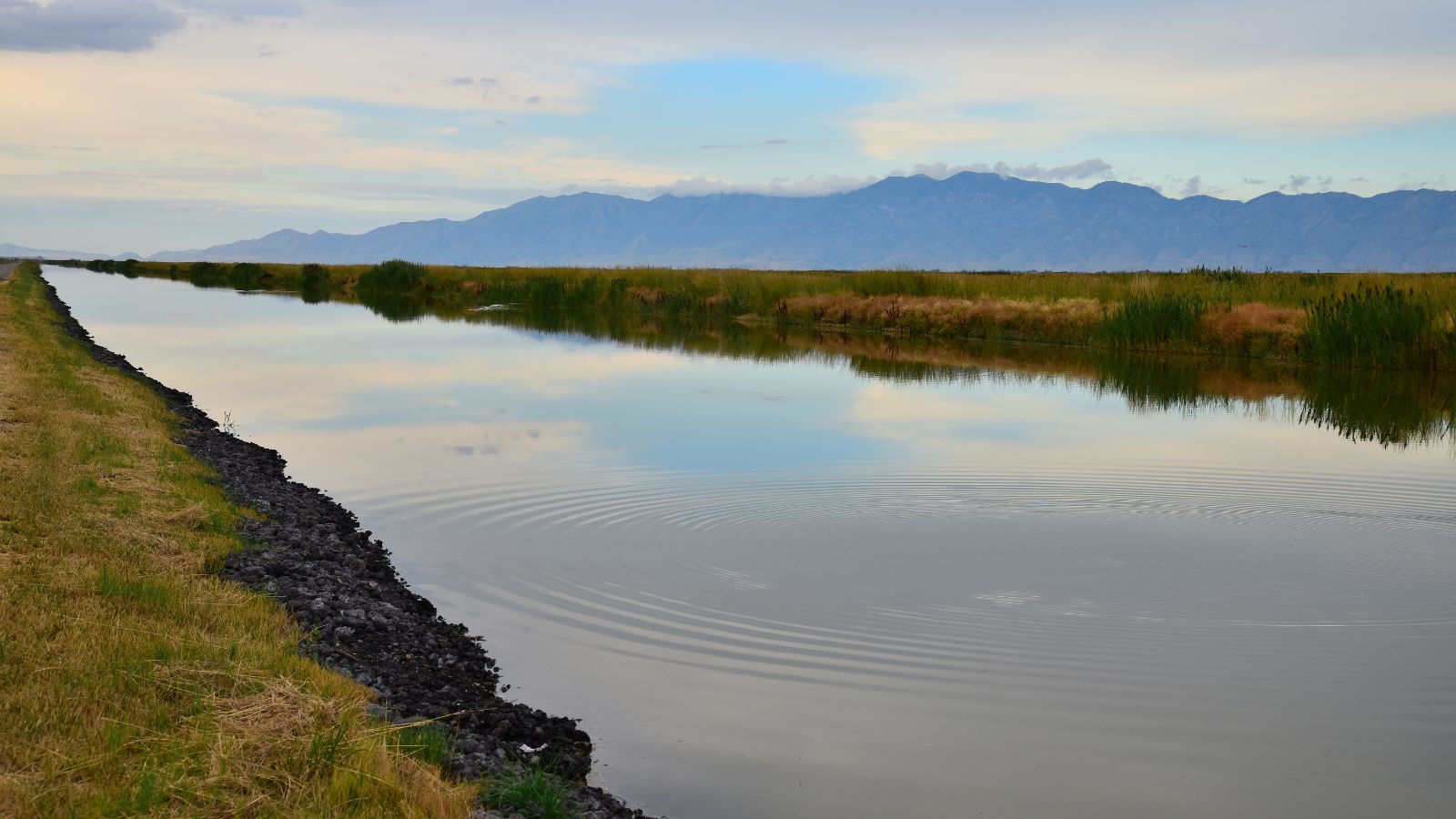
The Bear River is the largest tributary of the Great Salt Lake, flowing approximately 350 miles through northeastern Utah, southwestern Wyoming, southeastern Idaho, and back into northern Utah. It drains a mountainous area and farming valleys northeast of the lake and southeast of the Snake River Plain, and is the longest river in North America that does not ultimately reach the sea.
Paria River
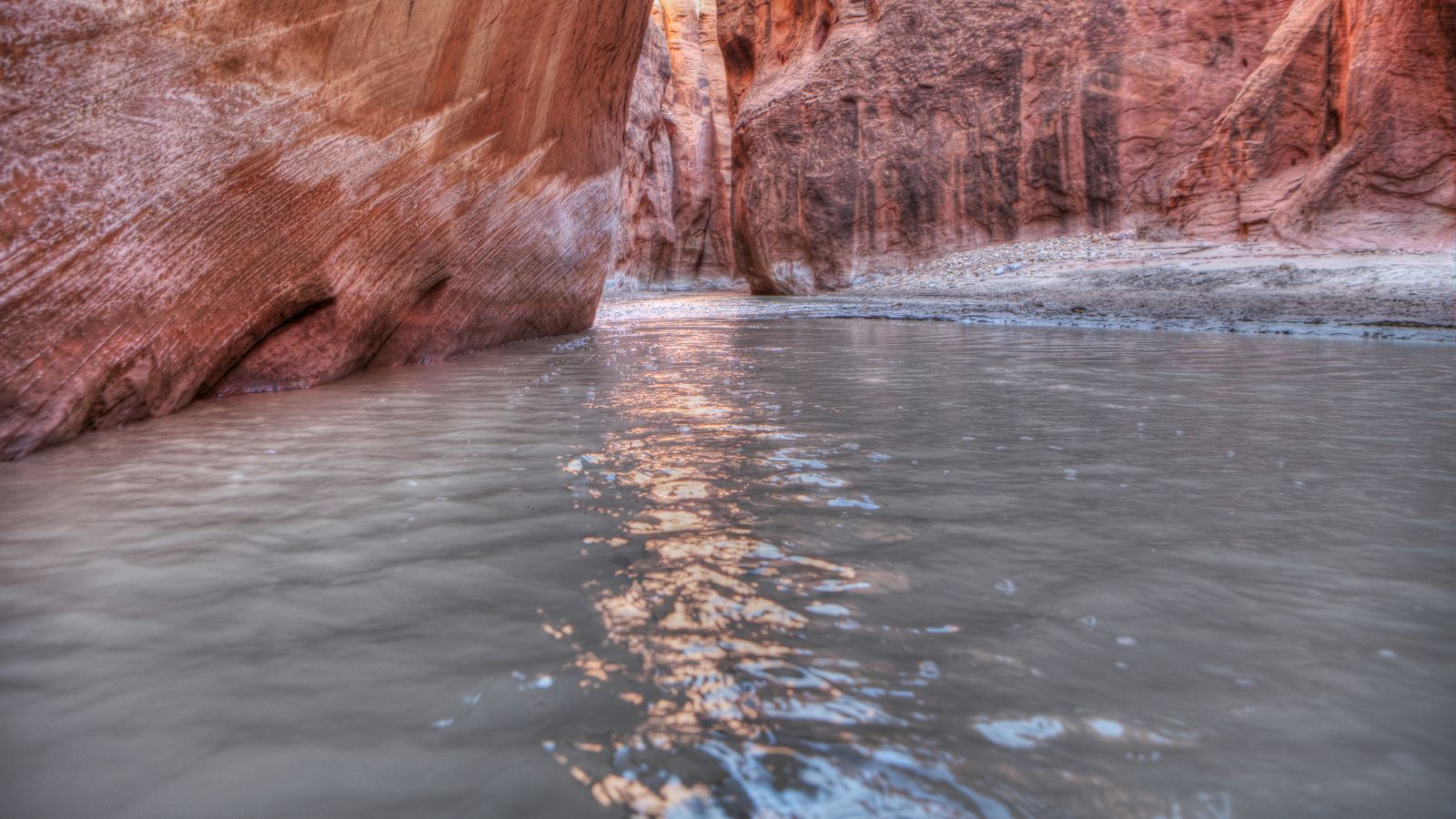
The Paria River is a tributary of the Colorado River that flows approximately 95 miles through southern Utah and northern Arizona. It is formed in southwestern Garfield County from several creeks that descend from the edge of the Paunsaugunt Plateau, flows SSE across Kane County and Grand Staircase–Escalante National Monument, and descends through the Vermilion Cliffs in the Paria Canyon and onto the Paria Plateau along the Arizona state line.
The lower 20 miles of the river are within the Paria Canyon-Vermilion Cliffs Wilderness, which is administered by the Bureau of Land Management, and a permit is required for any overnight visit.
Price River
The Price River is a 137-mile-long southeastward-flowing river in Carbon, Utah, and Emery counties in eastern Utah that is a tributary to the Green River, itself a tributary to the Colorado River.
The river was originally called the White River but was renamed by LDS Bishop William Price of Goshen, Utah, in the summer of 1869, making the White River above Colton into a tributary of the Price River. The town of Price was later named after the river.
Dirty Devil River

The Dirty Devil River is an 80-mile-long tributary of the Colorado River that flows through southern Utah from the confluence of the Fremont River and Muddy Creek before emptying into the Colorado River at Lake Powell.
The river is formed in Wayne County near Hanksville and flows generally southward through a 2,000-foot-deep canyon in Wayne and Garfield counties, with its lower 20 miles flowing through Glen Canyon National Recreation Area. The canyon carved by the river is particularly isolated and seldom visited compared to other natural areas in the region, and the average discharge is approximately 446 cubic feet per second.
Provo River
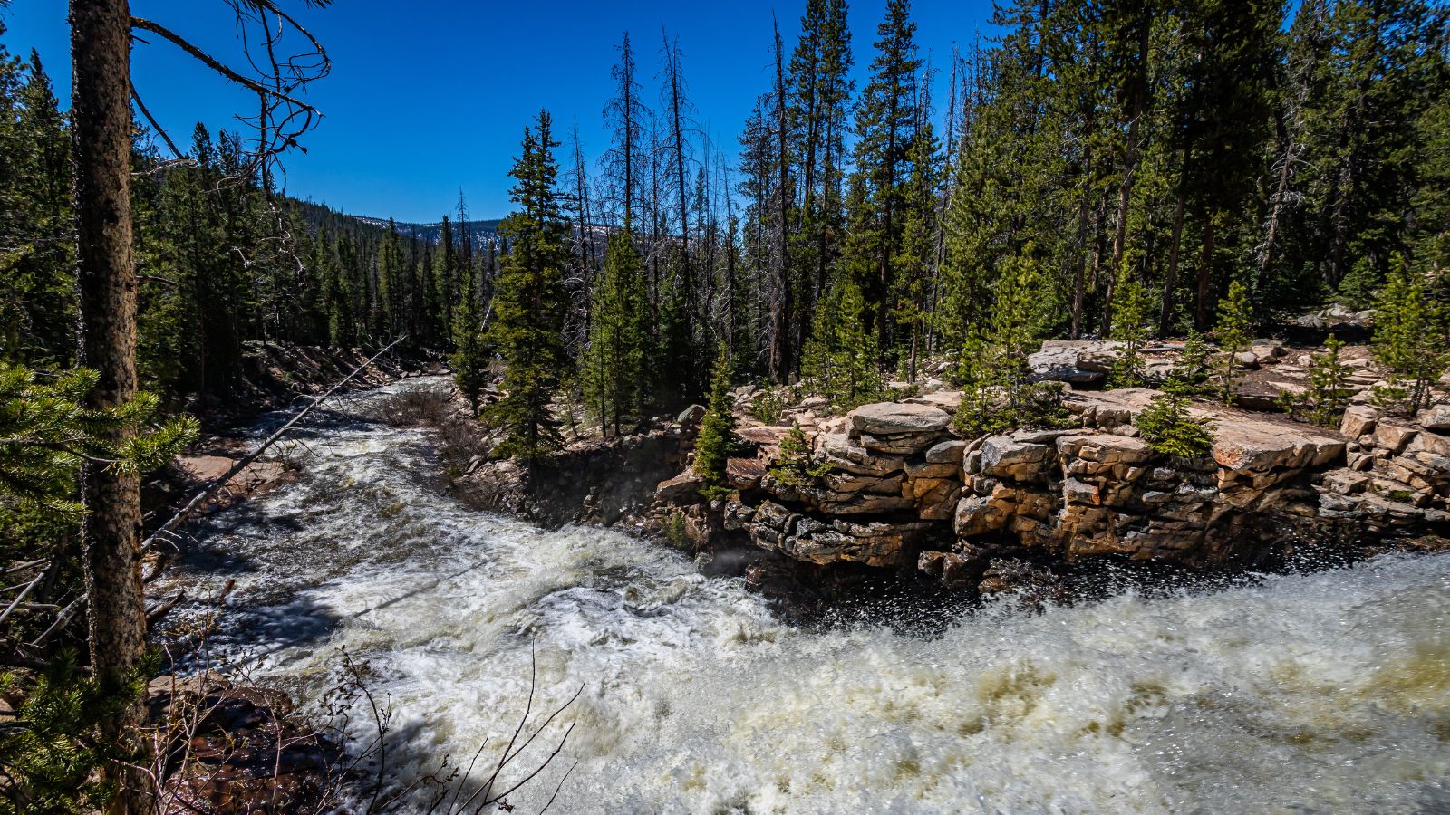
The Provo River is located in Utah County and Wasatch County, Utah, rising in the Uinta Mountains at Wall Lake and flowing about 71 miles southwest to Utah Lake at the city of Provo, Utah. The river has two main branches, the North Fork Provo River and South Fork Provo River, and is impounded by Jordanelle Reservoir at the north end of the Heber Valley.
The river is split into upper, middle, and lower sections, with the upper Provo originating in the high Uintas and flowing into Jordanelle Reservoir, the Middle Provo flowing from the dam of Jordanelle to Deer Creek Reservoir and joined by Snake Creek, and the lower section flowing out of Deer Creek Reservoir through Provo Canyon and into Utah Lake.
Uinta River
The Uinta River, also historically spelled as Uintah River, is a tributary of the Duchesne River that flows through Duchesne and Uintah counties in Utah, United States.
The river originates in the Uinta Mountains and flows southeast for about 60 miles to join the Duchesne near Randlett, and is an important source of water for local irrigation. The Uinta River has several tributaries, including the Whiterocks River, which joins it near Whiterocks, and the Dry Gulch Creek near Fort Duchesne.
San Pitch River
The San Pitch River is the primary watercourse of the Sanpete Valley, extending 65 miles and draining into the Sevier River in southwestern Sanpete. The river is named after the Ute chief Sanpitch, who also gives his name to the San Pitch Mountains and Sanpete County.
The upper San Pitch River begins north of Milburn near Oak Creek Ridge and flows south to Moroni, while the middle San Pitch River runs from Moroni to Gunnison Reservoir, and the lower San Pitch River flows from Gunnison Reservoir to where it meets the Sevier River, west of Gunnison.
Fremont River
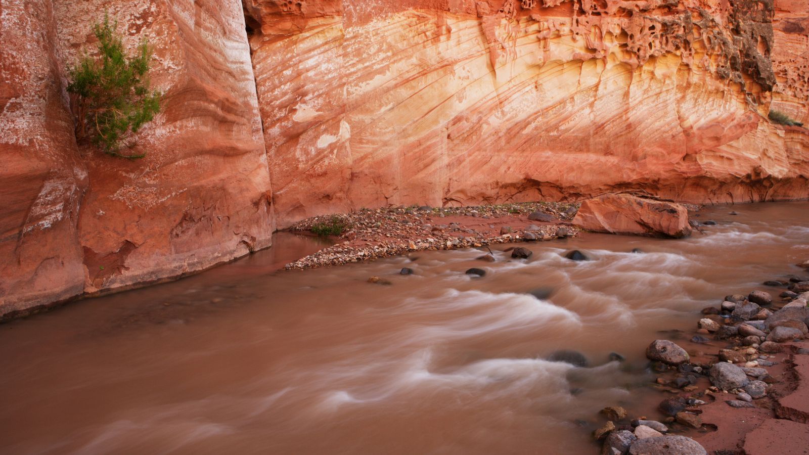
The Fremont River is a 95-mile-long river in southeastern Utah that flows from the Johnson Valley Reservoir, located on the Wasatch Plateau near Fish Lake, southeast through Capitol Reef National Park to the Muddy Creek near Hanksville where the two rivers combine to form the Dirty Devil River, a tributary of the Colorado River.
The Johnson Valley Reservoir is fed by Sevenmile Creek from the north and Lake Creek from the southwest, and the Fremont River passes through several towns, including Fremont, Loa, Lyman, Bicknell, Teasdale, and Torrey, providing year-round irrigation for agricultural lands in Rabbit Valley and Caineville before heading through Hanksville and reaching its mouth.
Lakes
Great Salt Lake
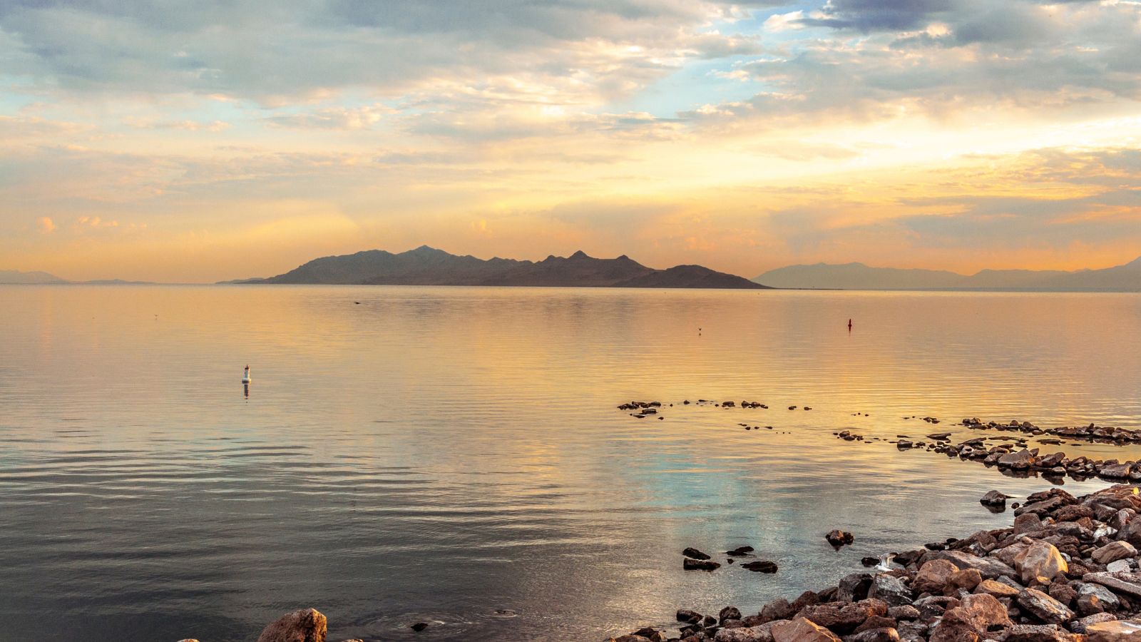
The Great Salt Lake is the largest saltwater lake in the Western Hemisphere and the eighth-largest terminal lake in the world. It is located in the northern part of the U.S. state of Utah and has a substantial impact on the local climate, particularly through lake-effect snow.
The lake is a remnant of Lake Bonneville, a prehistoric body of water that covered much of western Utah, and its area can fluctuate substantially due to its low average depth of 16 feet. The lake’s three major tributaries, the Jordan, Weber, and Bear rivers, together deposit around 1.1 million tons of minerals in the lake per year, giving it high salinity and density, but also providing a habitat for millions of native birds, brine shrimp, shorebirds, and waterfowl.
Utah Lake
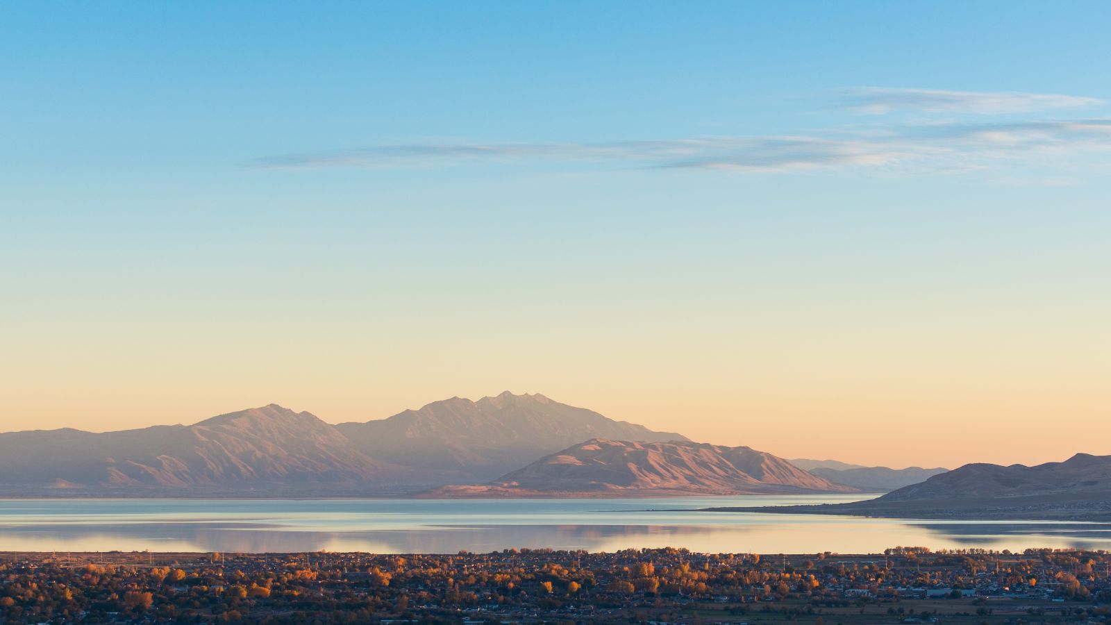
Utah Lake is a shallow freshwater lake in the center of Utah County, Utah, surrounded by the Provo-Orem metropolitan area, with its only river outlet, the Jordan River, being a tributary of the Great Salt Lake. The lake’s elevation is at 4,489 feet above sea level, with evaporation accounting for 42% of its outflow, leaving the lake slightly saline.
The lake has a history of overharvesting of native fish species by settlers, leading to restocking with non-native species, with only the Utah sucker and the critically endangered June sucker remaining, and is now dominated by the common carp, which contributes to a decline in native fish populations by severely altering the ecosystem.
Pollution has also caused problems with the lake’s ecosystem, with raw sewage dumped into the lake as late as 1967 and phosphorus and mineral salt levels in violation of the Clean Water Act, while the lake has recently been prone to harmful algal blooms.
Lake Powell

Lake Powell is an artificial reservoir on the Colorado River in Utah and Arizona, the second largest artificial reservoir by maximum water capacity in the United States, storing 24,322,000 acre-feet of water when full and visited by approximately two million people every year.
It was created by the flooding of Glen Canyon by the Glen Canyon Dam, leading to the 1972 creation of Glen Canyon National Recreation Area, and is named after John Wesley Powell, who explored the river via three wooden boats in 1869.
Lake Powell is primarily located in parts of Garfield, Kane, and San Juan counties in southern Utah, with a small portion in Coconino County in northern Arizona, and serves as a water storage facility for the Upper Basin states of the Colorado River Compact.
Sevier Lake
Sevier Lake is an intermittent and endorheic lake located in the lowest part of the Sevier Desert, Millard County, Utah, and is a remnant of Pleistocene Lake Bonneville. The lake has been mostly dry throughout recorded history and is a source of wind-blown dust, fed primarily by the Beaver and Sevier rivers, with additional inflow from the lake’s watershed that is part of the Escalante-Sevier hydrologic subregion.
The lake’s surface area was recorded at 188 square miles in 1872, with a salinity of 86 parts per thousand and a maximum depth of 15 feet. It was nearly dry in 1880, with the Sevier River, which once flowed to the lake, now largely diverted for irrigation.
Strawberry Reservoir
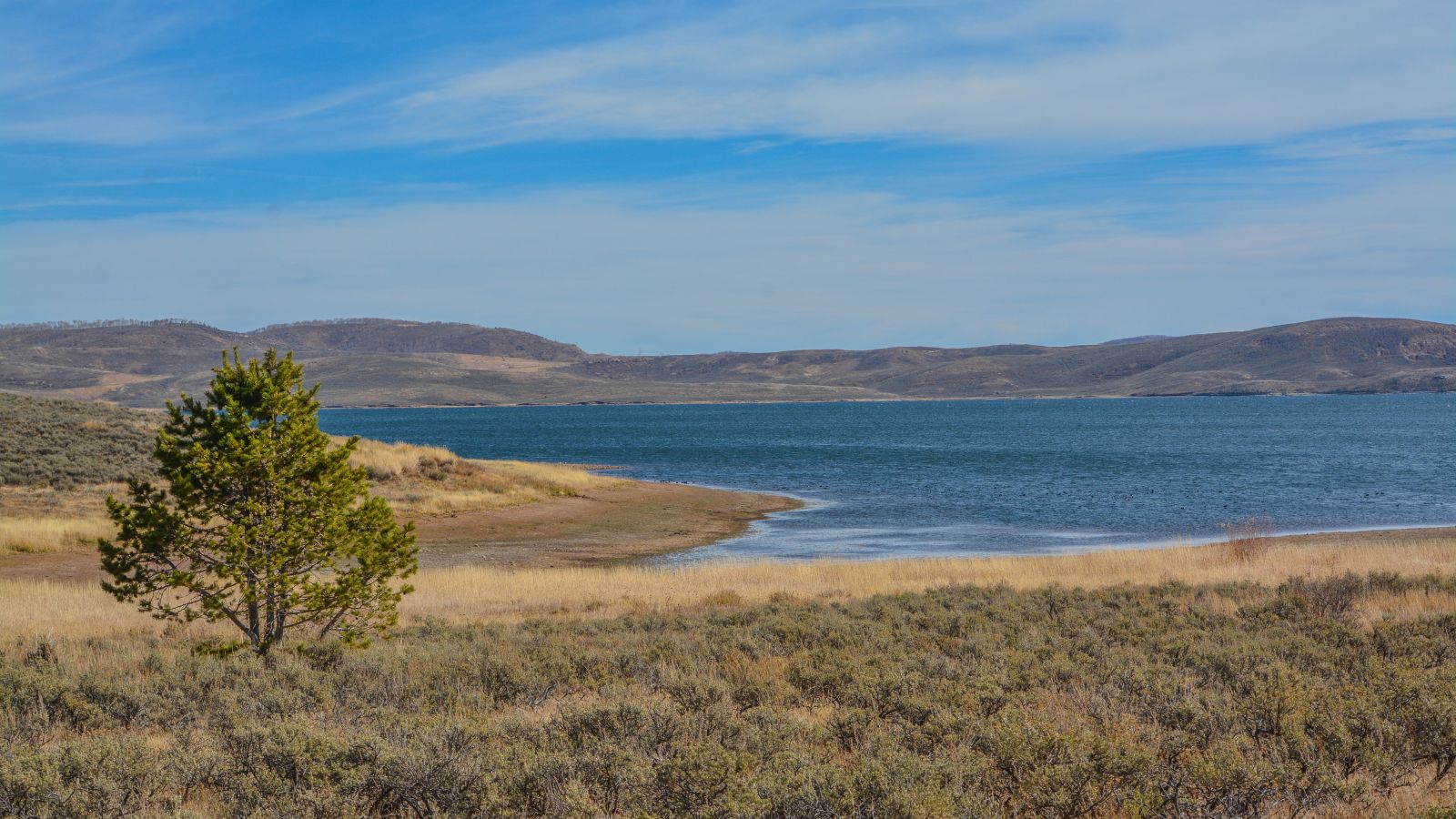
Strawberry Reservoir is Utah’s most popular fishery, receiving over 1.5 million angling hours annually, and is part of the Blue Ribbon Fisheries program, with game fish including sterilized rainbow trout, bear lake cutthroat trout, kokanee salmon, and crayfish.
The reservoir is located 23 miles southeast of Heber, Utah on U.S. Route 40, situated in Strawberry Valley, which is normally part of the Colorado River drainage, and the dam was constructed to divert water into Utah Valley. Strawberry Reservoir received the American Fisheries Society’s Outstanding Sport Fish Development/Restoration Project of the Year award in 2006.
Starvation Reservoir
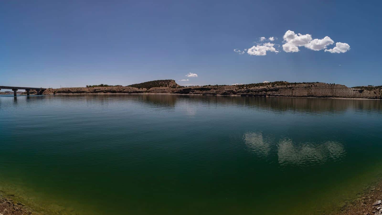
Fred Hayes State Park at Starvation is a state park in northeastern Utah, featuring the 3,495-acre Starvation Reservoir, located 4 miles northwest of the town of Duchesne, Utah.
The area is named after the various narratives explaining the name “Starvation,” with one story involving a local rancher who attempted to graze livestock in the area and they all starved, and another account describing a group of fur trappers stranded in harsh winter conditions who survived by stealing a local Native American cache of food, which resulted in their starvation.

