Amid the sweeping plains and the vibrant culture of the Sooner State, another story flows – a narrative not just in its historical markers but in the winding currents of its rivers and the reflective serenity of its lakes. Oklahoma, celebrated for its western heritage and diverse landscapes, cradles within its embrace a treasure less explored – a network of waterways that mirror its legacy of resilience and unity.
Like the hushed conversations in a country café, Oklahoma’s rivers and lakes carry tales of exploration, commerce, and the timeless relationship between its people and their surroundings. In this article, we embark on a journey that navigates the courses of Oklahoma’s rivers and immerses in the mirrored depths of its lakes.
Join us as we unveil the significance of these aqueous narratives, uncovering their role in shaping the state’s identity, culture, and prosperity, and revealing how water has woven itself into the very fabric of the Sooner State’s compelling narrative.
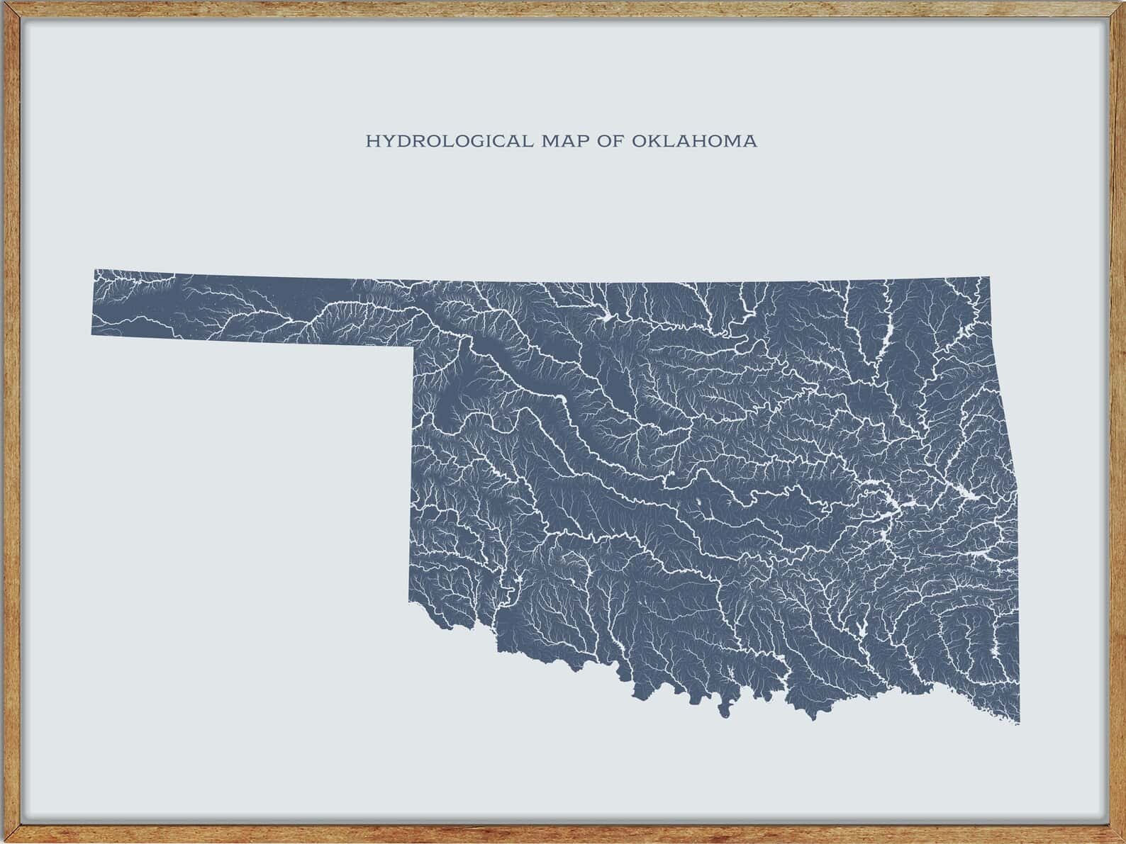
Printable Oklahoma Lakes and Rivers Map
Rivers
Canadian River
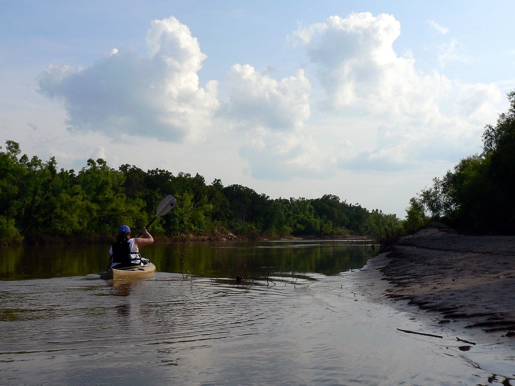
The Canadian River is the longest tributary of the Arkansas River in the United States, stretching about 1,026 miles from Colorado through New Mexico, the Texas Panhandle, and Oklahoma, with a drainage area of approximately 47,700 square miles. To differentiate it from the North Canadian River that flows into it, the Canadian River is sometimes referred to as the South Canadian River.
Washita River
The Washita River, stretching 295 miles from Texas to Oklahoma, terminates at its confluence with the Red River, which is now part of Lake Texoma on the Texas-Oklahoma border.
The river bisects the heart of the Anadarko Basin, the fifth-largest natural gas formation area in the United States, and when it reaches the Arbuckle Mountains, it drops 30 feet per mile as it cuts through Big Canyon, a limestone gorge 300 feet deep. However, the Washita’s river bed is made up of unstable mud and sand, and its banks are composed of steeply incised and erosive red earth, making it one of the most silt-laden streams in North America.
Arkansas River

The Arkansas River, a major tributary of the Mississippi River, flows to the east and southeast as it traverses the U.S. states of Colorado, Kansas, Oklahoma, and Arkansas, with its source basin lying in Colorado’s Arkansas River Valley.
At 1,469 miles, it is the sixth-longest river in the United States, the second-longest tributary in the Mississippi-Missouri system, and the 45th-longest river in the world, with a mean discharge of about 40,000 cubic feet per second. The Arkansas River’s mouth is at Napoleon, Arkansas, and its drainage basin covers nearly 170,000 square miles.
Little River
The Little River, a 90-mile tributary of the Canadian River in central Oklahoma, rises in Moore and flows generally southeastwardly through Pottawatomie, Seminole, and Hughes counties before joining the Canadian River about 5 miles south of Holdenville.
The river is dammed to form Lake Thunderbird in Cleveland County, and downstream of the lake, several sections of the river have been straightened and channelized. With a mean annual discharge of 360 cubic feet per second, the Little River is an important part of the Mississippi River watershed via the Canadian and Arkansas rivers.
Verdigris River
The Verdigris River, a 310-mile tributary of the Arkansas River in southeastern Kansas and northeastern Oklahoma, is formed near Madison, Kansas, by the convergence of its North and South forks, and flows generally southward throughout its course.
The river enters Oklahoma south of Coffeyville and joins the Arkansas River near Muskogee, about a mile upstream of the mouth of the Neosho River, at the area of convergence of the three rivers called “Three Forks”. As part of the Mississippi River watershed, the Verdigris River plays an important role in the region’s water system.
Beaver River
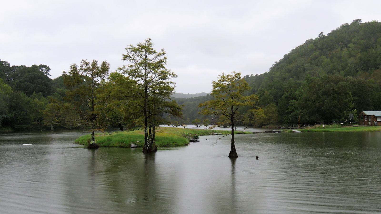
The Beaver River, an intermittent river stretching 280 miles in western Oklahoma and northern Texas, is a tributary of the North Canadian River, draining an area of 11,690 square miles in a watershed that extends to northeastern New Mexico and includes most of the Oklahoma Panhandle.
The river is formed in Cimarron County, Oklahoma, by the confluence of Corrumpa Creek and Seneca Creek, and flows generally eastward throughout its course, passing through Sherman County, Texas, and through several Oklahoma counties before joining Wolf Creek to form the North Canadian River northeast of Fort Supply.
Caney River
The Caney River, a 180-mile-long river in southern Kansas and northeastern Oklahoma, is a tributary of the Verdigris River and is usually a flatwater stream popular for canoeing. The river forms just north of Grenola in Elk County, Kansas, and flows south into Oklahoma near Elgin, Kansas, before turning southeast and flowing into Rogers County, where it joins the Verdigris River between Collinsville and Claremore.
However, the river caused disastrous floods in the Bartlesville area in 1885, 1926, and 1986, with the flood in 1986 causing more than US$30 million in property damage and splitting Bartlesville virtually in half for several days.
Neosho River

The Neosho River, a tributary of the Arkansas River in eastern Kansas and northeastern Oklahoma, is about 463 miles long and its tributaries also drain portions of Missouri and Arkansas, making it part of the Mississippi River watershed. Its name, meaning “clear water,” is an Osage word.
The river’s headwaters are in Morris County, Kansas, and it flows southeast through Kansas before turning south-southwest for the remainder of its course through Oklahoma, where it meets the Arkansas River near the city of Muskogee, about a mile downstream of the confluence of the Arkansas River and the Verdigris River. The lower section of the river is also known as the Grand River, which flows south to the Grand Lake.
Kiamichi River
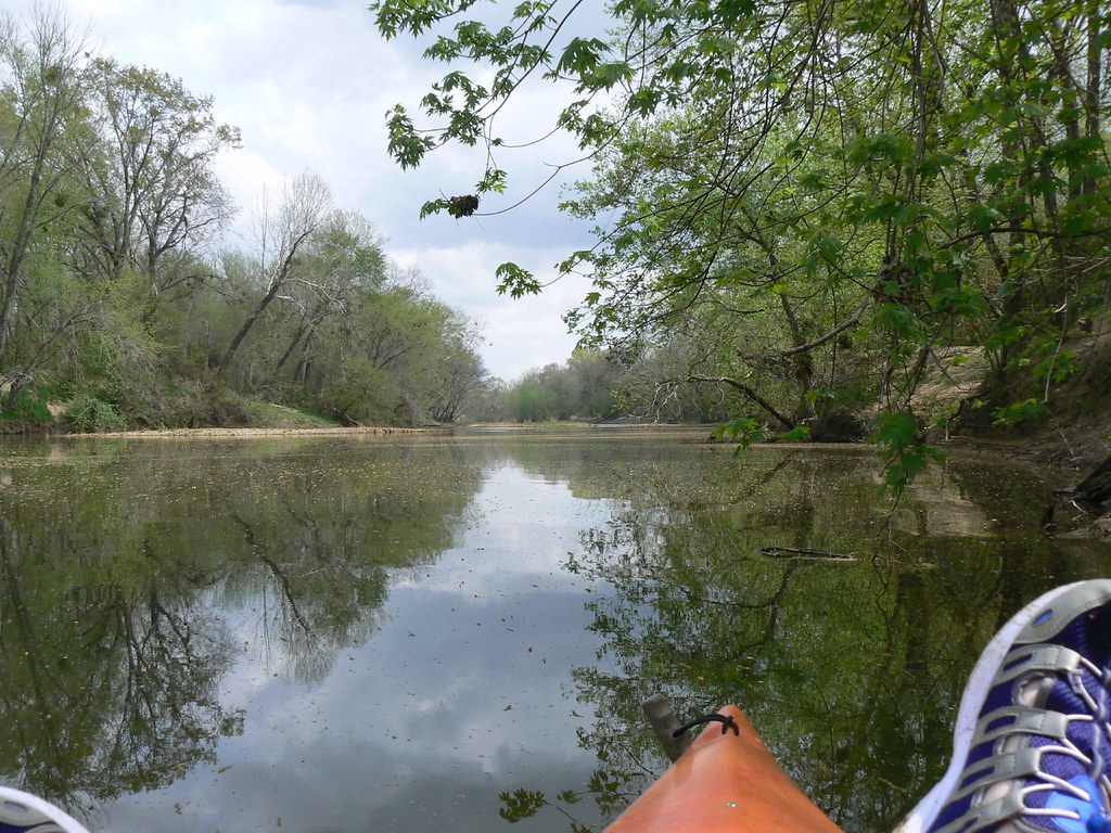
The Kiamichi River, a tributary of the Red River of the South, rises on Pine Mountain in the Ouachita Mountains near the Arkansas border and flows approximately 177 miles to its confluence with the Red River at Hugo, Oklahoma.
Fishing, hunting, boating, and kayaking are popular activities along the river, with the upper reaches of the river near Big Cedar defined as a “Class II-III rapid” by American Whitewater. Congress created the Upper Kiamichi River Wilderness in 1988, which now encompasses 9,754 acres and is part of the National Wilderness Preservation System, while a portion of the river’s watershed is protected by the Ouachita National Forest.
Lakes
Lake Texoma

Lake Texoma, one of the largest reservoirs in the United States, is formed by Denison Dam on the Red River in Bryan County, Oklahoma, and Grayson County, Texas, at the confluence of the Red and Washita Rivers.
Completed in 1944, the lake is the 12th-largest US Army Corps of Engineers lake and the largest in USACE Tulsa District, attracting around 6 million visitors a year and being the most developed and popular lake within the district. Although the lake is situated in both Oklahoma and Texas, Oklahoma has more of the lake within its boundaries.
Eufaula Lake

Lake Eufaula, also known as Eufaula Lake, is a reservoir located on the Canadian River, near the town of Eufaula in Oklahoma.
The lake covers parts of McIntosh County, Pittsburg, Haskell, and Okmulgee counties, and it is the largest-capacity lake in the state with a volume of 2,099,000 acre-feet, a surface area of 102,000 acres, and 600 miles of shoreline. The lake is fed by the Canadian, North Fork Canadian, and Deep Fork rivers, and it drains an area of 47,522 square miles.
Robert S. Kerr Reservoir
The Robert S. Kerr Reservoir, located within the Cookson Hills on the Arkansas River in eastern Oklahoma, is impounded by Robert S. Kerr Lock and Dam at river mile 336.2, just a few miles below its confluence with the Canadian River.
The lock and dam were constructed by the Corps of Engineers and are part of the McClellan-Kerr Arkansas River Navigation System, which provides for barge navigation on the Arkansas River and some of its tributaries. The project was completed in 1970 at a cost of $94.566 million and also contains a small hydroelectric power plant with four units capable of producing a combined total of 110 megawatts.
Oologah Lake

Lake Oologah is a reservoir in northeastern Oklahoma, formed along the Verdigris River and located near the towns of Oologah, Nowata, and Claremore. The lake has a surface of 29,500 acres of water and 209 miles of shoreline with 11 lake-side parks, and its water storage capacity is rated as 552,210 acre-feet.
The lake serves a variety of purposes, including flood control, water supply, navigation, recreation, and fish and wildlife, and it is also a source of water for the Tulsa Metropolitan Area.
Lake O’ The Cherokees
Lake O’ The Cherokees, also known as Grand Lake, is situated in Northeast Oklahoma in the foothills of the Ozark Mountain Range and is administered by the Grand River Dam Authority.
The lake is a popular entertainment destination in the Green Country region, with shows, resorts, and a twin-deck paddle-wheel riverboat called the Cherokee Queen, which has been in operation since the 1940s. Grand Lake is consistently ranked among the top bass fishing lakes in the United States and attracts sailboaters from across the country due to its predictable winds, in addition to a wide variety of other sport and non-sport fishing.
Hugo Lake
Hugo Lake is a manmade lake located 7 miles east of Hugo in Choctaw County, Oklahoma, formed by Hugo Lake Dam on the Kiamichi River 18 miles upstream from the Red River.
The lake features approximately 110 miles of shoreline and covers over 13,250 acres, with a normal storage capacity of 157,600 acre-feet. Its primary functions are to provide flood control, water storage, and recreational opportunities, and it is capable of storing up to 966,700 acre-feet of flood waters at flood stage.
Broken Bow Lake
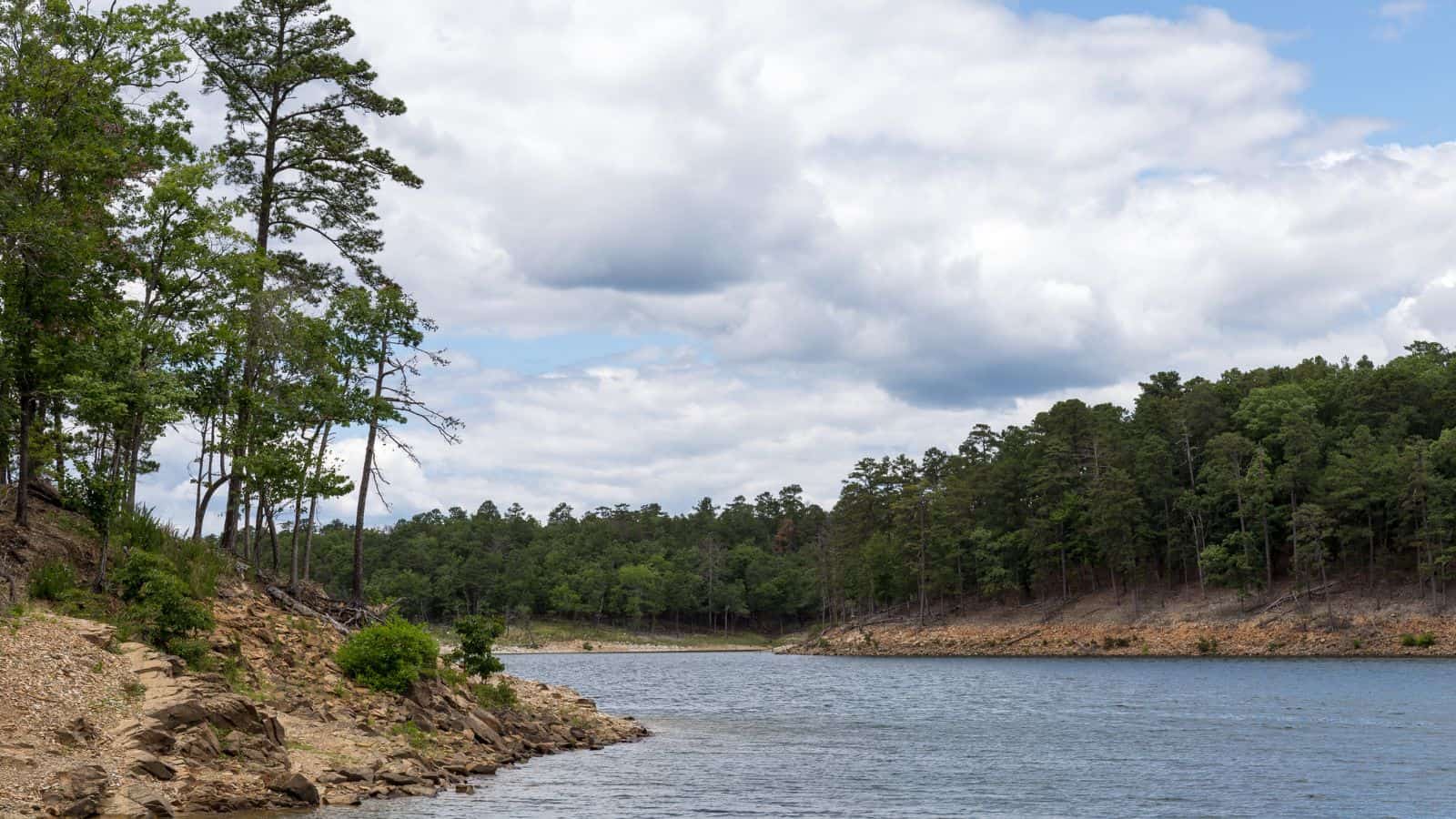
Broken Bow Lake, located on Mountain Fork River and 9 miles northeast of the town of Broken Bow in McCurtain County, is one of the largest freshwater lakes within the state of Oklahoma and a popular tourist destination for locals and visitors from neighboring Texas and Arkansas.
The lake stretches 22 miles back into the Ouachita Mountain country, offering unusual beauty and scenic appeal for nature enthusiasts, with densely forested mountain terrain and many species of birds native to the area for birdwatchers to enjoy.
Optima Lake
Optima Lake, located just north of Hardesty and east of Guymon in the Oklahoma Panhandle, was built to be a reservoir in Texas County, Oklahoma, with the earthen Optima Lake Dam completed in 1978 by the United States Army Corps of Engineers.
Although designed to contain a maximum of 618,500 acre-feet of water, the lake never reached more than five percent of capacity and remains effectively empty due to rapid declines in streamflow related to large-scale pumping from the Ogallala Aquifer. As a result, all public use areas around the lake are land access points only, and visitors should be aware that the lake’s level is very low and often dry.
Canton Lake
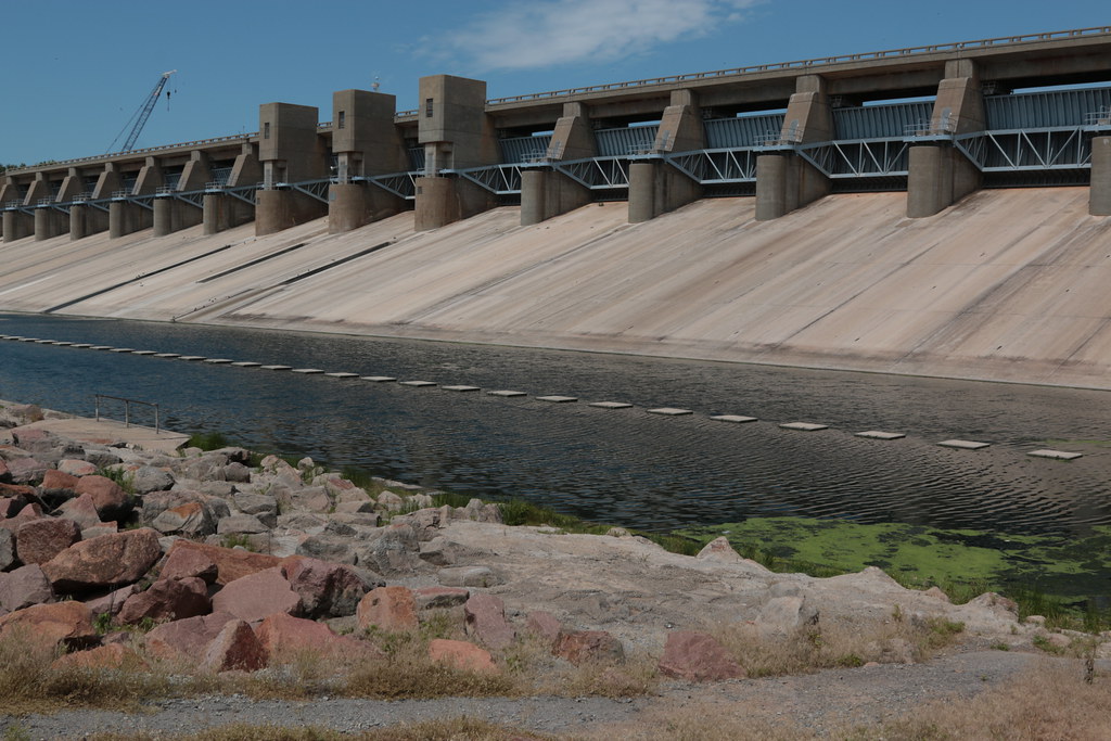
Canton Lake is located in Blaine and Dewey Counties in Oklahoma, near Longdale and Canton, and is primarily fed by the North Canadian River. The lake serves as a municipal water supply reservoir for Oklahoma City, which pays to have water released from the lake for water-supply purposes and is about an hour away from Enid. Despite its primary function as a water supply, Canton Lake is also a popular recreational destination for fishing, boating, and camping.
Keystone Lake

Keystone Lake is a reservoir in northeastern Oklahoma on the Arkansas and Cimarron rivers, located upstream about 23 miles from Tulsa. The lake was created in 1968 when the Keystone Dam was completed, with primary purposes of flood control, hydroelectric power generation, wildlife management, and recreation.
Keystone Lake is about 23,600 acres in area and was designed to contain 505,381 acre-feet of water, with a shoreline extending for 330 miles, and features two Oklahoma state parks, Keystone State Park and Walnut Creek State Park, as well as a Yogi Bear’s Jellystone Park Camp-Resort.
Kaw Lake

Kaw Lake is a reservoir completed in 1976 in the northern reaches of Oklahoma, near Kaw City, which is located on a hill overlooking the lake, and approximately 8 miles east of Ponca City.
The lake covers approximately 17,040 acres and is the seventh-largest lake in Oklahoma by surface area, with a capacity of 428,600 acre-feet of water at normal levels, making it the ninth-largest lake in capacity in Oklahoma. Kaw Dam is 9,466 feet long and 121 feet above the stream bed, and the top of the flood control pool is 1,044.5 feet, while the normal operating level is 1,010 feet.
Tenkiller Ferry Lake
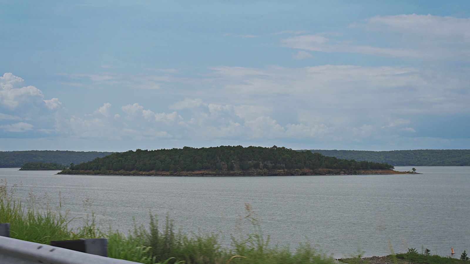
Tenkiller Ferry Lake, also known as “Lake Tenkiller,” is a reservoir in eastern Oklahoma formed by the damming of the Illinois River. The earth-fill dam was constructed between 1947 and 1952 by the United States Army Corps of Engineers for purposes of flood control, hydroelectric power generation, water supply, and recreation, and went into full operation in 1953.
The lake and dam were named for the Tenkiller family, prominent Cherokees who owned the land and ferry that were bought for the project, and it is the sixth-largest lake in Oklahoma based on water capacity.
Lake Thunderbird
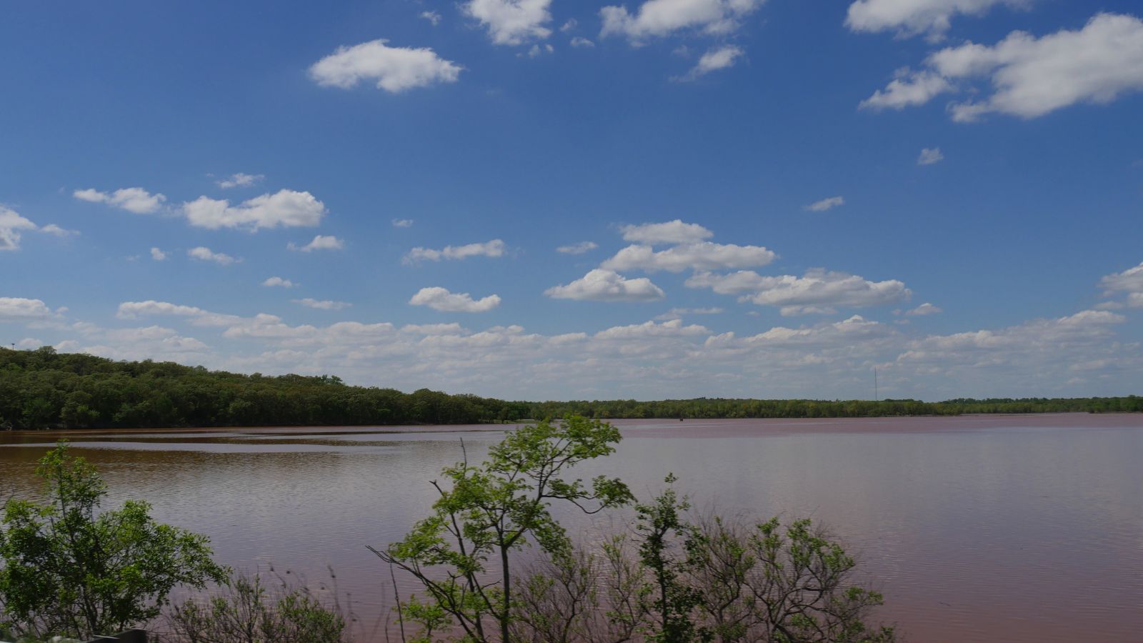
Lake Thunderbird is a reservoir located in Norman, Oklahoma, constructed between 1962 and 1965 to provide municipal water to nearby communities. The lake is formed by an earthfill embankment dam 7,300 feet long and up to 144 feet high on the Little River.
In addition to being a source of drinking water, it is also used for numerous recreational activities. The lake is named after the Native American legend of the Thunderbird, a supernatural bird of power and strength, although it is also commonly referred to by locals as “Lake Dirtybird” due to its murky water.
Lake Ellsworth
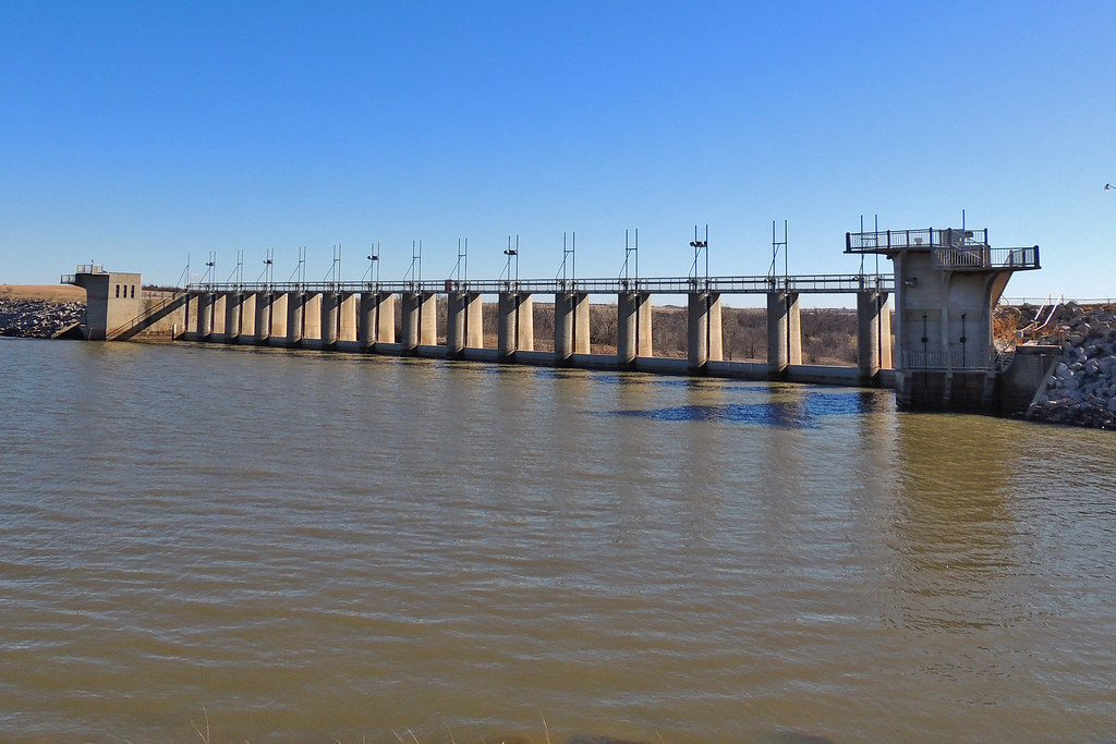
Lake Ellsworth is a lake in Caddo and Comanche counties in Oklahoma, primarily built in 1962 to serve as a water supply source for Lawton and the surrounding area.
The lake has a stream source from East Cache Creek, 53 miles of shoreline, and encompasses 5,600 acres, with several species of fish living in the lake, including channel catfish, crappie, flathead catfish, largemouth bass, saugeye, sunfish, walleye, and white bass. Recreational activities allowed include fishing, wakeboarding, water skiing, and jet skiing, with fishing and camping facilities maintained by the City of Lawton.
Waurika Lake
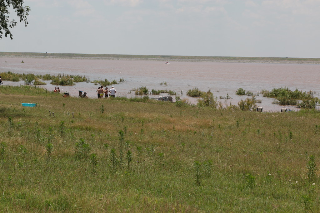
Waurika Lake is a reservoir located in southwestern Oklahoma, near Waurika, primarily in Jefferson County but with small parts in Stephens and Cotton Counties. The lake’s primary purposes are to provide flood control, irrigation, water supply, water quality, fish and wildlife, recreation, and other conservation needs of the public, supplying water for the cities of Lawton, Duncan, Comanche, Temple, and Waurika.
However, the continued operation of the lake water pumping system has been jeopardized by a buildup of silt near the water intake, and extremely hot summers from 2011-2013 caused excessive evaporation of lake water and unusually high consumption by communities that use the water, with pumping estimated to have to cease in April 2015 unless corrective actions could be taken soon, although an extremely rainy storm season in May of that year raised the lake levels to 90.36% capacity.

