Amid the historic landmarks and rolling landscapes of the Keystone State, a hidden narrative unfolds – a story written not just in the pages of history books but also in the winding courses of its rivers and the serene expanses of its lakes. Pennsylvania, celebrated for its revolutionary heritage and diverse culture, cradles within its embrace a treasure beyond its colonial architecture – a network of waterways that mirror its legacy of innovation and transformation.
Like whispered conversations in its bustling cities, Pennsylvania’s rivers and lakes carry tales of exploration, industry, and the ever-evolving connection between its people and the environment. In this article, we embark on a journey that traces the meandering paths of Pennsylvania’s rivers and reflects upon the stillness of its lakes.
Join us as we unveil the significance of these aqueous chapters, uncovering their influence on the state’s identity, culture, and prosperity, and revealing the profound impact that water has etched onto the very heart of the Keystone State.
Printable Pennsylvania Lakes and Rivers Map
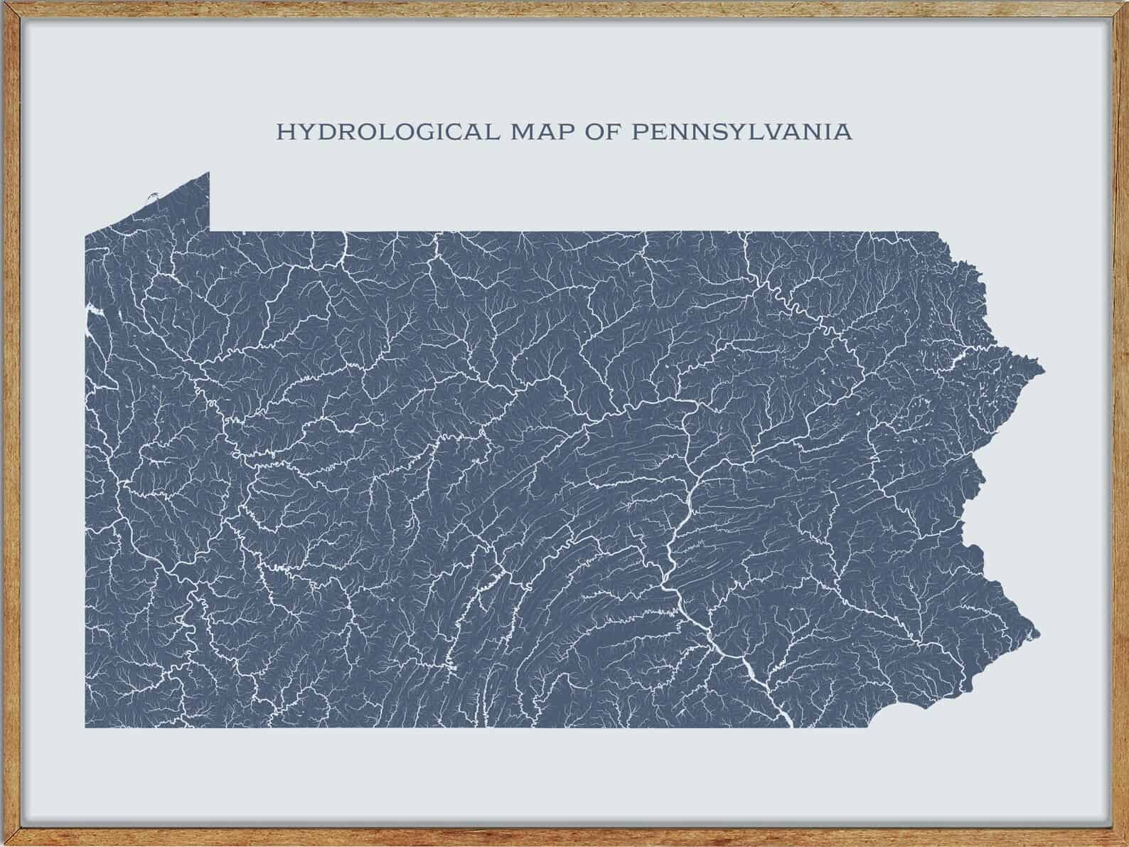
Rivers
Allegheny River
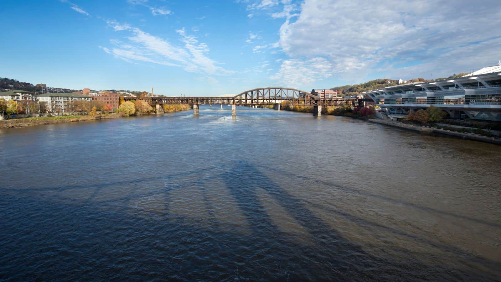
The Allegheny River is a 325-mile-long headwater stream of the Ohio River that runs from its headwaters just below the middle of Pennsylvania’s northern border, northwesterly into New York, then in a zigzag southwesterly across the border and through Western Pennsylvania to join the Monongahela River at the Forks of the Ohio at Point State Park in Downtown Pittsburgh, Pennsylvania.
The river has been made navigable upstream from Pittsburgh to East Brady by a series of locks and dams that were constructed during the early 20th century, and a 24-mile-long portion of the upper river in Warren and McKean counties of Pennsylvania and Cattaraugus County in New York forms the Allegheny Reservoir, created by the erection of the Kinzua Dam in 1965 for flood control.
The name of the river is derived from one of a number of Delaware/Unami phrases that are homophones of the English name, with varying translations.
Monongahela River

The Monongahela River, sometimes referred to locally as the Mon, is a 130-mile-long river on the Allegheny Plateau in north-central West Virginia and Southwestern Pennsylvania.
The river flows from the confluence of its west and east forks in north-central West Virginia northeasterly into southwestern Pennsylvania, then northerly to Pittsburgh and its confluence with the Allegheny River to form the Ohio River. The river includes a series of locks and dams that make it navigable, and it is an important transportation route for coal and other goods.
Schuylkill River
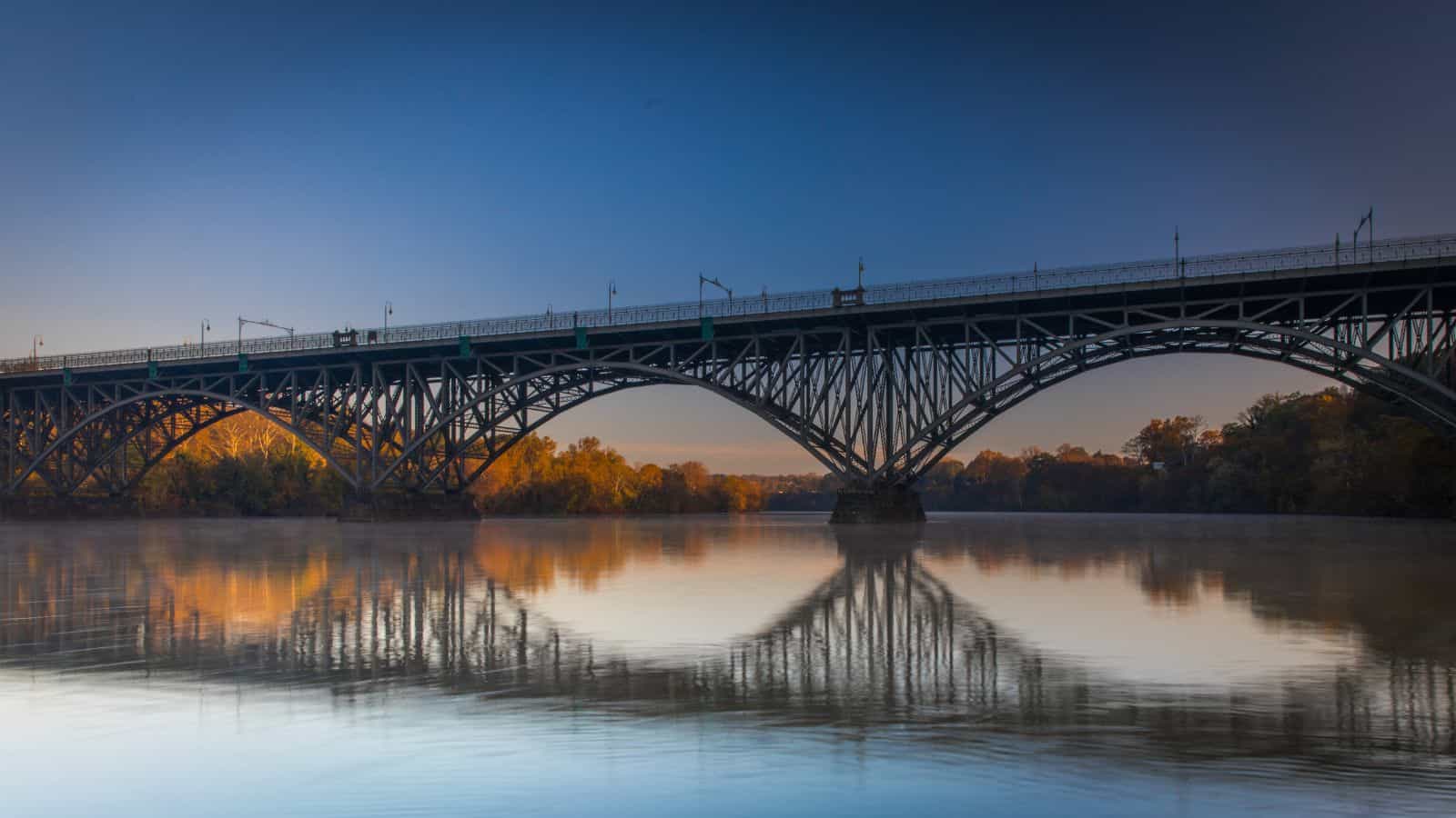
The Schuylkill River is a river running northwest to southeast in eastern Pennsylvania, flowing for 135 miles from Pottsville to Philadelphia, where it joins the Delaware River as one of its largest tributaries.
The river’s watershed of about 2,000 sq mi lies entirely within the state of Pennsylvania, and several of its tributaries drain major parts of Pennsylvania’s Coal Region. The river was improved by navigations into the Schuylkill Canal, and millions of tons of anthracite coal from Pennsylvania’s Coal Region flowed by waterway and rail into Philadelphia to feed the iron and steel industry.
Clarion River
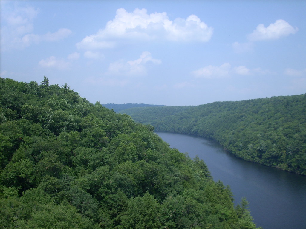
The Clarion River, a tributary of the Allegheny River, is approximately 110 mi long and flows through narrow serpentine valleys and hardwood forests in west central Pennsylvania.
The river is formed at Johnsonburg in central Elk County by the confluence of its East and West Branches, and it flows generally west-southwest across western Pennsylvania in a tight meandering course past Ridgway and Clarion before joining the Allegheny from the east in western Clarion County.
The Clarion River is a designated part of the National Wild and Scenic River program, offering opportunities for outdoor activities such as fishing, boating, and camping.
Conemaugh River

The Conemaugh River is a 70-mile-long tributary of the Kiskiminetas River in Westmoreland, Indiana, and Cambria counties in Pennsylvania, meaning “Otter Creek” in the Unami-Lenape language.
The river is formed at Johnstown by the confluence of the Little Conemaugh and Stonycreek rivers, and it flows generally west-northwest in a winding course through the mountains along the northern edge of Laurel Hill and Chestnut Ridge before joining Loyalhanna Creek at Saltsburg to form the Kiskiminetas River.
The Conemaugh River is known for its history, including the Johnstown Flood of 1889, and offers recreational opportunities such as fishing, boating, and hiking.
Juniata River
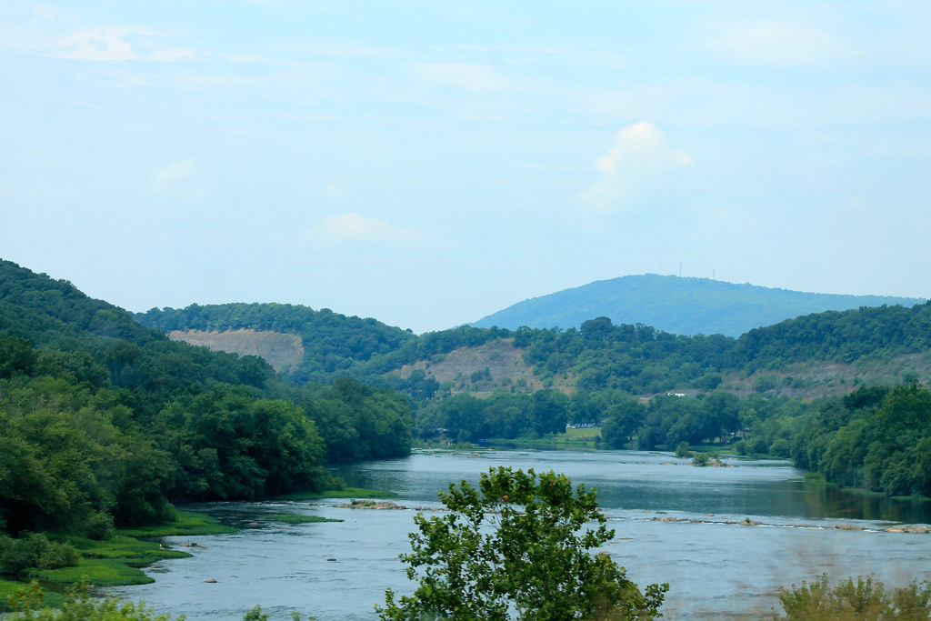
The Juniata River is a tributary of the Susquehanna River in central Pennsylvania, approximately 104 miles long, with a broad and shallow course passing through several mountain ridges and steeply lined water gaps.
The river formed an early 18th-century frontier region in Pennsylvania and was the site of French-allied Native American attacks against English colonial settlements during the French and Indian War.
The watershed of the river encompasses an area of approximately 3,400 square miles, approximately one-eighth of the drainage area of the Susquehanna, and it is the second largest tributary of the Susquehanna after the West Branch Susquehanna.
Lehigh River
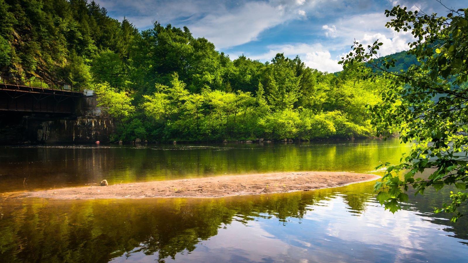
The Lehigh River is a 109-mile-long tributary of the Delaware River in eastern Pennsylvania, flowing in a generally southward pattern from the Pocono Mountains through Allentown and much of the Lehigh Valley before joining the Delaware River in Easton.
Part of the Lehigh River and a number of its tributaries are designated Pennsylvania Scenic Rivers, and both Lehigh County and Lehigh Valley are named for the river. However, the river has faced environmental challenges, ranking second nationally in the volume of toxic substances released into it in 2020, according to an environmental report from a Pennsylvania nonprofit research center.
Beaver River
The Beaver River is a 21-mile-long tributary of the Ohio River in Western Pennsylvania that flows through a historically important coal-producing region north of Pittsburgh.
The river is formed by the confluence of the Mahoning and Shenango rivers in the Mahoningtown neighborhood of New Castle, and it flows generally south, past West Pittsburg and Homewood, receiving Connoquenessing Creek west of Ellwood City before joining the Ohio at Bridgewater and Rochester.
The river is roughly parallel to the border with Ohio, with both Interstate 376 and Pennsylvania Route 18 running parallel to the river itself, and in the lower reaches near the Ohio River, the Beaver cuts through a gorge of underlying sandstone.
Kiskiminetas River

The Kiskiminetas River, commonly referred to as the Kiski by locals, is a 27-mile-long tributary of the Allegheny River in Western Pennsylvania. The river is formed at Saltsburg by the confluence of the Conemaugh River and Loyalhanna Creek, flowing northwest in a meandering course past Avonmore, Apollo, Vandergrift, Hyde Park, and Leechburg before joining the Allegheny River near Freeport at Schenley.
The Kiski-Conemaugh watershed includes much of the historic coal-producing region of Western Pennsylvania, but the water quality is considered degraded by numerous abandoned mine drainages in its upper reaches and tributaries, leading to ongoing efforts to improve the water quality of the river.
Youghiogheny River
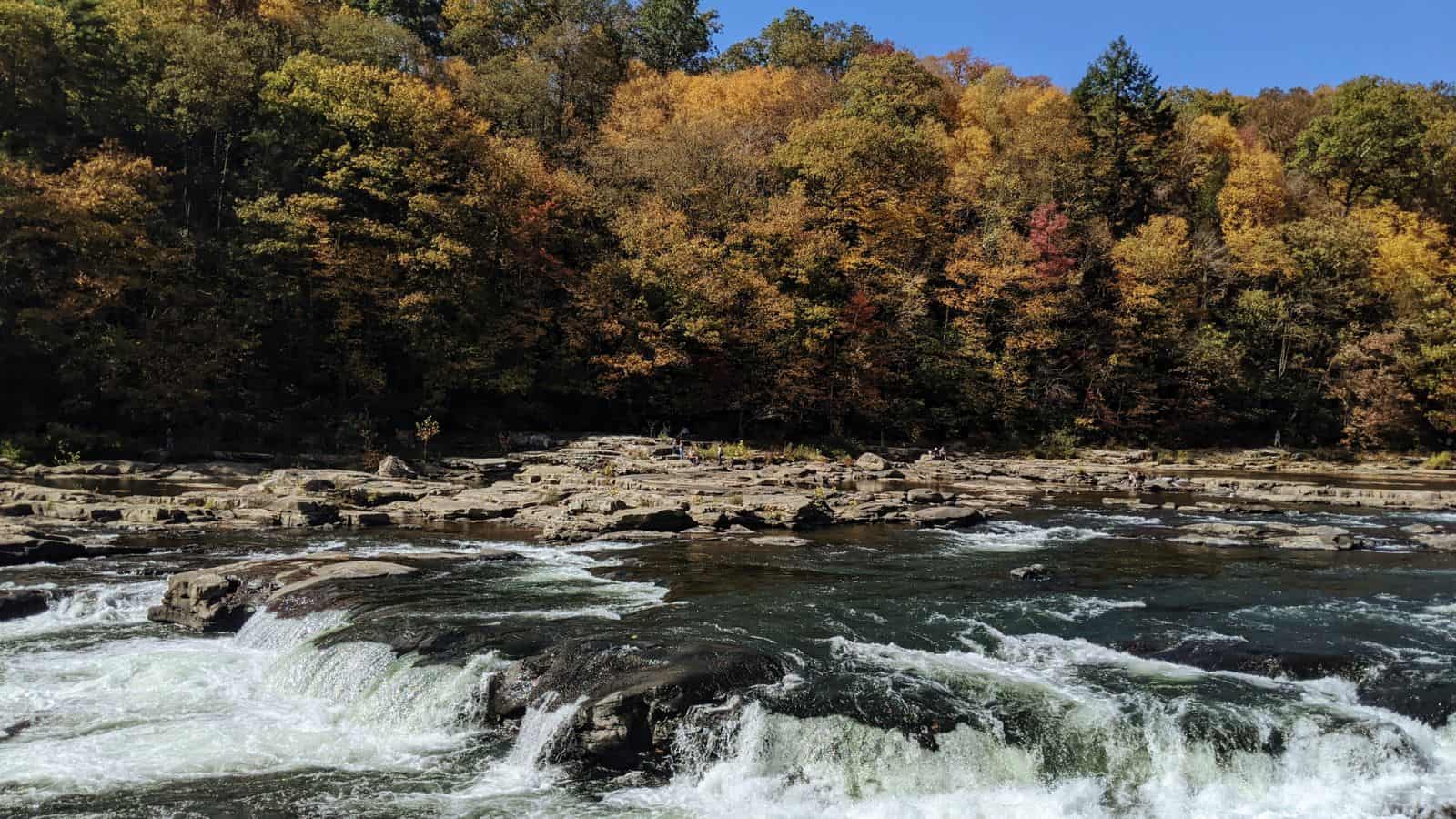
The Youghiogheny River, also known as the Yough for short, is a 134-mile-long tributary of the Monongahela River in West Virginia, Maryland, and Pennsylvania. The river drains an area on the west side of the Allegheny Mountains northward into Pennsylvania, providing a small watershed in extreme western Maryland into the tributaries of the Mississippi River.
Youghiogheny is a Lenape word meaning “a stream flowing in a contrary direction”. The river is known for its whitewater rapids, making it a popular destination for outdoor enthusiasts who enjoy kayaking, canoeing, and rafting.
Conemaugh River

The Conemaugh River is a 70-mile-long tributary of the Kiskiminetas River in Pennsylvania, formed at Johnstown by the confluence of the Little Conemaugh and Stonycreek Rivers. It flows generally west-northwest, in a winding course through the mountains along the northern edge of Laurel Hill and Chestnut Ridge, and is joined by Blacklick Creek northwest of Blairsville.
At Saltsburg, the Conemaugh River is joined from the south by Loyalhanna Creek to form the Kiskiminetas River, and it forms part of the boundary between Westmoreland and Indiana counties along much of its lower course. The name Conemaugh means ‘Otter Creek’, originating from the Unami-Lenape language word ‘kwənəmuxkw’ which means ‘otter’.
Lackawanna River
The Lackawanna River is a 42-mile-long tributary of the Susquehanna River in Northeastern Pennsylvania, flowing through a region of the northern Pocono Mountains that was once a center of anthracite coal mining in the United States.
The river rises in two branches, the West and East branches, along the boundary between Susquehanna and Wayne counties, flowing closely parallel to each other before joining at the Stillwater Lake reservoir in Union Dale. The lower reaches of the river flow through the urban areas of Scranton, which grew around its banks in the 19th century as an industrial center, and its name comes from a Lenni Lenape word meaning “stream that forks”.
Lackawaxen River
The Lackawaxen River is a 31.3-mile-long tributary of the Delaware River in northeastern Pennsylvania, flowing through a largely rural area in the northern Pocono Mountains and draining an area of approximately 598 square miles.
The river’s source is in the borough of Prompton at the confluence of the West Branch and Van Auken Creek, and it flows past Honesdale and Hawley, where it is joined by Wallenpaupack Creek and Middle Creek. The river is a popular destination for canoeing and recreational fly fishing for trout, and it was reportedly where the American author Zane Grey first learned to fly fish. Lackawaxen is Lenape for “swift waters”.
Lakes
Lake Wallenpaupack

Lake Wallenpaupack is a reservoir in Northeastern Pennsylvania, comprising 52 miles of shoreline, with a length of 13 miles and a maximum depth of 60 feet, and has a surface area in excess of 5,700 acres. It was created in 1926 by the PPL Corporation for hydroelectric purposes as well as flood control and is the second-largest lake contained entirely in Pennsylvania after Raystown Lake.
Lake Wallenpaupack is best known as one of several major recreational destinations in the Pocono Mountains, located near the Borough of Hawley, and forms part of the boundary between Pike and Wayne counties.
Raystown Lake
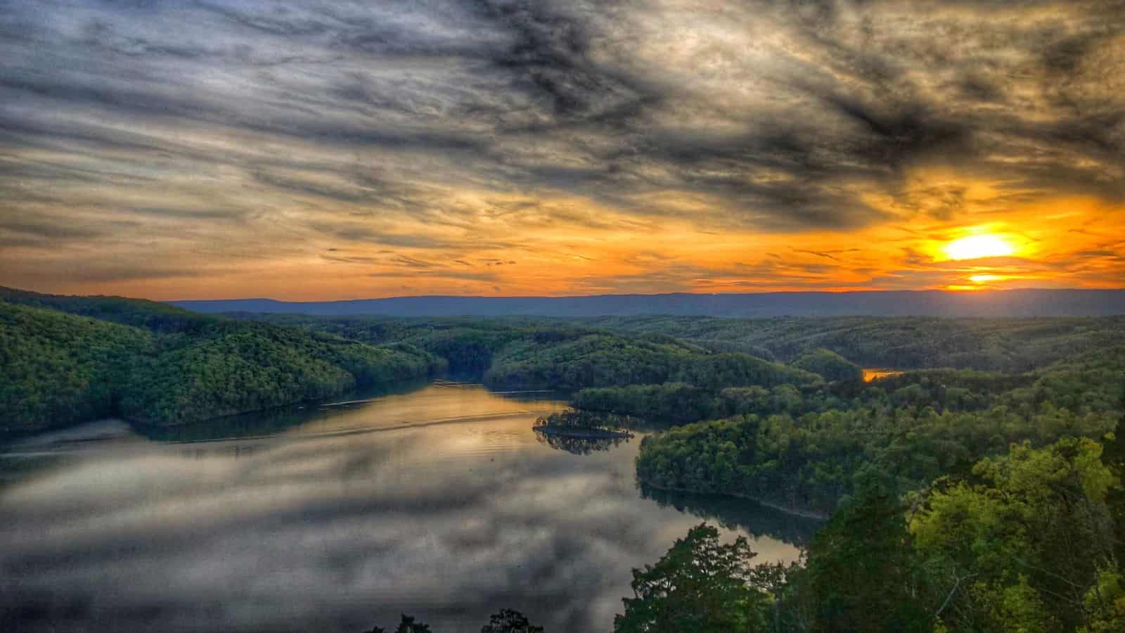
Raystown Lake is a reservoir in Huntingdon County, Pennsylvania, and is the largest lake that is entirely within the state. Originally built by the Simpson family of Huntingdon as a hydroelectric project, the current 8,300-acre Raystown Lake was completed in 1973 by the Army Corps of Engineers, primarily to control floods, provide electricity, and support recreational activities.
The lake offers many recreational activities, including boating, swimming, mountain biking, scuba diving, fishing, and camping, and it has a fishery including largemouth bass, striped bass, smallmouth bass, muskellunge, walleye, pickerel, perch, calico bass, lake trout, rainbow trout, brook trout, brown trout, bluegill, catfish, carp, white bass, rock bass, salmon, and shad.
Lake Nockamixon
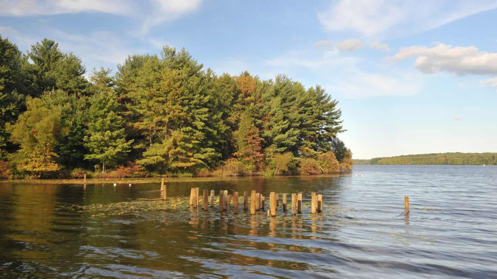
Lake Nockamixon is the largest lake in Bucks County, southeastern Pennsylvania, formed by a dam on Tohickon Creek and is the centerpiece of Nockamixon State Park. Boating is popular on the lake, with the park maintaining a marina and a boat rental as well as three other boat-launch areas.
Fishing from boats and the bank is also popular, with common species including striped bass, walleye, pickerel, carp, largemouth and smallmouth bass, muskellunge, and catfish. The lake is surrounded by horse trails which provide for hiking and offers cabins and nearby youth hostels for visitors to stay.
Pymatuning Reservoir
Pymatuning Reservoir is a man-made lake located in Crawford County, Pennsylvania, and Ashtabula County, Ohio, which was built on land that was once a very large swamp.
The reservoir is incorporated into two state parks: Pymatuning State Park in Pennsylvania and Pymatuning State Park in Ohio, with much of the lake located within these parks. The lake is a popular destination for boating, fishing, camping, and hiking, and is home to a variety of fish species including walleye, muskellunge, and crappie.
Allegheny Reservoir
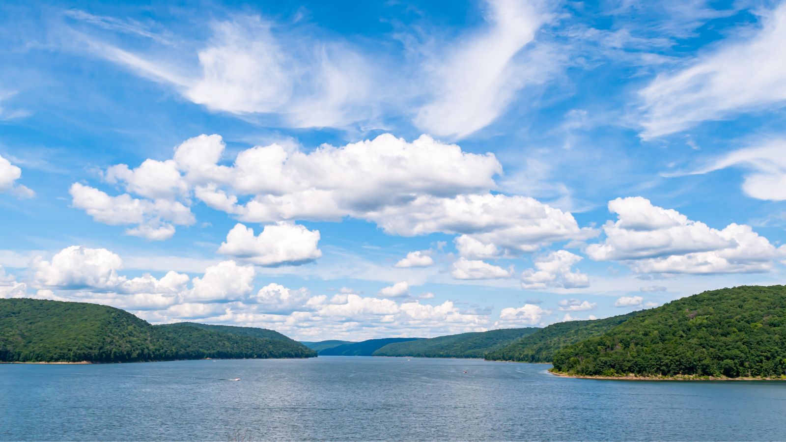
The Allegheny Reservoir, also known as Kinzua Lake and unofficially as Lake Perfidy, is a reservoir located along the Allegheny River in Pennsylvania and New York. The reservoir was created in 1965 by the construction of the Kinzua Dam along the river, and it offers opportunities for boating, fishing, camping, and hiking.
The name “Lake Perfidy” comes from Peter La Farge’s ballad “As Long as the Grass Shall Grow,” which alleged that the reservoir’s existence violates the 1794 agreement between Seneca chief Cornplanter and George Washington.

