Amid the rolling hills and the echoes of country tunes that define the Volunteer State, a different kind of melody weaves through the landscape – a narrative sung not just in its historic sites but in the sinuous flow of its rivers and the serene expanses of its lakes.
Tennessee, celebrated for its musical heritage and cultural richness, cradles within its embrace a hidden treasure – a network of waterways that mirror its legacy of creativity and community. Like whispered lyrics carried on a breeze, Tennessee’s rivers and lakes carry stories of exploration, trade, and the timeless rhythm of life along their shores.
In this article, we embark on a journey that follows the currents of Tennessee’s rivers and immerses in the tranquil surfaces of its lakes. Join us as we unveil the significance of these aqueous verses, uncovering their role in shaping the state’s identity, culture, and prosperity, and revealing how water has woven itself into the very soul of the Volunteer State’s compelling narrative.
Printable Tennessee Lakes and Rivers Map
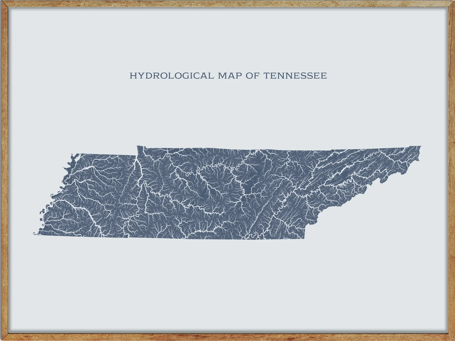
Rivers
Duck River

The Duck River is the longest river located entirely within the state of Tennessee, stretching 284 miles. It is home to over 50 species of freshwater mussels and 151 species of fish, making it the most biologically diverse river in North America.
The river drains a significant portion of Middle Tennessee and flows through major towns such as Shelbyville, Columbia, and Centerville, with a major tributary, the Little Duck River, meeting at Old Stone Fort State Park. The Duck River is impounded by Normandy Dam for flood control and recreation, with Shelbyville protected from potential flooding by levees and floodgates.
Holston River
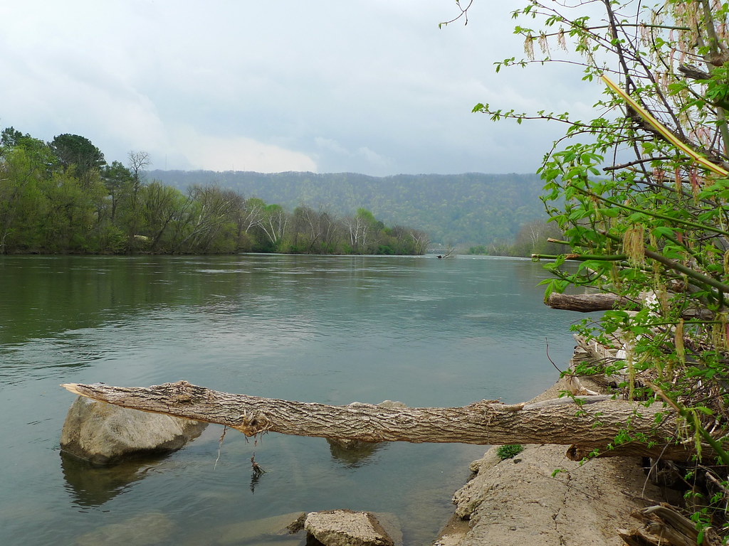
The Holston River is a major river system that flows 136 miles from Kingsport to Knoxville, Tennessee, comprising the North Fork, Middle Fork, and South Fork.
The Holston River drains much of northeastern Tennessee, southwestern Virginia, and northwestern North Carolina, with its confluence with the French Broad River at Knoxville marking the beginning of the Tennessee River. The main stem of the Holston is impounded by the Tennessee Valley Authority’s Cherokee Dam near Jefferson City, with five other dams on the river’s headwater streams managed by TVA.
Cumberland River

The Cumberland River is a major waterway of the Southern United States, stretching 688 miles and draining almost 18,000 square miles of southern Kentucky and north-central Tennessee.
The river flows west from its source in the Appalachian Mountains to its confluence with the Ohio River near Paducah, Kentucky, and the mouth of the Tennessee River, with major tributaries including the Obey, Caney Fork, Stones, and Red Rivers. The river system has been extensively altered for flood control, with major dams impounding areas of both the main stem and many of its important tributaries, and cities such as Nashville and Clarksville located along the river.
Tennessee River
The Tennessee River is the largest tributary of the Ohio River, stretching approximately 652 miles and located in the southeastern United States in the Tennessee Valley. The river was once known as the Cherokee River, as the Cherokee people had their homelands along its banks, and is named after the Cherokee town of Tanasi located on the Tennessee side of the Appalachian Mountains.
Its tributary, the Little Tennessee River, flows into it from Western North Carolina and northeastern Georgia, where the river was also bordered by numerous Cherokee towns.
Hatchie River
The Hatchie River is a 238-mile-long river in northern Mississippi and southwestern Tennessee and is of considerable geographic, cultural, and historic significance. It is the only major river of West Tennessee that has never been impounded, channelized, or otherwise modified by human activity to any major degree, with its environs indicative of what much of West Tennessee must have resembled prior to the time of European settlement in the early 19th century.
The Hatchie rises in the northern part of Union County, Mississippi, and travels through Tippah and Alcorn counties before crossing into Hardeman County, Tennessee, near the community of Pocahontas, and flowing north in a serpentine fashion towards Bolivar, where it was supposedly the head of navigation for small, shallow-draught steamboats in the 19th century.
Sequatchie River
The Sequatchie River is a 116-mile-long waterway that drains the Sequatchie Valley in the Cumberland Plateau in Tennessee, with its waters originating from several springs at or near Devilstep Hollow Cave, including the spring, Head of the Sequatchie.
The river follows the general trend of the Sequatchie Valley, flowing southwest for 182.12 miles and empties into the Tennessee River downstream from Chattanooga near the Tennessee-Alabama state line. Dye traces establish the origin of their water as originating from Grassy Cove, the pastoral limestone sinkhole located to the northeast.
Elk River
The Elk River is a 195-mile-long tributary of the Tennessee River in the U.S. states of Tennessee and Alabama, rising in Grundy County, Tennessee, in Burroughs Cove near the community of Elkhead. The river flows southwestward, turns to flow more generally westward, and is bridged by both U.S. Route 41 and Interstate 24 before forming the Coffee County – Franklin County line.
It is first impounded by Elk River Dam, forming Woods Reservoir, which was built primarily to provide a large source of cooling water for the U.S. Air Force’s Arnold Engineering Development Center and is also used as a wildlife refuge, with the reservoir bridged by State Route 127.
Obion River
The Obion River system is the primary surface water drainage system of northwestern Tennessee, comprising four major forks – the North Fork, Middle Fork, South Fork, and Rutherford Fork – which exist as separate streams for the greater parts of their lengths before converging a few miles above the mouth of the Obion’s discharge into the Mississippi River.
The Obion River is a popular local swimming hole in West Tennessee, and its Middle Fork is crossed by the CSX railroad bridge northwest of Gleason.
Wolf River

The Wolf River is a 105-mile-long alluvial river in western Tennessee and northern Mississippi, whose confluence with the Mississippi River was the site of various Chickasaw, French, Spanish, and American communities that eventually became Memphis, Tennessee.
The river is estimated to be about 12,000 years old, and in 1997 was designated an American Heritage River by presidential proclamation under a special United States Environmental Protection Agency program.
The Wolf River Conservancy was formed in 1985 in opposition to plans for additional channel dredging, and in 1995 the “Ghost River” section of the Wolf was saved from timber auction by a coordinated effort of the Tennessee Wildlife Resources Agency, local conservation activists, and the Wolf River Conservancy.
The river serves to mitigate flooding and erosion, as a habitat for wildlife, and as a recreational area, as well as supplying clean water to an underground aquifer.
Buffalo River
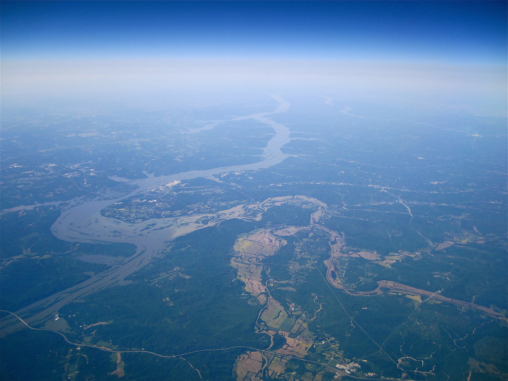
The Buffalo River is the longest unimpounded river in Middle Tennessee, flowing 125 miles through the southern and western portions of the region and named for the Buffalo fish which was abundant when the first European settlers arrived.
It is the largest tributary of the Duck River, with canoeing being popular, especially in its middle section. The river rises in northern Lawrence County, with U.S. Highway 43 crossing both the North and South Forks and the confluence of the North and South forks about a mile west of Highway 43 being the head of the Buffalo.
Clinch River
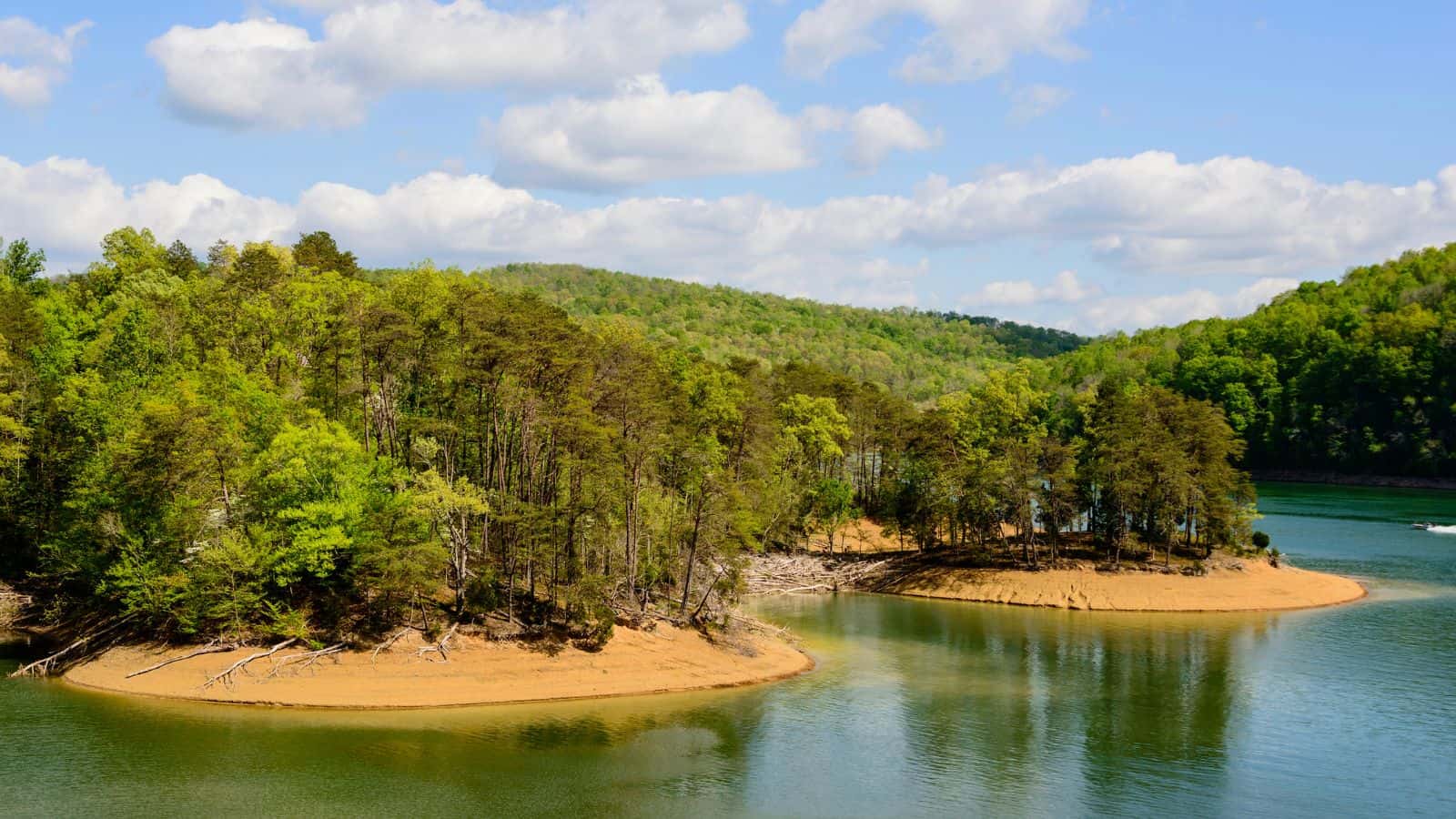
The Clinch River is a 300-mile-long river that flows southwest through the Great Appalachian Valley in the U.S. states of Virginia and Tennessee, gathering various tributaries, including the Powell River, before joining the Tennessee River in Kingston, Tennessee.
The river is dammed twice, by Norris Dam – the first dam built by the Tennessee Valley Authority (TVA) – and by the Melton Hill Dam, which is the only TVA dam with a navigation lock that is not located on the main channel of the Tennessee River. The Powell River is an important tributary of the Clinch River, with the two separated by Powell Mountain, and other tributaries entering the Clinch River below Norris Dam but above Melton Hill Dam include Coal Creek, Hinds Creek, Bull Run Creek, and Beaver Creek, with Poplar Creek entering the river below the Melton Hill Dam.
Lakes
Kentucky Lake
Kentucky Lake is a 160,309-acre navigable reservoir along the Tennessee River in Kentucky and Tennessee, created in 1944 by the Tennessee Valley Authority’s impounding of the Tennessee River via Kentucky Dam for flood control and hydroelectric power.
It is the largest artificial lake by surface area in the United States east of the Mississippi River, with 2,064 miles of shoreline and a flood storage capacity of 4,008,000 acre-feet, more than 2.5 times the next largest lake in the TVA system. Kentucky Lake provides a source of hydroelectric power and is a popular recreational destination in western Kentucky and Tennessee, alluded to by the name of Land Between The Lakes National Recreation Area.
Lake Barkley

Lake Barkley is a 58,000-acre reservoir extending into Tennessee, impounded by the U.S. Army Corps of Engineers in 1966 upon the completion of Barkley Dam, both of which are named for Vice President Alben Barkley, a Kentucky native.
The dam impounds the Cumberland River near Grand Rivers, Kentucky, with a canal connecting Lake Barkley with Kentucky Lake, forming one of the greatest freshwater recreational complexes in the country.
The lake is 134 miles long with a shoreline measuring 1,004 miles and its water level is maintained at different levels throughout the year for flood control purposes, with the summer pool normally reached by May 1 and the winter pool by December 1, and its water surface area varying accordingly from 57,920 acres at summer pool to 45,210 acres at winter pool.
Dale Hollow Lake
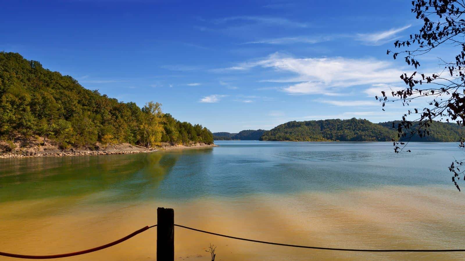
Dale Hollow Reservoir is a major flood control reservoir for the Cumberland River, situated on the Kentucky/Tennessee border, formed by the damming of the Obey River, 7.3 miles above its juncture with the Cumberland River at river mile 380, and covering portions of Clay, Pickett, and Overton Counties in Tennessee, with small arms of the lake also extending northward into the Kentucky counties of Cumberland and Clinton.
The project consists of 27,700 acres of water and 24,842 acres of surrounding land and is the site of Dale Hollow Lake State Park on the north (Kentucky) side. Electricity from the dam is marketed by the Southeastern Power Administration.
Norris Lake
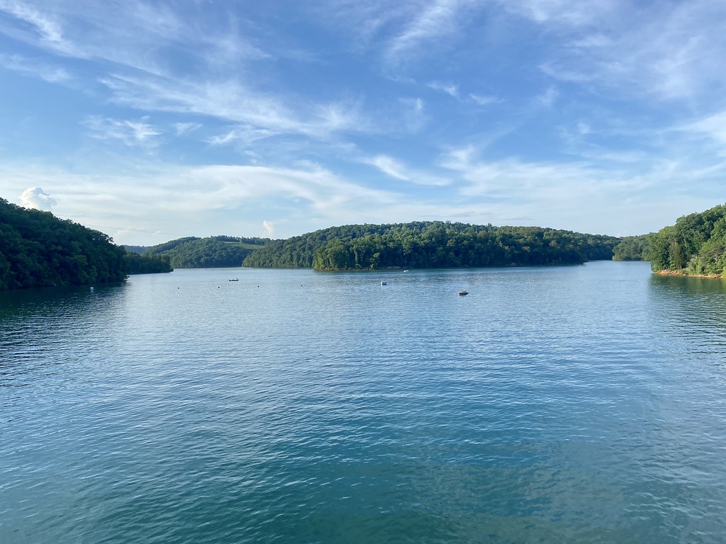
Norris Lake, also known as Norris Reservoir, is a reservoir located in Tennessee, created by the Tennessee Valley Authority (TVA) in 1936 with the construction of Norris Dam at the Cove Creek Site on the Clinch River, for flood control, water storage, and hydroelectric power.
The lake, dam, and town of Norris, Tennessee are named after George W. Norris, a U.S. Senator from Nebraska who wrote the legislation that created the TVA, and Norris Dam and its reservoir were the first major projects undertaken by the TVA.
Center Hill Lake

Center Hill Lake is a reservoir located near Smithville in Middle Tennessee, created by a dam constructed by the U.S. Army Corps of Engineers in 1948 for electricity production and flood control.
The 260 ft high Center Hill Dam is composed of concrete and earth structures, with 8 gates that are 50 ft wide each, and the lake is one of four major flood control reservoirs for the Cumberland, the others being Percy Priest Lake, Dale Hollow Reservoir, and Lake Cumberland.
Pickwick Lake

Pickwick Lake is a reservoir created by Pickwick Landing Dam as part of the Tennessee Valley Authority, stretching from Pickwick Landing Dam to Wilson Dam and located in three different states.
The lake is known for its excellent sportfishing areas, including the Wilson Dam tailwater and the discharge basin at Colbert Fossil Plant, and is home to two state parks: Tennessee’s Pickwick Landing State Park and Mississippi’s J P Coleman State Park. Additionally, Pickwick Lake is the north end of the Tennessee-Tombigbee Waterway, providing a water transportation route to the Gulf of Mexico, and Yellow Creek Cove is a popular destination for boaters, featuring the Yellow Creek waterfall and a rope swing off the top of the waterfall.
Tims Ford Lake

Tims Ford Lake is a Tennessee Valley Authority (TVA) reservoir in southern middle Tennessee, encompassing 10,700 acres and approximately 250 miles of shoreline, with the Tims Ford Dam named after an early ford crossing the Elk River near Winchester.
The lake is home to Tims Ford State Park, six islands accessible for camping and exploring, and was designated a Bill Dance Signature Lake in December 2021, providing funds for above-the-water upgrades such as docks, fishing piers, and signage, as well as other enhancements to fishing in the lake.
J Percy Priest Lake

J. Percy Priest Lake is a reservoir located in the north-central part of Tennessee, formed by J. Percy Priest Dam between miles six and seven of the Stones River, located about 10 miles east of downtown Nashville and named after Congressman Percy Priest.
The lake covers portions of Davidson, Rutherford, and Wilson counties, consisting of 14,200 acres of water at summer pool elevation 490 feet above mean sea level, surrounded by 18,854 acres of public lands, with 10,000 acres devoted to wildlife management. The project was authorized by the U.S. Congress in 1946 under the name “Stewarts Ferry Reservoir” and completed in 1967 by the U.S. Army Corps of Engineers.
Douglas Lake
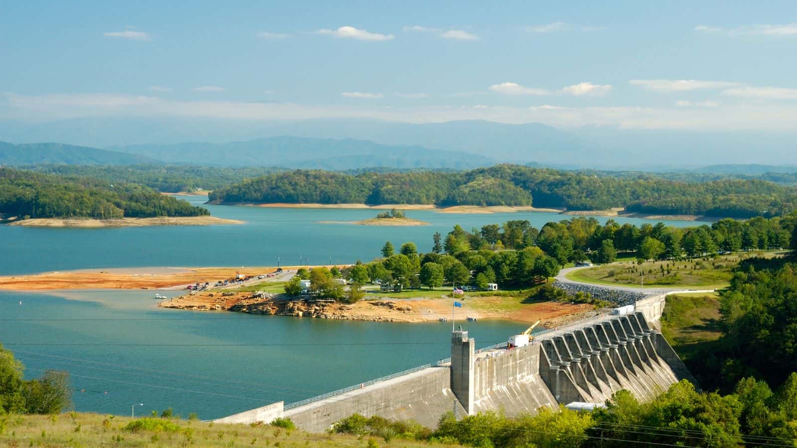
Douglas Lake, also known as Douglas Reservoir, is a Tennessee Valley Authority (TVA) reservoir created by an impoundment of the French Broad River in Eastern Tennessee, located only a few miles from the Pigeon Forge/Gatlinburg area and the Great Smoky Mountains National Park.
The Douglas Dam was built by the TVA between February 2, 1942, and February 19, 1943, to provide hydroelectric power and to control flooding downstream in the Tennessee River Valley, located just over 32 miles upstream from the French Broad River’s confluence with the Holston River in Knoxville. The lake reservoir inundates about a 40-mile stretch of the French Broad River between the Douglas Dam and the Irish Bottoms area near Newport, with small portions of the Nolichucky and Pigeon Rivers also impounded by the lake.
Old Hickory Lake
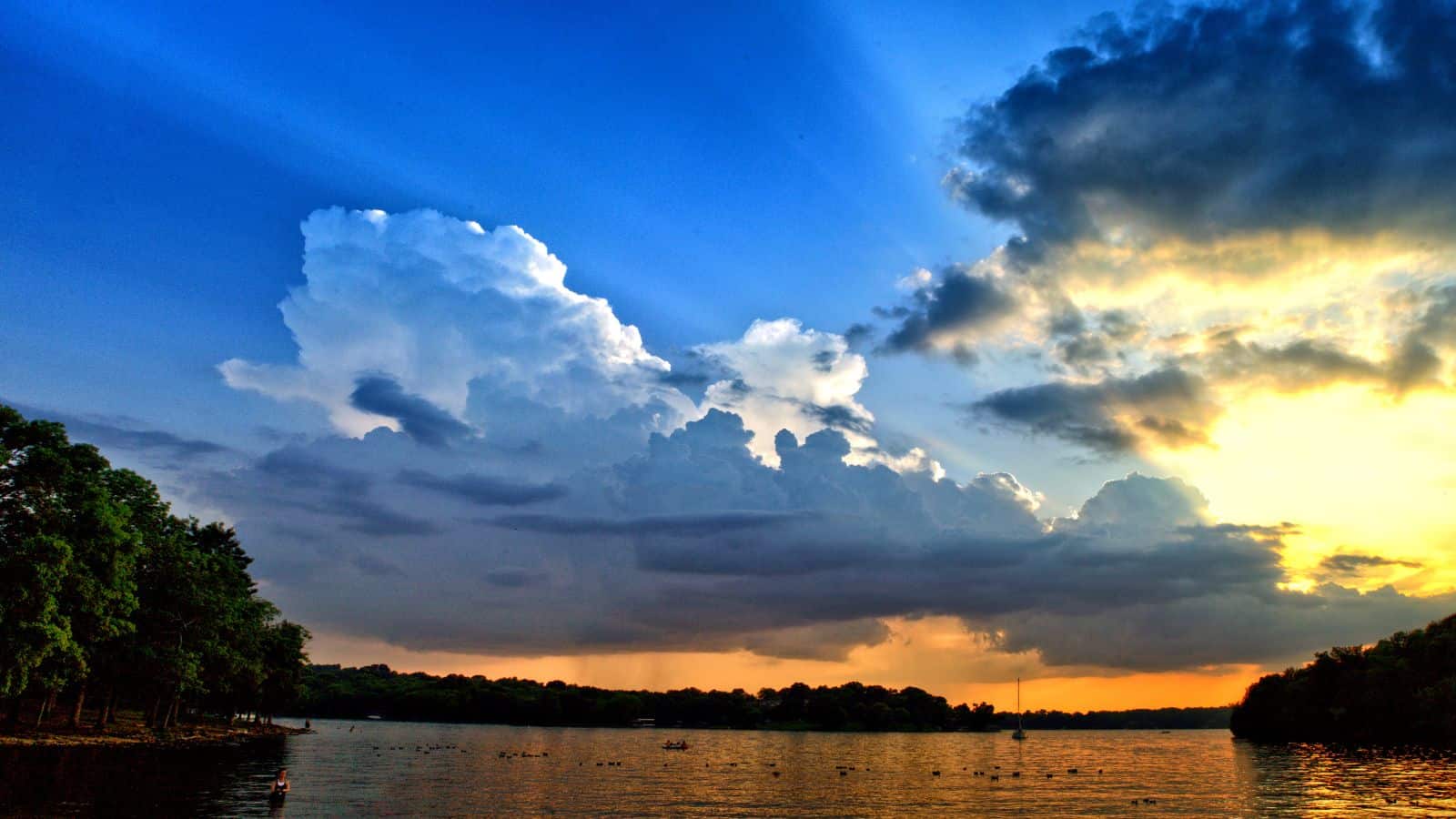
Old Hickory Lake is a reservoir located in north central Tennessee, formed by the Old Hickory Lock and Dam on the Cumberland River at mile 216.2 in Sumner and Davidson counties, approximately 25 miles upstream from Nashville, extending 97.3 miles upstream to Cordell Hull Lock and Dam near Carthage, Tennessee.
The dam and lake are named after President Andrew Jackson (nicknamed “Old Hickory”), who lived in the vicinity at The Hermitage, with the lock, dam, powerhouse, and lake operated and supervised by U.S. Army Corps of Engineers staff under the direction of the District Engineer at Nashville.
The city of Hendersonville is situated on the northern shoreline of the lake, and Old Hickory, a portion of Metropolitan Nashville-Davidson County, is located on the southern side of the lake, just upstream of the lock and dam, with Historic Rock Castle, completed in 1796, located on the lake’s border.
Cherokee Lake
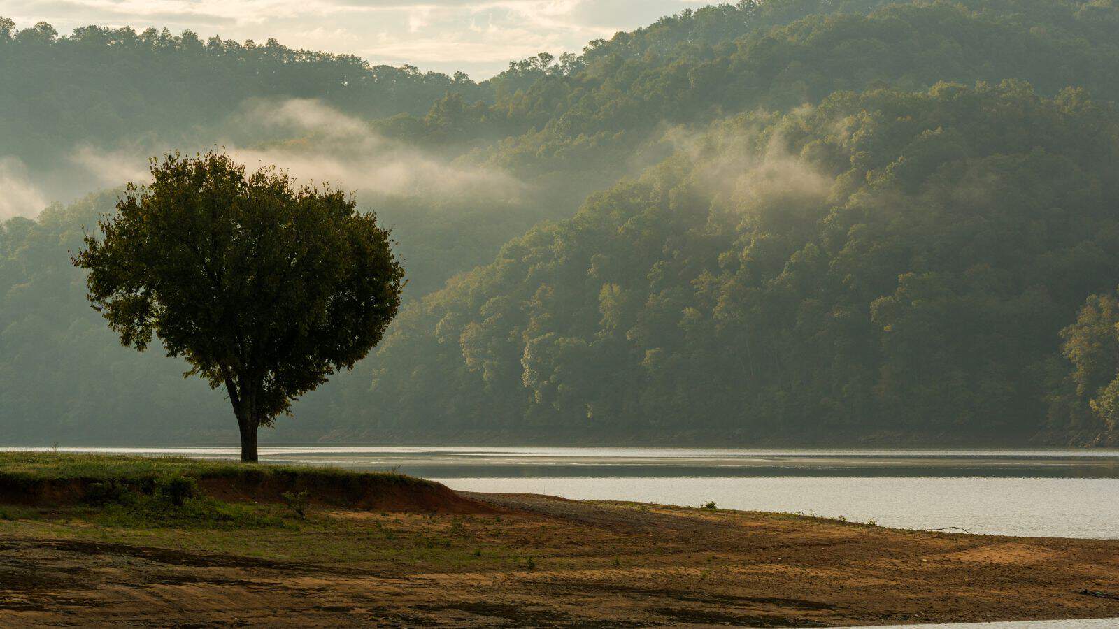
Cherokee Lake, also known as Cherokee Reservoir, is an artificial reservoir in Tennessee formed by the impoundment of the Holston River behind Cherokee Dam. The reservoir covers about 28,780 acres, has a flood-storage capacity of 749,406 acre-feet, and nearly 400 miles of shoreline, with the lake water level fluctuating over a range of about 27 feet in a normal year.
To maintain dissolved oxygen concentrations in the river below the dam at levels that will support aquatic life, perforated hoses suspended above the bottom of Cherokee Reservoir are used to inject oxygen into the reservoir water, and devices resembling large underwater fans located just above the dam are used to push warm oxygenated water downward to the depths where water is released for hydroelectric generation.
Fort Loudoun Lake

Fort Loudoun Lake is a reservoir located in east Tennessee on the upper Tennessee River, extending about 50 miles along the river upstream from Fort Loudoun Dam at Lenoir City to Knoxville, taking its name from the 18th-century British fort built on a nearby site during the French and Indian War and named for John Campbell, the fourth Earl of Loudoun, commander of British forces in North America at the time.
The lake is a popular recreation destination known for bass fishing, boating, and birdwatching, with the tailwater area below the dam an excellent site for viewing a variety of waterbirds, including herons, cormorants, gulls, osprey, and bald eagles.
The reservoir is connected by a short canal to Tellico Reservoir on the nearby Little Tennessee River, with water diverted through the canal to Fort Loudoun for power production and commercial barges accessing Tellico without the need for a lock, carrying about half a million tons of cargo a year through the Fort Loudoun lock.
Chickamauga Lake
Chickamauga Lake is a Tennessee Valley Authority reservoir along the Tennessee River, created by the Chickamauga Dam in 1940, stretching from Watts Bar Dam at mile 529.9 to Chickamauga Dam at mile 471.0, making the lake 58.9 miles long, bordering Rhea, Meigs, and Hamilton counties, with 810 miles of shoreline and two bridges crossing it at State Highway 60 and Highway 30.
The lake is commonly used for recreational and outdoor activities, especially at the southern end, due to the high population density surrounding it, named after the Chickamauga Cherokee who used to live in the area and immediately downstream from Watts Bar Lake and upstream from Nickajack Lake, with the Hiwassee River emptying into the lake at Hiwassee Island, just north of the Highway 60 bridge at mile 500.
Watts Bar Lake

Watts Bar Lake is a Tennessee Valley Authority reservoir on the Tennessee River, created by Watts Bar Dam, stretching 72.4 miles from near Spring City, Tennessee, to Lenoir City, Tennessee, with the Clinch River connecting to the main channel of the lake at mile 568 near Southwest Point in Kingston, Tennessee.
The widening of the Clinch by the lake made the river navigable all the way up to Melton Hill Dam, which is equipped with a navigation lock allowing navigation upstream through Oak Ridge and Clinton. The lake has 722 miles of shoreline and over 39,000 acres of water surface, including several large islands such as Thief Neck Island, Long Island, and Sand Island, with minor tributaries including Poplar Creek, Caney Creek, and White’s Creek.

