Amid the historic plantations and coastal beauty of the Palmetto State, another narrative emerges – a story not just in its antebellum past but in the sinuous paths of its rivers and the reflective allure of its lakes. South Carolina, celebrated for its southern hospitality and rich heritage, holds within its embrace a hidden treasure – a network of waterways that mirror its legacy of struggle and triumph.
Like whispered conversations on a porch swing, South Carolina’s rivers and lakes carry tales of exploration, trade, and the enduring connection between its people and their surroundings. In this article, we embark on a journey that traces the winding currents of South Carolina’s rivers and immerses in the stillness of its lakes.
Join us as we unveil the significance of these aqueous chapters, uncovering their role in shaping the state’s identity, culture, and livelihoods, and revealing how water has sculpted the very essence of the Palmetto State’s compelling narrative.
Printable South Carolina Lakes and Rivers Map
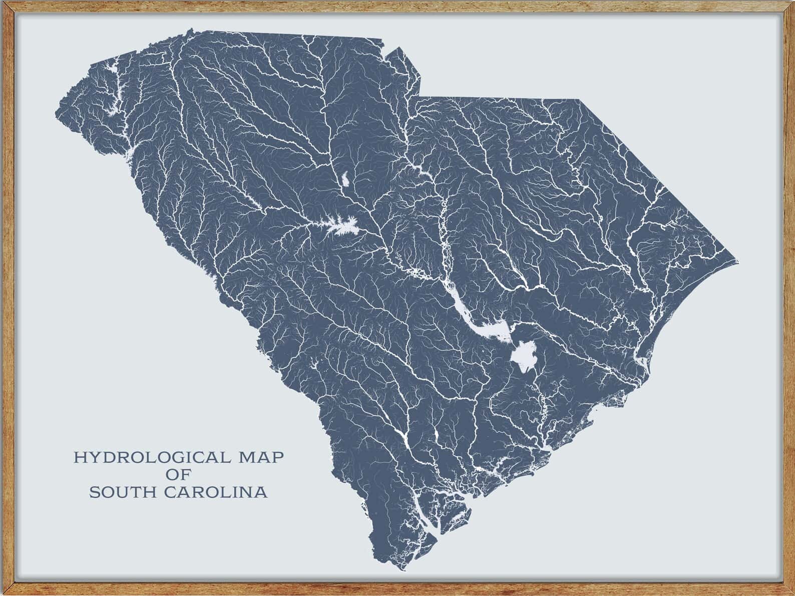
Rivers
Edisto River

The Edisto River is the longest and largest river system completely contained by the borders of South Carolina, flowing over 250 meandering miles from its sources in Saluda and Edgefield counties to its Atlantic Ocean mouth at Edisto Beach.
It is one of the longest free-flowing blackwater rivers in North America, and its name comes from the Edisto subtribe of the Cusabo Indians. The river flows through only one major town or city, Orangeburg, and its system forms a crucial part of the ACE Basin, an area that encompasses its bottomlands confluence with the Ashepoo and Combahee river basins.
Broad River
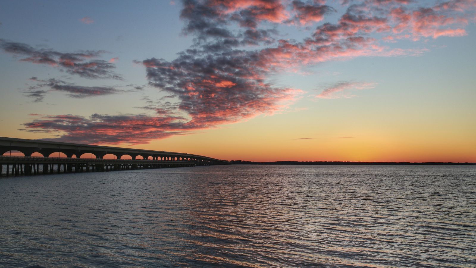
The Broad River is a principal tributary of the Congaree River in western North Carolina and northern South Carolina, about 150 miles long. It originates in the Blue Ridge Mountains of eastern Buncombe County, North Carolina, and flows generally south-southeastwardly, passing through or along the boundaries of several counties in both states.
In North Carolina, the river is dammed to form Lake Lure, while in South Carolina, it passes through the Sumter National Forest and several communities before joini
ng the Saluda River to form the Congaree River in the city of Columbia. The Broad River is part of the watershed of the Santee River, which flows to the Atlantic Ocean.
Savannah River
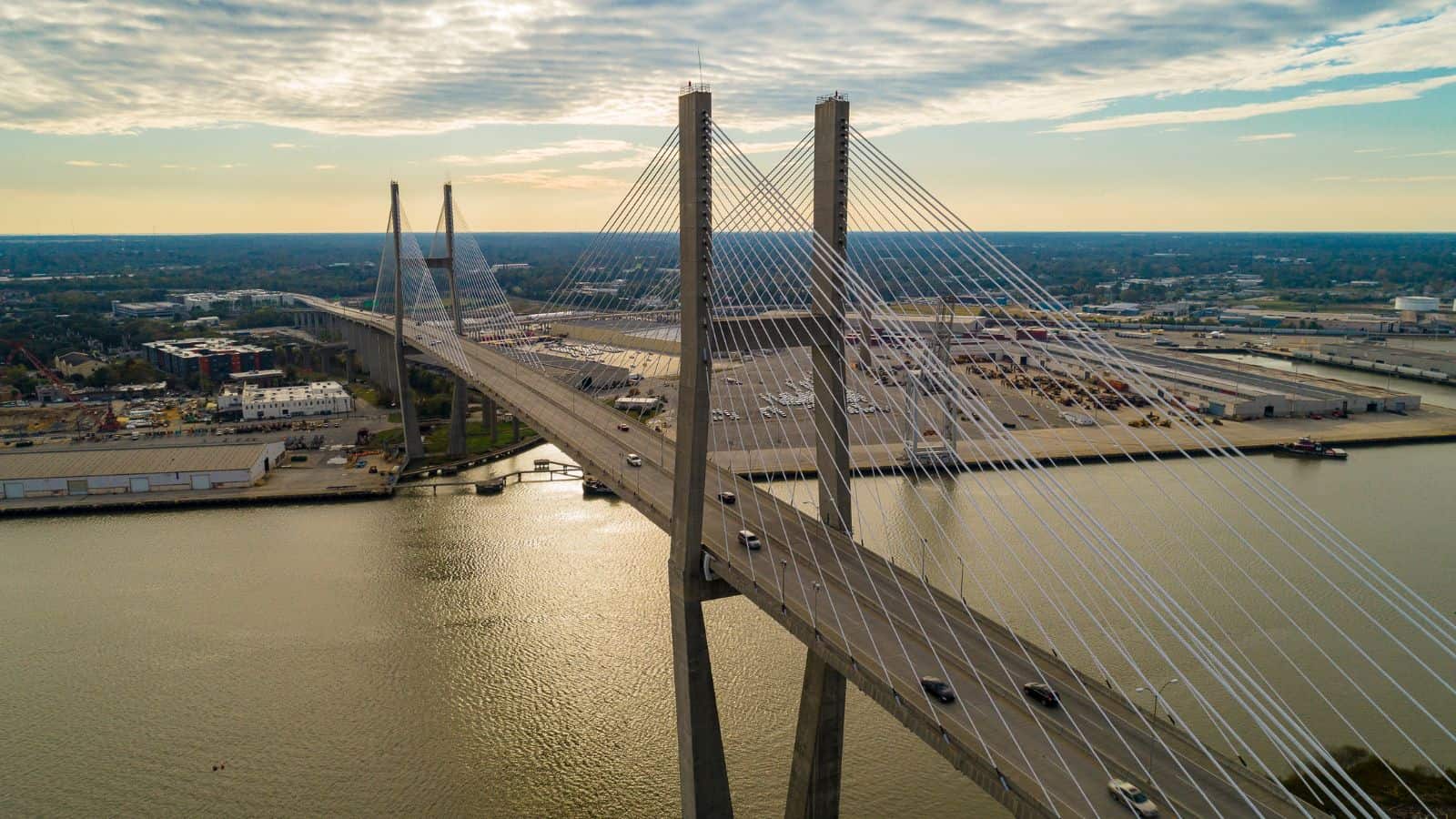
The Savannah River is a major river in the southeastern United States, forming most of the border between South Carolina and Georgia. The river is around 301 miles long and is formed by the confluence of the Tugaloo River and the Seneca River, with the Tallulah Gorge located on the Tallulah River, a tributary of the Tugaloo River.
Two major cities, Savannah and Augusta, are located along the Savannah River, and they were nuclei of early English settlements during the Colonial period of American history. The Savannah River is tidal at Savannah proper and broadens into an estuary downstream before flowing into the Atlantic Ocean, with the area where the river’s estuary meets the ocean known as “Tybee Roads”.
Saluda River

The Saluda River is a 200-mile-long principal tributary of the Congaree River in northern and western South Carolina, and it is part of the watershed of the Santee River, which flows to the Atlantic Ocean via the Congaree River.
The river originates in the mountains of North Carolina and flows southward through several counties in South Carolina, including Greenville, Pickens, and Richland. The Saluda River is an important source of drinking water for the city of Columbia and provides recreational opportunities such as fishing, kayaking, and tubing.
Catawba River

The Catawba River is a major river that originates in Western North Carolina and flows into South Carolina, where it later becomes known as the Wateree River. It is approximately 220 miles long and rises in the Appalachian Mountains before draining into the Piedmont.
The river has been impounded through a series of reservoirs for flood control and generation of hydroelectricity, and it passes through several lakes, including Lake James, Lake Norman, Mountain Island Lake, and Lake Wylie. The Catawba River is named after the Catawba tribe of Native Americans, who call themselves “people of the river” in their language and live on its banks.
Santee River
The Santee River is a 143-mile-long river in South Carolina that provides the principal drainage for the coastal areas of southeastern South Carolina and navigation for the central coastal plain of South Carolina, emptying into the Atlantic Ocean near McClellanville.
The river has its farthest headwaters on the Catawba River in North Carolina, and its watershed drains a large portion of the Piedmont regions of South and North Carolina. The Santee River is the second largest river on the eastern coast of the United States, second only to the Susquehanna River in drainage area and flow, and much of the upper river is impounded by the expansive, horn-shaped Lake Marion reservoir, formed by the 8-mile-long Santee Dam.
The dam was built during the Great Depression of the 1930s as a Works Progress Administration (WPA) project to provide a major source of hydroelectric power for the state of South Carolina.
Pee Dee River
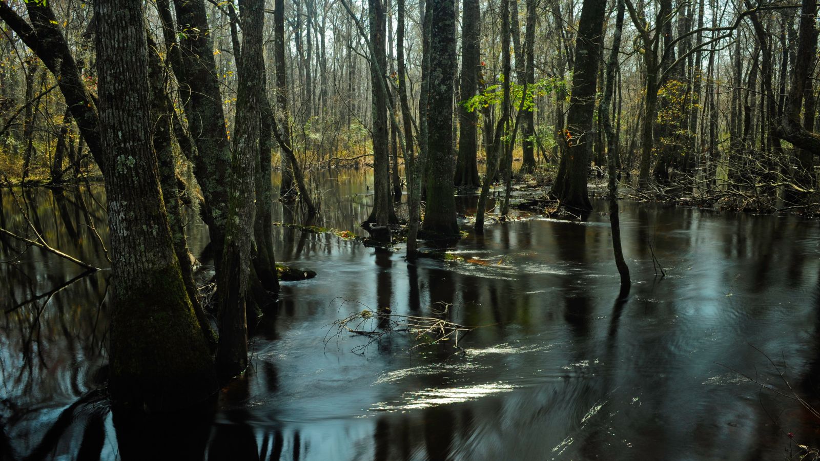
The Pee Dee River, also known as the Great Pee Dee River, is a river in the Carolinas that originates in the Appalachian Mountains in North Carolina, where its upper course is known as the Yadkin River. The river flows into Winyah Bay and then into the Atlantic Ocean near Georgetown.
The Pee Dee River is an important source of electric power and public water supplies, as well as recreational use, with numerous boat landings and opportunities for fishing and boating. The river is surrounded by forests of tupelo, oak, and gum, and herons, alligators, and bald eagles can be seen along the way.
Lynches River
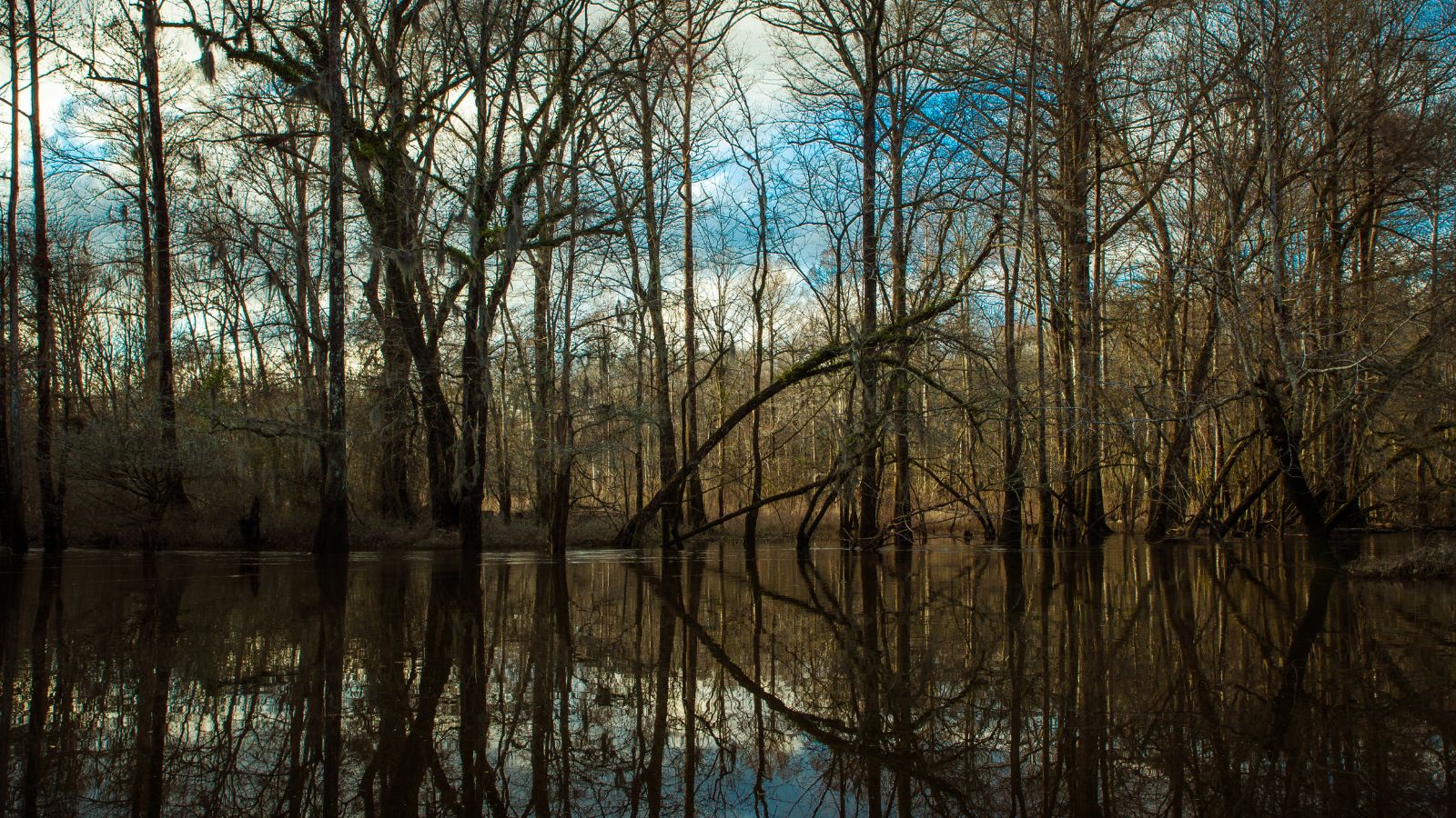
Lynches River, named for Thomas Lynch Jr., a signer of the Declaration of Independence, is a 140-mile-long river that rises in North Carolina and flows into the Great Pee Dee River near Johnsonville in South Carolina.
The river has a drainage area of 1,030 square miles and several sections of it have been designated by the state of South Carolina as a wild and scenic river, with the upper portions from Bishopville to the eastern boundary of Lynches River County Park receiving designation in 1994 and the lower 57-mile section designated in 2008.
The Lynches River is a popular spot for canoeing and fishing, with sunfish, redbreast, catfish, and bass being common catches, although Hurricane Hugo in 1989 felled many trees, blocking the flow at places, making navigation difficult at low water and dangerous at high water.
Waccamaw River
The Waccamaw River is a 140-mile-long river that flows through southeastern North Carolina and eastern South Carolina, draining an area of approximately 1,110 square miles in the coastal plain along the eastern border between the two states into the Atlantic Ocean.
The upper course of the river is a slow-moving, blackwater river surrounded by vast wetlands, passable only by shallow-draft watercraft such as canoes, while the lower course is lined by sandy banks and old plantation houses and provides an important navigation channel with a unique geography, flowing roughly parallel to the coast.
The Waccamaw River is home to diverse wildlife, including alligators, otters, and a variety of bird species, and it offers opportunities for fishing, boating, and other recreational activities.
Pacolet River
The Pacolet River is a 50-mile-long tributary of the Broad River in northwestern South Carolina, with one of its principal headwaters tributaries draining a small portion of western North Carolina.
The river is part of the watershed of the Santee River, which flows to the Atlantic Ocean via the Broad and Congaree rivers. The Pacolet River has historically been spelled as “Pacolate River”. The river offers opportunities for fishing, kayaking, and other recreational activities.
Enoree River
The Enoree River is an 85-mile-long tributary of the Broad River that flows through northwestern South Carolina, rising in the foothills of the Blue Ridge Mountains in Greenville County and flowing generally southeastwardly across the Piedmont region.
The river passes through or along the boundaries of Spartanburg, Laurens, Union, and Newberry Counties, past the communities of Taylors and Whitmire, and through the Sumter National Forest before flowing into the Broad River from the west in Newberry County, 15 miles northeast of the town of Newberry.
The Enoree River is part of the watershed of the Santee River, which flows to the Atlantic Ocean via the Broad and Congaree Rivers. The river offers opportunities for fishing, boating, and other recreational activities.
Salkahatchie River
The Salkehatchie River originates near the City of Barnwell, South Carolina, and merges with the Little Salkehatchie River to form the Combahee River Basin, which empties into Saint Helena Sound and the Atlantic Ocean, after accepting drainage from Turkey Creek and Whippy Swamp. The Little Salkehatchie River, before merging with the Salkehatchie River, accepts drainage from Lemon Creek, Buckhead Creek, and Willow Swamp.
The river and the swamps surrounding it played a significant role in the American Civil War, with United States General William Tecumseh Sherman marching his troops across the river and winning the Battle of Rivers’ Bridge, defeating a Confederate force led by Major General Lafayette McLaws, on his way to capture Columbia, South Carolina.
Lakes
Lake Moultrie

Lake Moultrie is a large man-made lake in South Carolina, covering more than 60,000 acres and created in the 1940s by a state utility project to provide electricity to rural areas by damming the Santee River. It is the third-largest lake in the state and offers a wide variety of recreational opportunities, including fishing.
The lake is located in Berkeley County, South Carolina, and is fed by the Santee River through Lake Marion and a diversion canal, with nearby towns including Moncks Corner, Bonneau Beach, Cross, and St. Stephen. Lake Moultrie is a popular spot for boating, swimming, camping, and other outdoor activities.
Lake Marion
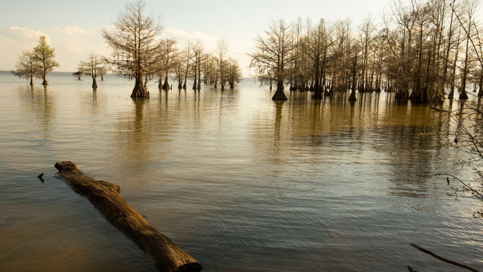
Lake Marion is a large man-made lake in central South Carolina, covering nearly 110,000 acres of rolling farmlands, former marshes, and river valley landscape, with a 315-mile shoreline. The lake spans five counties and is often referred to as South Carolina’s inland sea.
The Santee River was dammed in the 1940s to provide hydroelectric power, creating Lake Marion, which is one of the fifty largest lakes in the United States, whether natural or man-made reservoirs. At current capacity, it is only about a third of the area of what would be the fifteenth largest lake in the U.S. if filled to capacity. Lake Marion is a popular destination for fishing, boating, and other recreational activities.
Lake Murray
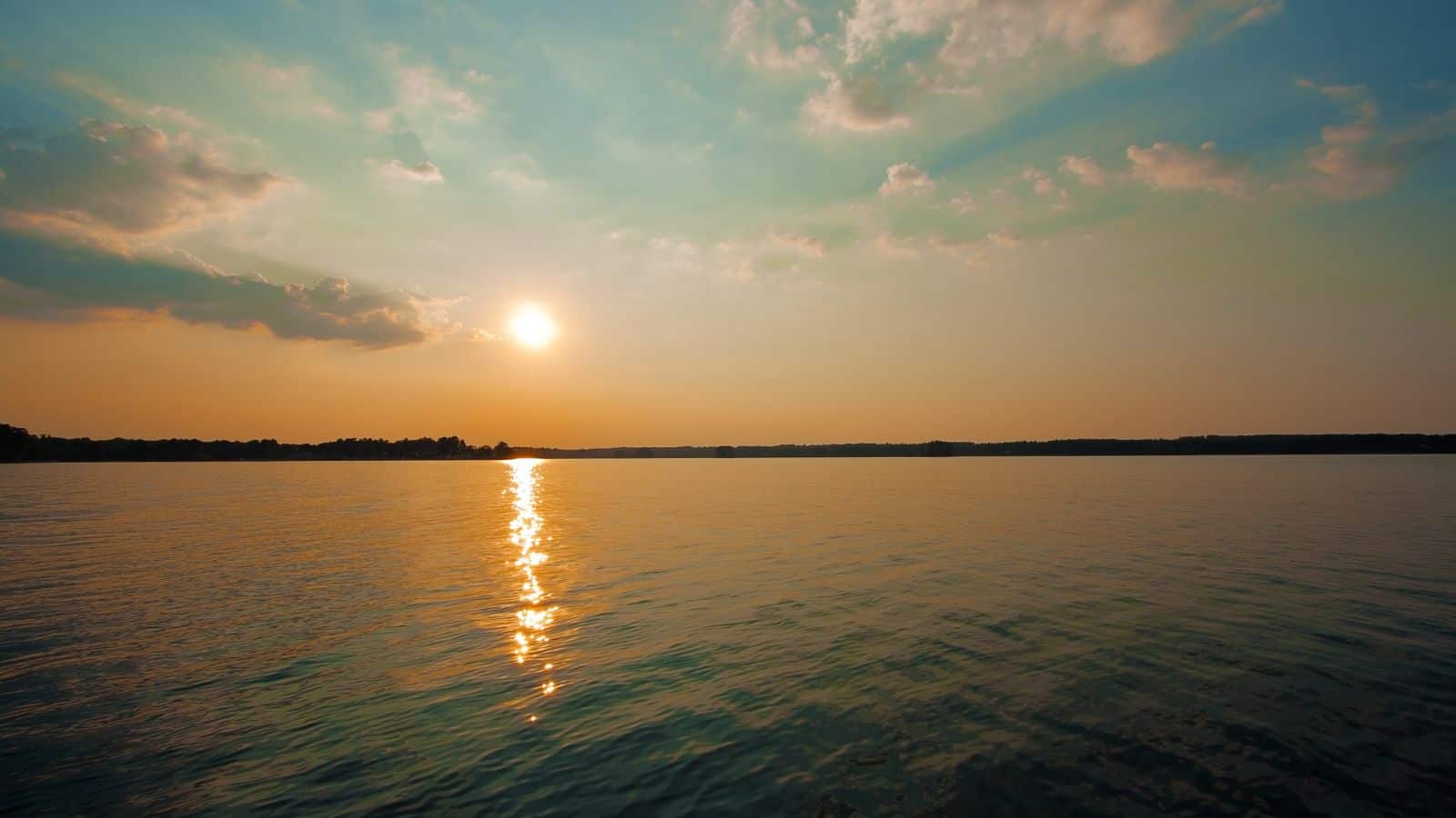
Lake Murray is a large reservoir in South Carolina, covering approximately 50,000 acres and having roughly 650 miles of shoreline. The lake was impounded in the late 1920s to provide hydroelectric power to the state and is fed by the Saluda River, with the Saluda Dam being an engineering feat at the time of its construction.
Lake Murray is named after the project’s chief engineer, William S. Murray, and is a popular recreational attraction, with fishing and boating being popular activities. The Dreher Island State Recreation Area, located in the western part of the lake, provides multiple activities focused on the lake, making it a popular destination for visitors.
Wateree Lake
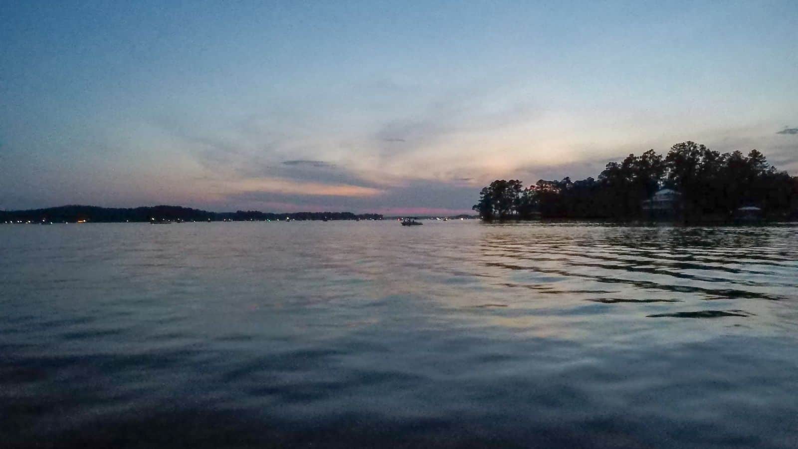
Lake Wateree is a 21-square-mile reservoir located in Kershaw, Fairfield, and Lancaster counties in South Carolina, developed in 1919 by the damming of the Wateree River, making it one of the state’s oldest man-made lakes. With 181 miles of shoreline, Lake Wateree includes Lake Wateree State Park, a bird refuge, and the Shaw Air Force Base Recreation Center.
The lake and river were named after the Wateree Native Americans, a historic tribe who lived in the area before European settlement. The Wateree tribe became extinct after European warfare and encroachment, and their descendants merged with the Catawba people.
Lake Keowee
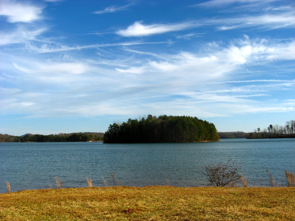
Lake Keowee is a man-made reservoir in South Carolina developed to serve the needs of power utility Duke Energy and for public recreational purposes. With a length of approximately 26 miles, width of 3 miles, and an average depth of 54 feet, Lake Keowee has a shoreline measured at 300 miles in total and is approximately 800 feet above sea level.
The lake was created in 1971 with the construction of two large dams, Keowee Dam and Little River Dam, and collects waters from the Keowee River, Little River, and others, with the outflows below the respective dams joining to form the Seneca River, which flows into the larger Savannah River. The lake provides a recreational destination for fishing, boating, swimming, sailing, kayaking, and other watersports, and has been described as having pure and clean water.
Lake Jocassee
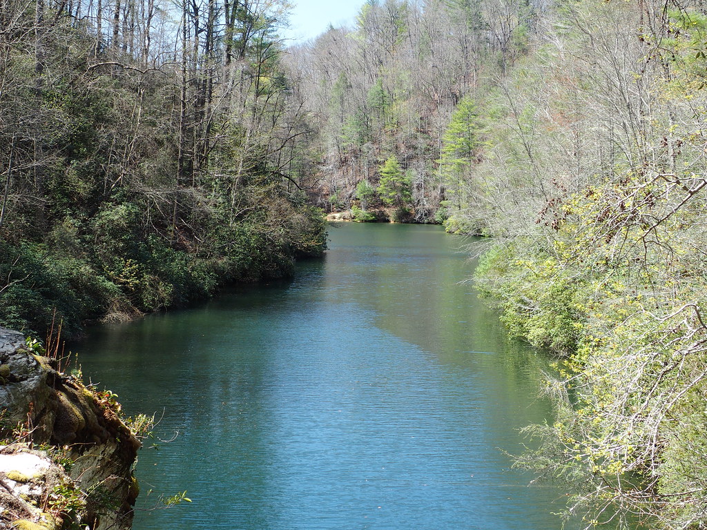
Lake Jocassee is a 7,500-acre, 300-foot-deep reservoir in northwest South Carolina, created in 1973 by the state in partnership with Duke Power. The lake is known for its cool and clear waters, which are kept that way by the clean Appalachian mountain rivers that flow into it year-round.
The Jocassee Dam, forming the lake, is 385 feet high and 1,750 feet long, and the lake is within Devils Fork State Park. The lake is also home to several waterfalls, including Laurel Fork Falls, Mill Creek Falls, Wright Fork Falls, and Moondance Falls, which flow directly into the lake.
Lake Greenwood
Lake Greenwood is a man-made lake in South Carolina, formed by a hydroelectric dam built across the Saluda River near Chappells. The lake has 212 miles of shoreline and 11,400 acres, with the waters extending into three counties.
Greenwood County owns the entire lake bed, having purchased all properties comprising the bed of the lake from farmers along both sides of the rivers in the late 1930s, with funding provided by loans from the Public Works Administration during the Great Depression.
The Saluda River, Reedy River, and Rabon Creek come together to feed Lake Greenwood, with water released from the lake feeding into the Saluda River at Chappells, which ultimately feeds into Lake Murray.

