Amid the coastal charm and historical landmarks of the Ocean State, a lesser-explored narrative unfolds – a story woven not just in its colonial past but in the gentle flow of its rivers and the tranquil expanses of its lakes. Rhode Island, celebrated for its maritime heritage and vibrant culture, cradles within its embrace a treasure less acknowledged – a network of waterways that mirror its legacy of resilience and connection.
Like whispered secrets carried by the sea breeze, Rhode Island’s scenic rivers and lakes carry tales of exploration, industry, and the inseparable bond between its people and the water. In this article, we embark on a journey that navigates the courses of Rhode Island’s rivers and reflects upon the mirrored surfaces of its lakes.
Join us as we unveil the significance of these aqueous narratives, uncovering their role in shaping the state’s identity, culture, and livelihoods, and revealing how water has sewn itself into the very fabric of the Ocean State’s compelling story.
Printable Rhode Island Lakes and Rivers Map

Rivers
Sakonnet River

The Sakonnet River is a tidal strait in Rhode Island, flowing approximately 14 miles between Mount Hope Bay and Rhode Island Sound, and separating Aquidneck Island from the eastern portion of Newport County.
The river is a popular destination for recreational activities such as boating, fishing, and kayaking, and it is home to a variety of fish species including striped bass, bluefish, and flounder. The Sakonnet River is also known for its scenic beauty, with many waterfront properties and parks offering stunning views of the water.
Pawtuxet River
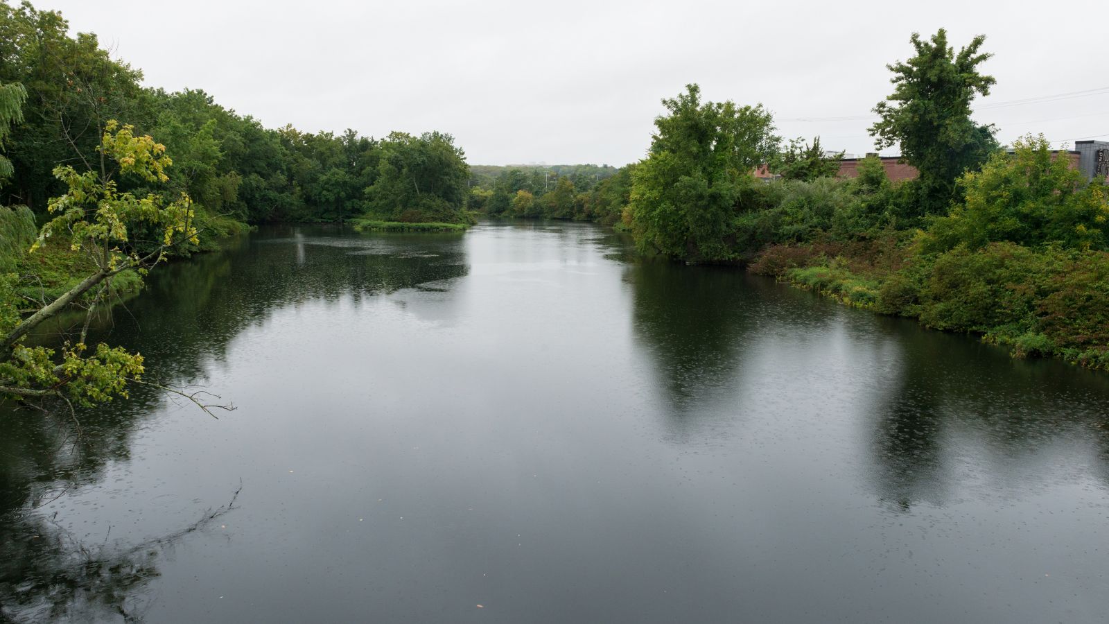
The Pawtuxet River, also known as the Pawtuxet River Main Stem and the Lower Pawtuxet, is a 12.3-mile-long river in Rhode Island that empties into the upper Narragansett Bay of the Atlantic Ocean.
With its two main tributary branches, the North Branch Pawtuxet River and the South Branch Pawtuxet River, the river drains a watershed of 231.6 square miles, all of which is in Rhode Island. The Pawtuxet River is a popular destination for recreational activities such as fishing, canoeing, and kayaking, and it is home to a variety of fish species including trout, bass, and pickerel.
Blackstone River
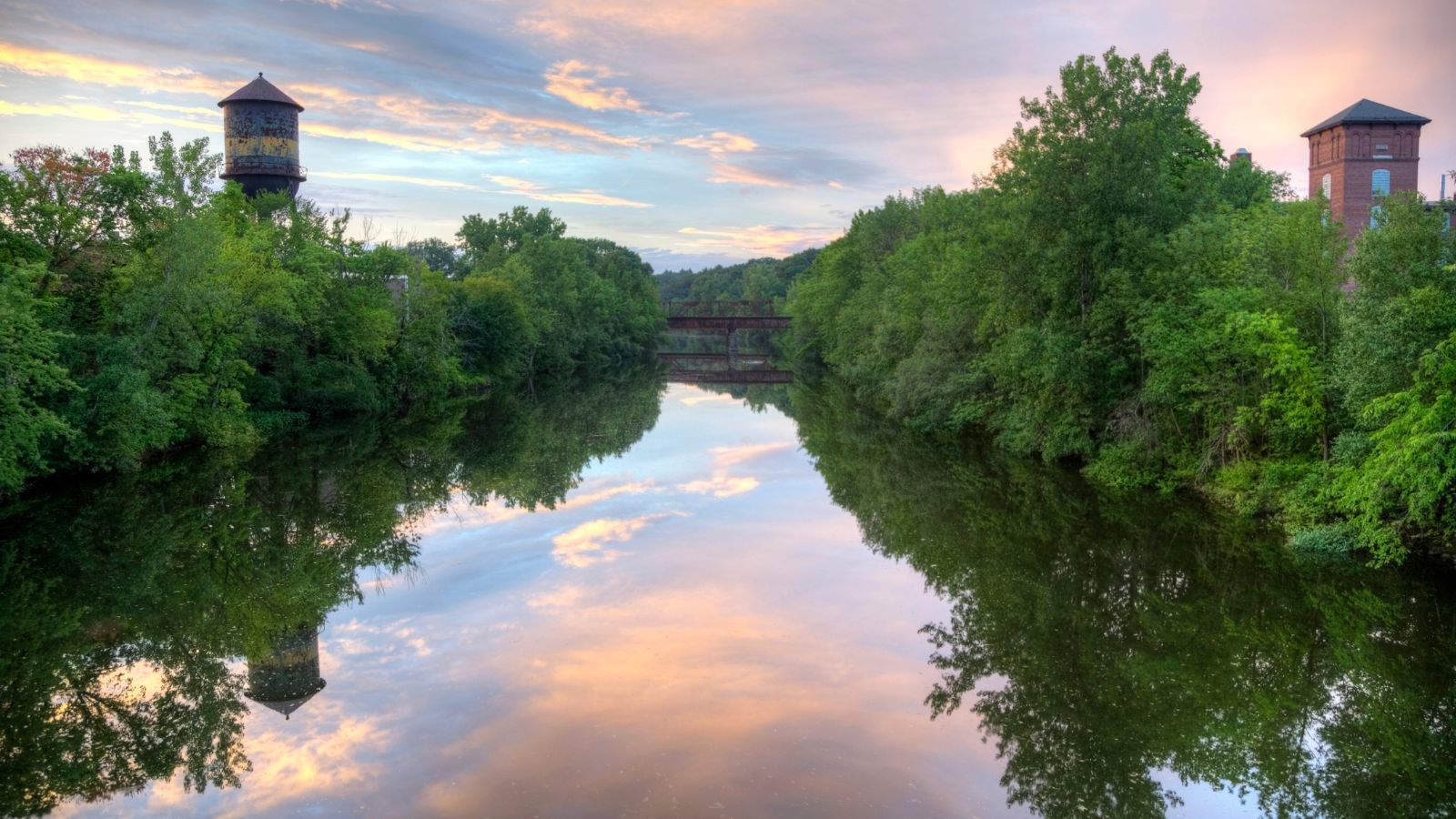
The Blackstone River is a 48-mile-long river that flows through Massachusetts and Rhode Island, draining a watershed of approximately 540 square miles. Its long history of industrial use has left a legacy of pollution, and it was characterized by the United States Environmental Protection Agency in 1990 as “the most polluted river in the country concerning toxic sediments.”
However, efforts have been made to clean up the river, and it is now a popular destination for recreational activities such as canoeing, kayaking, and fishing. The Blackstone River is also a significant historical site, with many of its mills and factories dating back to the Industrial Revolution.
Branch River
The Branch River is a 10-mile-long river in Rhode Island that flows from Burrillville to North Smithfield, where it meets the Blackstone River. The river has six dams along its length, including those forming the Slatersville Reservoir, and it provided energy for many of the region’s textile mills in the nineteenth century.
Today, the Branch River is a popular destination for recreational activities such as fishing, kayaking, and canoeing, and it offers scenic views of the surrounding wildlife and forests.
Pawcatuck River
The Pawcatuck River is a 34-mile-long river that flows through Rhode Island and Connecticut, with eight dams along its length. The river was specified as the western boundary of the Colony of Rhode Island and Providence Plantations in the original charter of 1636, and it was formerly called the Charles River between its source and the mouth of the Wood River near Bradford, Rhode Island.
The river is also known for its wildlife, with an Atlantic white-sided dolphin swimming several miles up the river to Westerly, Rhode Island in 2006. However, the dolphin became sick and died after being captured and taken to the Mystic Aquarium.
Usquepaug River
The Usquepaug River is a 7.5-mile-long river in Rhode Island that is a major tributary of the Pawcatuck River. The river is formed by the confluence of the Queen River and Glen Rock Brook, just above the village of Usquepaug, and it flows into Glen Rock Reservoir before continuing south through Usquepaug and on to the Pawcatuck River.
The Usquepaug River is a popular destination for recreational activities such as fishing, kayaking, and canoeing, and it offers scenic views of the surrounding forests and wildlife. There are two dams along the river’s length that provide hydroelectric power.
Providence River
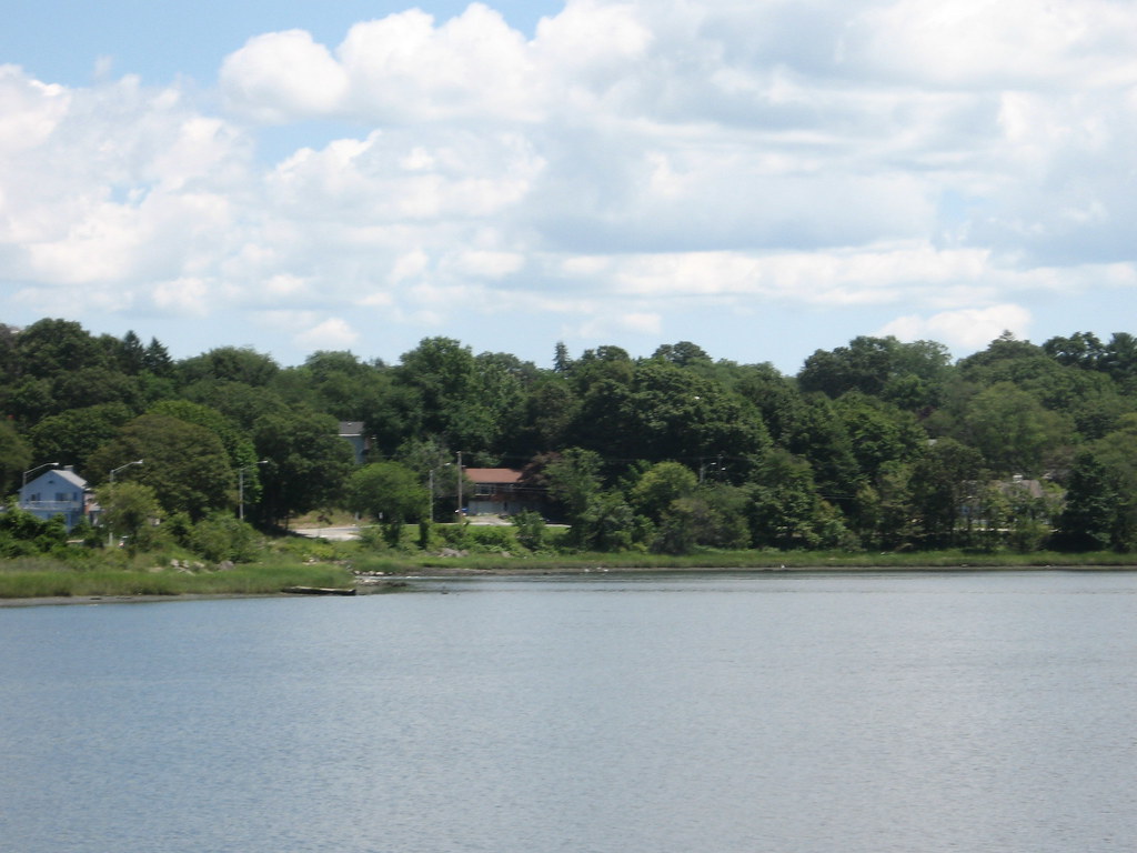
The Providence River is an 8-mile-long tidal river in Rhode Island that flows from the head of Narragansett Bay to downtown Providence. The river has no dams along its length, but the Fox Point Hurricane Barrier is located south of downtown to protect the city of Providence from damaging tidal floods.
The southern part of the river has been dredged at a cost of $65 million in federal and state funds to benefit nearby marinas and commercial shipping interests. The Providence River played a significant role in the colonial era as the northeastern limit of Dutch claims, and it can be regarded as the original boundary between the English New England colonies and the Dutch colony of New Netherland.
Woonasquatucket River

The Woonasquatucket River is a 15.8-mile-long river in Rhode Island that drains a watershed of 50 square miles. The river, whose name means “where the salt water ends” in Algonquian, played an active role in the Industrial Revolution and the history of Rhode Island in the 19th century, and evidence of this industrial history remains in the fact that there are 18 dams along the river’s length.
Together with the Blackstone River to the north, the Woonasquatucket was designated an American Heritage River in 1998, recognizing its importance to the region’s cultural and economic history. The river is now a popular destination for recreational activities such as fishing, kayaking, and hiking, and it offers scenic views of the surrounding forests and wildlife.
Ponaganset River
The Ponaganset River is a 12.5-mile-long river in Rhode Island that flows from the Ponaganset Reservoir in Glocester, through Glocester, Foster, and Scituate, and into the Scituate Reservoir. The river has three dams along its length, and it used to converge with the Moswansicut River to form the North Branch Pawtuxet River in the area that is now flooded by the reservoir.
The Ponaganset River is a popular destination for recreational activities such as fishing, kayaking, and hiking, and it offers scenic views of the surrounding forests and wildlife. The river’s source is the Ponaganset Reservoir, where water still flows naturally out of the lake, unimpeded by a dam.
Lakes
Wallum Lake
Wallum Lake is a 322-acre lake that lies in Burrillville, Providence County, Rhode Island, and Douglas, Worcester County, Massachusetts and is adjacent to Douglas State Forest and Wallum Lake Park.
The lake is a popular destination for recreational activities such as fishing, boating, and hiking, and there are two paved boat ramps available for use. A study reported ten species of fish in the lake, including largemouth bass, yellow perch, and bluegills, and the lake has been stocked with rainbow trout, brown trout, and landlocked salmon. Licenses from either state are valid, but Rhode Island regulations apply.
Worden Pond
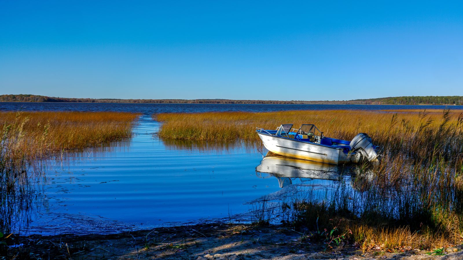
Worden Pond is the largest natural freshwater lake in the state of Rhode Island and is located in South Kingstown, Washington County. The lake covers a large area and is the second-largest freshwater lake in the state, behind Scituate Reservoir.
Worden Pond is a popular destination for recreational activities such as fishing, boating, and swimming, and it offers scenic views of the surrounding forests and wildlife.
Scituate Reservoir

The Scituate Reservoir is the largest inland body of water in Rhode Island, with an aggregate capacity of 39 billion US gallons and a surface area of 5.3 square miles. The reservoir and its six tributary reservoirs supply drinking water to more than 60 percent of the state’s population, including Providence.
The surrounding drainage basin that provides water to the reservoir system covers an area of about 94 square miles, which includes parts of Scituate, Foster, Glocester, Johnston, and Cranston, and the reservoir is operated by Providence Water Supply Board. The Scituate Reservoir is a vital resource for the state of Rhode Island, and it provides a reliable source of clean drinking water to thousands of people.
Miscoe Lake
Miscoe Lake is a 49-acre reservoir located in Cumberland, Providence County, Rhode Island, with the northern tip of the lake lying in Wrentham, Norfolk County, Massachusetts. The lake has also been known as Grants Mills Pond and Miso Meadow Pond.
At the southern part of the lake is the historical Grant’s Mill, which resides on Miscoe Lake Dam, built in 1937. The dam’s height is 14 feet with a length of 75 feet, and it has a maximum discharge of 70 cubic feet per second. The dam drains an area of 3 square miles, and its capacity is 244 acre-feet with normal storage of 226 acre-feet.
Diamond Hill Reservoir
Diamond Hill Reservoir, also known as the Pawtucket Upper Reservoir, is a large reservoir located in Cumberland, Providence County, Rhode Island, near Diamond Hill. The earthen Diamond Hill Reservoir Dam was constructed in 1971 with a height of 80 feet and a length of 2,000 feet at its crest, impounding the Abbott Run waterway for municipal drinking water.
The reservoir has a normal surface area of 390 acres, a maximum capacity of 15,680 acre-feet, and a normal storage of 11,000 acre-feet, and it is owned and operated by the city of Pawtucket’s Water Supply Board. Adjacent to the south is the Arnold Mills Reservoir. Diamond Hill Reservoir is a vital resource for the city of Pawtucket, and it provides a reliable source of clean drinking water to thousands of people.

