Amid the sweeping desert landscapes and vibrant cultural tapestry of the Land of Enchantment lies a lesser-explored masterpiece – an intricate network of rivers and lakes that etch their stories upon the canvas of New Mexico’s geography. Celebrated for its southwestern charm and artistic allure, the state cradles within its embrace a liquid treasure – a testament to the unbreakable connection between water and life.
Like the whispers of ancient legends, New Mexico’s rivers and lakes carry tales of sustenance, survival, and the spiritual significance of water in the arid expanse. In this article, we embark on a journey that follows the courses of New Mexico’s rivers and immerses us in the reflective stillness of its lakes.
Join us as we unveil the significance of these aqueous strokes, uncovering their cultural, ecological, and aesthetic importance, and revealing how they’ve shaped the vibrant palette of the Land of Enchantment – a palette that shimmers not only with desert hues but also with the fluid essence of water.
Printable New Mexico Lakes and Rivers Map

Rivers
Pecos River
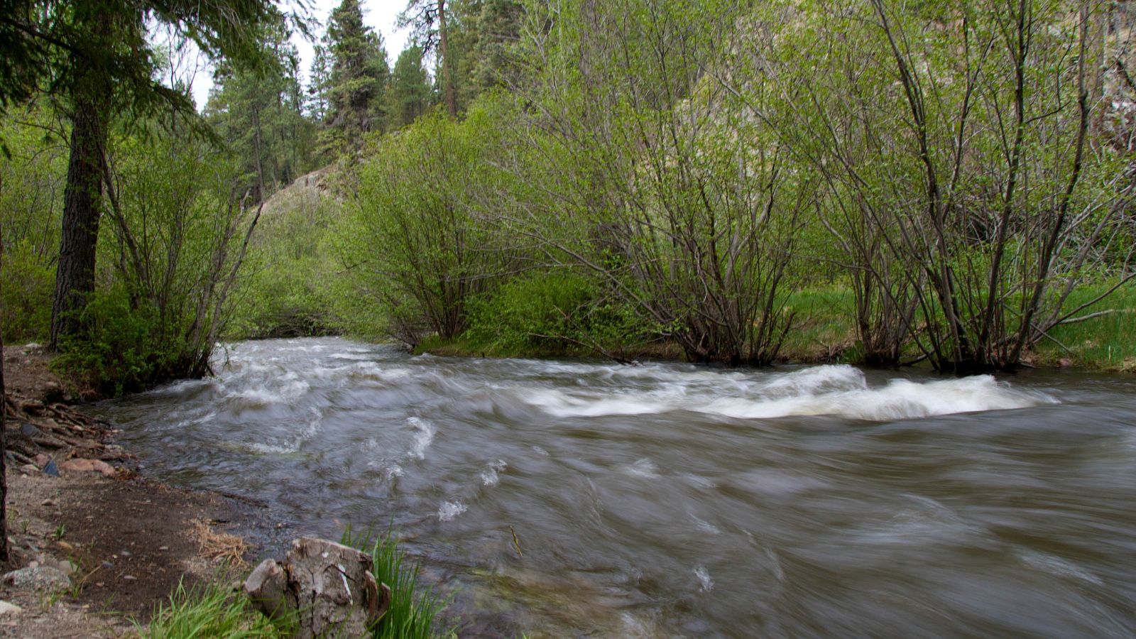
The Pecos River, which originates in north-central New Mexico and flows into Texas, is a 926-mile-long river that empties into the Rio Grande. Its headwaters are on the eastern slope of the Sangre de Cristo mountain range in Mora County north of Pecos, New Mexico, and its drainage basin encompasses about 44,300 square miles.
The river played a significant role in the exploration of Texas by the Spanish and was historically referred to as the Río Natagés for the Mescalero people. New Mexico and Texas disputed water rights to the river until the U.S. government settled the dispute in 1949 with the Pecos River Compact.
Rio Grande
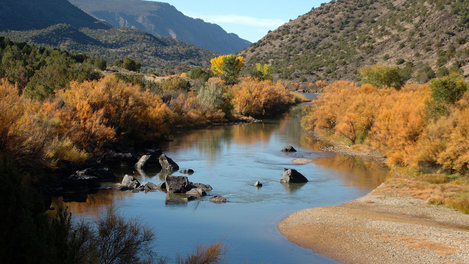
The Rio Grande is one of the principal rivers in the southwestern United States and northern Mexico, with a length of 1,896 miles, making it the 4th longest river in North America by main stem.
The river originates in south-central Colorado, in the United States, and flows to the Gulf of Mexico, with its fertile valley and tributaries being a vital water source for seven US and Mexican states. Despite its importance, only 20% of the Rio Grande’s water reaches the Gulf of Mexico since most of it is consumed by farmland irrigation and cities’ water needs.
San Juan River
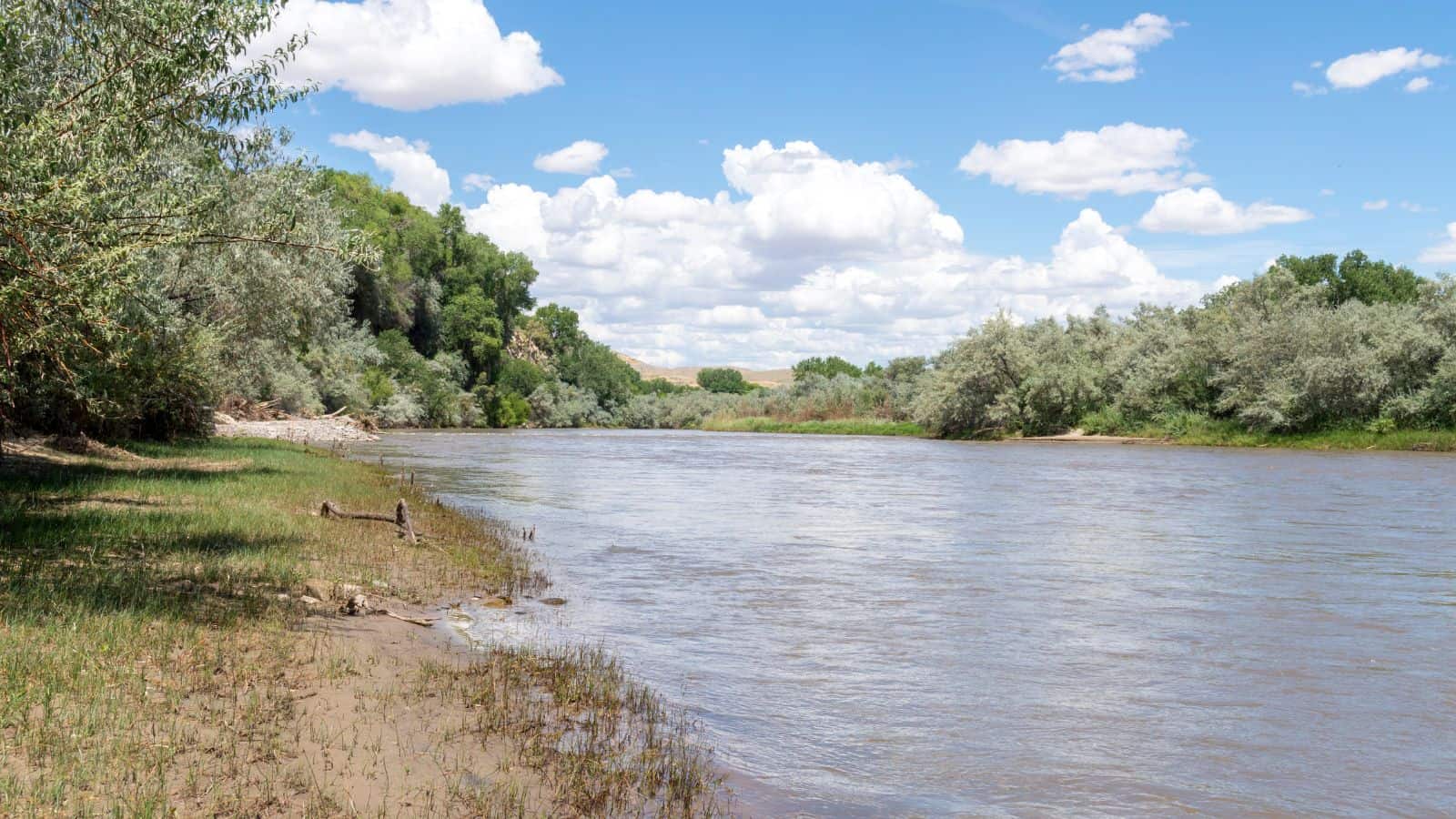
The San Juan River is a major tributary of the Colorado River, flowing 383 miles through the deserts of northern New Mexico and southeastern Utah to join the Colorado River at Glen Canyon. It is one of the muddiest rivers in North America, carrying an average of 25 million US tons of silt and sediment each year. It is often the only significant source of fresh water for many miles.
The river has been a crucial source of water for irrigation, but heavy water use has significantly reduced its flow by as much as 25 percent since pre-development conditions, and warming temperatures in the Rocky Mountains are projected to have a further negative effect on snowpack and thus stream flow.
Rio Chama
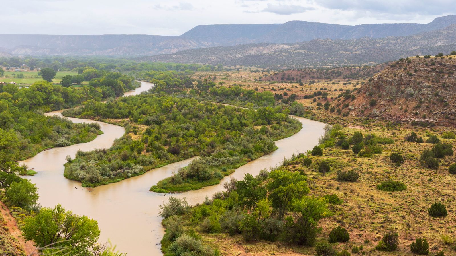
The Rio Chama is a major tributary river of the Rio Grande, located in the U.S. states of Colorado and New Mexico. The river originates in south-central Colorado, just above the New Mexico border in the San Juan Mountains and Rio Grande National Forest, and flows generally south.
The river is about 130 miles long altogether, with its main stem beginning at the confluence of two short headwater tributaries called West Fork and East Fork, and it is joined by several tributaries along its course, including Rio Gallina and Rio Puerco.
Rio Puerco
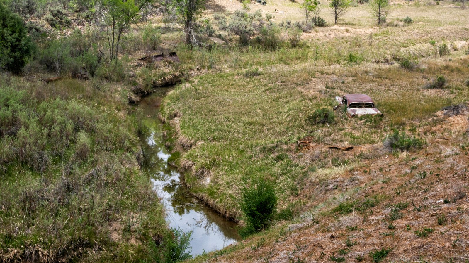
The Rio Puerco is a tributary of the Rio Grande in the U.S. state of New Mexico, with a length of about 230 miles and a drainage basin of about 7,350 square miles.
The river is ephemeral, with no streamflow for part of the year, and its discharge averages 39.5 cubic feet per second. The greatest flood since about 1880 occurred on September 23, 1929, with an estimated discharge of 35,000 cubic feet per second.
Gila River
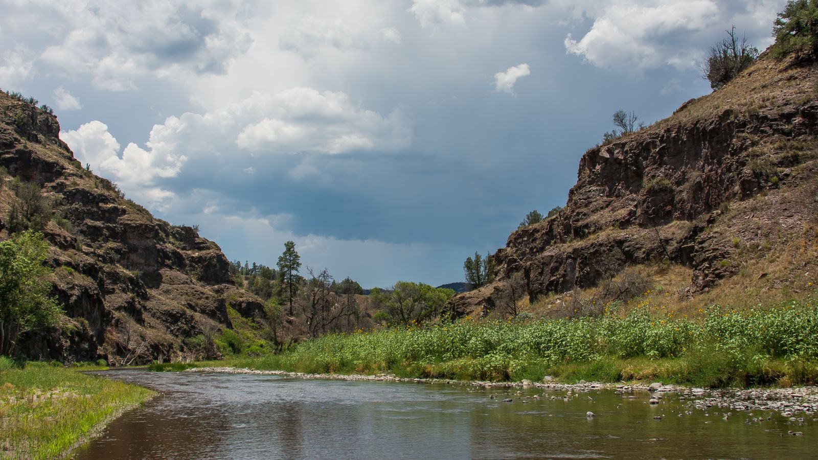
The Gila River is a 649-mile-long tributary of the Colorado River flowing through New Mexico and Arizona in the United States, draining an arid watershed of nearly 60,000 square miles. Indigenous peoples have lived along the river for at least 2,000 years, establishing complex agricultural societies, but European Americans did not permanently settle the Gila River watershed until the mid-19th century.
During the 20th century, human development of the Gila River watershed prompted the construction of large diversion and flood control structures on the river and its tributaries, reducing its historic flow to only a small fraction of what it used to be.
Rio Hondo
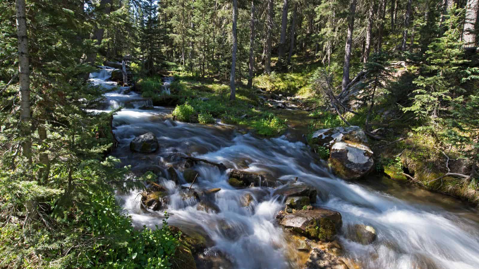
The Rio Hondo is a 79-mile-long river in southern New Mexico that begins at the confluence of the Rio Bonito and Rio Ruidoso rivers near the town of Hondo, New Mexico. The river flows eastward through the Hondo Valley in the foothills of the Sierra Blanca and Capitan Mountains, and near the community of Riverside, the river passes through a deep canyon before entering the rolling hills west of Roswell.
The upper stretch of the river typically flows year-round. However, irrigation along the length of the river siphons off much of the natural flow, and by the time the river reaches Roswell, it is usually dry, except after storms and during the spring runoff from the mountains.
Chaco River
The Chaco River is a tributary of the San Juan River in San Juan County, New Mexico, with its source located at an elevation of 6,050 feet and its mouth lying at an elevation of 4,918 feet. The river’s confluence with Chaco Wash and Escavado Wash is just northwest of the mouth of Chaco Canyon.
Vermejo River
The Vermejo River is a tributary of the Canadian River in Colfax County, New Mexico, flowing southeast from the confluence of North Fork Vermejo River and Little Vermejo Creek to a confluence with the Canadian River south of Maxwell.
The upper course of the Vermejo flows through Vermejo Park Ranch, one of the largest ranches in the U.S., and is now primarily devoted to recreation such as fishing and hunting. The river’s name, Vermejo, means “reddish” in Spanish and has the same origin as the word “vermilion.”
Mora River
The Mora River, also known as Rio Mora, is a stream in Mora and San Miguel County, New Mexico, with its headwaters on Osha Mountain of the Sangre de Cristo Mountains. The river flows downstream primarily through private land, but there are areas for fishing brown and rainbow trout below on public land in the town of Mora. It is a tributary of the Canadian River and was called Rio Mora or Rio de lo de Mora on early maps.
Cimarron River
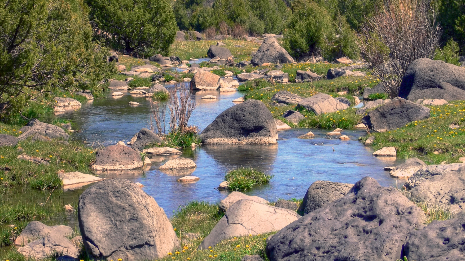
The Cimarron River, also known as La Flecha or Semarone, flows entirely in New Mexico and has its headwaters in Moreno, Sixmile, and Cieneguilla creeks in the Sangre de Cristo Mountains, which feed into Eagle Nest Dam.
From the dam, it runs for 60 miles to below the city of Springer, New Mexico in the Taylor Springs area, where it flows into the Canadian River, the southwesternmost major tributary flowing into the Mississippi River via the Arkansas River sub-basin. The river flows within a mountainous canyon that is part of Cimarron Canyon State Park in the lower Sangre de Cristo Mountains and runs down into the eastern plains of New Mexico.
Rio Salado River
The Rio Salado is a tributary of the Rio Grande in the U.S. state of New Mexico, flowing about 86 miles generally east to join the Rio Grande just north of Polvadera and about 15 miles north of Socorro.
The name Río Salado means “salty river” in Spanish, and it originates in northeastern Catron County, flowing east, then north, then southeast through Cow Spring Canyon. The river is joined by several tributaries, including Alamocita Creek, Gallegos Creek, and La Jenica Creek, before emptying into the Rio Grande.
Rio San Jose River
The Rio San Jose is a 90-mile-long tributary of the Rio Puerco in New Mexico, with its farthest tributary stream being Bluewater Creek, which is dammed to form Bluewater Lake. The river flows southeast through Grants, then turns east near McCartys, flowing through the Acoma Indian Reservation and Laguna Pueblo, where the remains of an ancient dam constructed by the Laguna people can be found.
The river’s entire course below Bluewater Creek is roughly paralleled by the BNSF Railway tracks and the river valley provides the route for old U.S. Route 66 and I-40 between Bluewater Village and Mesita.
Lakes
Conchas Lake

Conchas Lake is a 25-mile-long reservoir in northeastern New Mexico, behind Conchas Dam on the Canadian River, completed in 1939 by the United States Army Corps of Engineers. The lake has an elevation of 4,200 feet and a surface area of 9,600 acres, and adjacent to it is Conchas Lake State Park, which is divided into two separate areas, north and south.
The lake is home to various fish species, including walleye, largemouth bass, White bass, Shad, Flathead catfish, channel catfish, bluegill, and crappie, and visitors can access it via New Mexico State Road 104.
Elephant Butte Reservoir
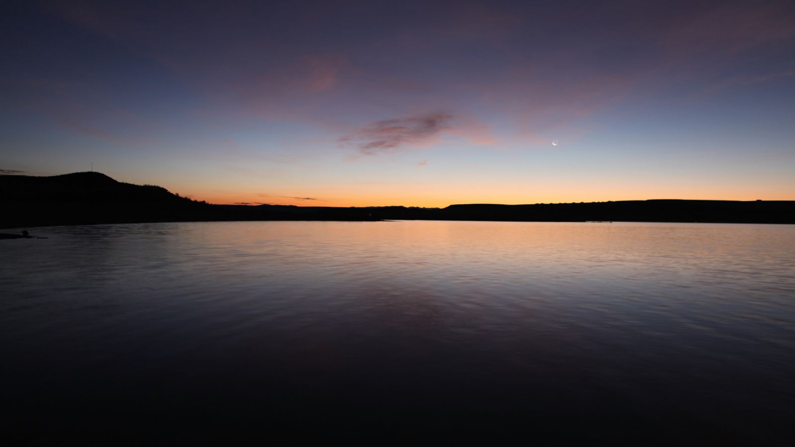
Elephant Butte Reservoir is the largest reservoir in New Mexico by total surface area and peak volume, located on the southern part of the Rio Grande, 5 miles north of Truth or Consequences. It is impounded by Elephant Butte Dam and is part of the largest state park in New Mexico, Elephant Butte Lake State Park.
The reservoir is part of the Rio Grande Project to provide power and irrigation to south-central New Mexico and western Texas and is home to various fish species, making fishing a popular recreational activity on the lake.
Heron Lake

Heron Lake is a reservoir located in Rio Arriba County, New Mexico, as part of the San Juan-Chama Project, which connects the San Juan River in Colorado to the Rio Chama. The lake is approximately 4 miles long and 3 miles wide and lies at an elevation of up to 7,186 feet.
Heron Dam, which impounds water in the lake, is owned and operated by the United States Bureau of Reclamation, and the southern shore is the location of Heron Lake State Park, featuring over 200 camping and picnic sites, and two improved boat ramps.
Abiquiu Lake
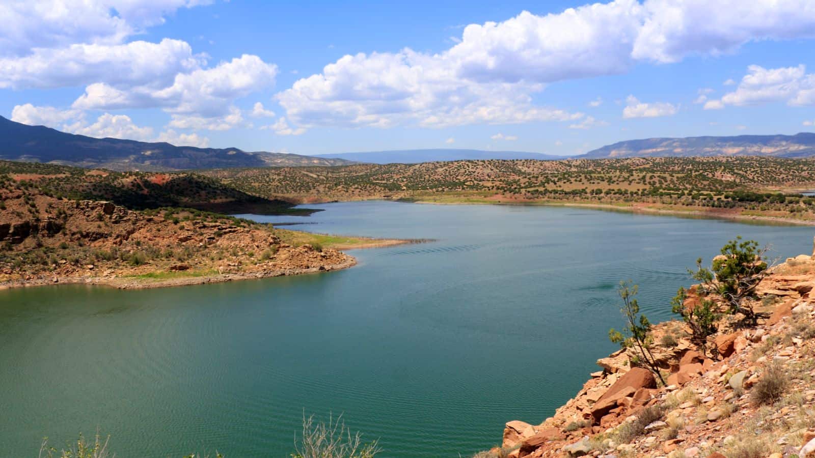
Abiquiu Lake is a reservoir located in Rio Arriba County, northern New Mexico, impounded by the earth-filled Abiquiu Dam, which is 1,800 feet long and 340 feet high, completed in 1963 and raised in 1986. The 5,200-acre lake is over 12 miles long and lies at elevations of 6,100–6,220 feet.
The shoreline area near the dam is a recreation area managed by the US Army Corps of Engineers, offering various activities, including camping, picnicking, hiking, swimming, boating, and fishing.
Navajo Lake
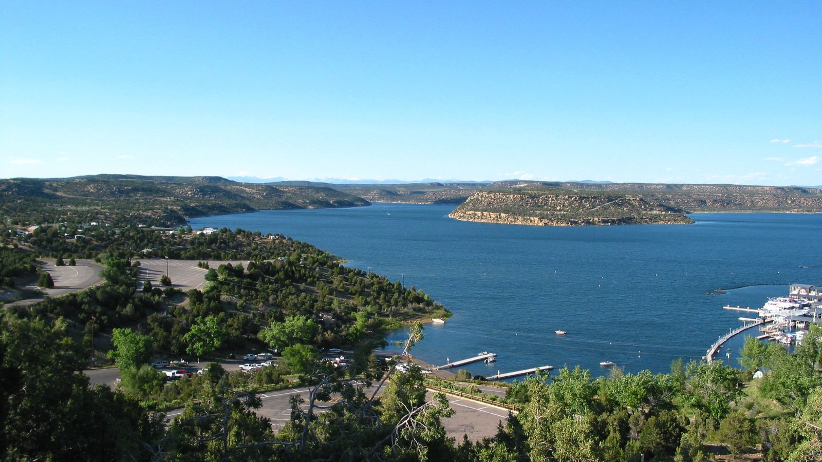
Navajo Lake is a reservoir located in San Juan County and Rio Arriba County in northwestern New Mexico, with portions of the reservoir extending into Archuleta County in southern Colorado. The lake is part of the Colorado River Storage Project and is impounded by the earth- and rock-filled Navajo Dam, which is 3,800 feet long and 400 feet high.
The lake, which is over 25 miles long and lies at an elevation of up to 6,085 feet, is home to various fish species, including smallmouth bass, black crappie, northern pike, channel catfish, and trout, and the associated shoreline areas near the dam in New Mexico and the river shorelines below the dam are part of New Mexico’s Navajo Lake State Park.

